© Waldviertel Tourismus - Destination Waldviertel

- Difficoltà
-
facile
- Valutazione
-
- Percorso
-
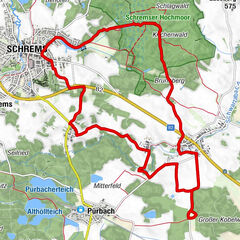
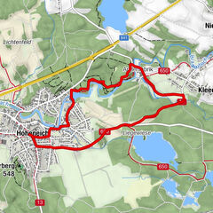
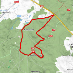
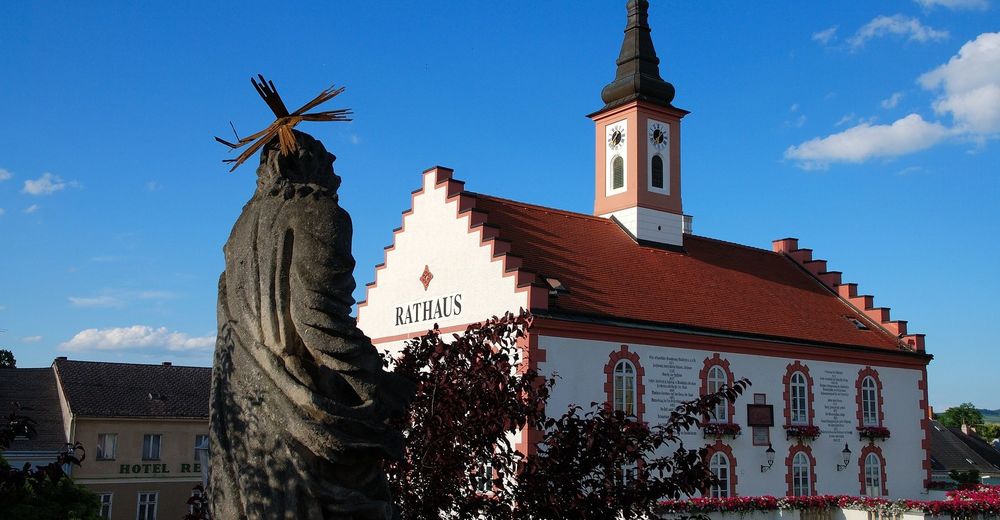
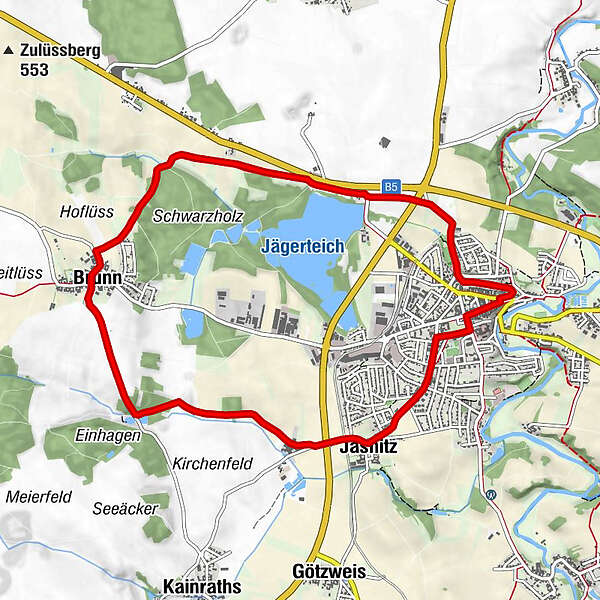
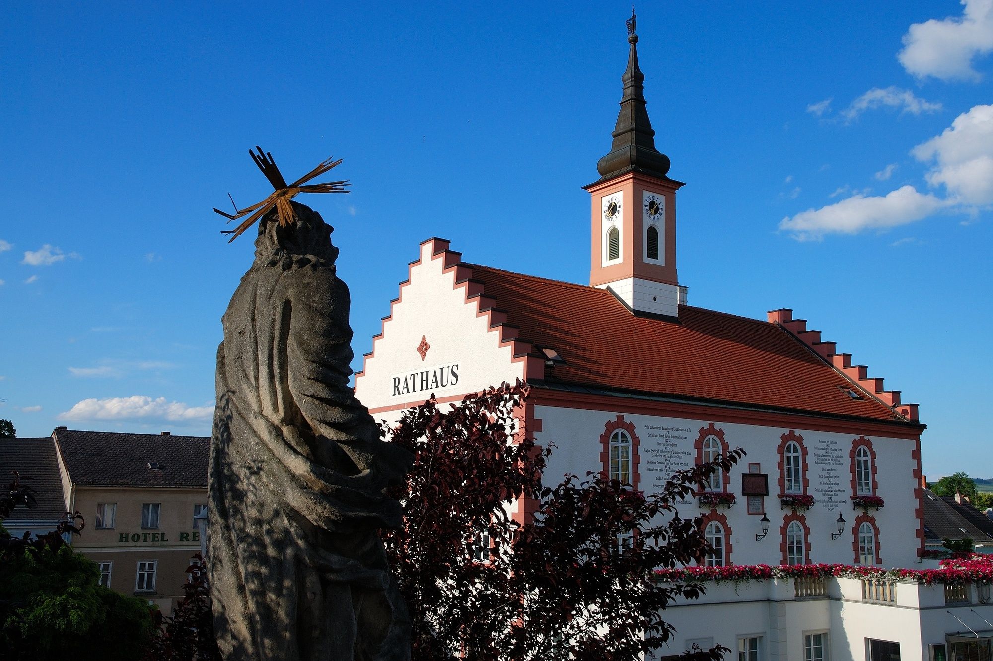
Waidhofen an der Thaya (510 m)Stadtpfarrkirche Mariae HimmelfahrtOrtskapelle5,1 kmBrunn5,1 kmJasnitz8,4 kmOrtskapelle8,4 kmZwiebel-Kapelle9,8 kmStadtpfarrkirche Mariae Himmelfahrt10,0 kmWaidhofen an der Thaya (510 m)10,0 km
- La stagione migliore
-
genfebmaraprmaggiulugagosetottnovdic
- Punto più alto
- 546 m
- Profilo altimetrico
-

- Autore
-
Il tour Radbachweg è utilizzato da outdooractive.com fornito.
GPS Downloads


Altri tour nelle regioni
-
Waldviertel
1776
-
Oberes Waldviertel
614
-
Waidhofen an der Thaya
108