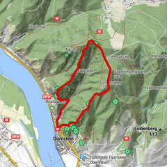
ZWalk - Rastenfeld - Der Mühlenweg in Rastenfeld

Escursionismo
© ZWalk.at
© ZWalk.at
© ZWalk.at
Dati percorsi
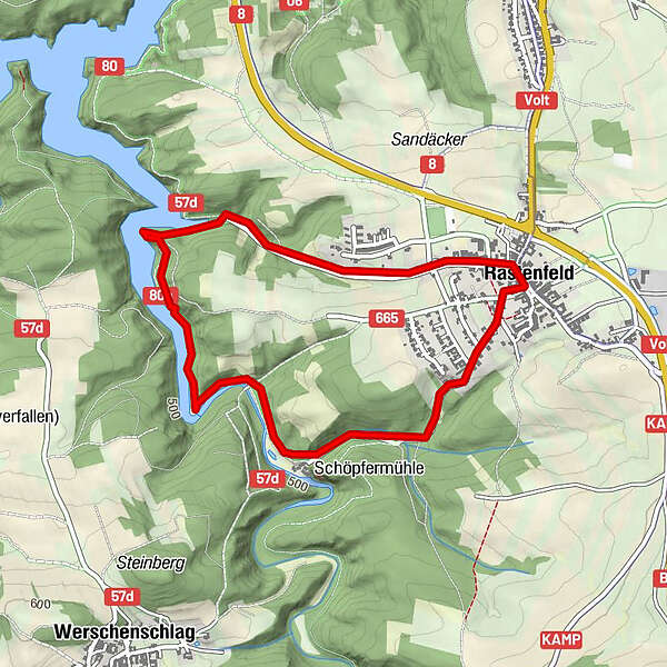
4,24km
494
- 574m
71hm
01:30h
- Descrizione rapida
-
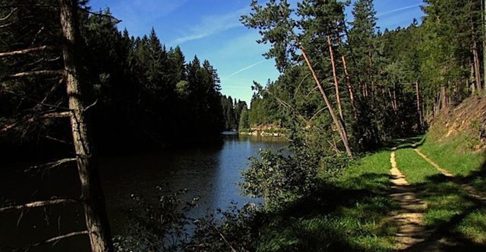
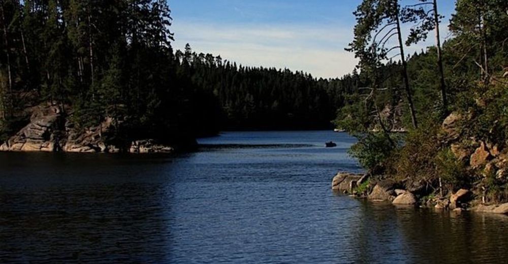
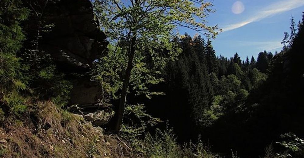
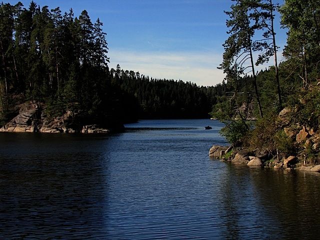
Die Tour führt durch eine typische, leicht hügelige Waldviertler Landschaft. Es geht durch Felder, Wiesen und Wälder, die sich ständig abwechseln.
- Difficoltà
-
facile
- Valutazione
-
- Punto di partenza
-
Rastenfeld
- Percorso
-
Rastenfeld4,2 km
- Punto più alto
- 574 m


- Fonte
- ZWalk
GPS Downloads


Condizioni dei sentieri
Asfalto
Ghiaia
Prato
Foresta
Roccia
Esposta
Altri tour nelle regioni
-
Waldviertel
1776
-
Waldviertel Mitte
1246
-
Rastenfeld
161