© Marton Sarkadi
© Marton Sarkadi
© Marton Sarkadi
© Marton Sarkadi
© Marton Sarkadi
Dati percorsi
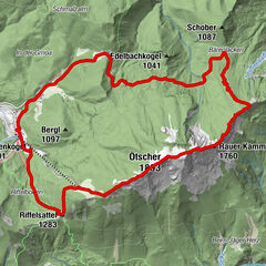
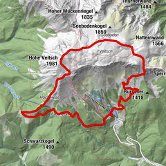
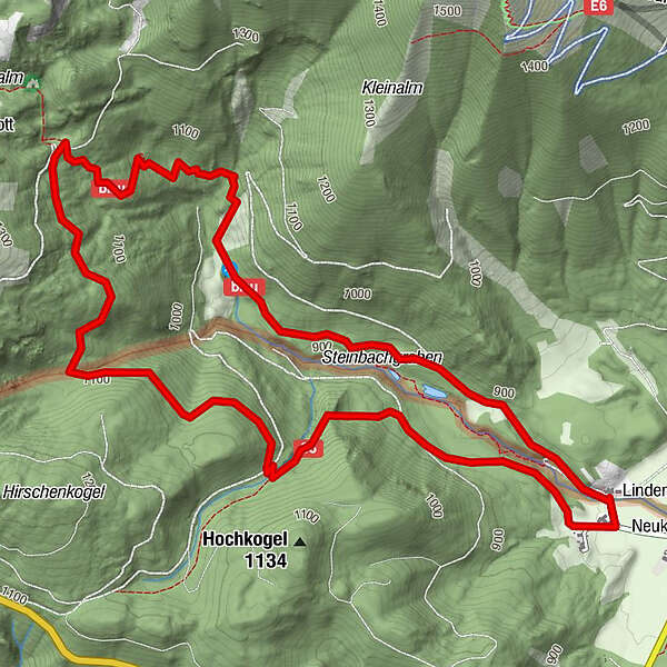
7,3km
838
- 1.190m
343hm
02:00h
- Descrizione rapida
-
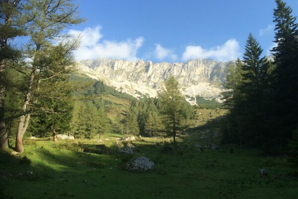
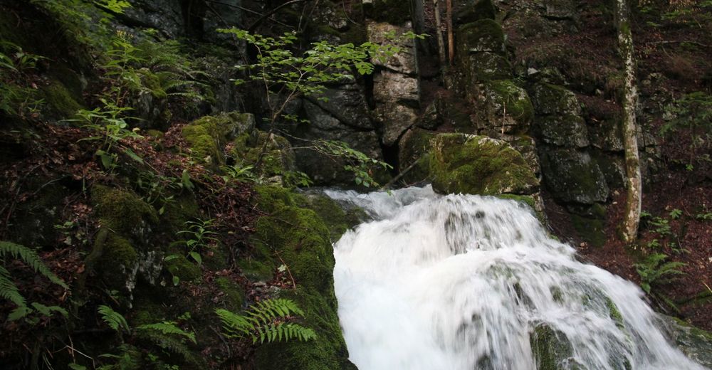
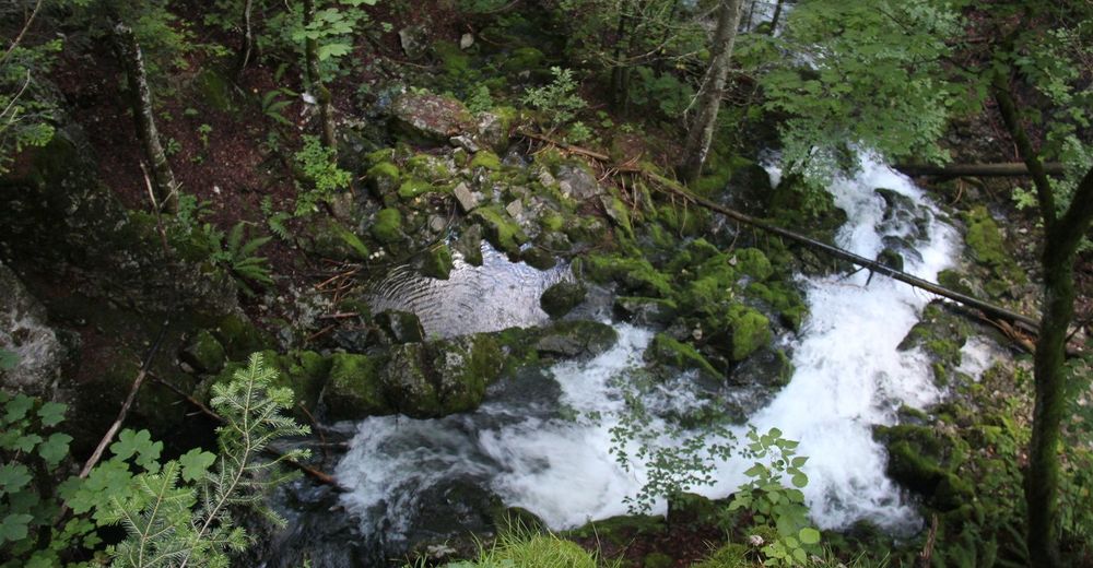
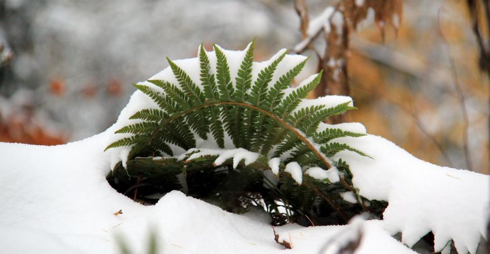
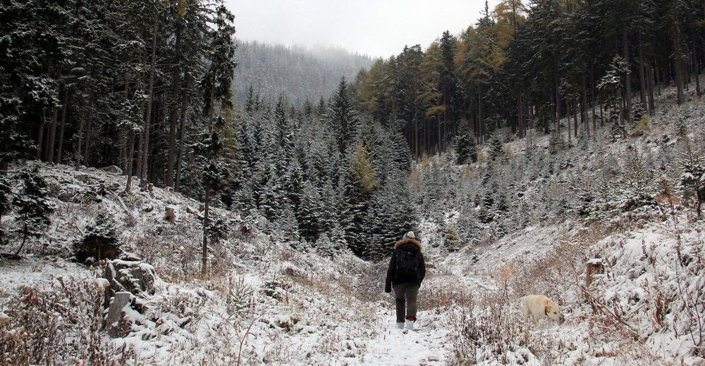
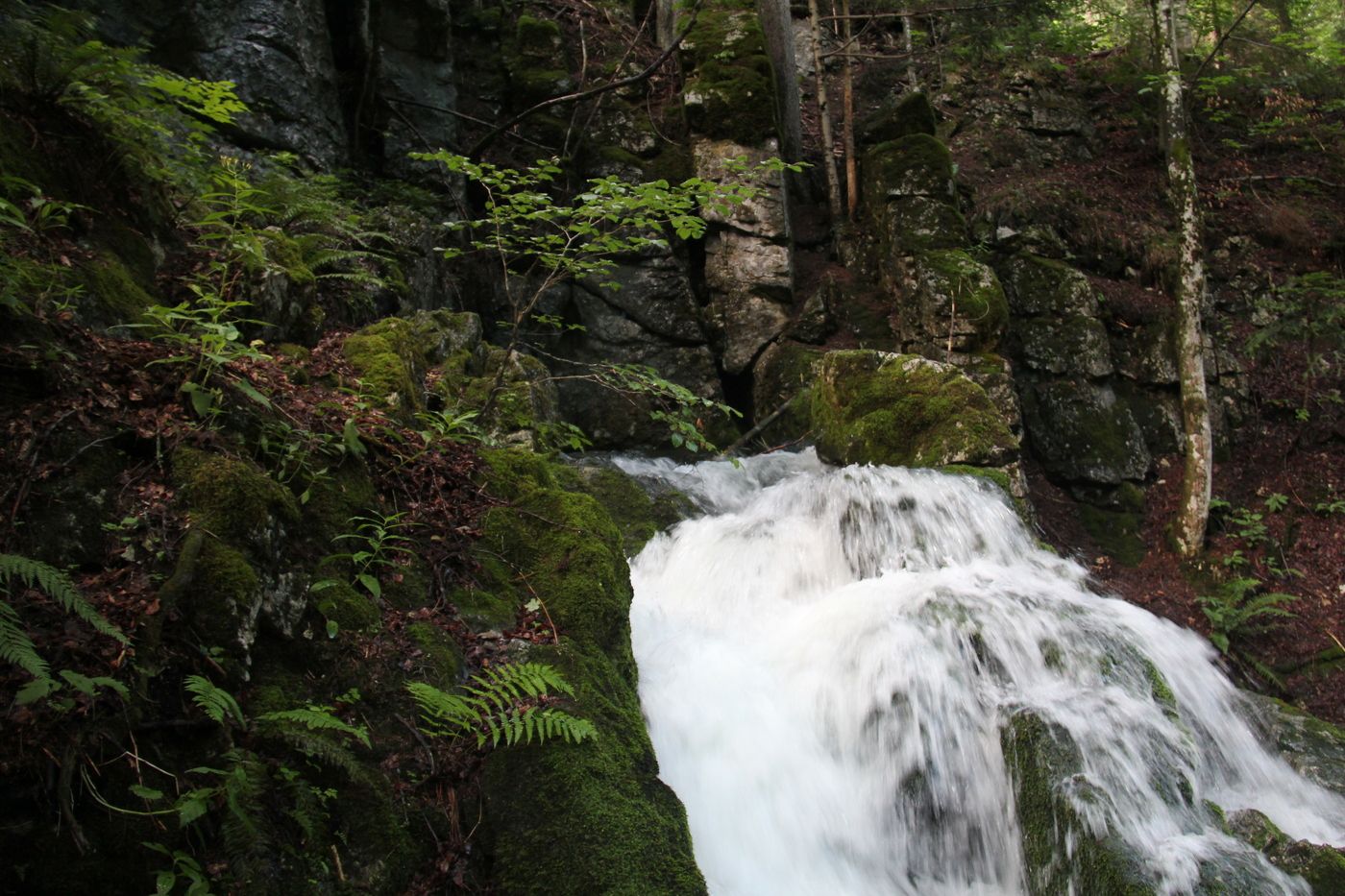
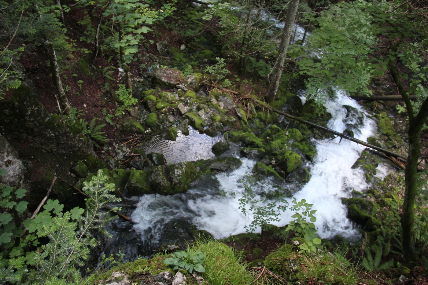
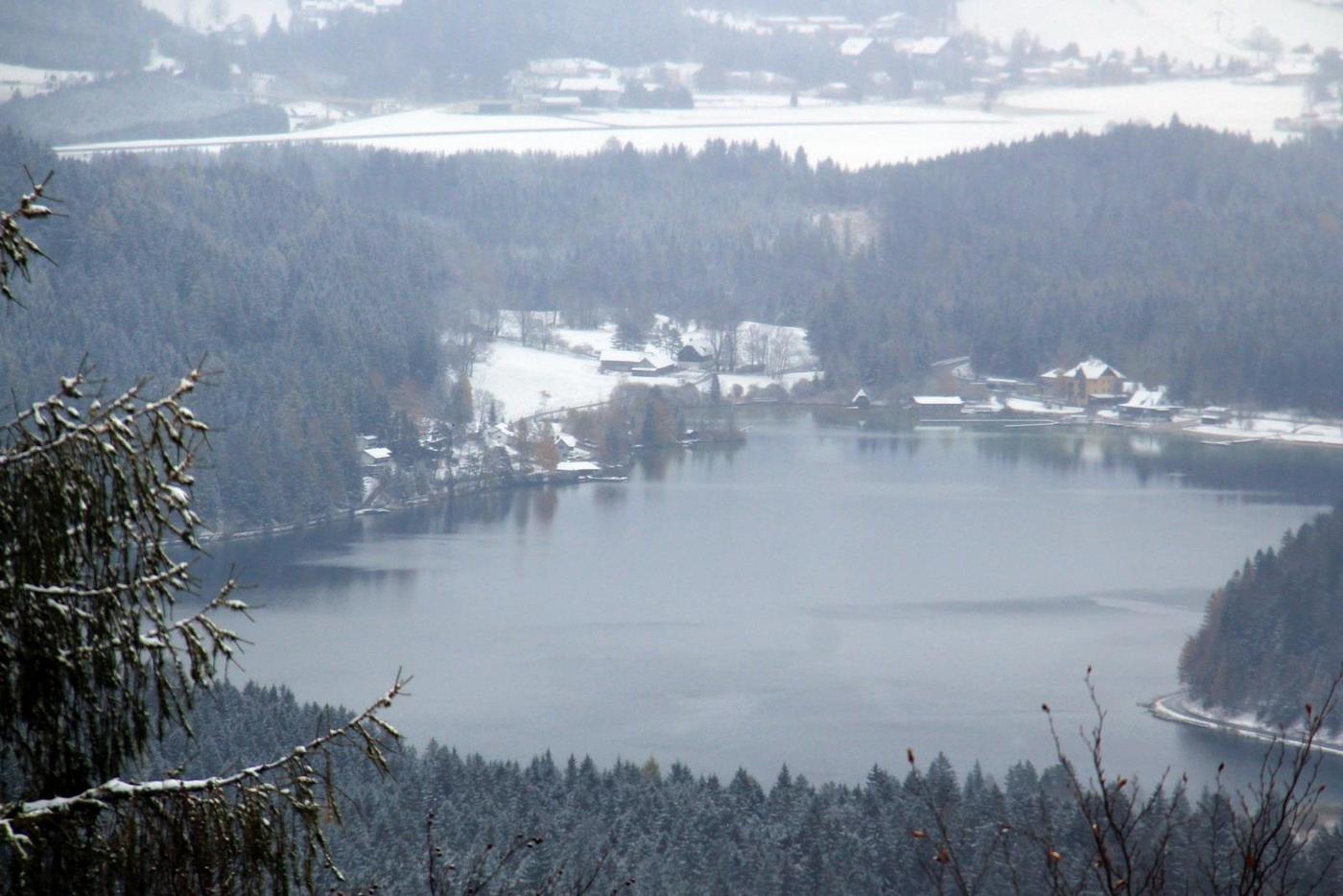
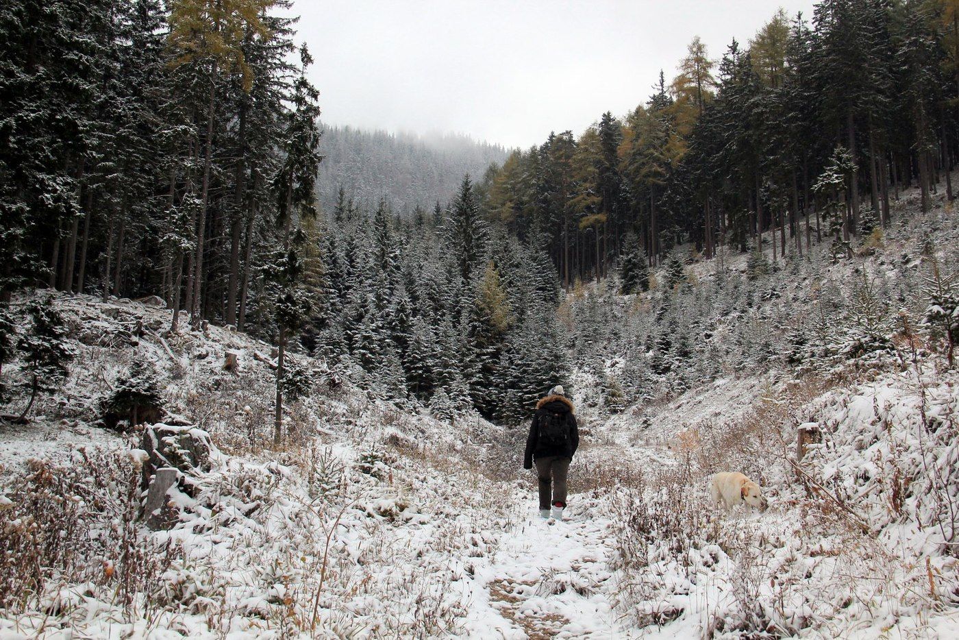
Nette kleine Wanderung, im Frühling bei Tauwetter oder nach viel Regen sieht man bei der Erlaufursprung wie das Wasser aus den Felsen bricht.
- Valutazione
-
- Percorso
-
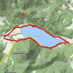
Erlaufursprung1,8 km
- La stagione migliore
-
genfebmaraprmaggiulugagosetottnovdic
- Punto più alto
- 1.190 m
- Fonte
- marec
GPS Downloads


Condizioni dei sentieri
Asfalto
Ghiaia
Prato
Foresta
Roccia
Esposta
Altri tour nelle regioni
-
Mostviertel
2454
-
Mariazellerland
1504
-
Gemeindealpe / Mitterbach am Erlaufsee
404