


Dati percorsi
7km
203
- 417m
338hm
338hm
02:30h
- Descrizione rapida
-
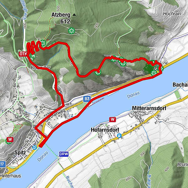
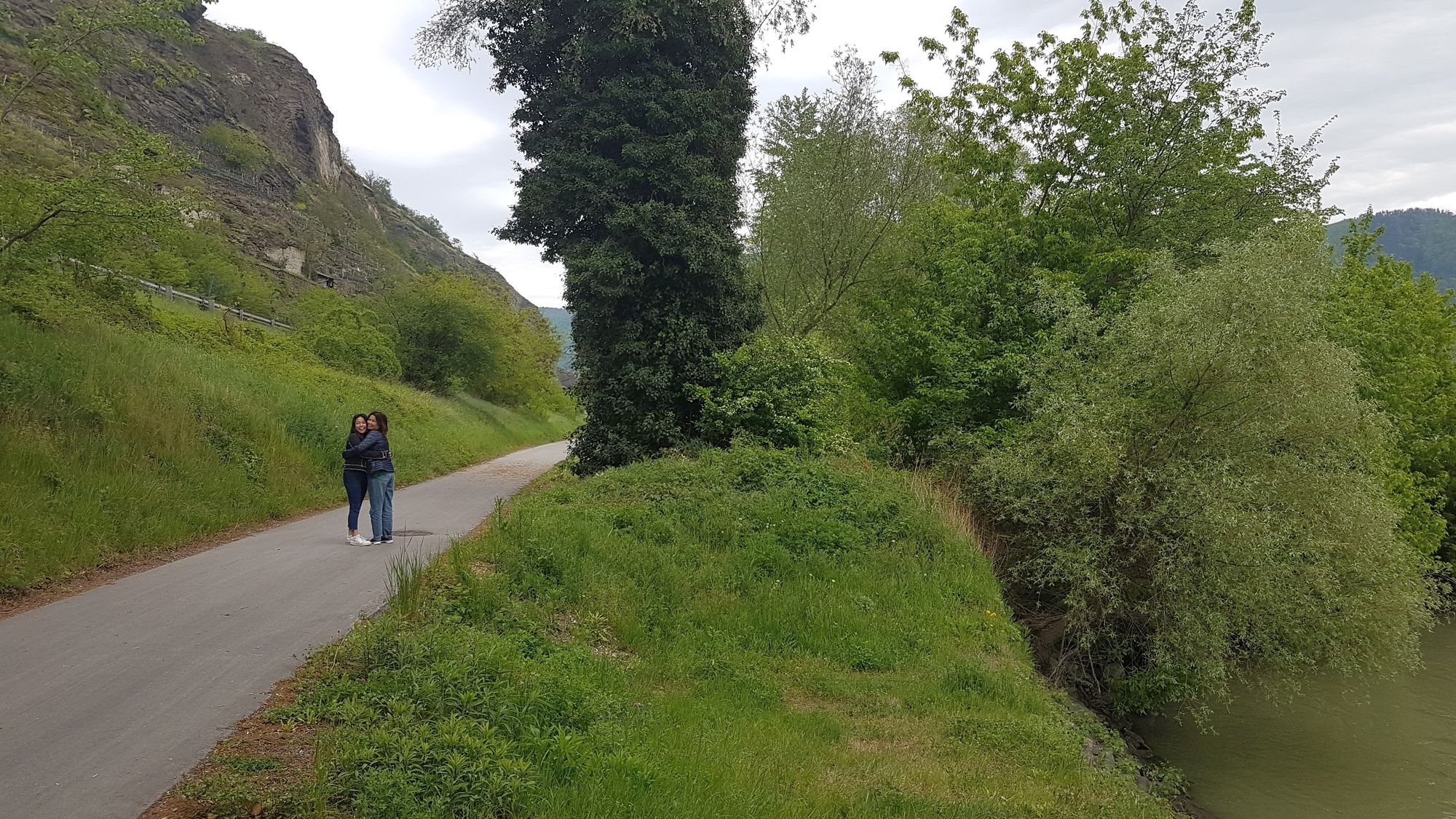
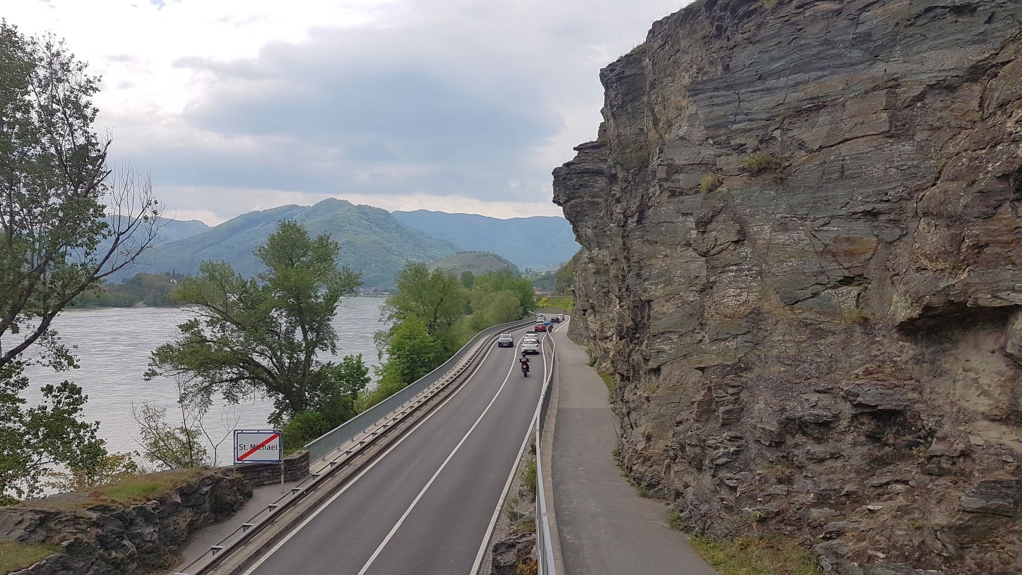
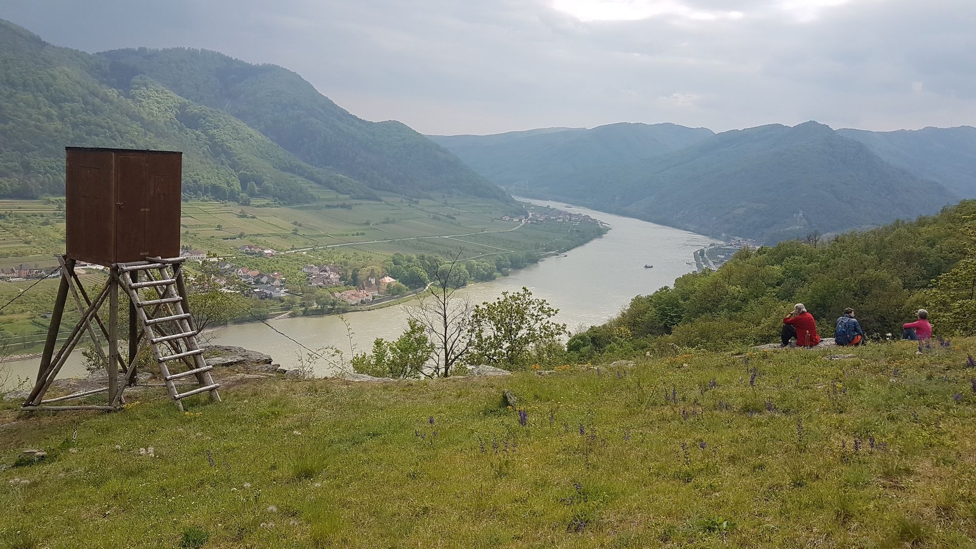
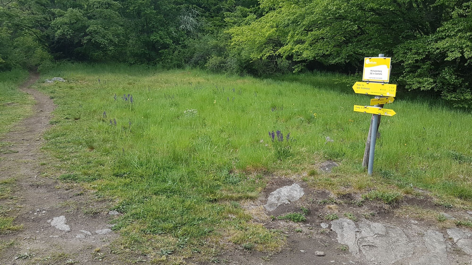
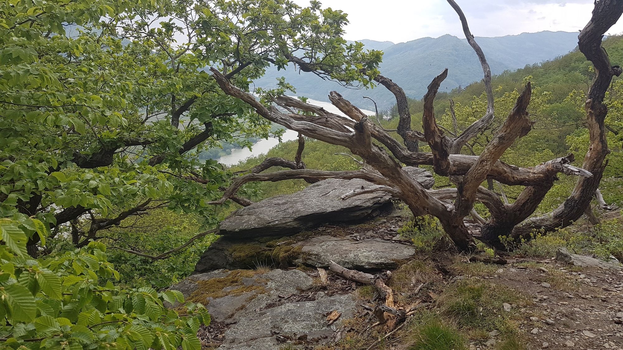
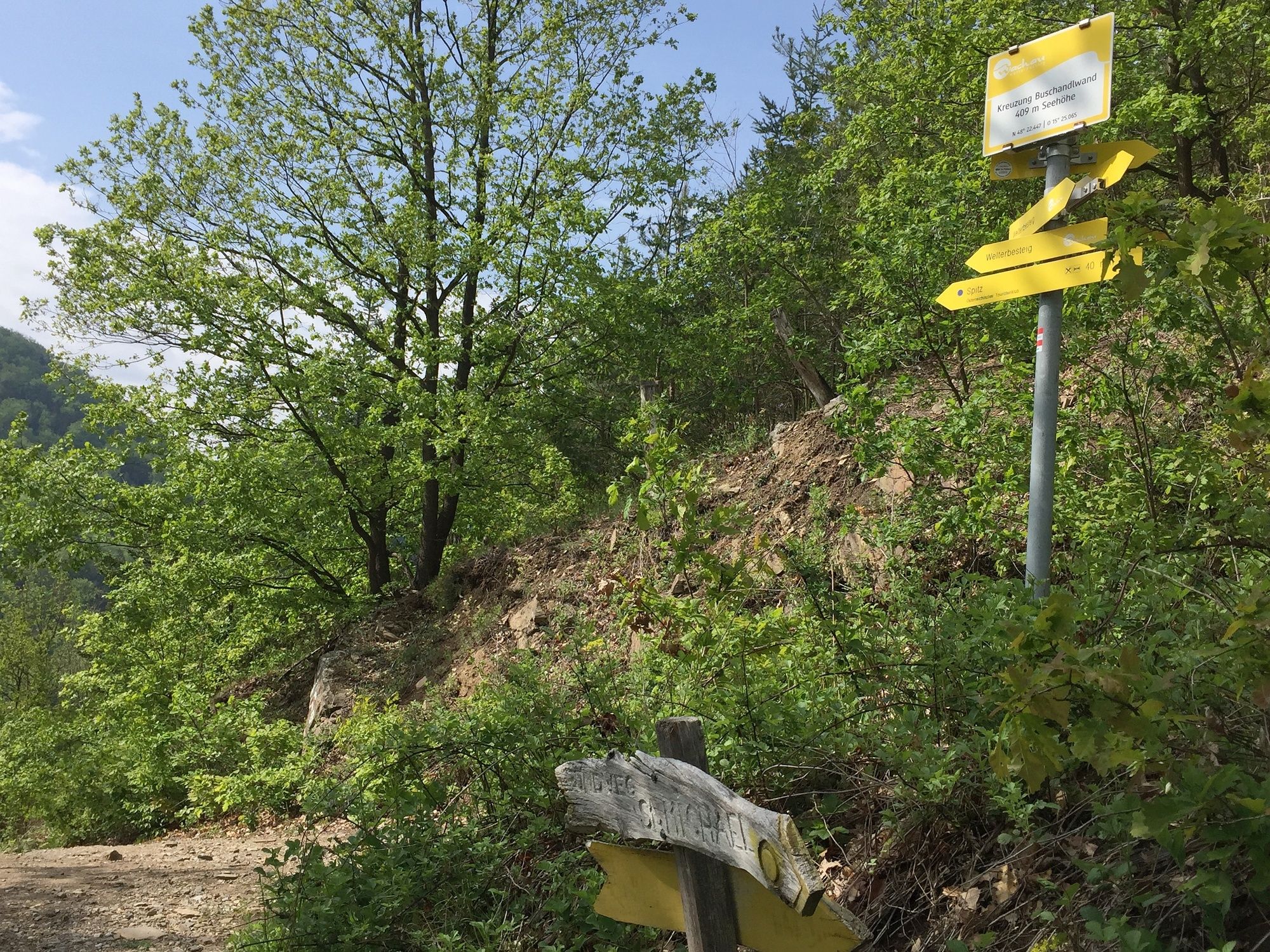
Pfad über den Michaelerberg zw. Spitz an der Donau und St. Michael.
- Difficoltà
-
intermedio
- Valutazione
-
- Punto di partenza
-
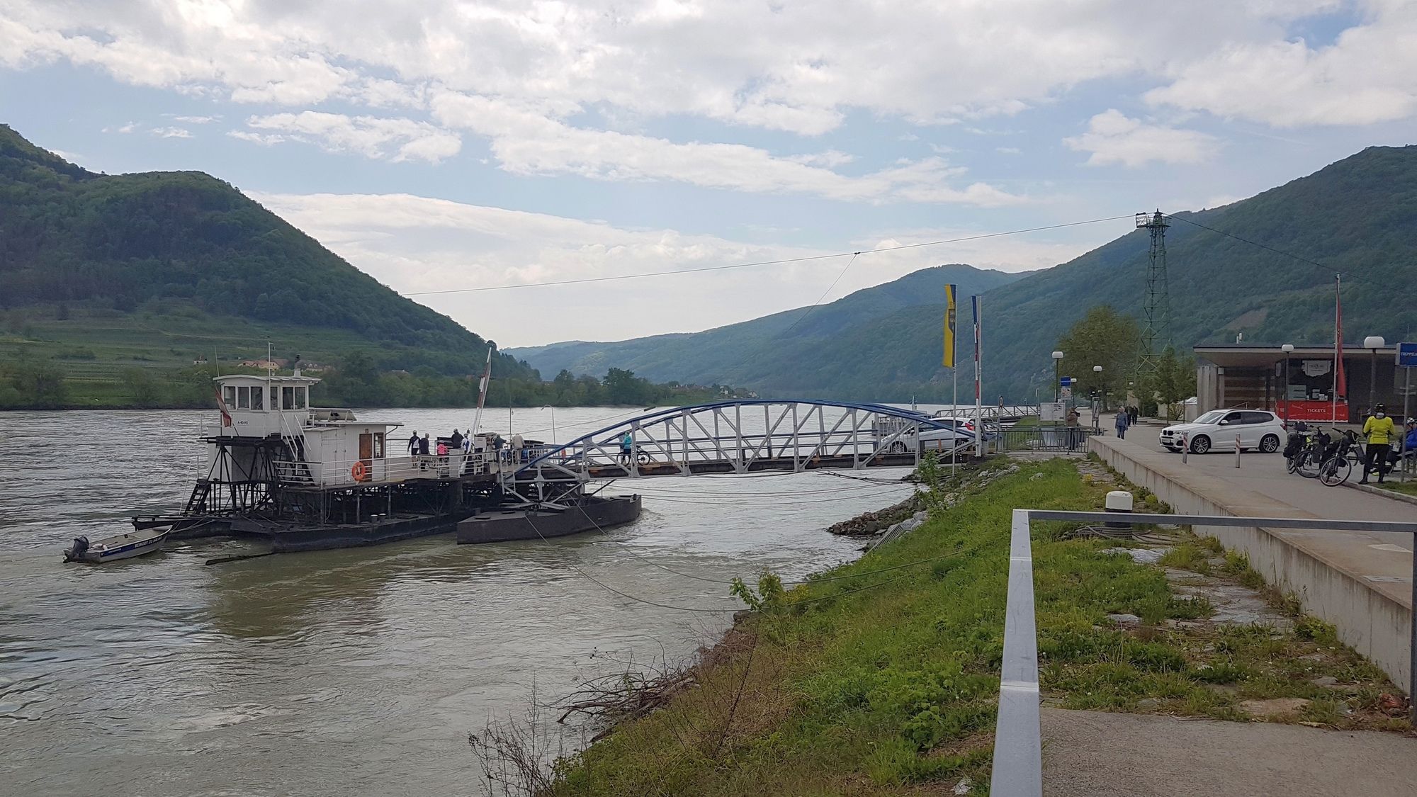
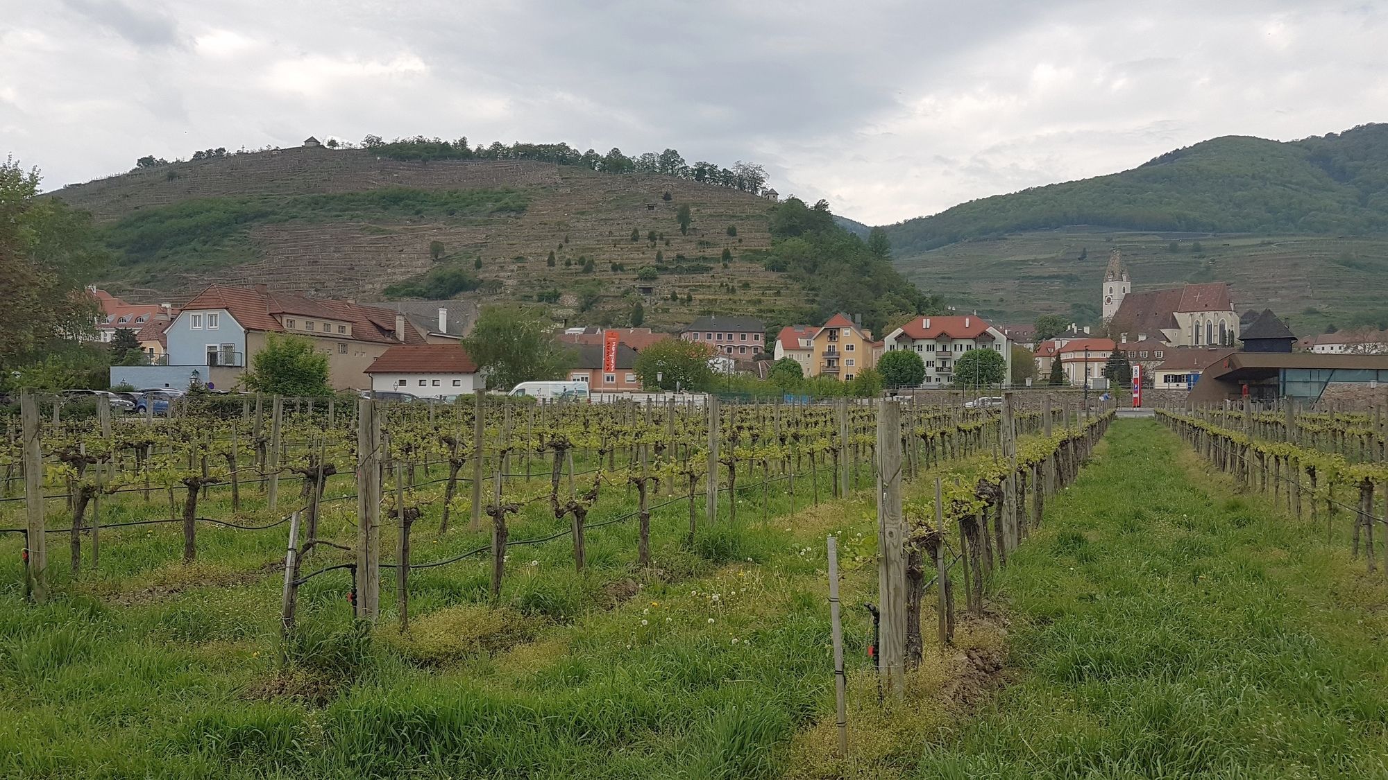
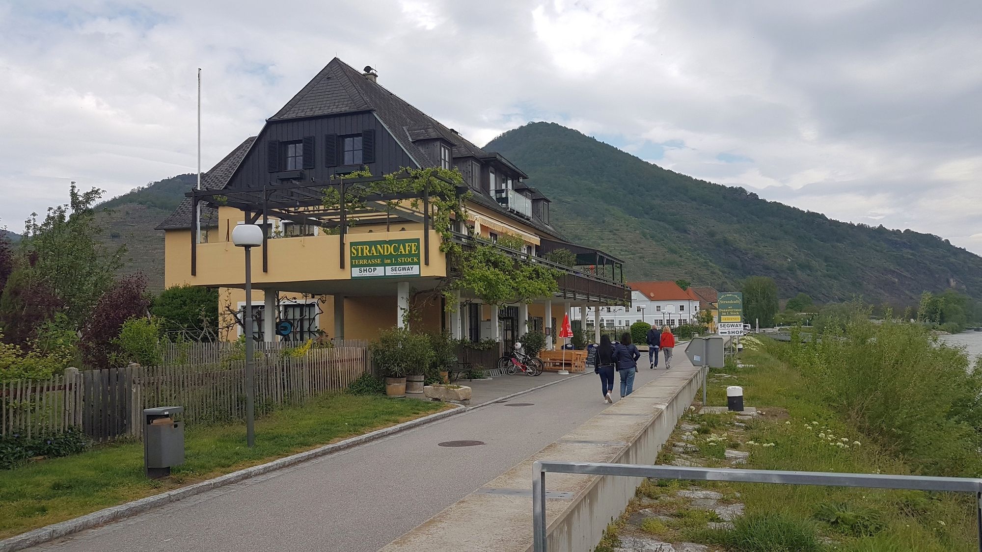
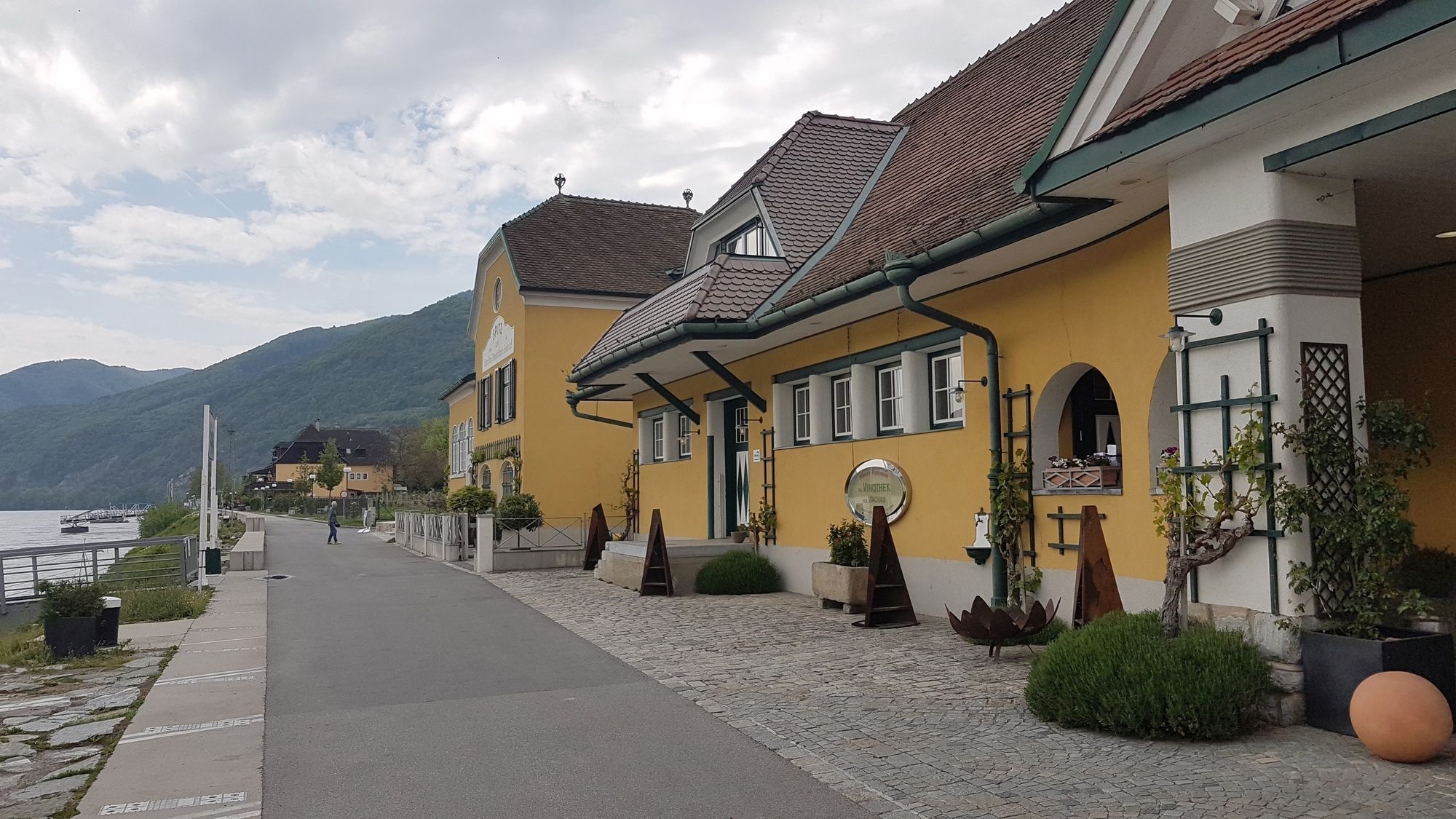
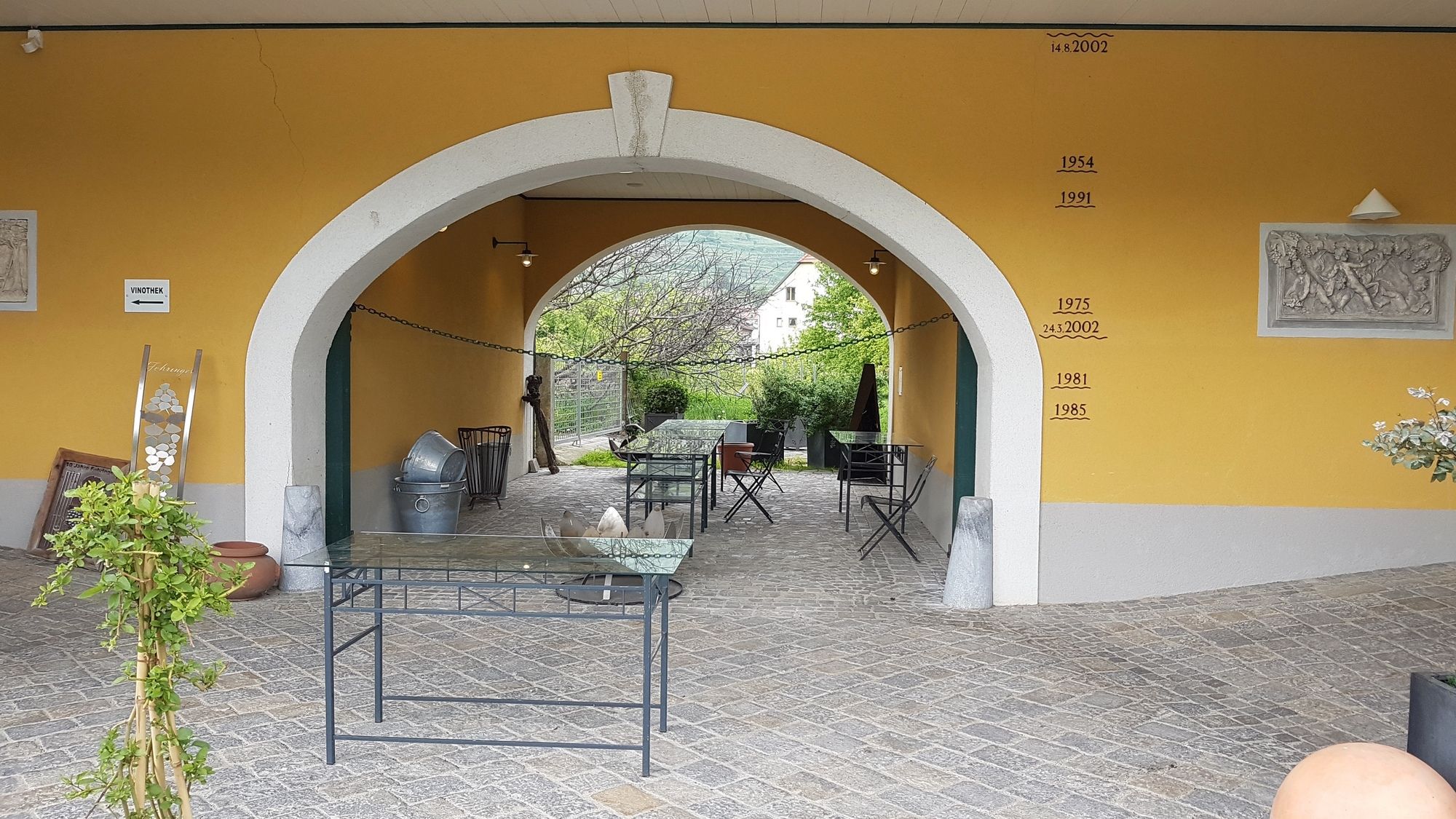
Spitz
- Percorso
-
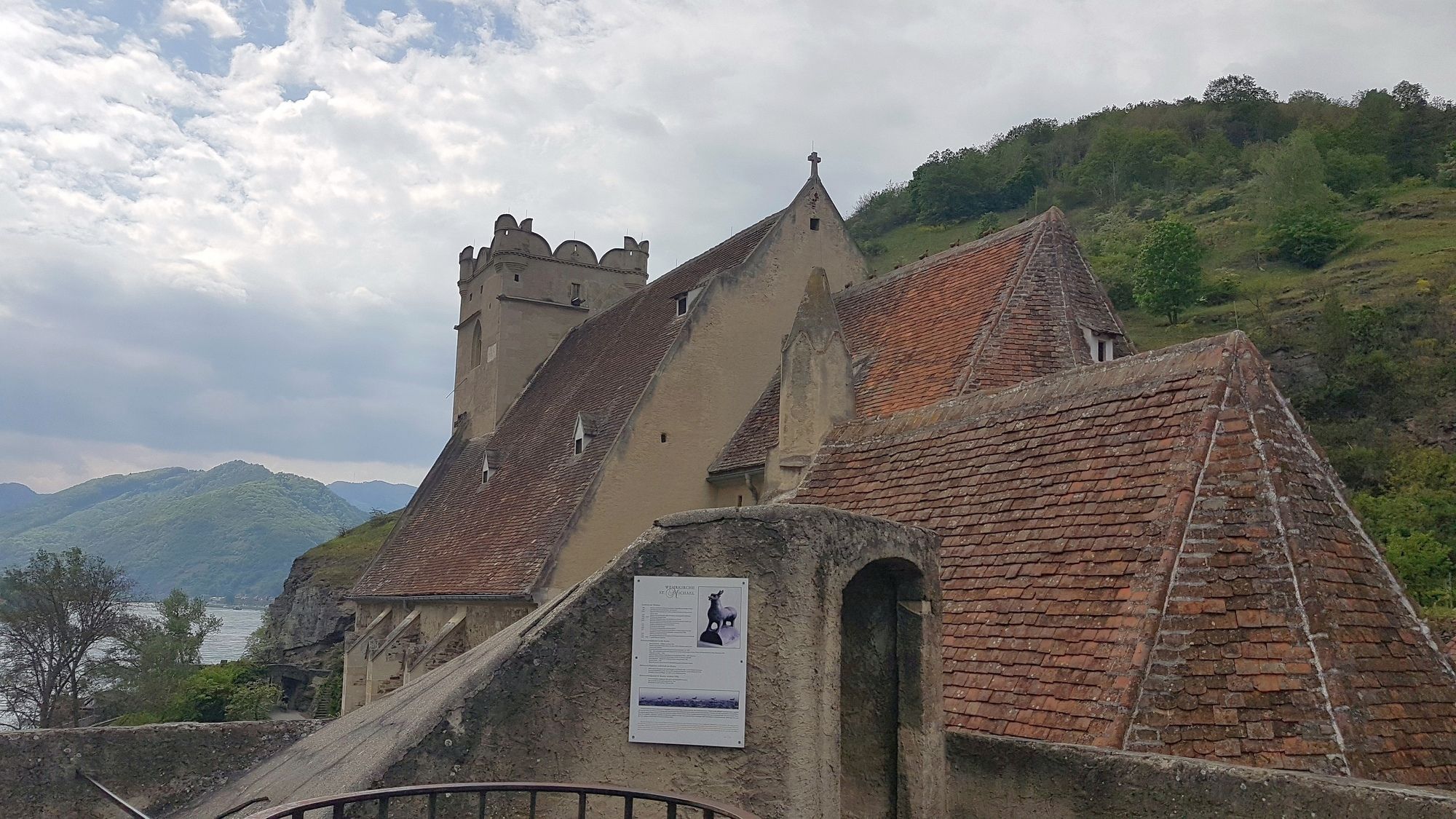
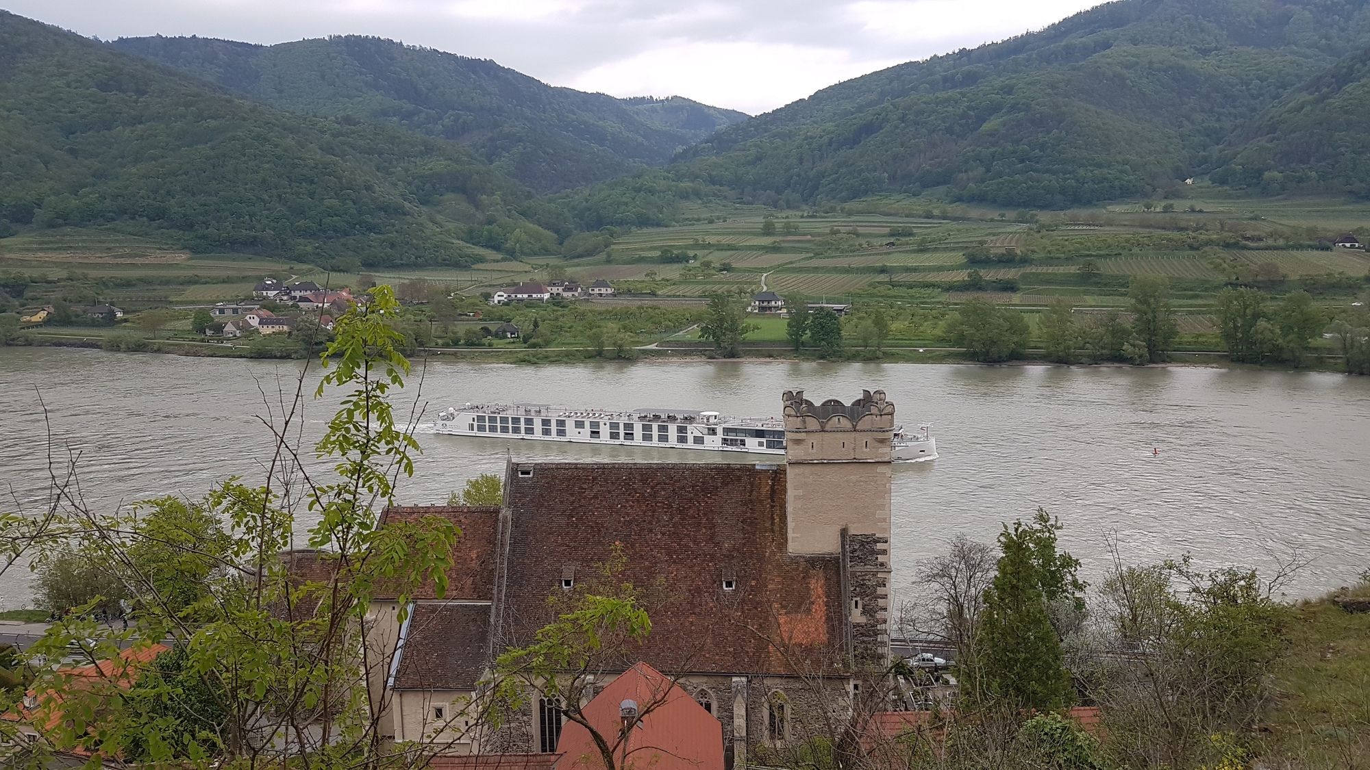
SpitzHofarnsdorf0,5 kmSankt Michael1,4 kmMitterarnsdorf1,5 kmBacharnsdorf1,8 kmWehrkirche St. Michael1,9 kmBergwerkstollen4,1 kmSchacht4,1 kmehem. Sondierstollen4,2 kmSpitz a.d. Donau6,5 kmSpitz6,9 km
- La stagione migliore
-
genfebmaraprmaggiulugagosetottnovdic
- Punto più alto
- Michaelerberg (417 m)
- Destinazione
-
St. Michael bzw. Michaelerberg
- Riposo/Ritiro
-
Weinschenke in St. Michael und Strandcafé in Spitz, sowie viele weitere Lokale in diesen Orten.
GPS Downloads


Condizioni dei sentieri
Asfalto
Ghiaia
Prato
Foresta
Roccia
Esposta
Altri tour nelle regioni
-
Donau Niederösterreich
2289
-
Dunkelsteinerwald
1372
-
Spitz an der Donau
605


