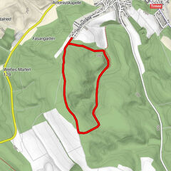
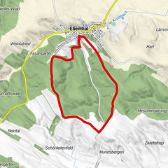
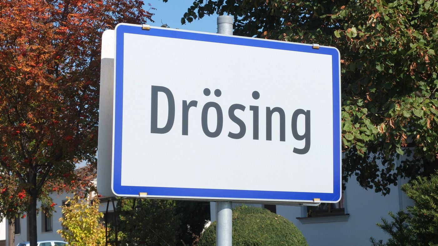
Rundwanderung Drösing - Sand und Simperlburg

Escursionismo

© W. Pöchgraber

© W. Pöchgraber

© W. Pöchgraber

© W. Pöchgraber

© W. Pöchgraber

© W. Pöchgraber

© W. Pöchgraber

© W. Pöchgraber

© W. Pöchgraber

© W. Pöchgraber
Dati percorsi
10,1km
150
- 158m
8hm
02:00h

- Descrizione rapida
-
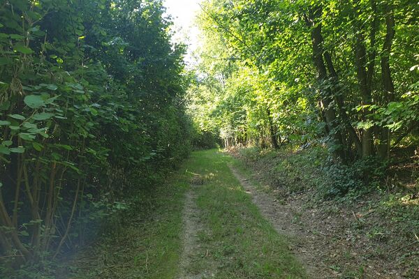
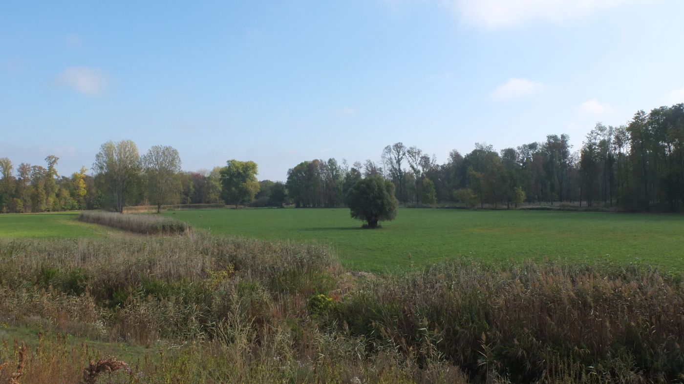
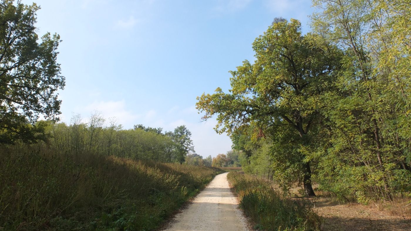
Kurze, unbeschwerliche Wanderung in den Marchauen bei Drösing
- Valutazione
-
- Punto di partenza
-
Ausgangs- und zugleich Endpunkt der Rundwanderung ist das Gemeindeamt von Drösing. Für Benutzer öffentlicher Verkehrsmittel ist es der Bahnhof von Drösing.
- Percorso
-
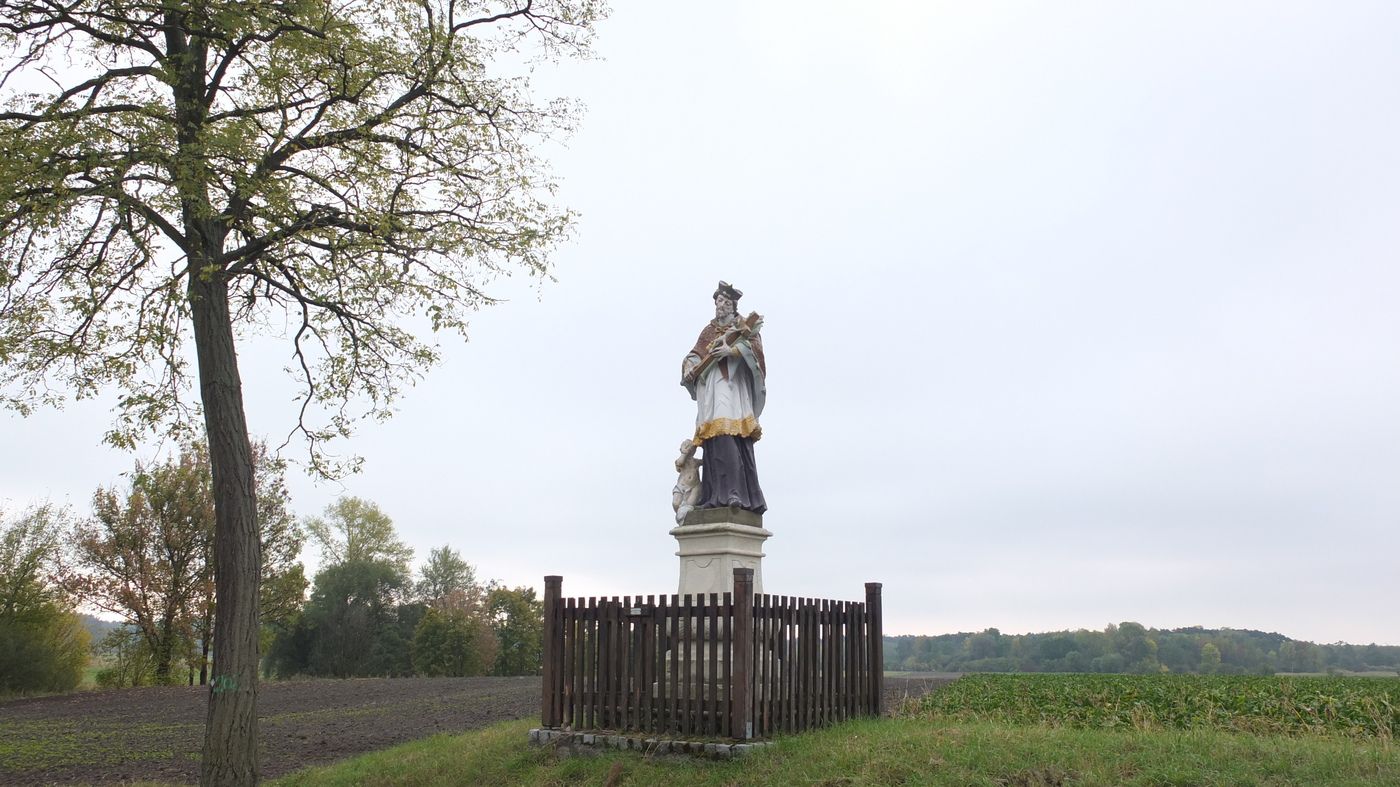
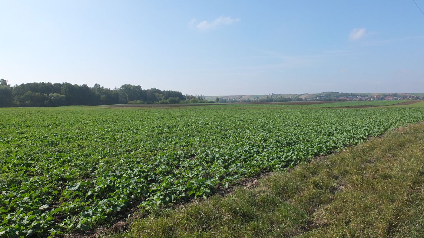
St. Laurentius0,0 kmDrösing0,0 kmSimperlberg (153 m)3,4 kmKühweid Wiesen4,2 kmKleine Zaya5,9 kmUnteres inneres Feld8,4 kmDrösing9,5 kmSt. Laurentius10,0 km
- La stagione migliore
-
genfebmaraprmaggiulugagosetottnovdic
- Punto più alto
- 158 m
- Destinazione
-
Wie Ausgangspunkt.
- Riposo/Ritiro
-
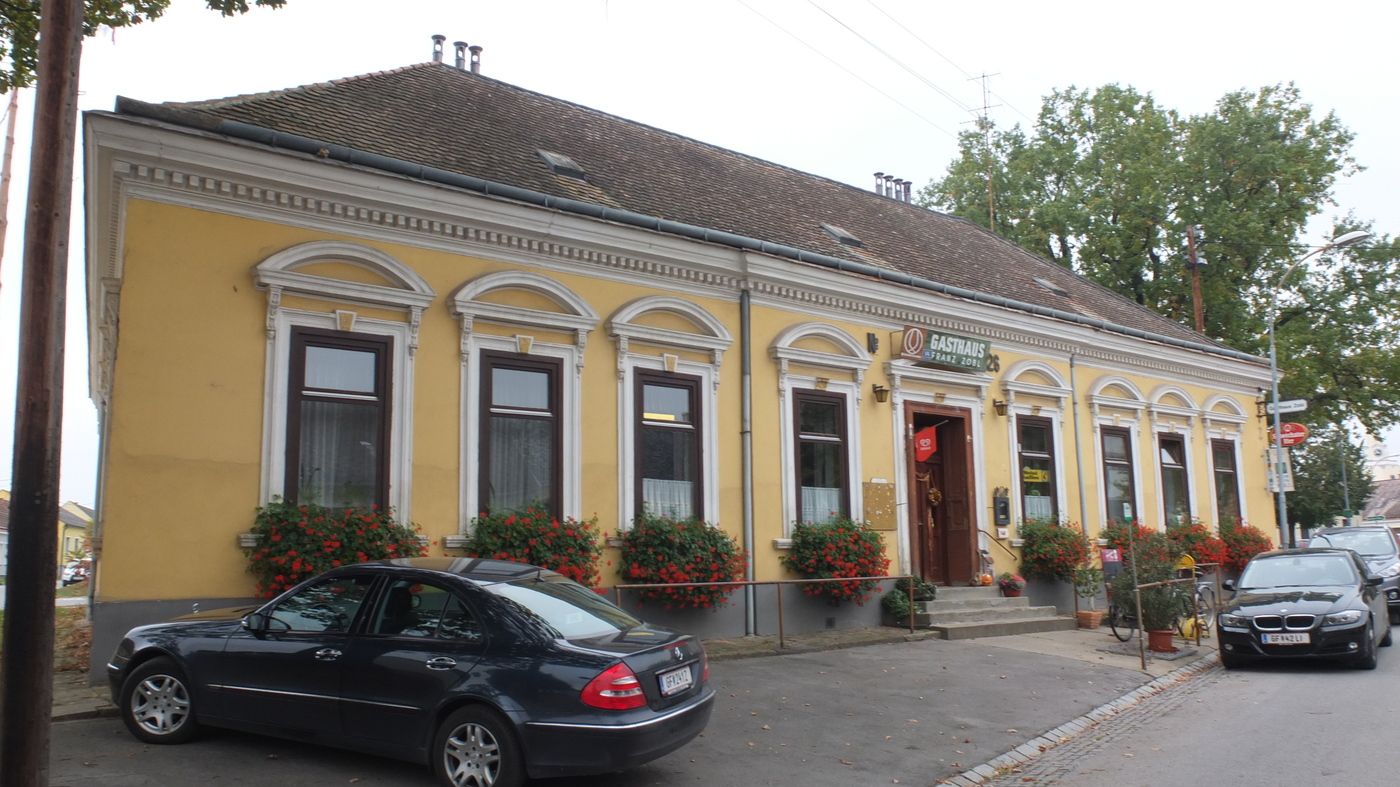
Keine Einkehrmöglichkeit auf der Route. Gasthaus Zobel in Drösing nahe des Gemeindeamts bietet sich als Abschluss zur Einkehr an.
- Cartine
-
Bundesamtskarte 1:25.000 oder 1:50.000, Blatt 26 (Hohenau)


- Fonte
- W. Pöchgraber
GPS Downloads


Condizioni dei sentieri
Asfalto
Ghiaia
Prato
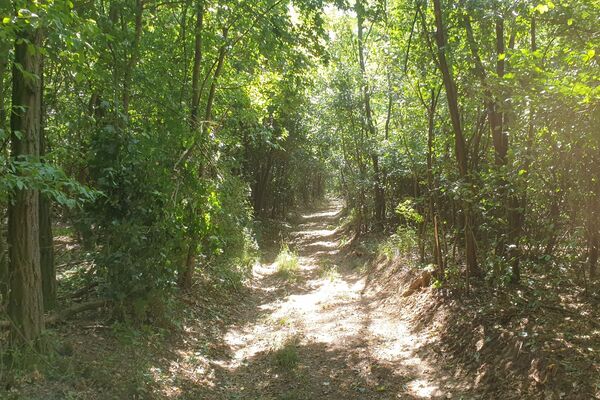
Foresta
Roccia
Esposta
Altri tour nelle regioni
-
March - Thaya - Auen
118
-
Drösing
14