Vom Preintal auf den Gippel (1.669 m) - Niederösterreich

Escursionismo


Dati percorsi
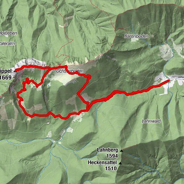
15,88km
759
- 1.665m
1.055hm
1.069hm
06:22h
- Descrizione rapida
-
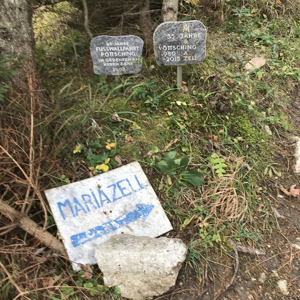
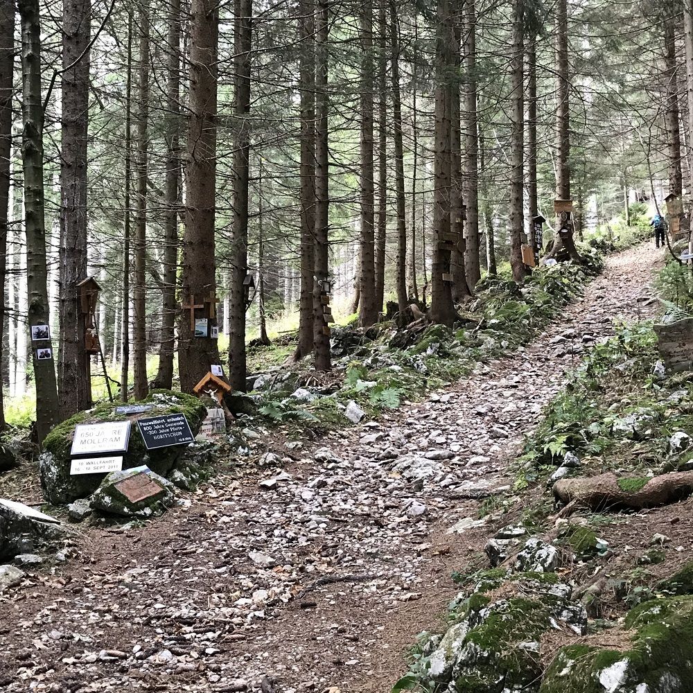
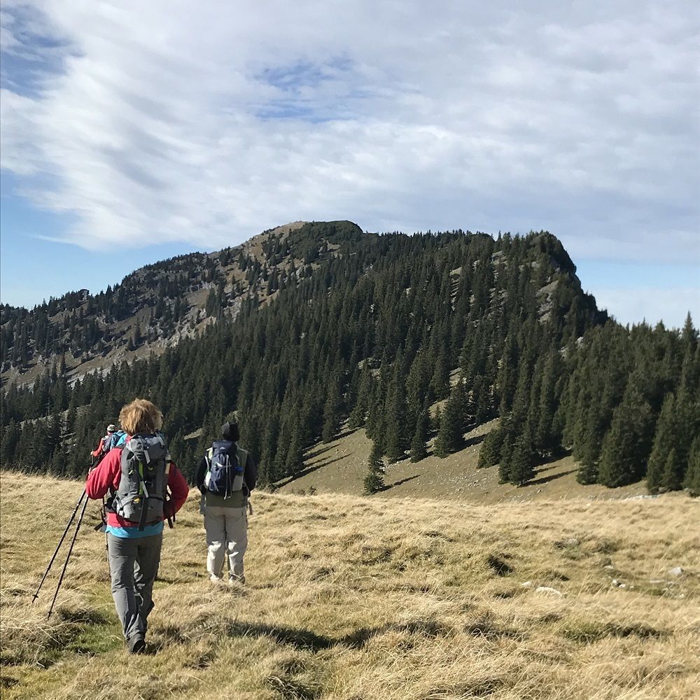
Preintal - Gscheidl - Ochsenboden - Gippel - Gippelalm - Gscheidl - Preintal
- Difficoltà
-
intermedio
- Valutazione
-
- Percorso
-
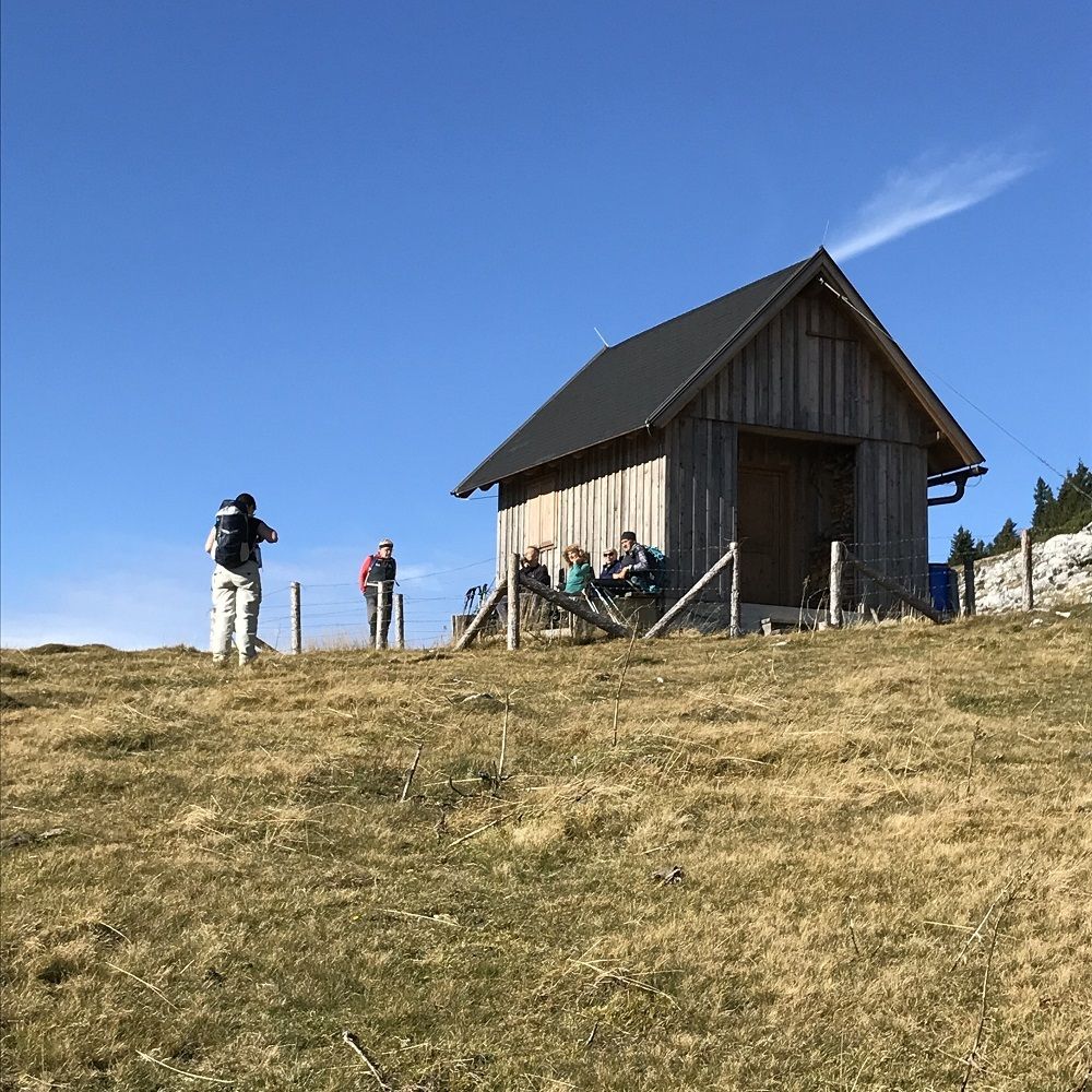
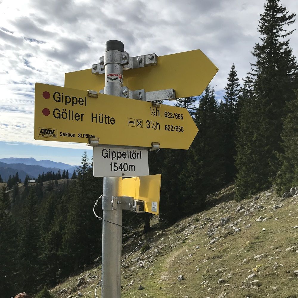
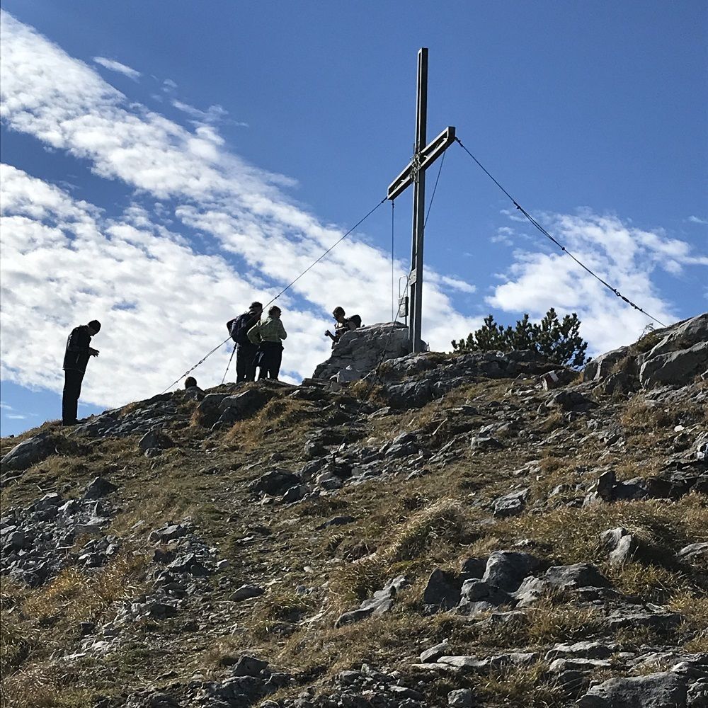
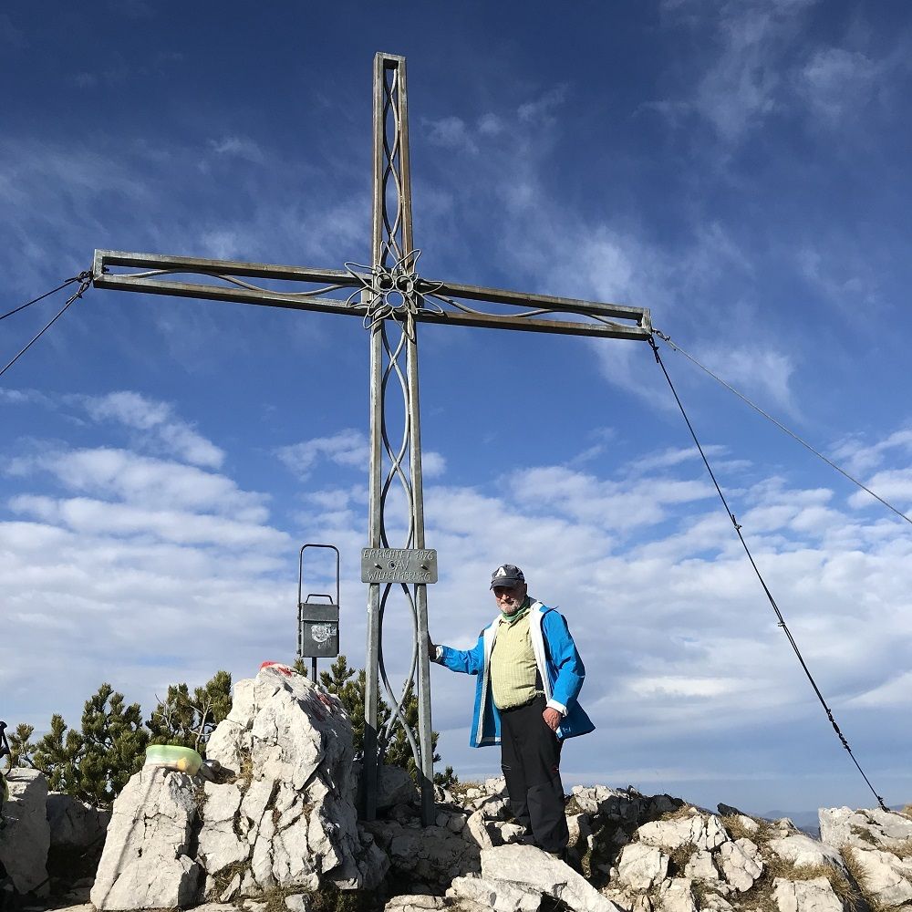
Ochsenboden5,2 kmGippel (1.669 m)7,0 kmGippeltörl (1.533 m)8,1 kmGippelhütte (1.499 m)8,8 kmHalterloch9,5 kmGippelalmhöhle9,6 km
- La stagione migliore
-
genfebmaraprmaggiulugagosetottnovdic
- Punto più alto
- 1.665 m
- Riposo/Ritiro
-
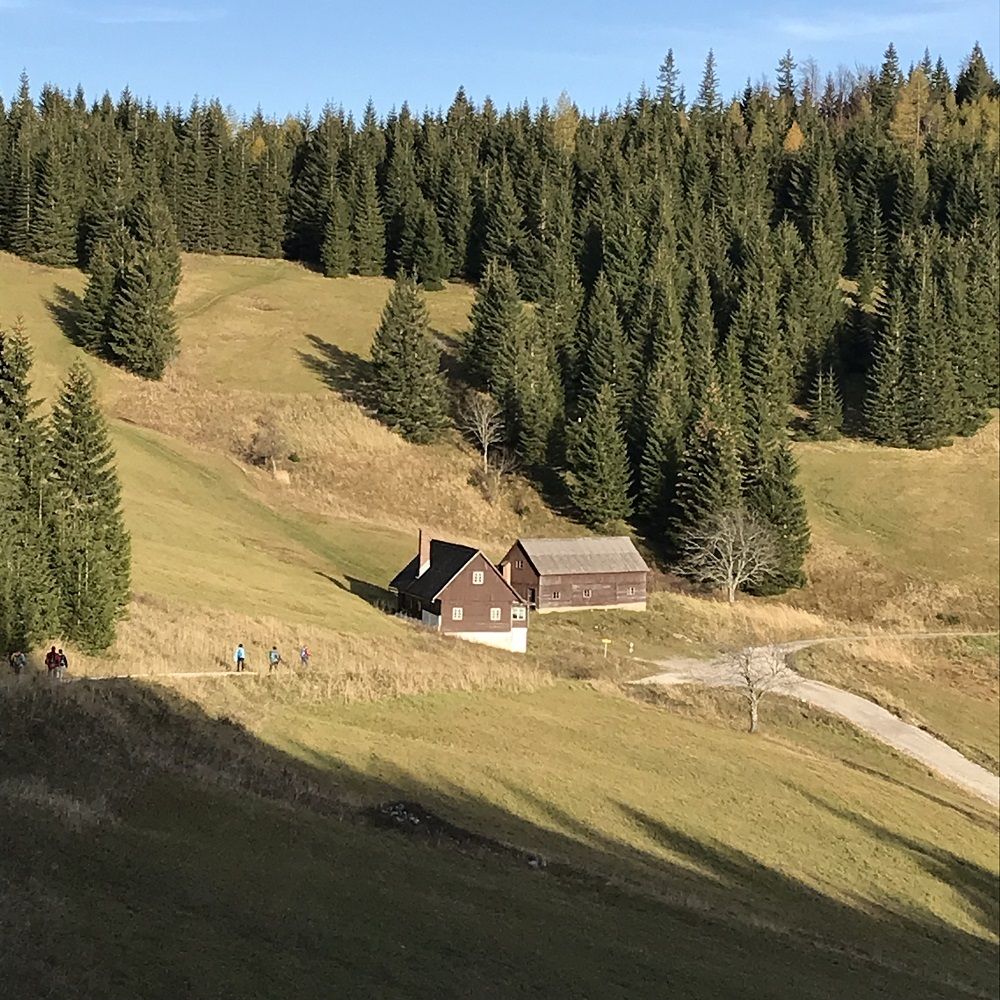
Auf der Gippelalm während des Almbetriebs


- Fonte
- Franz ANGELO Gruber
GPS Downloads


Condizioni dei sentieri
Asfalto
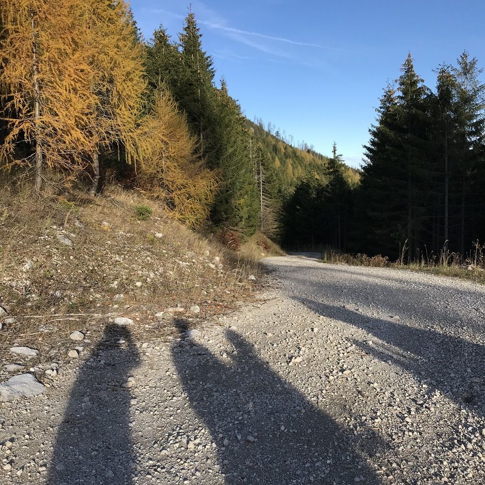
Ghiaia
Prato
Foresta
Roccia
Esposta
Altri tour nelle regioni
-
Hochsteiermark
4076
-
Naturpark Mürzer Oberland
1934
-
St. Aegyd am Neuwalde
287


