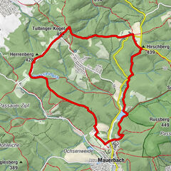
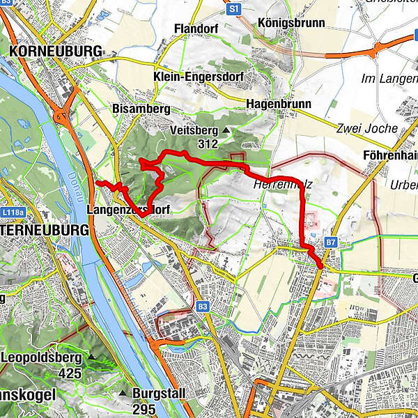
Von Stammersdorf auf den Bisamberg

Escursionismo
Mappa
Nascondere mappa
Stampa

Quale problema vorresti segnalare per il tour?

Dati percorsi
10,9km
164 - 353m
Distanz
204hm
199hm
L'ascesa
06:00h
 
Durata
GPS Downloads
  • GPX GPS Exchange Format (XML)
  • KML Google Earth, Google Maps
Codici di download QR per telefoni cellulari

Condizioni dei sentieri

Asfalto
Ghiaia
Prato
Foresta
Roccia
Esposta
Altri tour nelle regioni

Tour popolari della zona

Stadtwanderweg 7 - Laaer Berg / lt. Beschilderung

facile Escursionismo
14,19km | 83hm | 03:25h

Hagenbachklamm

facile Escursionismo
3,37km | 38hm | 02:30h

Mauerbach - Tulbinger Kogel

facile Escursionismo
12,1km | 288hm | 04:00h

Hermannskogel mit Habsburger Warte und Agnesbrünnl

facile Escursionismo
4,51km | 164hm | 01:45h