- Descrizione rapida
-
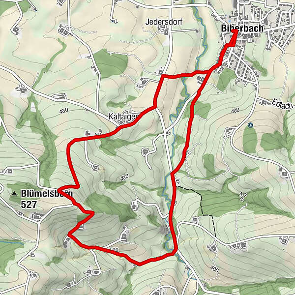
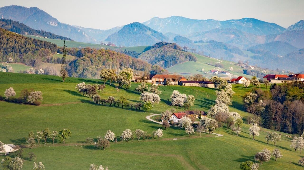
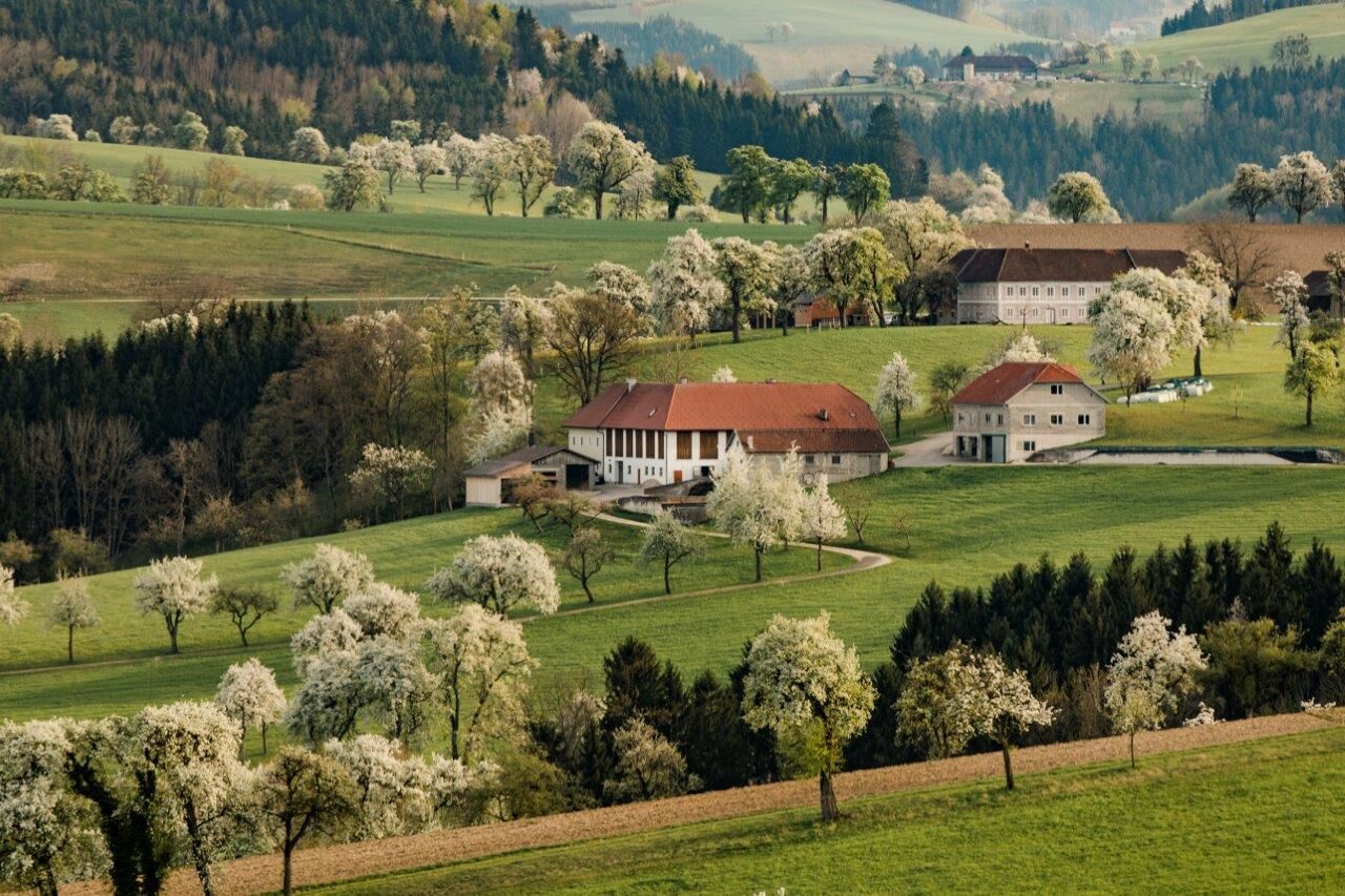
The 7.3 km long trail leads to a viewpoint in Biberbach, from which a beautiful view on the Alps can be seen. This trail is recommended especially in the blossoming season at the end of April.
- Difficoltà
-
facile
- Valutazione
-
- Percorso
-
Gasthaus Kappl0,0 kmBiberbach0,0 kmGasthof Fischer0,1 kmKaltaigen4,7 kmGasthof Fischer6,4 kmGasthaus Kappl6,4 kmBiberbach6,4 km
- La stagione migliore
-
genfebmaraprmaggiulugagosetottnovdic
- Punto più alto
- 495 m
- Destinazione
-
Biberbach
- Profilo altimetrico
-


- Autore
-
Il tour Karl-Lammerhuber-Blick-Weg è utilizzato da outdooractive.com fornito.
GPS Downloads


Info generali
Punto di ristoro
Promettente
Altri tour nelle regioni
-
Traunviertel
1940
-
Moststraße
754
-
Biberbach
190