© Heigl

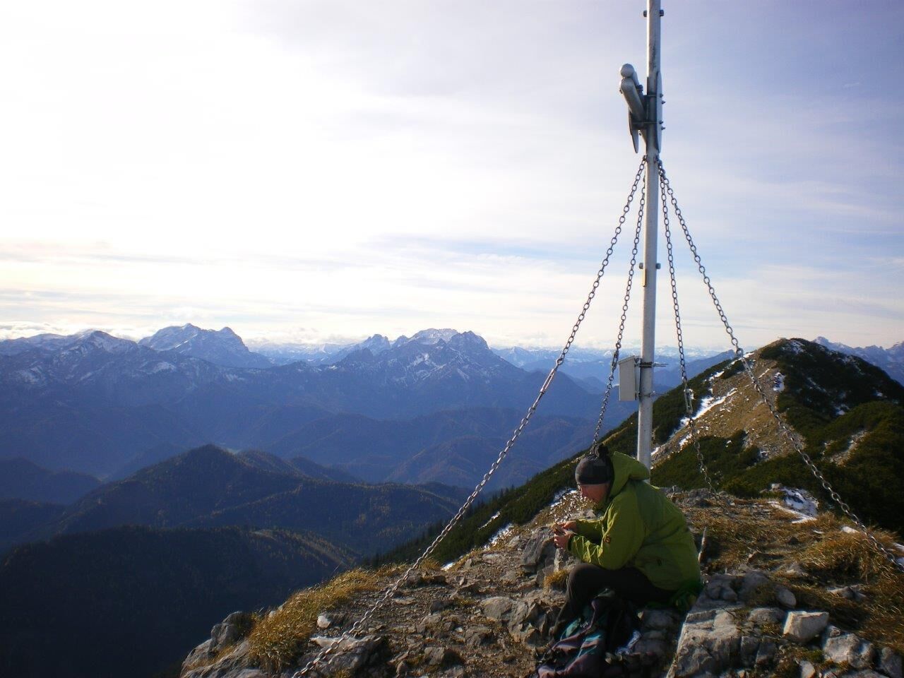
© Heigl

© Heigl
- Descrizione rapida
-
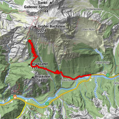
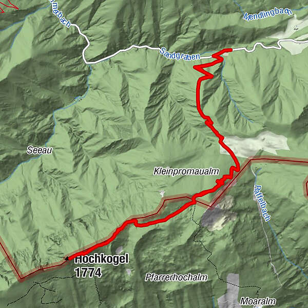
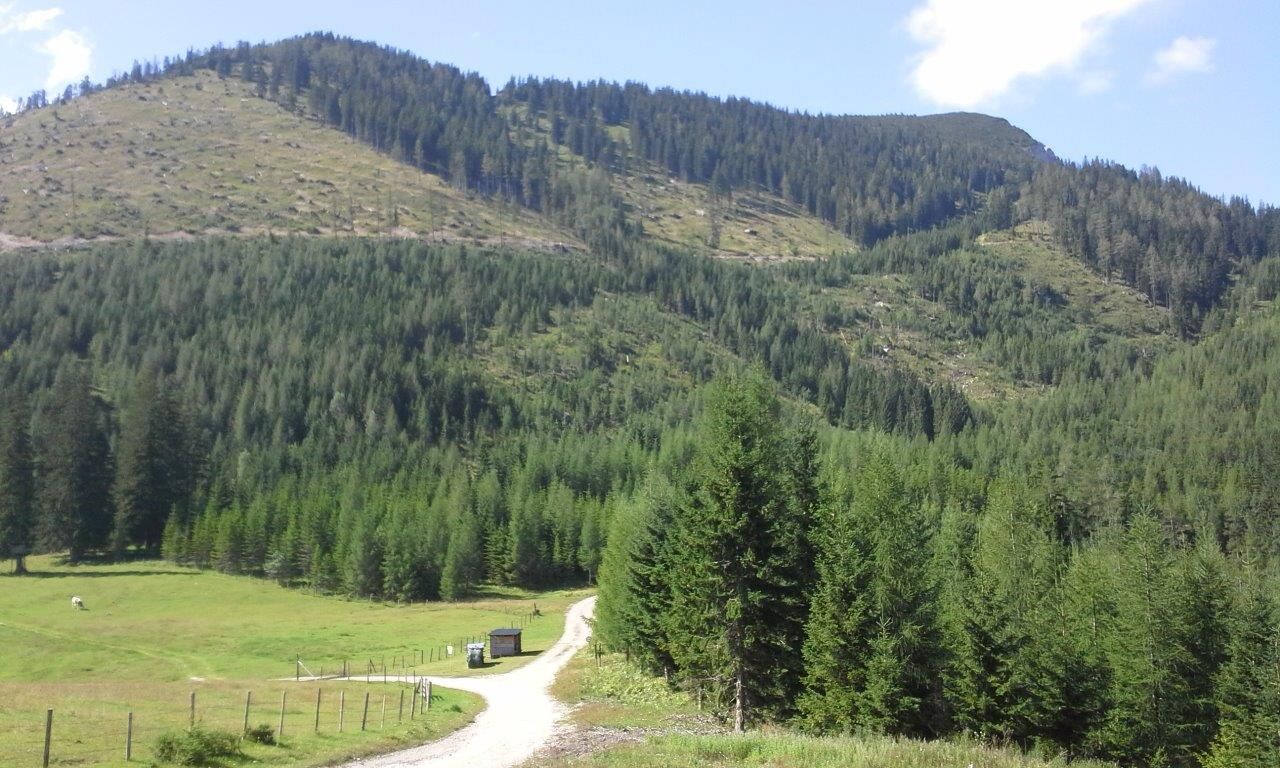
Schöne Bergtour entlang der niederösterreichisch-steirischen Grenze: vom Sandgraben bis zum höchsten Punkt des Gamssteins (dem Hochkogel) auf 1770 Metern Seehöhe.
- Difficoltà
-
intermedio
- Valutazione
-
- Percorso
-
Hochkogel (1.774 m)7,6 km
- La stagione migliore
-
genfebmaraprmaggiulugagosetottnovdic
- Punto più alto
- 1.756 m
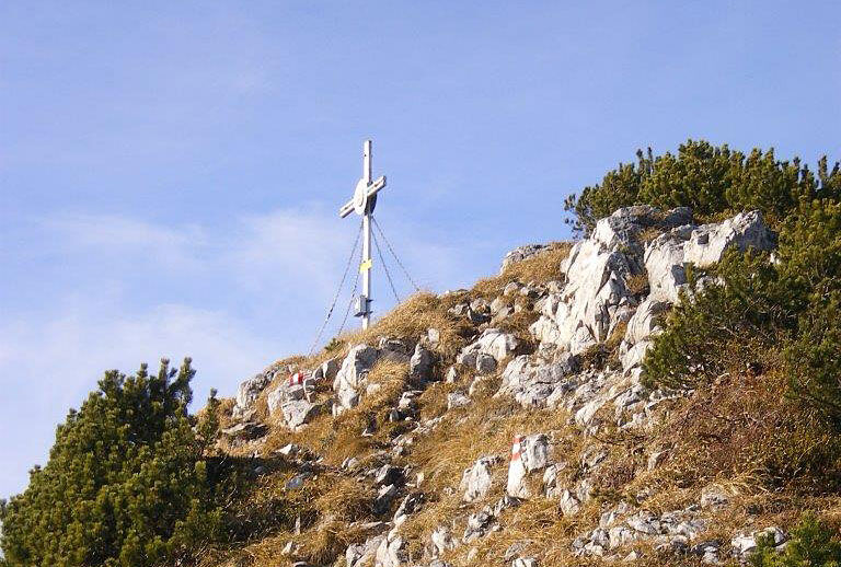
- Destinazione
-
Gamsstein (Hochkogel)
- Profilo altimetrico
-

- Autore
-
Il tour Gamsstein-Tour è utilizzato da outdooractive.com fornito.
GPS Downloads


Info generali
Promettente
Altri tour nelle regioni
-
Gesäuse
2223
-
Hochschwab
1272
-
Hollenstein an der Ybbs
218