

© SW - Picasa

© SW - Picasa

© SW - Picasa

© SW - Picasa

© SW - Picasa

© SW - Picasa
Dati percorsi
4,48km
278
- 317m
56hm
55hm
01:15h
- Descrizione rapida
-
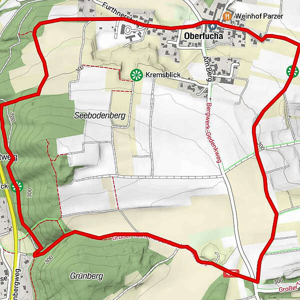
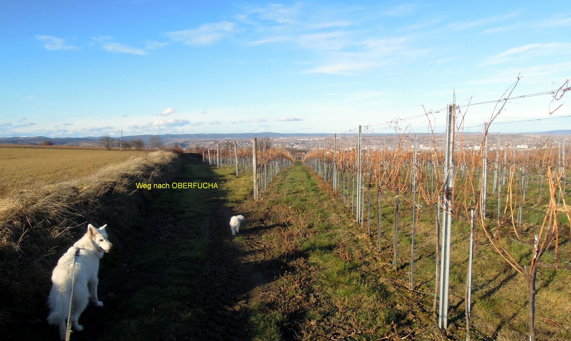
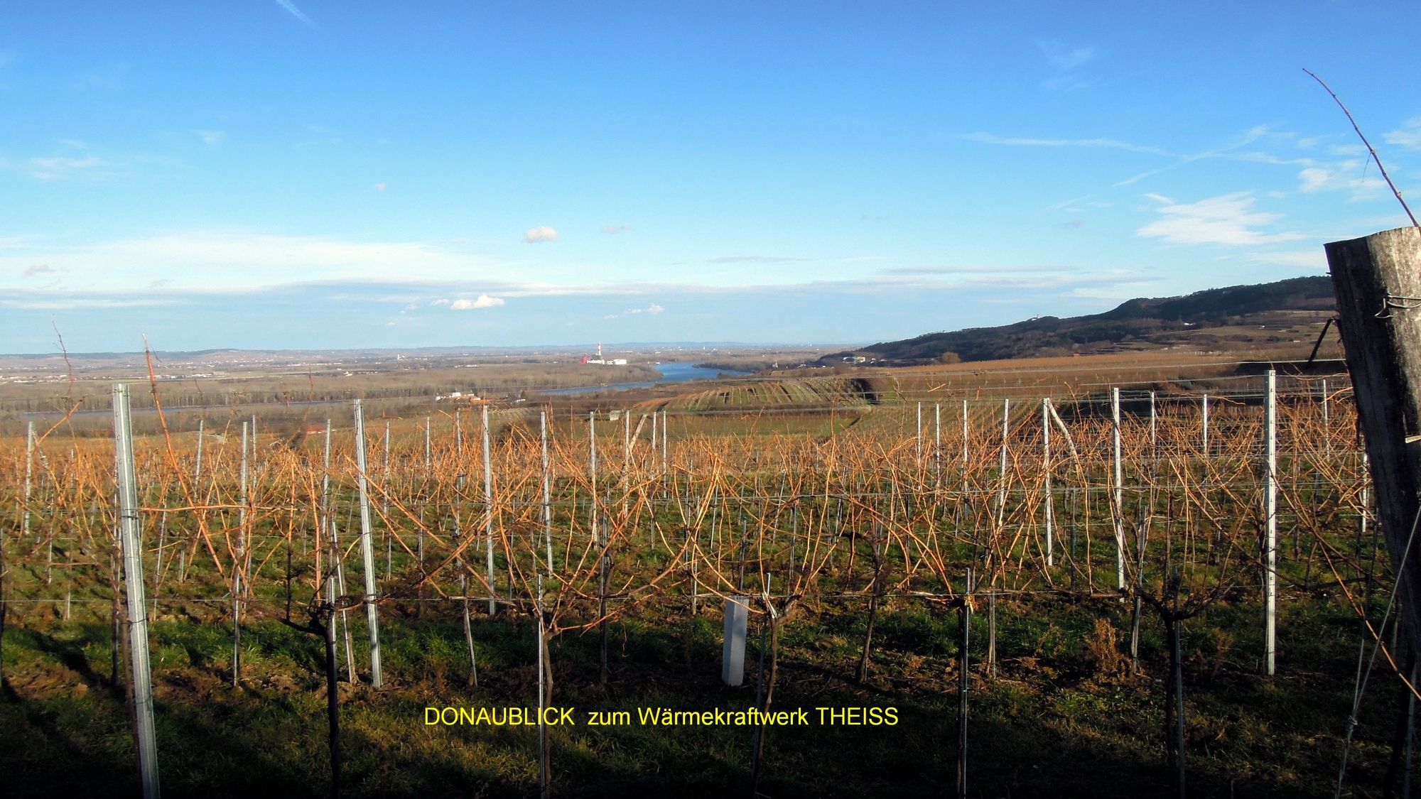
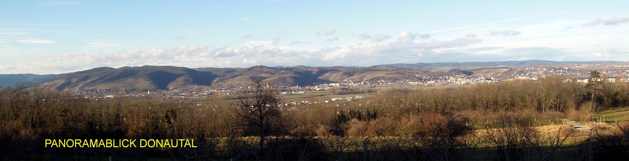
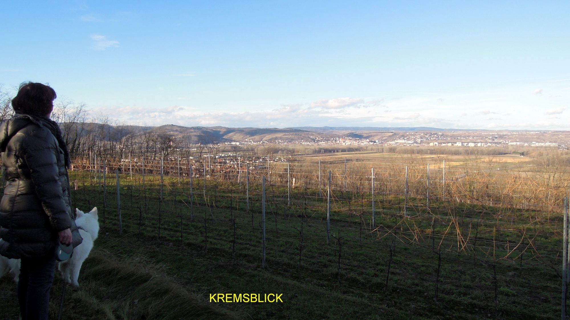
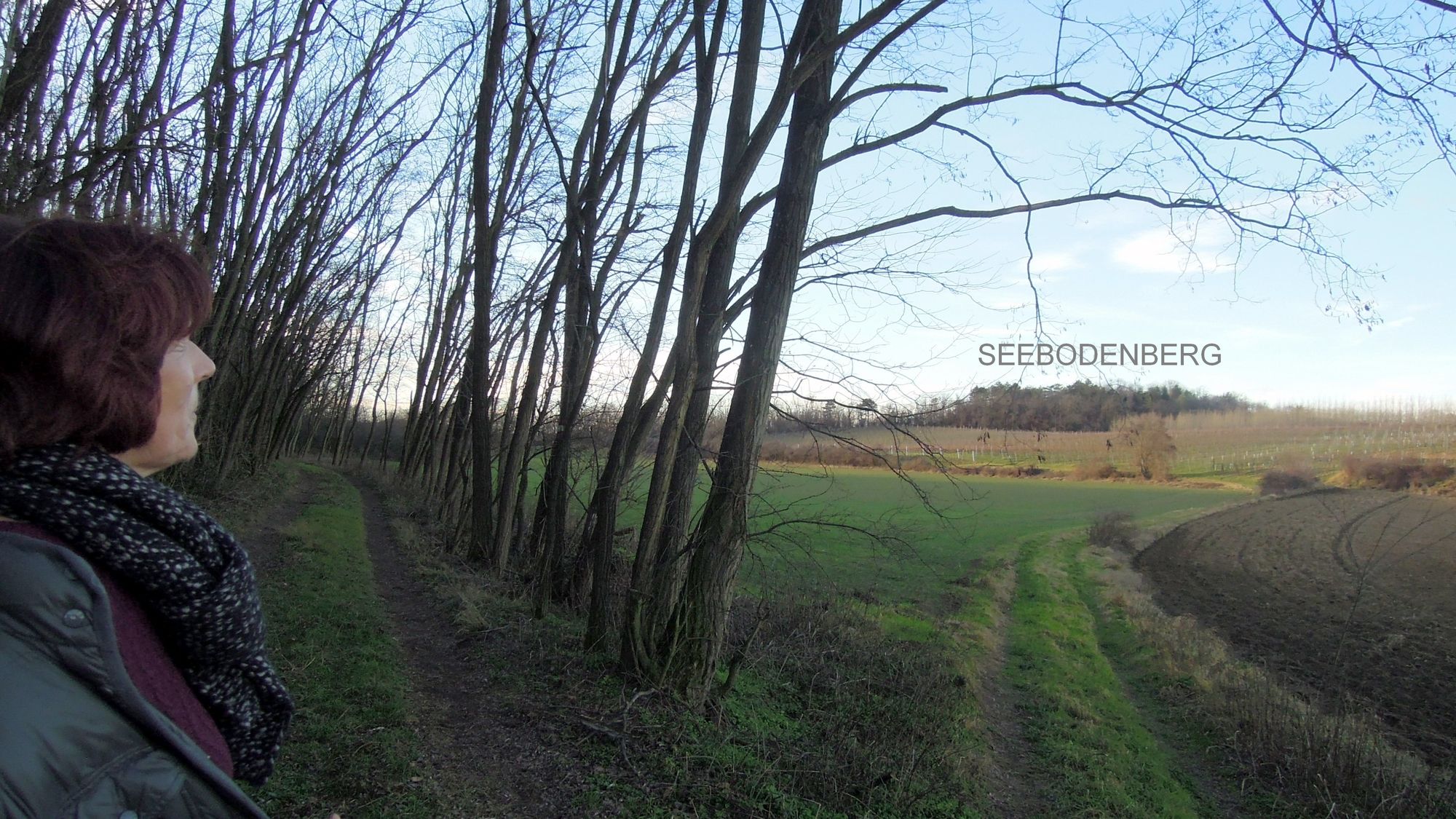
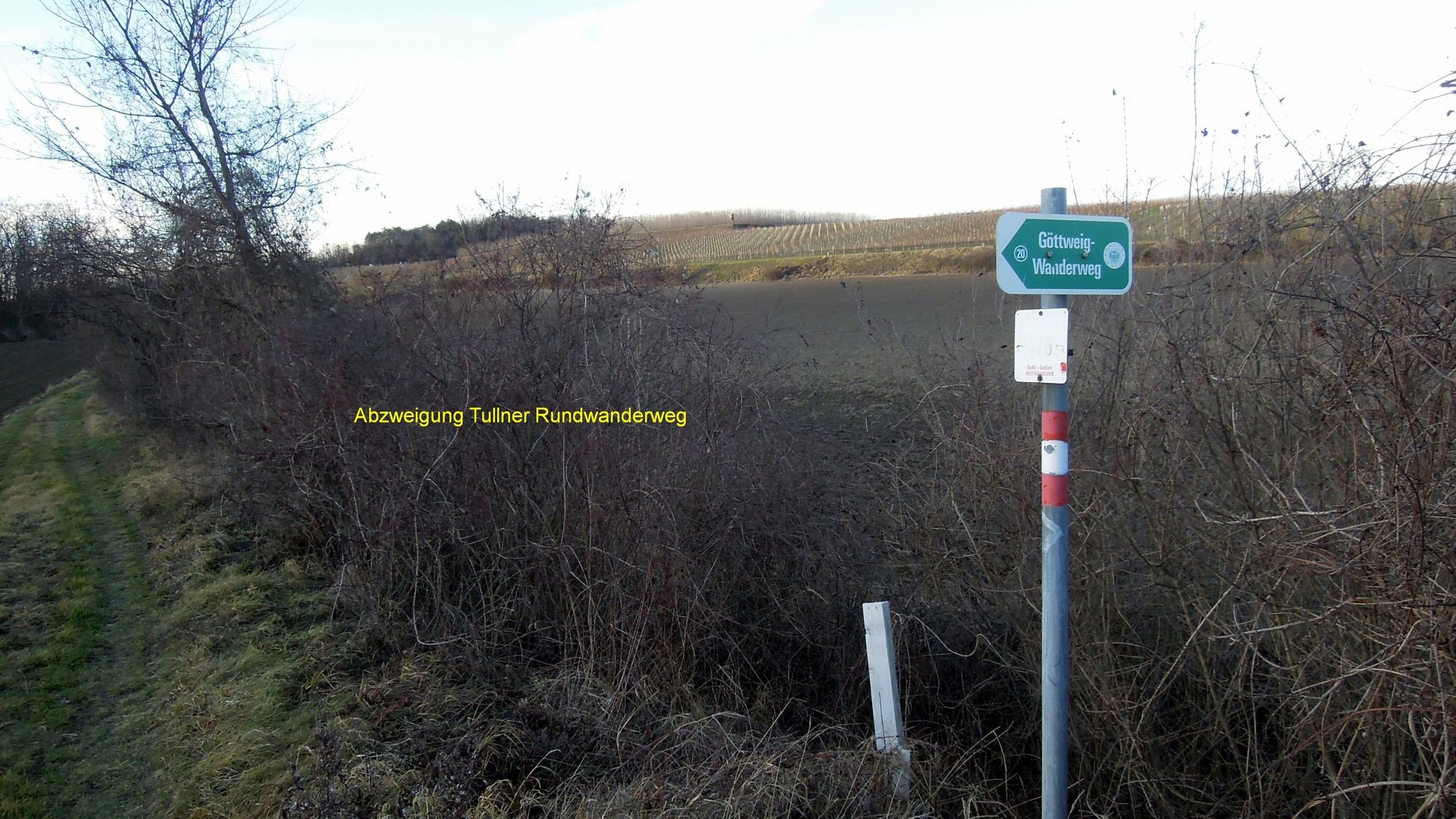
*Umrundung des Seebodenberge*s, einer bewaldeten Anhöhe zwischen den Orten OBERFUCHA und PALT/FURTH mit schönen Blicken ins Donautal und zum Stift Göttweig
- Difficoltà
-
facile
- Valutazione
-
- Punto di partenza
-
Marterl Kammererkreuz an der Verbindungsstrasse Eggendorf - Oberfucha
- Percorso
-
Weinhof Parzer1,4 kmOrtskapelle Oberfucha1,4 kmOberfucha1,5 km
- La stagione migliore
-
genfebmaraprmaggiulugagosetottnovdic
- Punto più alto
- 317 m
- Destinazione
-
wie Ausgangspunkt, da Rundtour
- Riposo/Ritiro
-
Keine, ev. Heurige in Oberfucha
- Informazioni
-
Rother Wanderführer "WACHAU"
- Cartine
-
BEV-Österreichkarte
OSM-Karten
- Fonte
- Walter Schneeweiss/Paudorf
GPS Downloads


Condizioni dei sentieri
Asfalto
(20)
Ghiaia
(15)
Prato
(15)
Foresta
(50)
Roccia
Esposta
Altri tour nelle regioni
-
Donau Niederösterreich
2288
-
Traisental - Donauland
1196
-
Furth bei Göttweig
607


