- Descrizione rapida
-
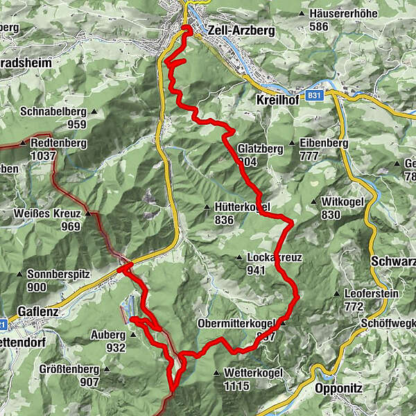
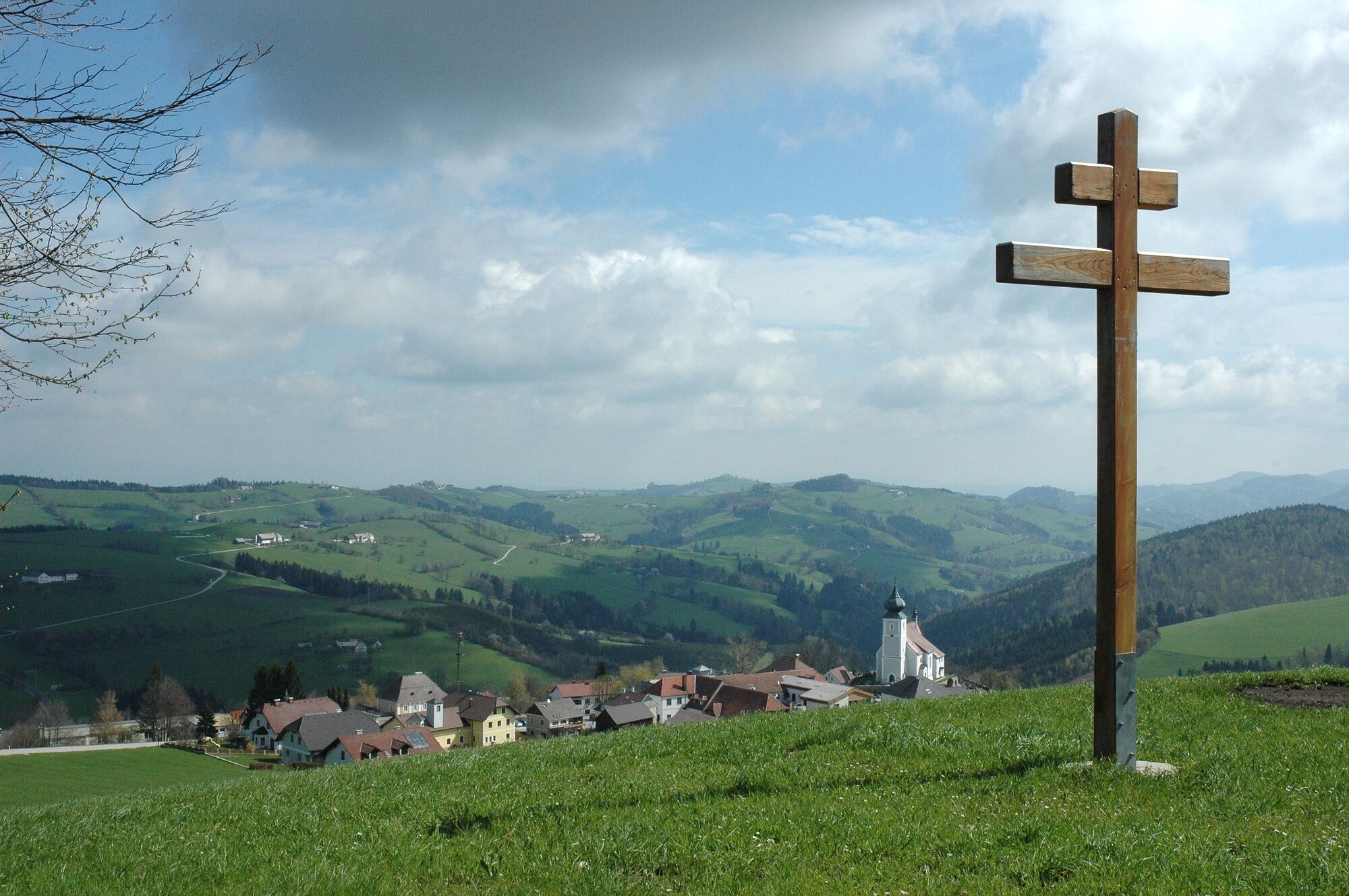
Über den Buchenberg, den Glatzberg (herrlicher Ausblick), den Hochseeberg mit jahrhundertealte Seebergkapelle und die Amstettner Hütte ins kleine Skigebiet Forsteralm.
- Difficoltà
-
difficile
- Valutazione
-
- Percorso
-
WasservorstadtBürgerspitalkirche0,1 kmWaidhofen an der Ybbs0,1 kmWasservorstadt1,1 kmWirts3,2 kmGasthaus am Grasberg4,0 kmGlatzberg (904 m)6,2 kmObermitterkogel (897 m)12,1 kmAmstettner Hütte15,4 kmHirschkogel (1.094 m)16,3 km
- La stagione migliore
-
genfebmaraprmaggiulugagosetottnovdic
- Punto più alto
- 1.073 m
- Destinazione
-
Bahnhof Oberland
- Profilo altimetrico
-

- Autore
-
Il tour Waidhofen - Forsteralm è utilizzato da outdooractive.com fornito.
GPS Downloads


Info generali
Punto di ristoro
Promettente
Altri tour nelle regioni
-
Mostviertel
2454
-
Melker Alpenvorland
797
-
Waidhofen an der Ybbs
261