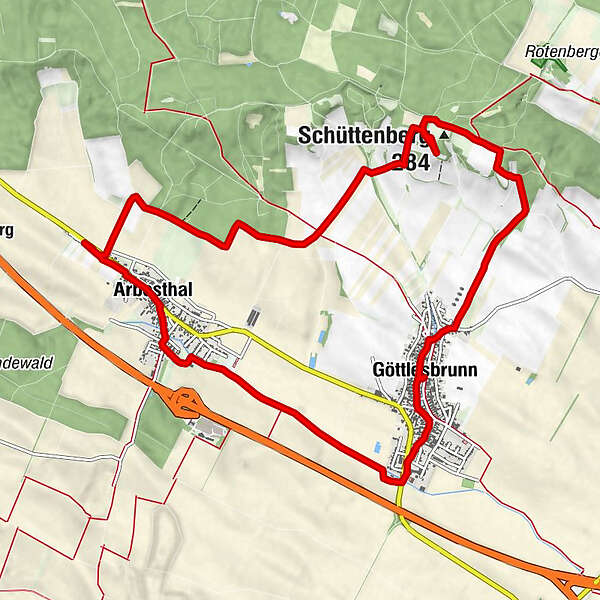
VIA.VINUM. - RUNDWEG GÖTTLESBRUNN - ARBESTHAL

Escursionismo

© Donau Niederösterreich - Tourismusbüro Carnuntum-Marchfeld - Donau Niederösterreich, Robert Herbst

© Donau Niederösterreich Tourismus, Andreas Hofer

© Donau Niederösterreich Tourismus, Andreas Hofer

© Unbekannt - Donau Niederösterreich, Andreas Hofer

© Donau Niederösterreich - Tourismusbüro Carnuntum-Marchfeld - Donau Niederösterreich, Robert Herbst
Dati percorsi
13,04km
163
- 280m
102hm
121hm
03:45h

- Descrizione rapida
-
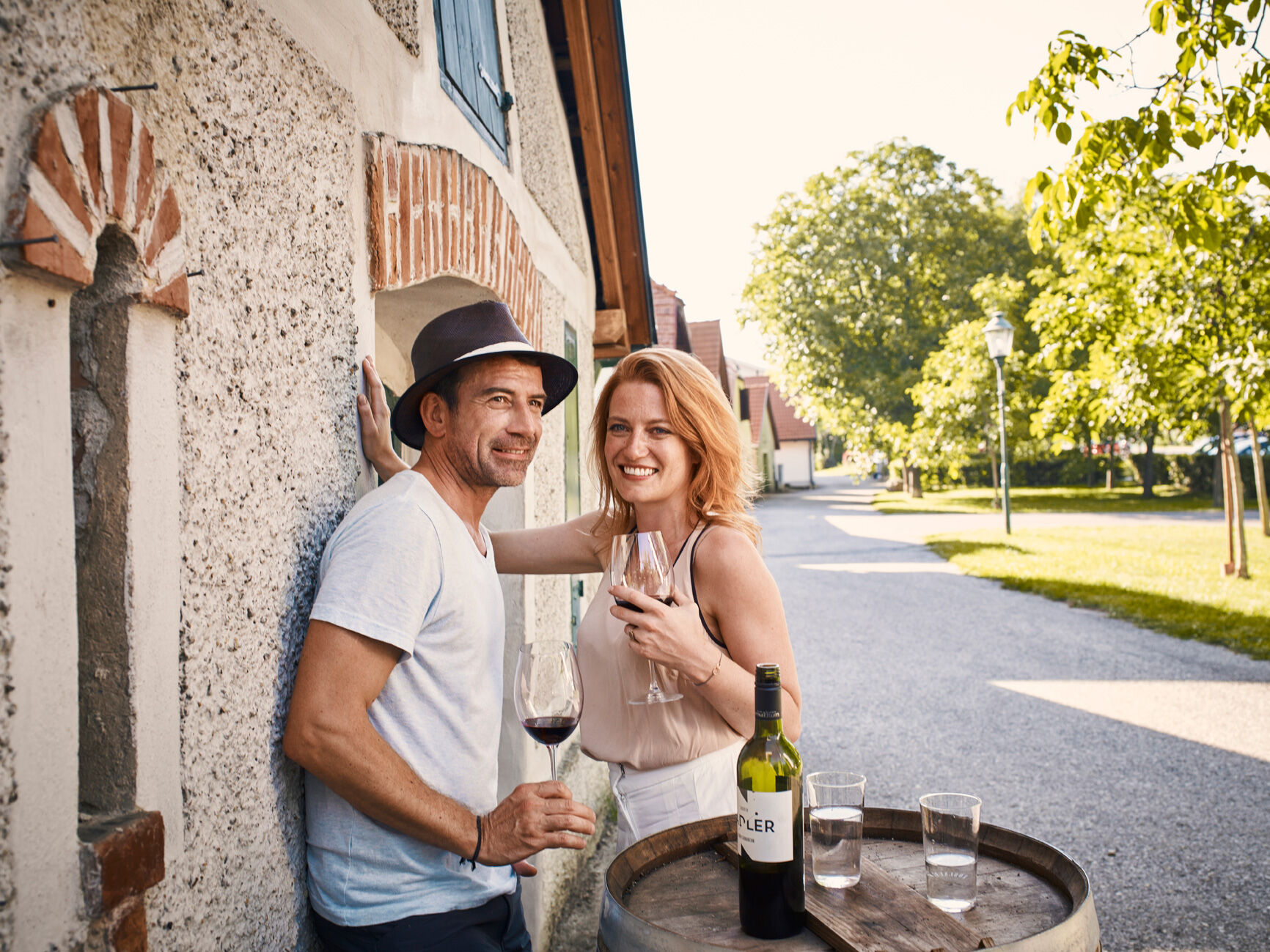
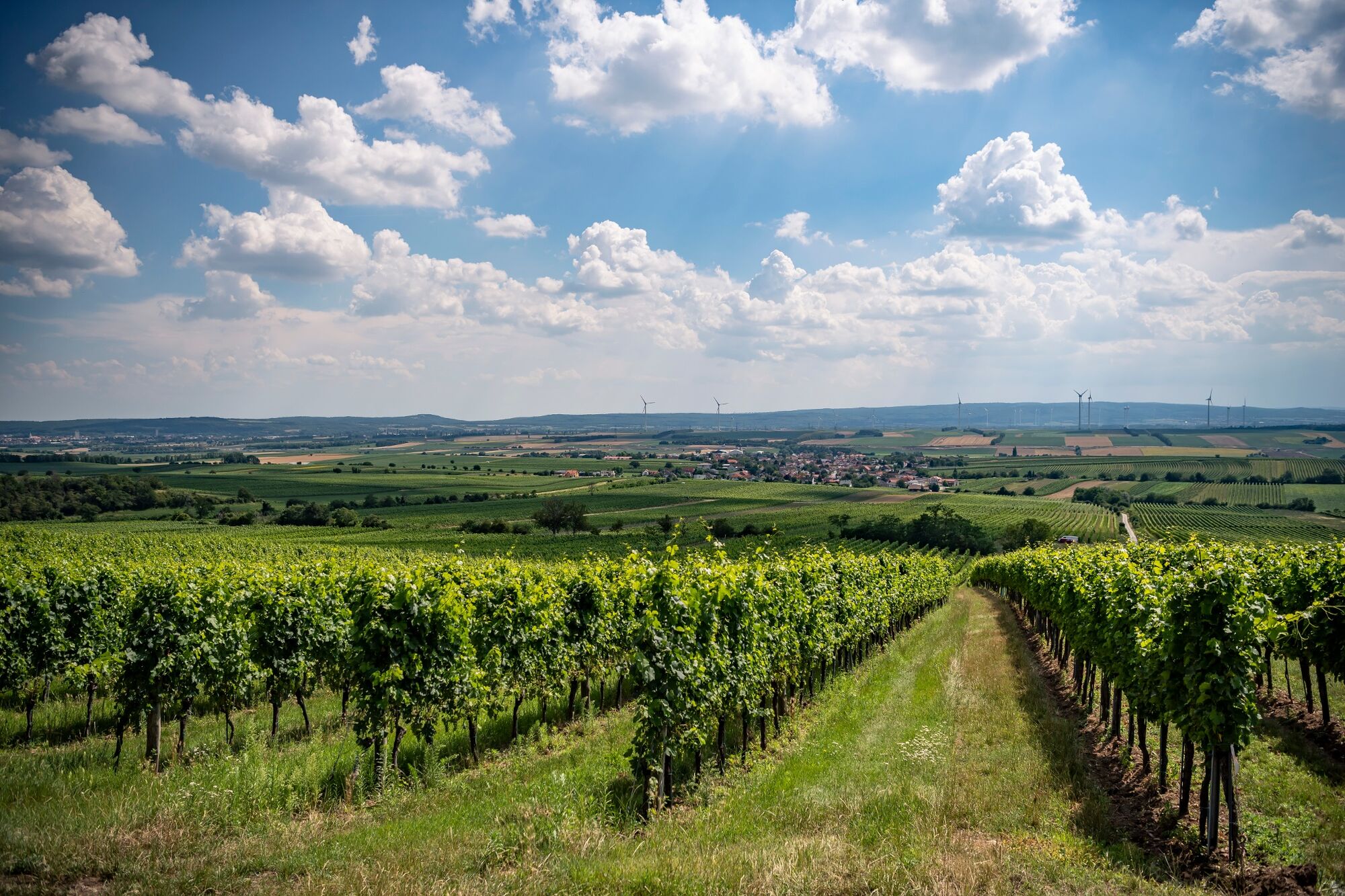
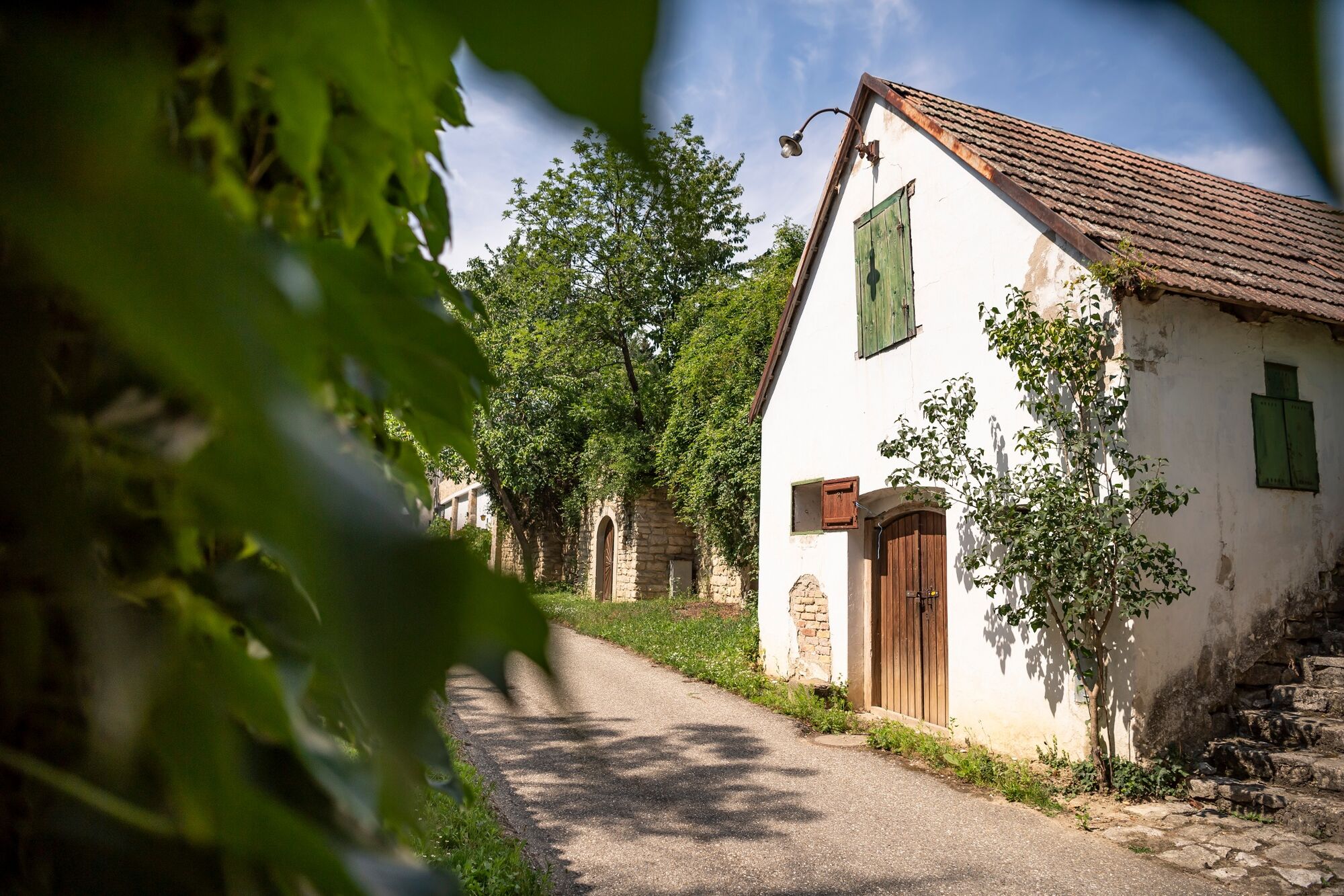
TOP-Wanderweg: Weinwandern in drei Etappen - RUNDWEG GÖTTLESBRUN-ARBESTHAL - VIA.VINUM.
- Difficoltà
-
facile
- Valutazione
-
- Percorso
-
GöttlesbrunnSchüttenberg (284 m)3,1 kmHeuriger Wallner8,1 kmHeuriger Nadler8,5 kmArbesthal9,0 kmGöttlesbrunn13,0 km
- La stagione migliore
-
genfebmaraprmaggiulugagosetottnovdic
- Punto più alto
- 280 m
- Destinazione
-
Gemeindeamt Göttlesbrunn oder Parkplatz Kellergasse Arbesthal
- Profilo altimetrico
-


- Autore
-
Il tour VIA.VINUM. - RUNDWEG GÖTTLESBRUNN - ARBESTHAL è utilizzato da outdooractive.com fornito.
GPS Downloads


Altri tour nelle regioni