

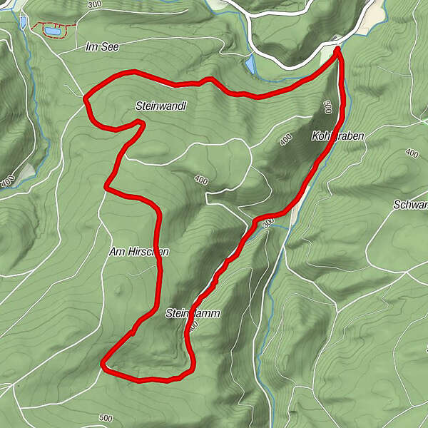
Dati percorsi
6,97km
244
- 486m
243hm
239hm
01:35h
- Descrizione rapida
-
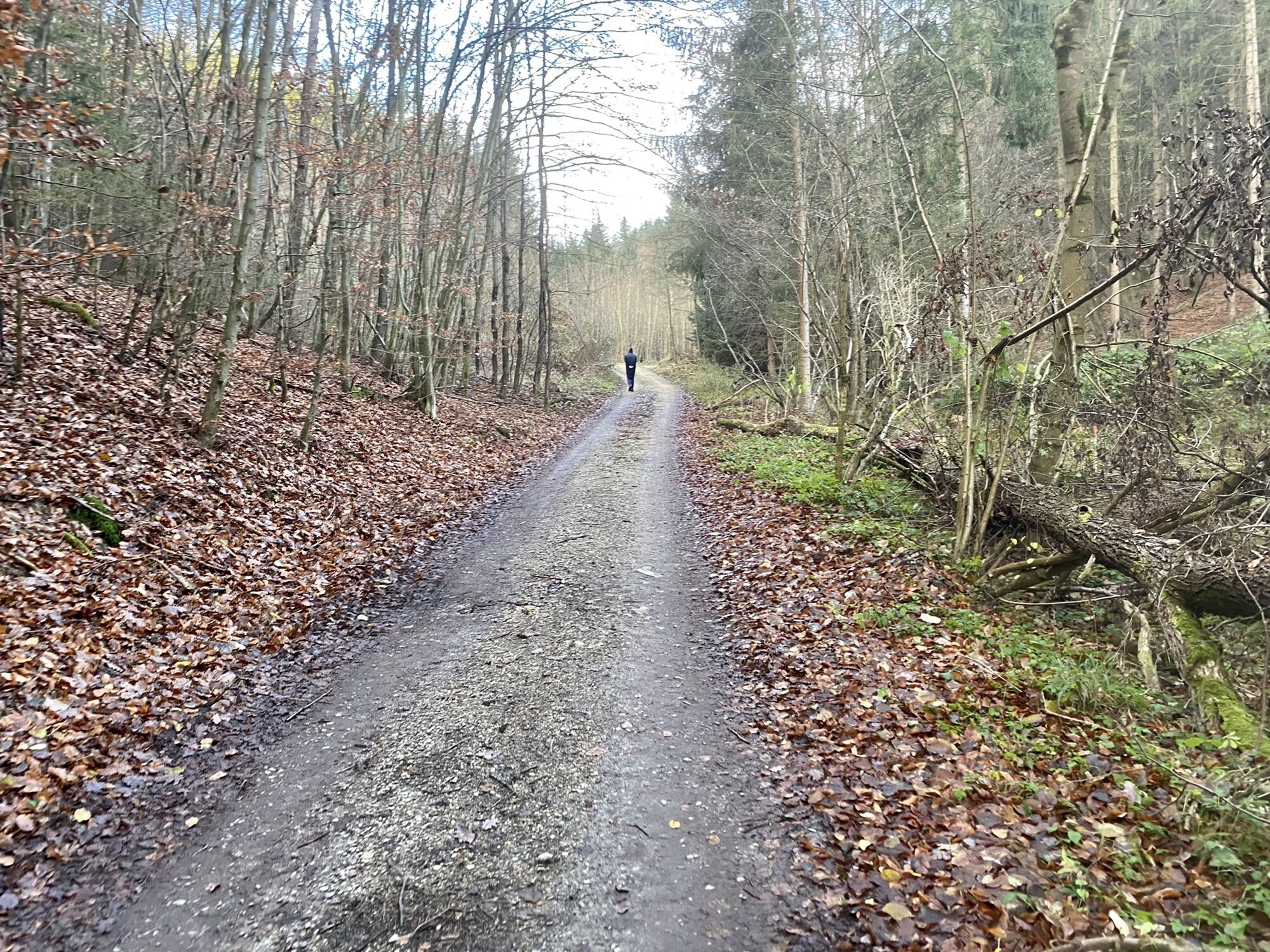
Kurze Wanderung auf breiten Forstwegen mit doch ein paar Höhenmetern
- Difficoltà
-
facile
- Valutazione
-
- Punto più alto
- 486 m
GPS Downloads


Altri tour nelle regioni


