

© Radler-Rast - Mag. Brigitte Pamperl

© Radler-Rast - Mag. Brigitte Pamperl

© Radler-Rast - Mag. Brigitte Pamperl

© Radler-Rast - Mag. Brigitte Pamperl

© Radler-Rast - Mag. Brigitte Pamperl

© Radler-Rast - Mag. Brigitte Pamperl

© Radler-Rast - Mag. Brigitte Pamperl

© Radler-Rast - Mag. Brigitte Pamperl

© Radler-Rast - Mag. Brigitte Pamperl

© Radler-Rast - Mag. Brigitte Pamperl

- Descrizione rapida
-
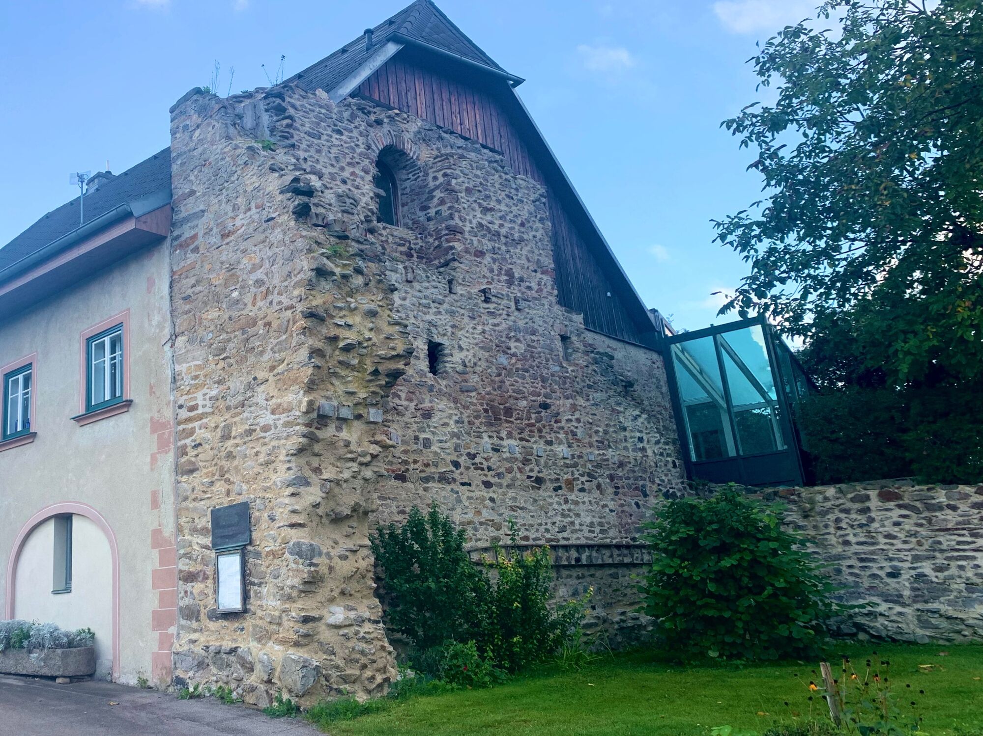
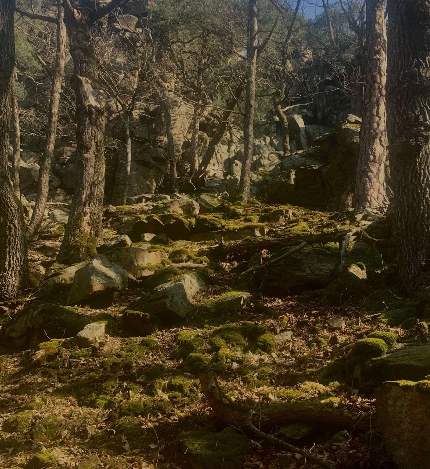
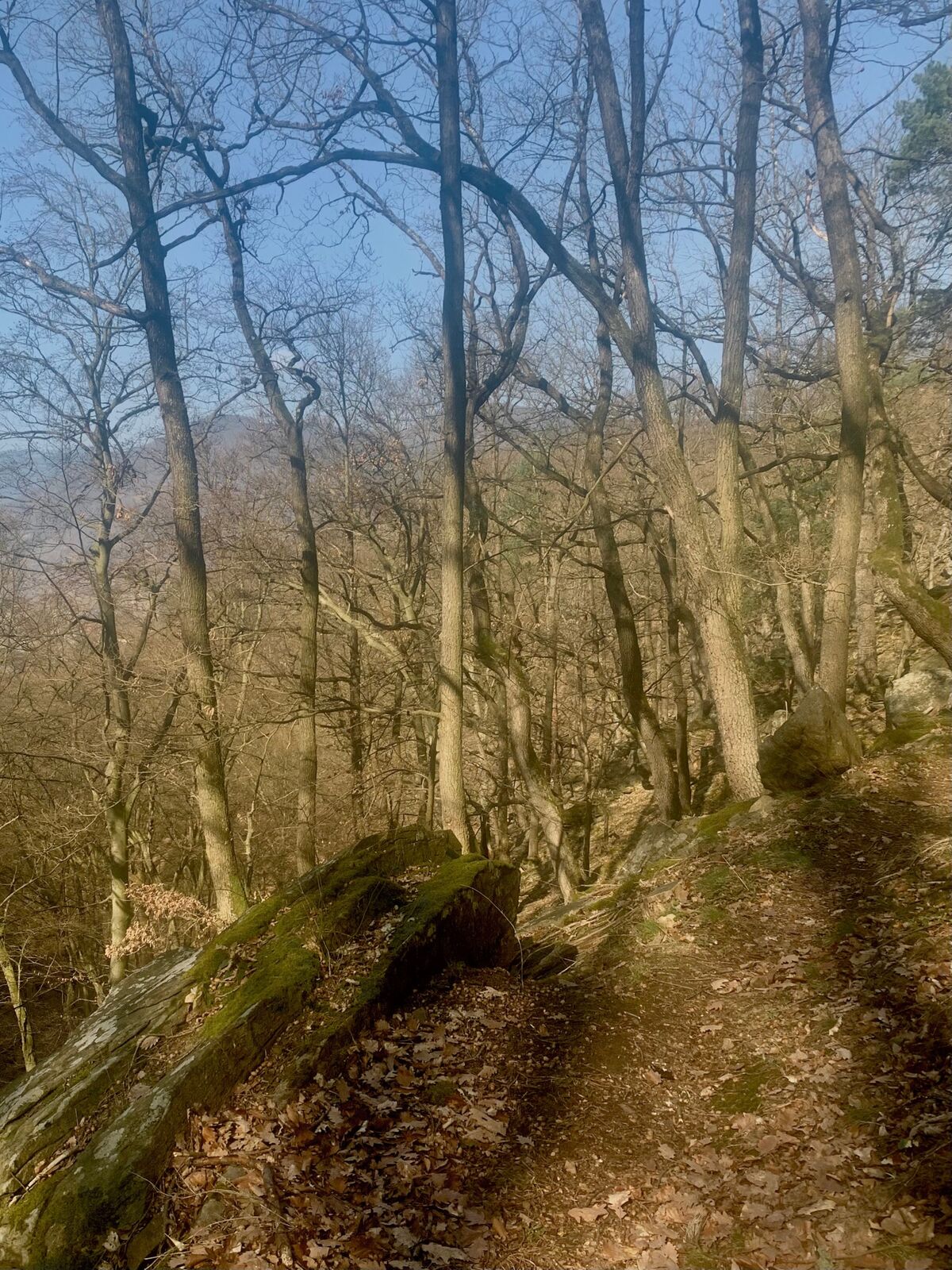
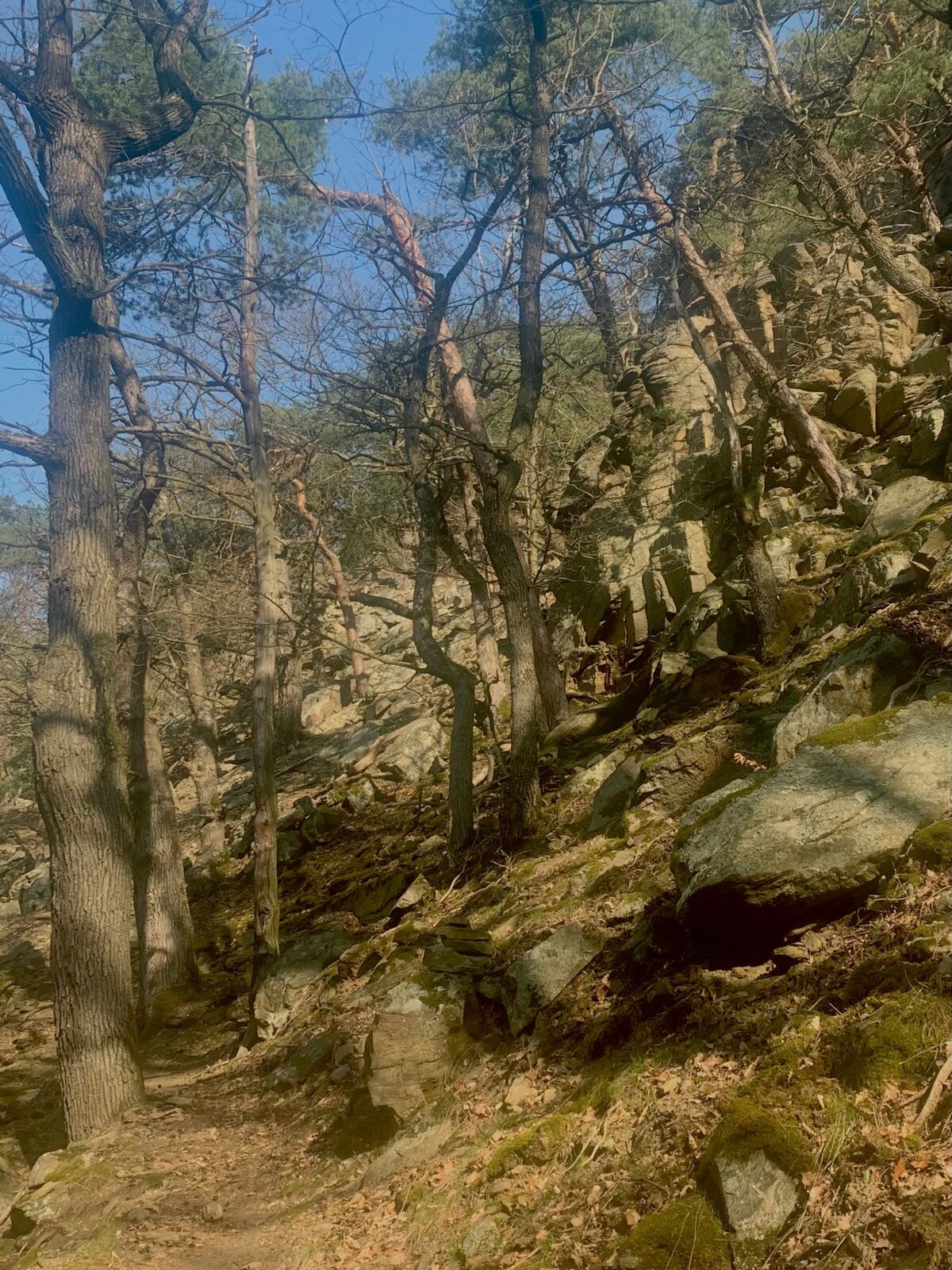
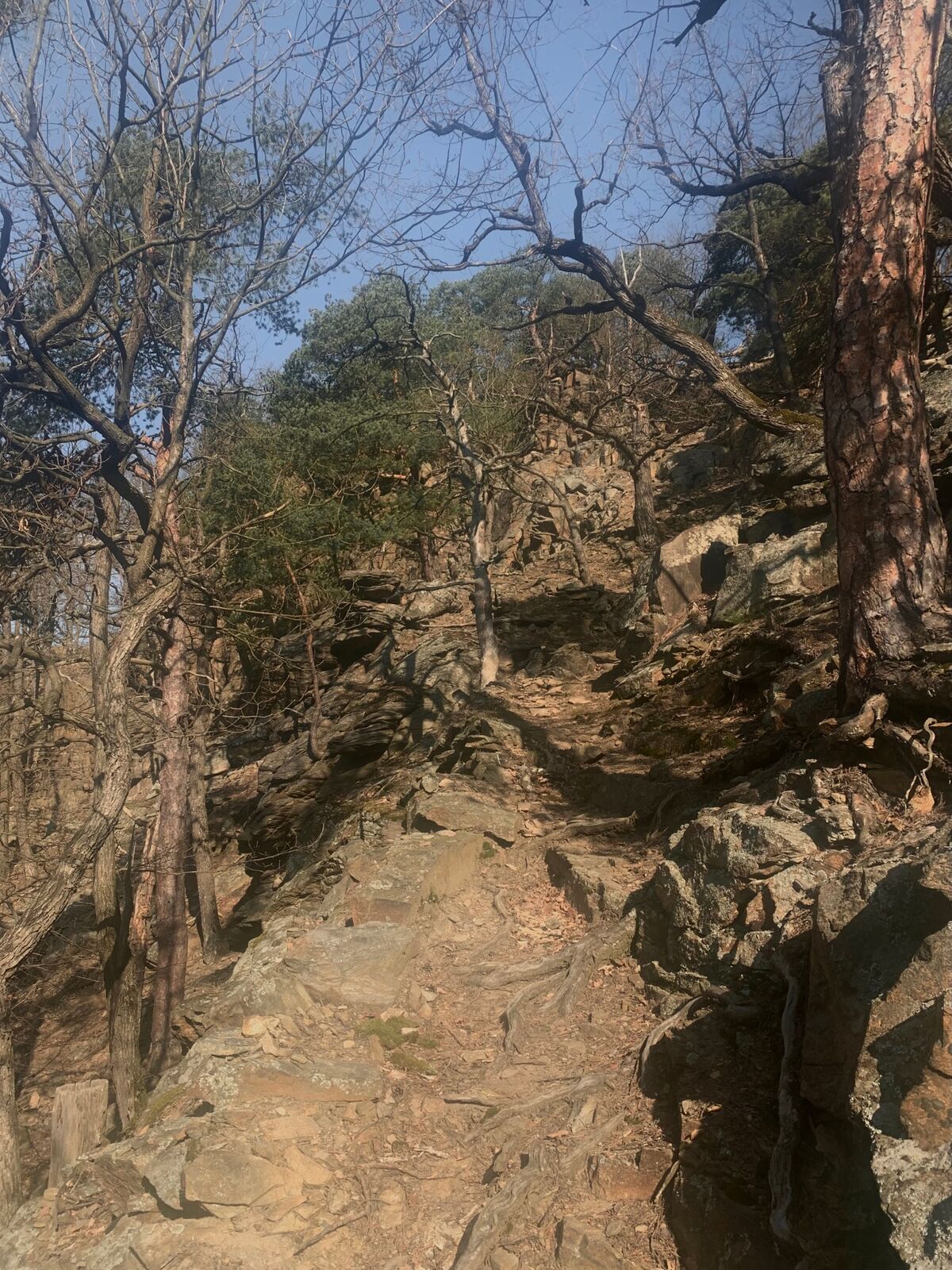
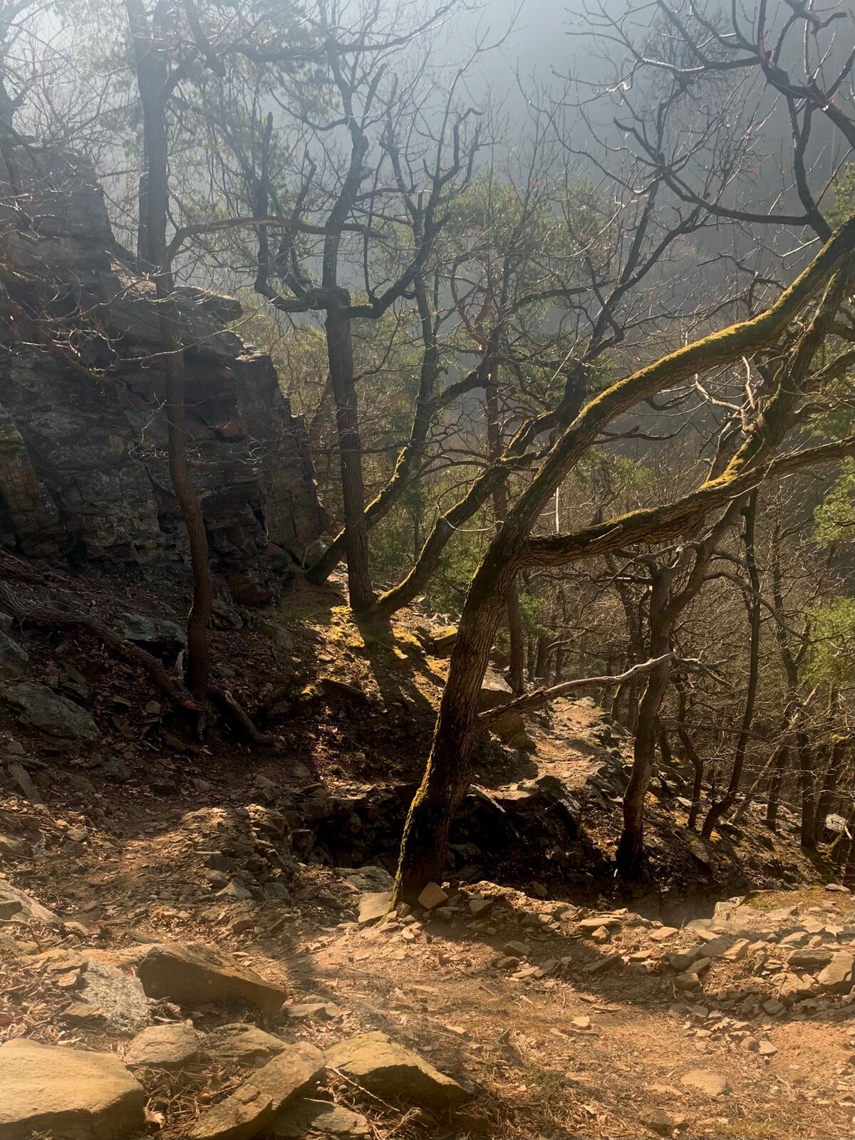
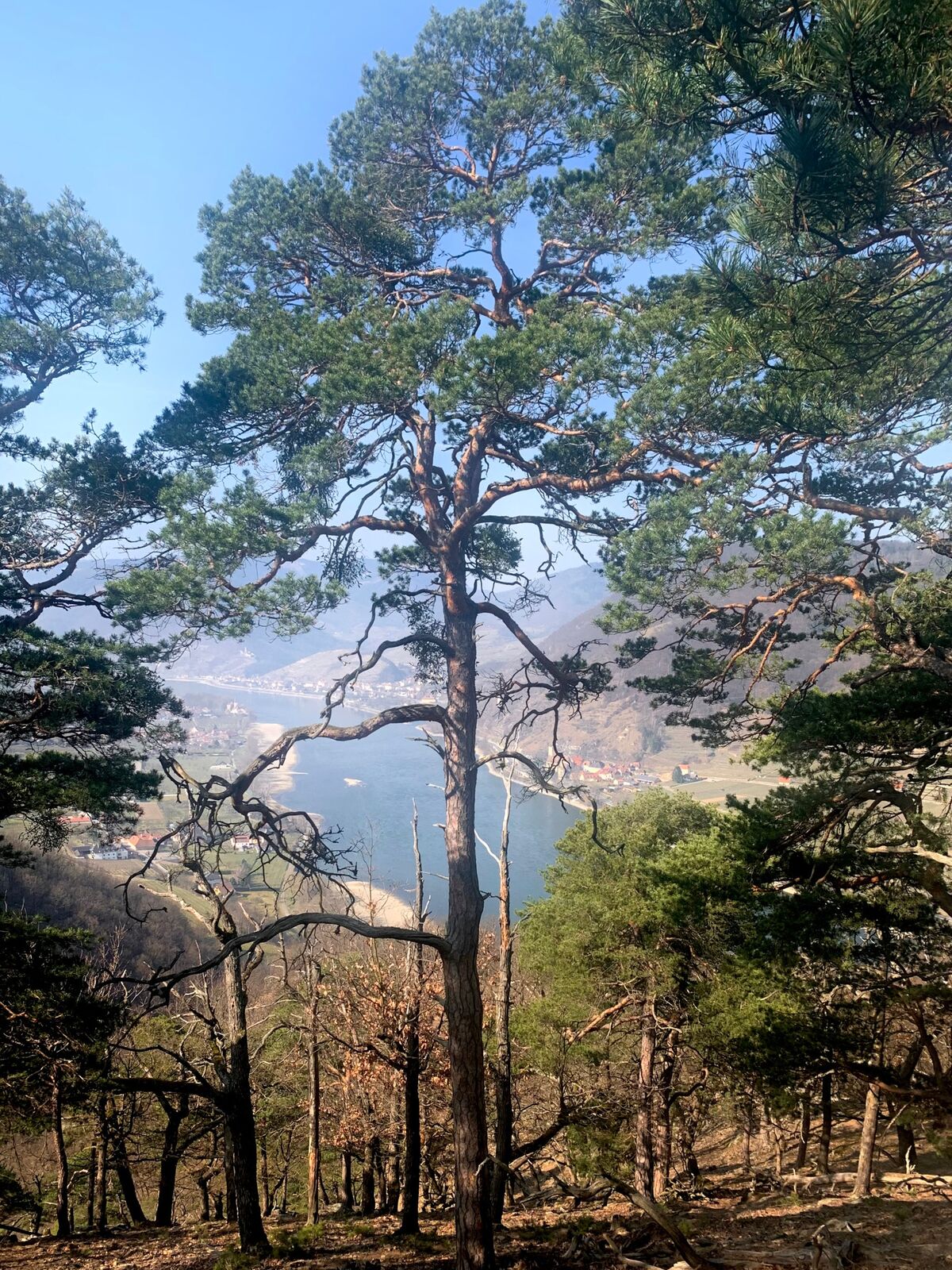
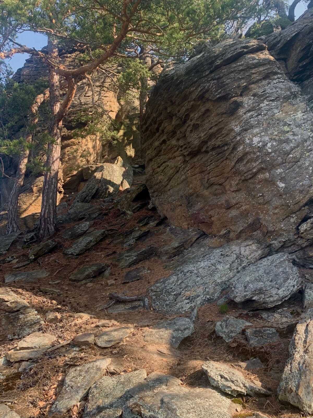
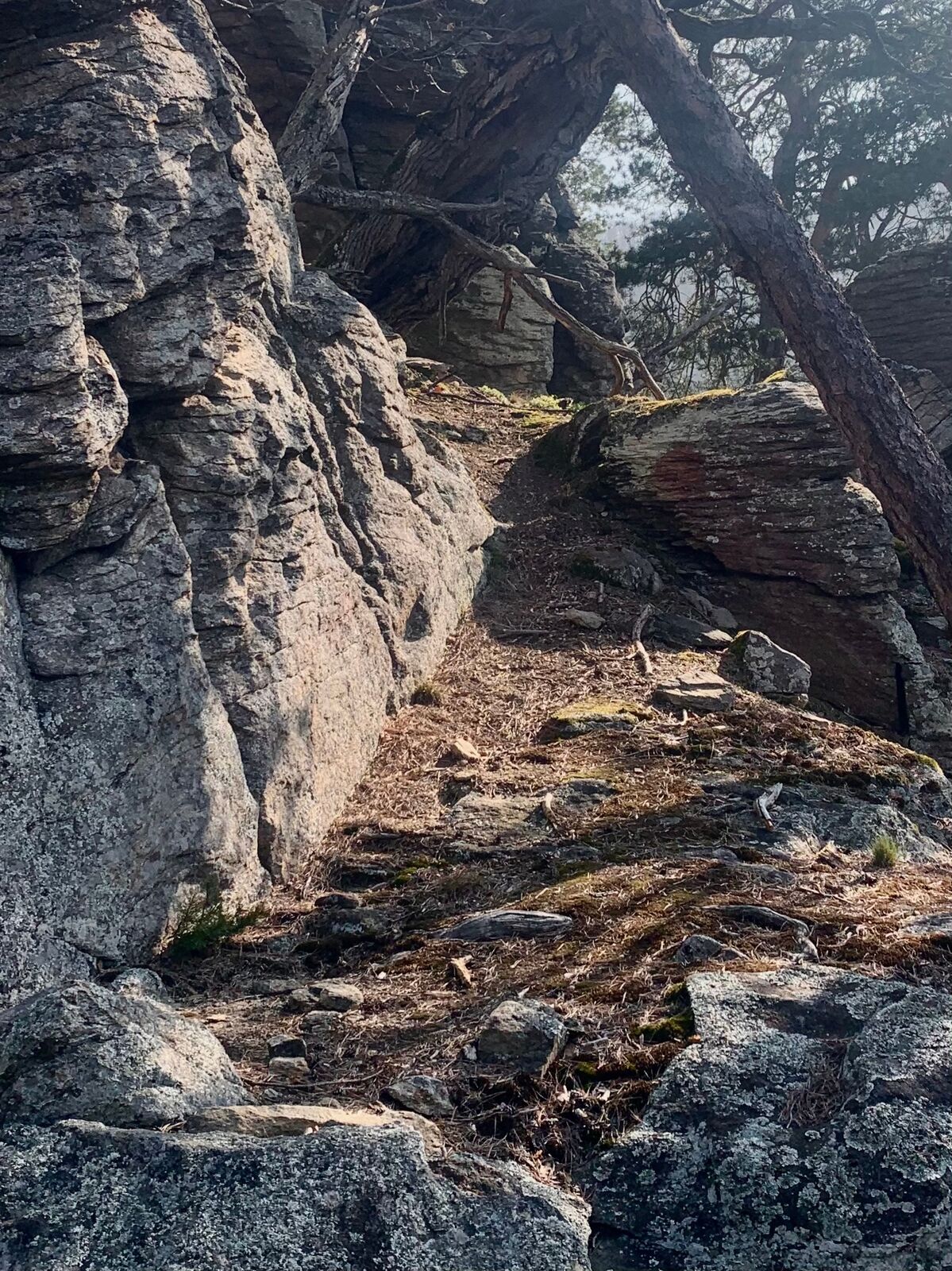
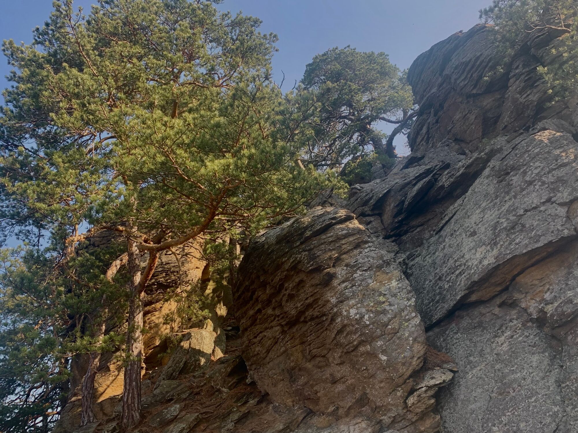
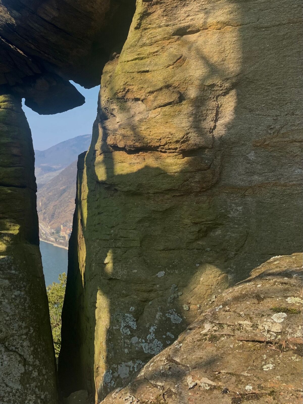
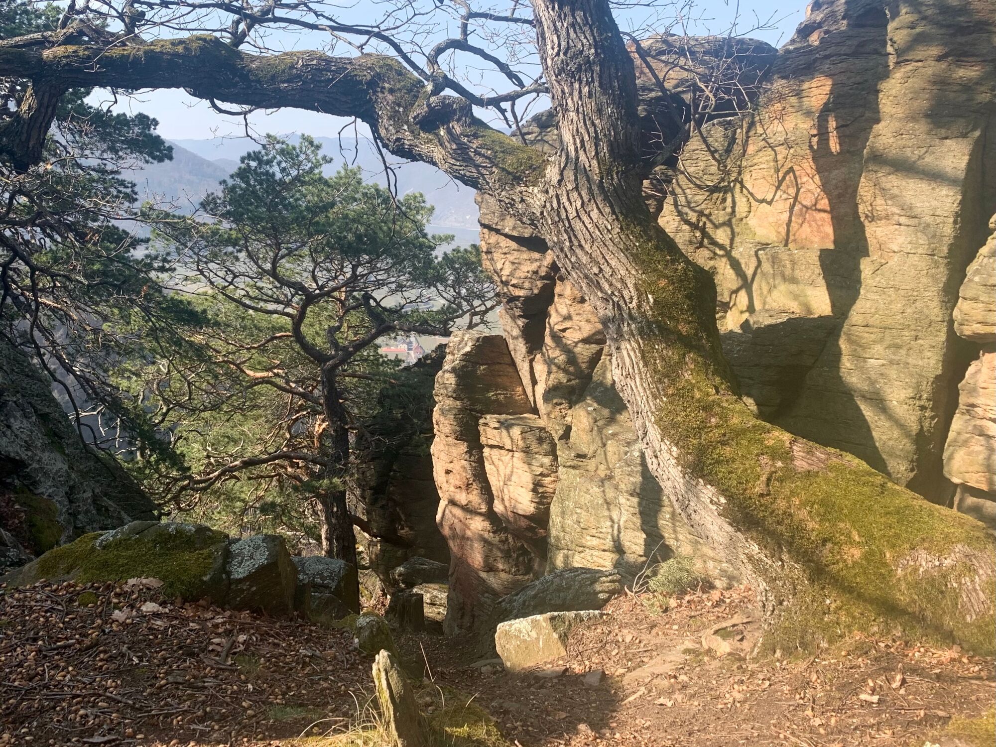
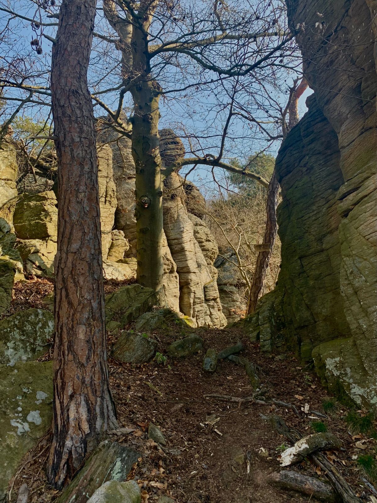
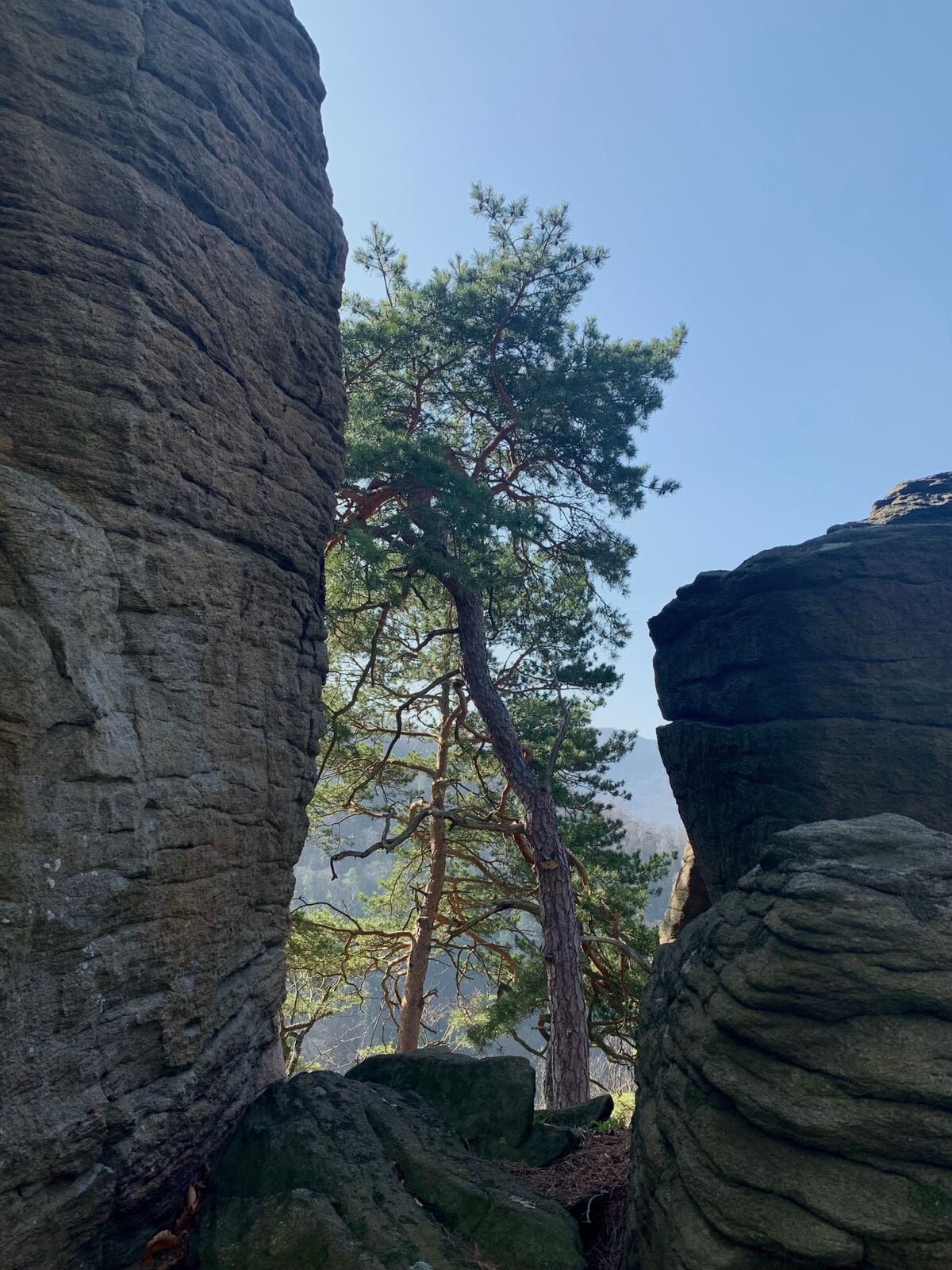
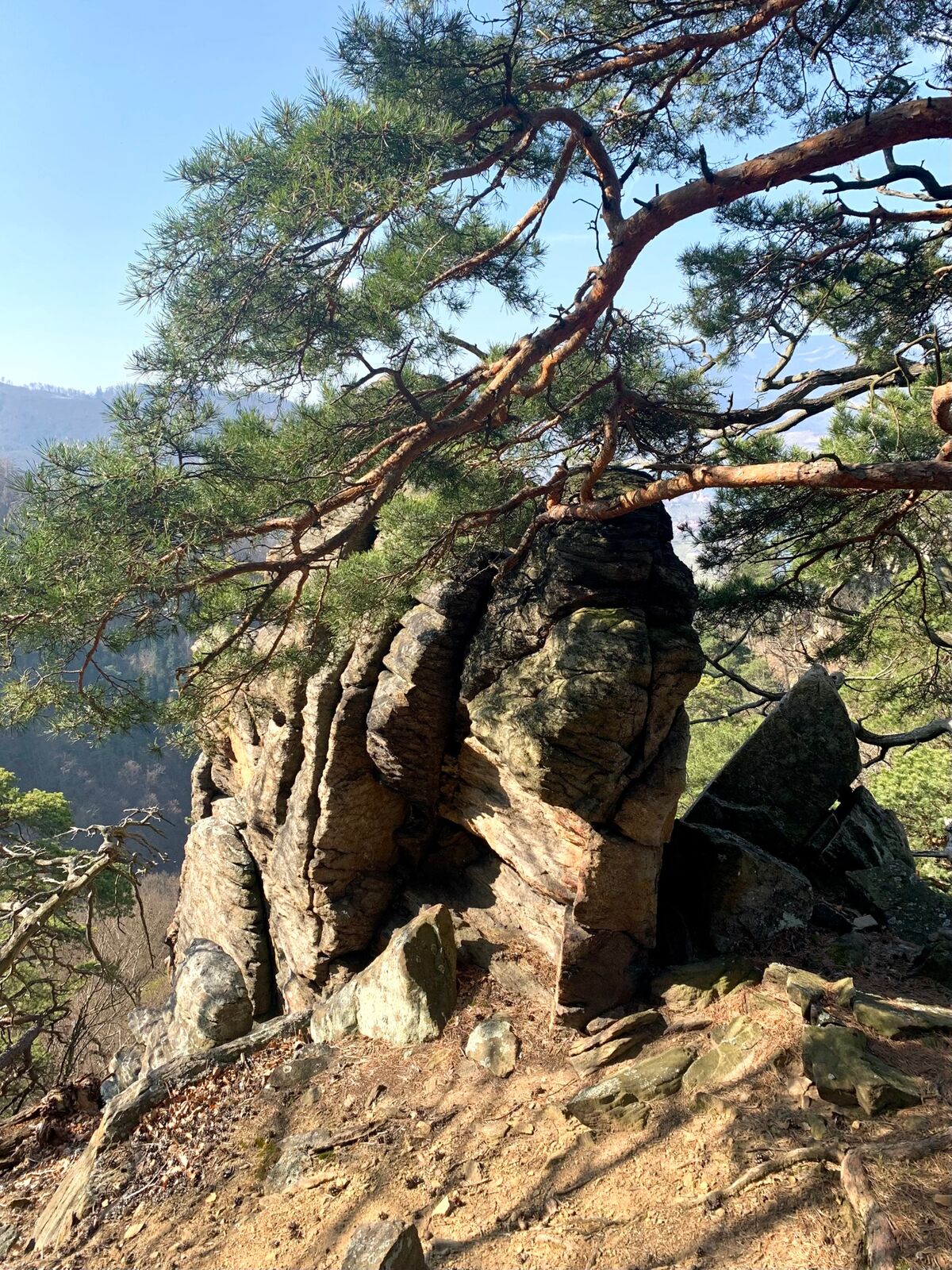
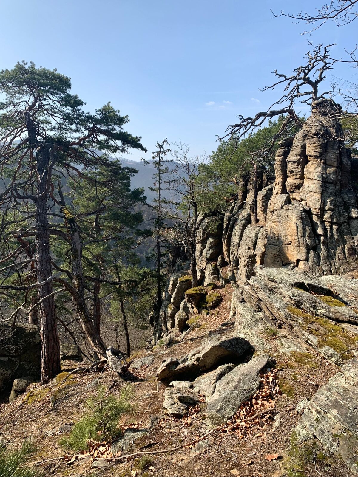
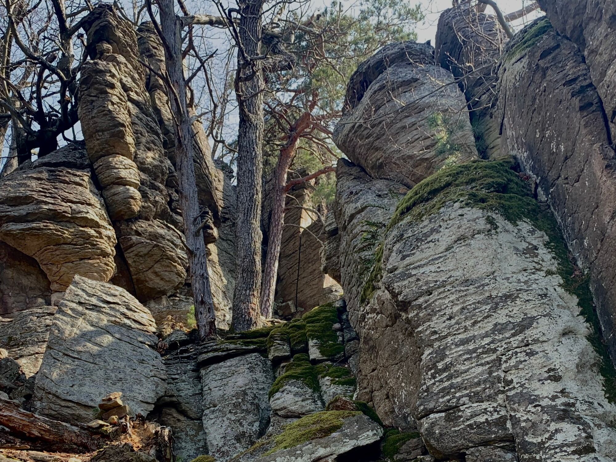
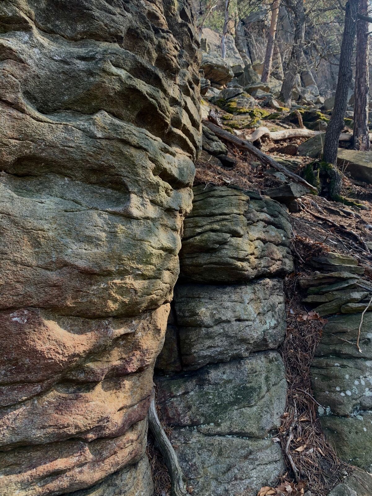
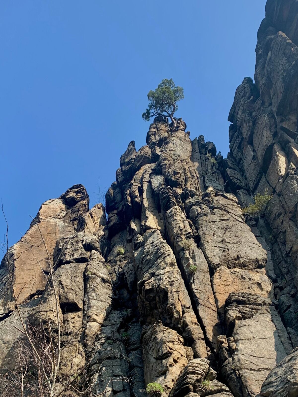
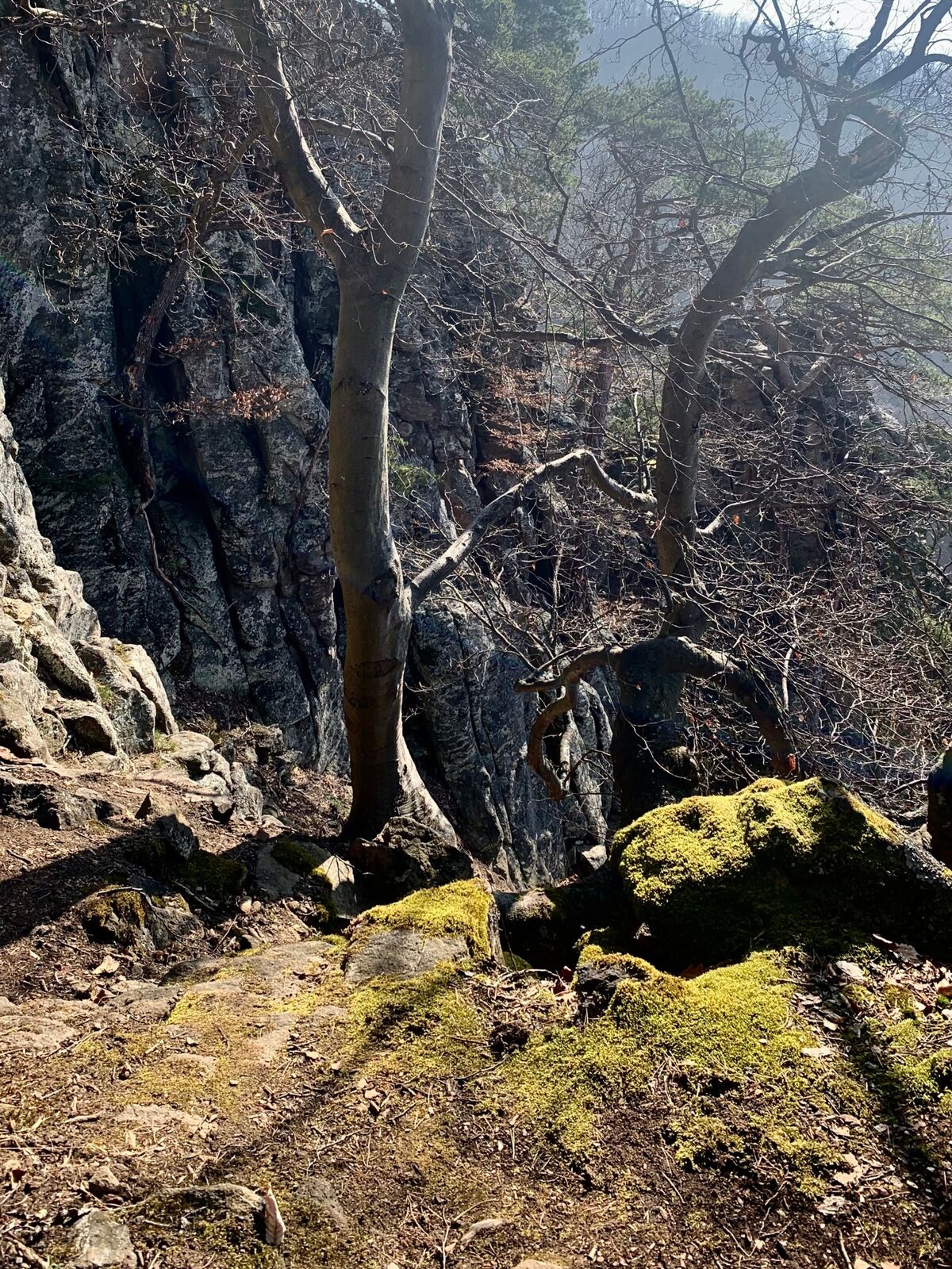
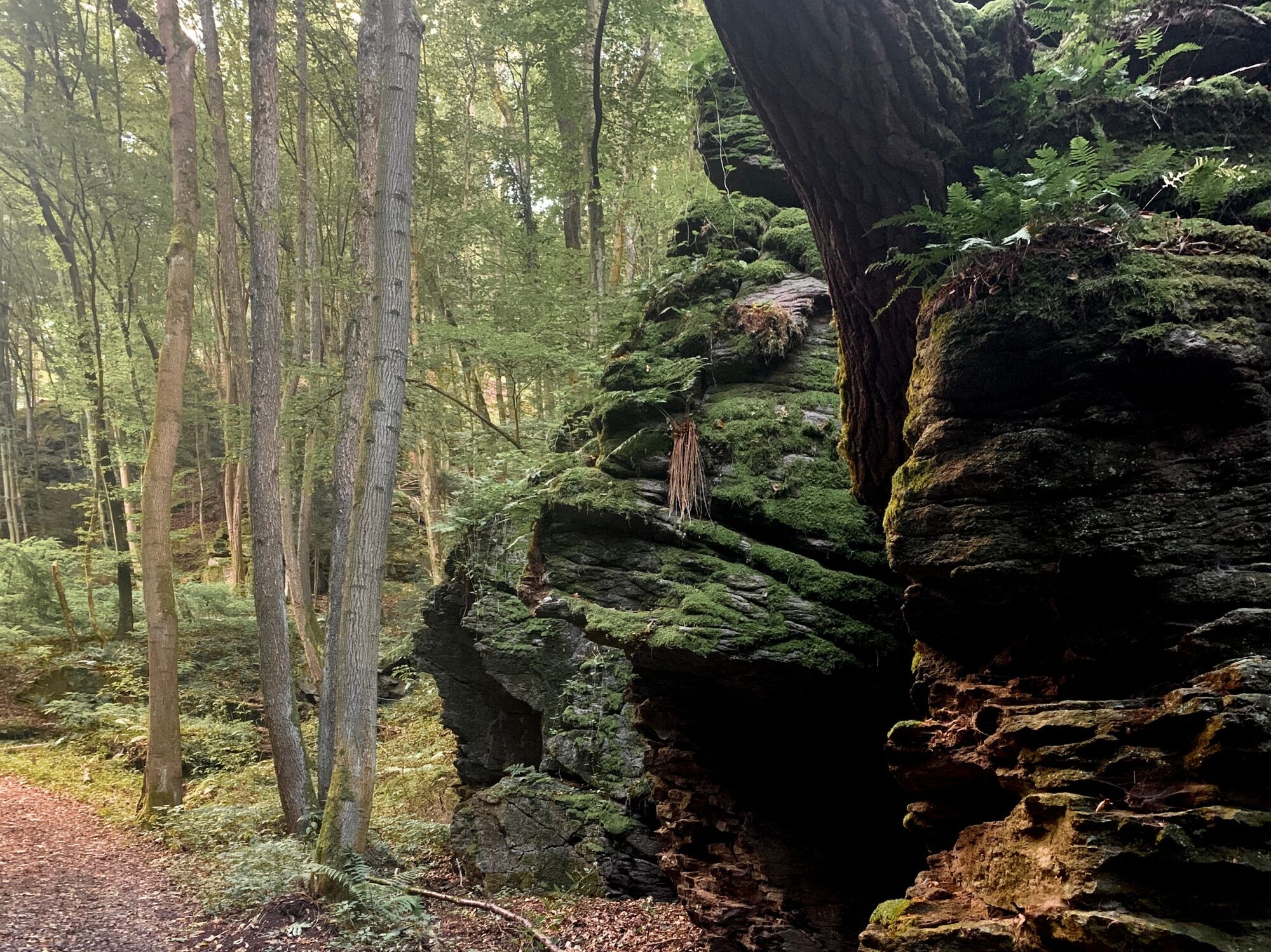
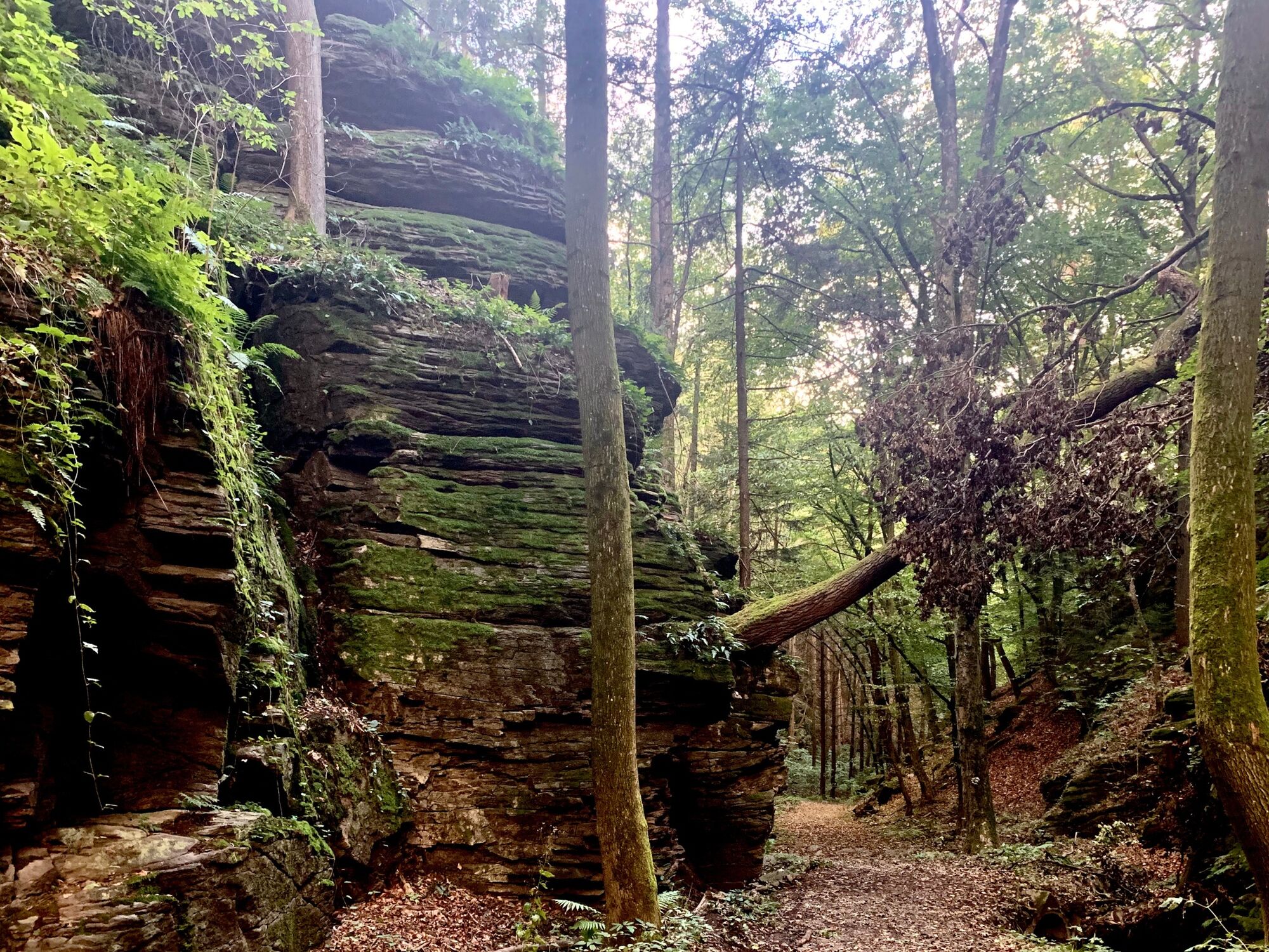
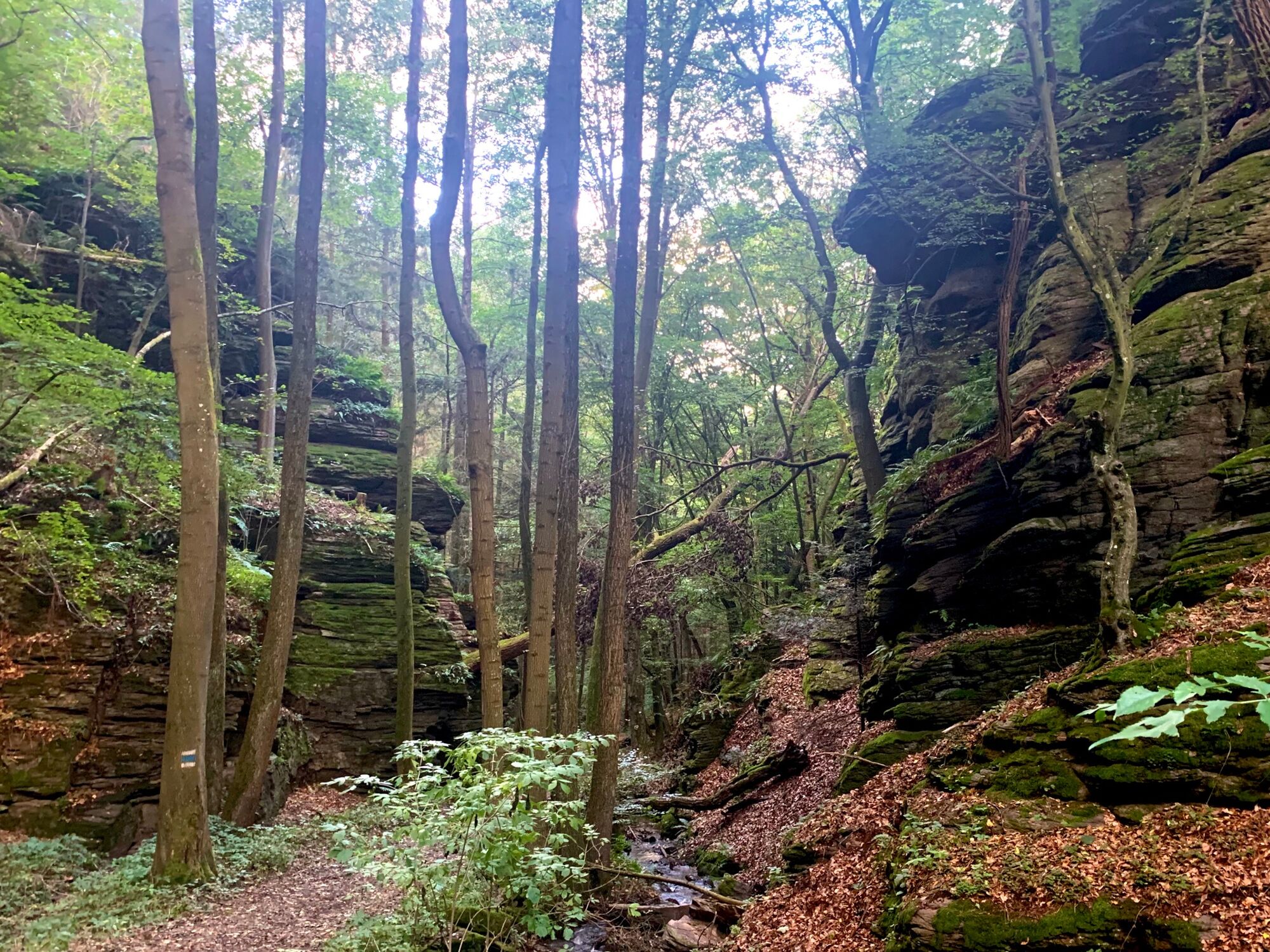
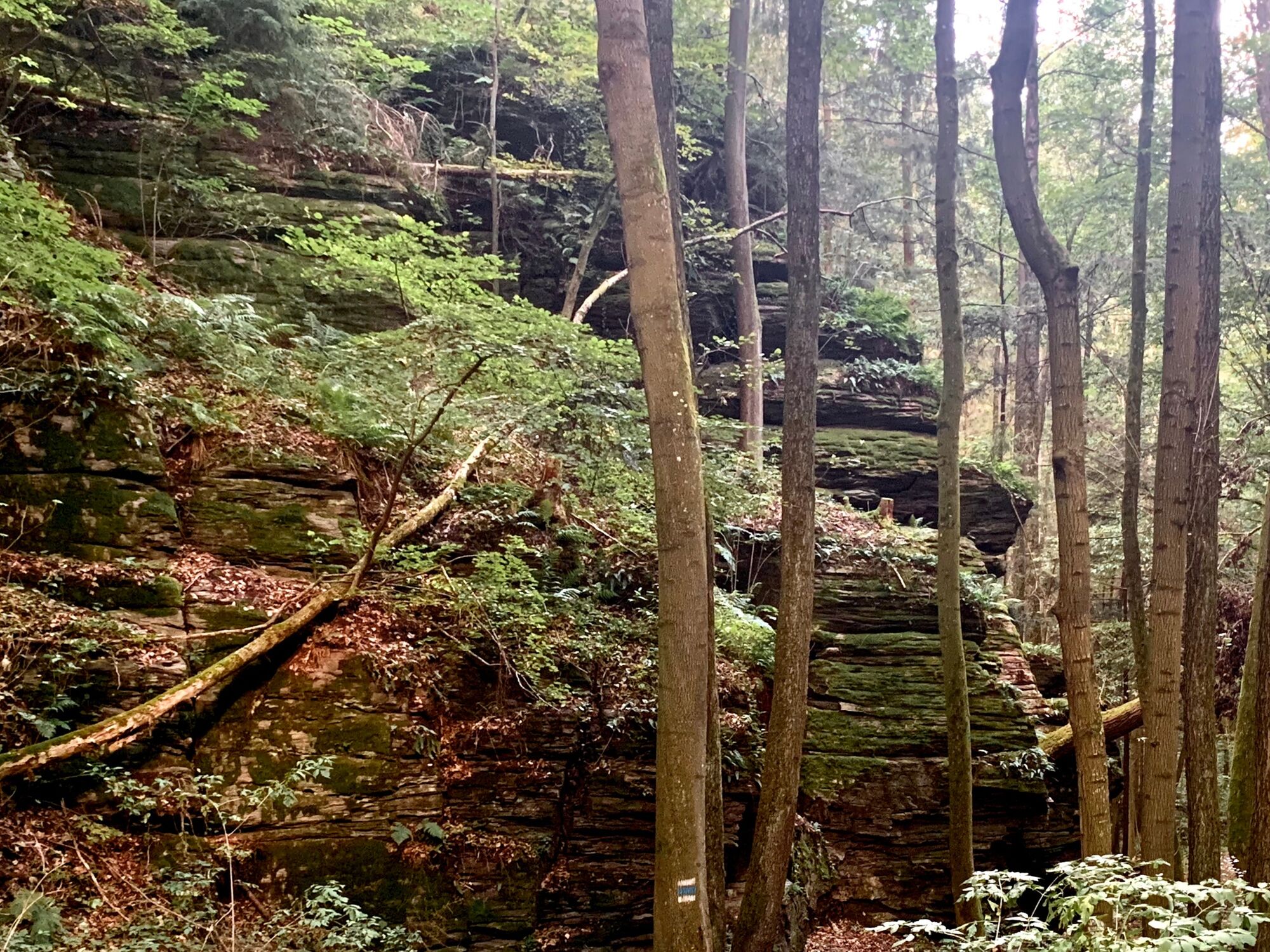
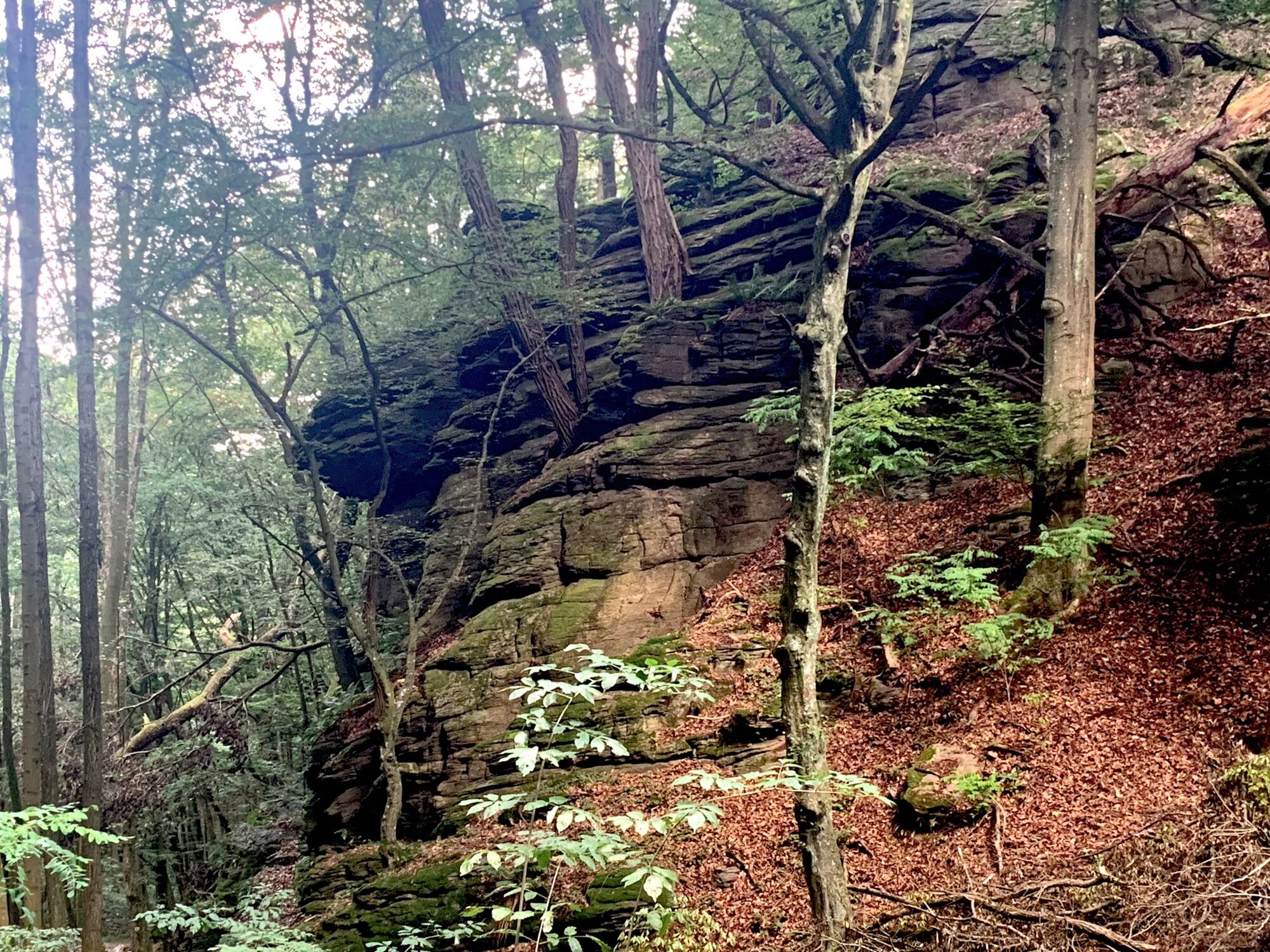
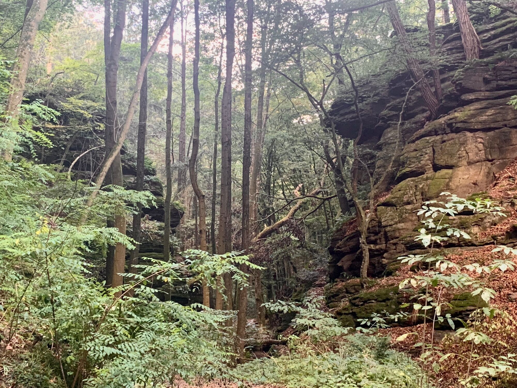
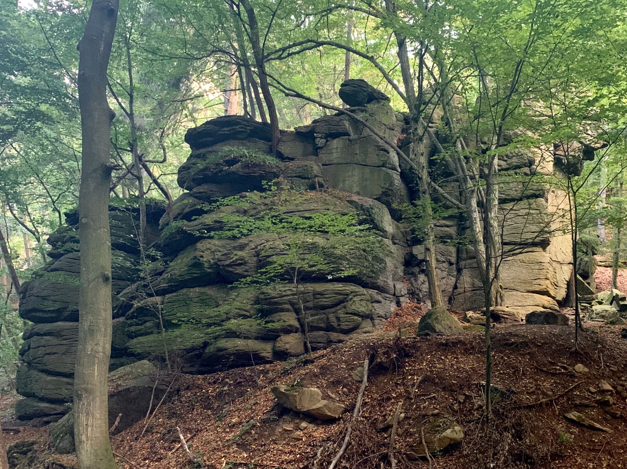
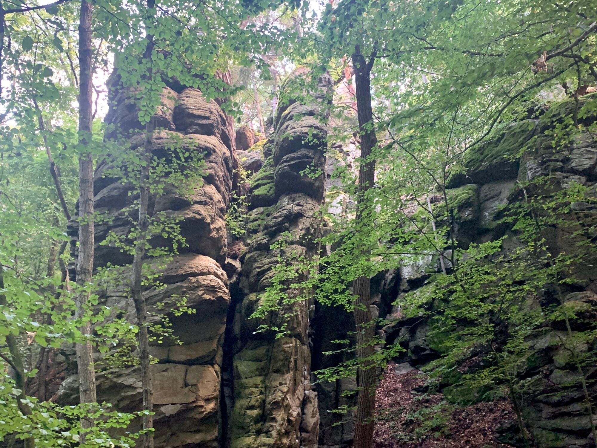
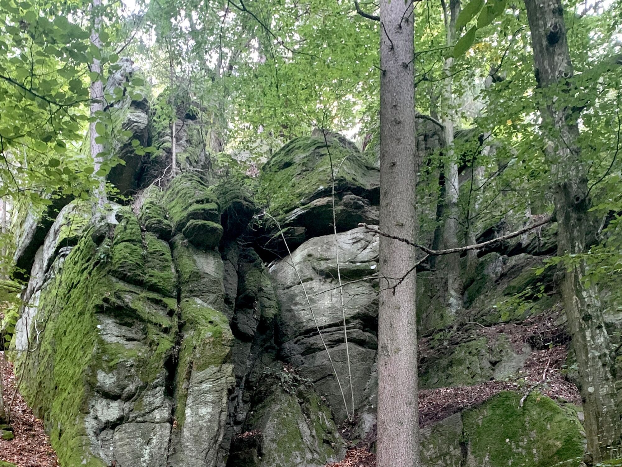
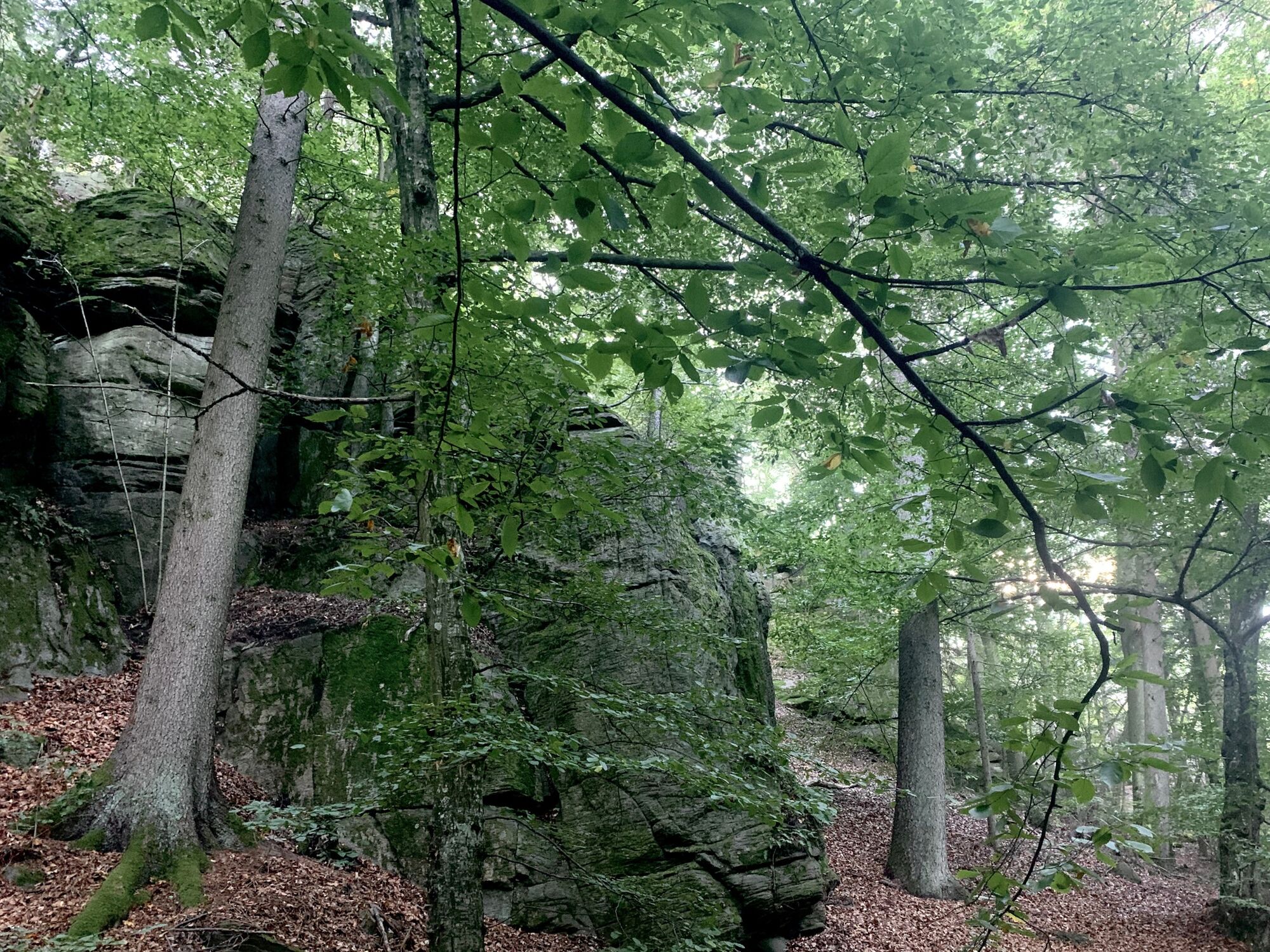
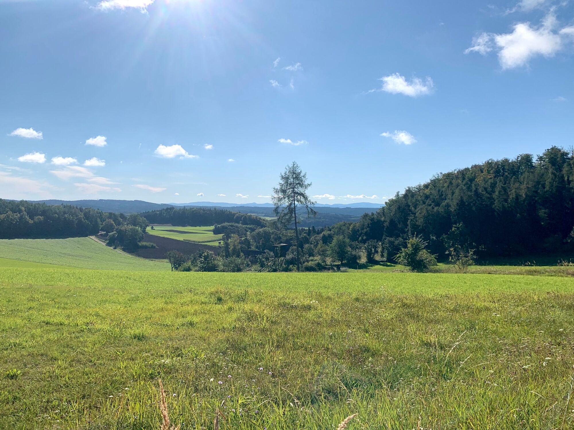
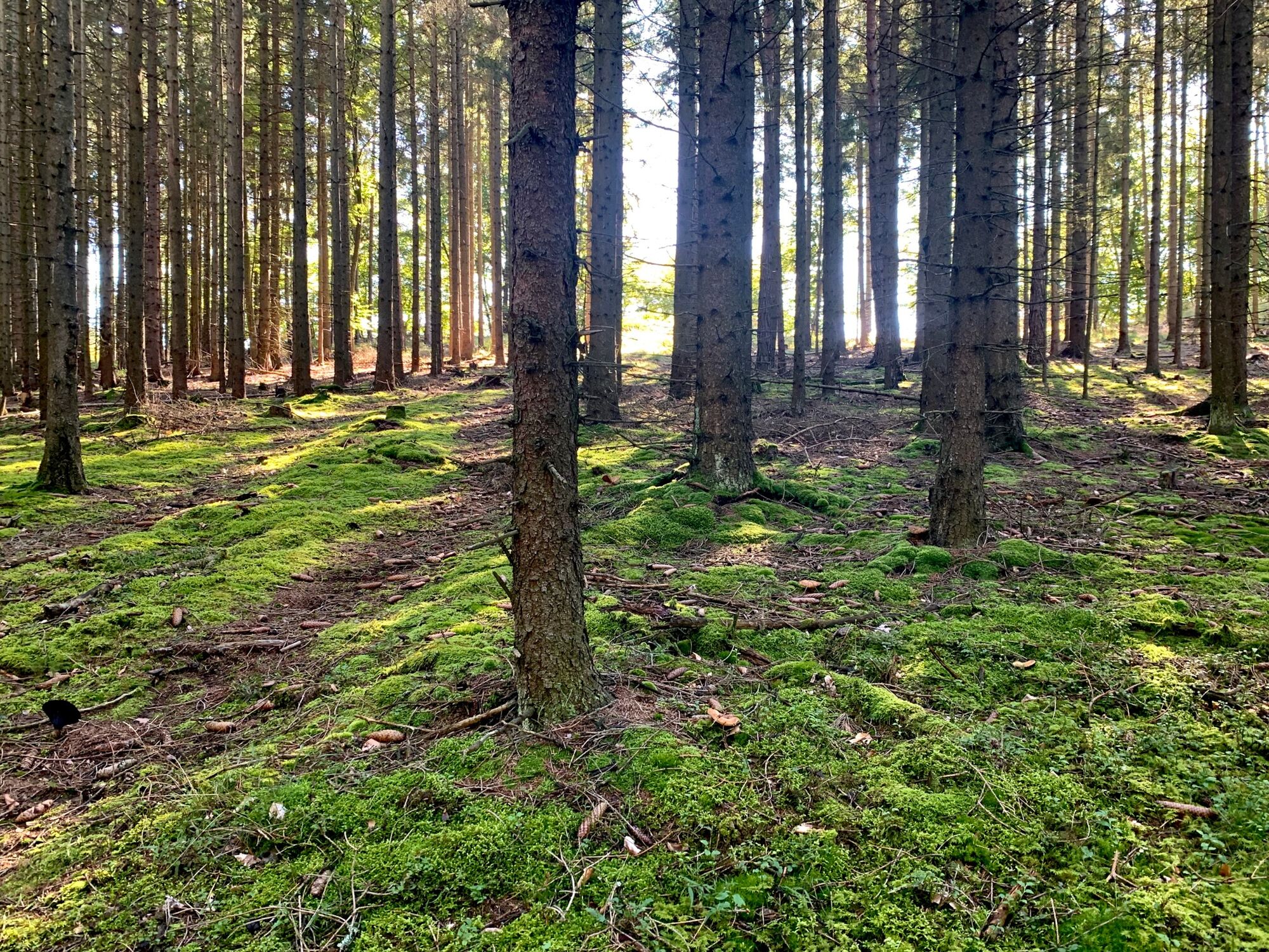
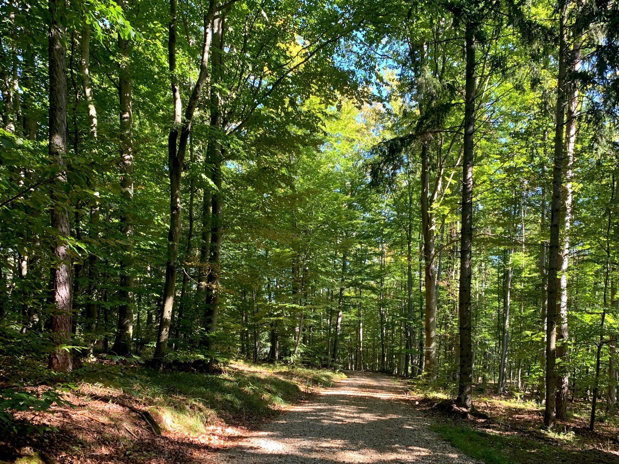
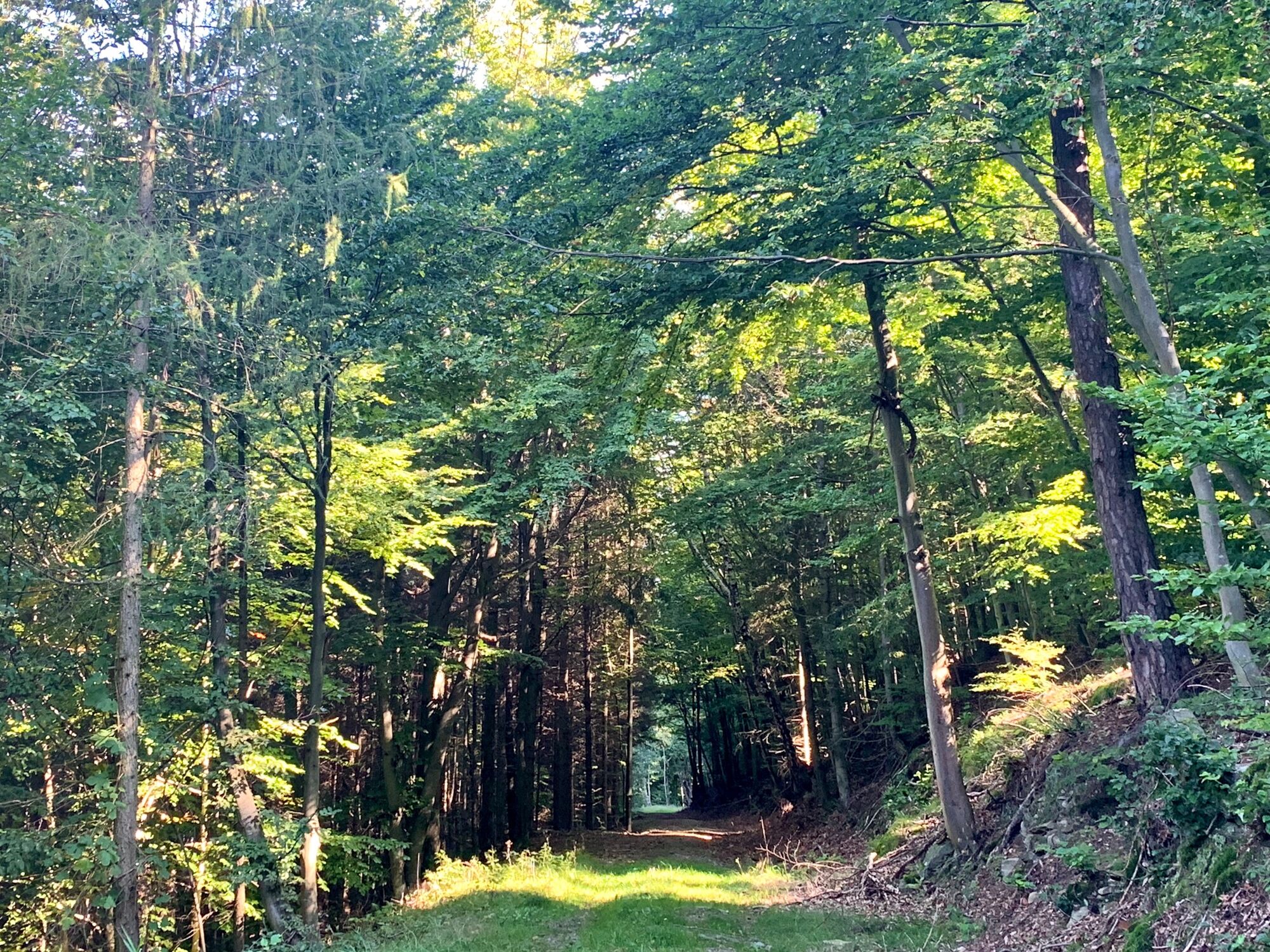
From Bacharnsdorf on a rocky ridge with a beautiful view of the Danube to the Seekopf. Back through the copper valley covered with bizarre rocks.
- Difficoltà
-
difficile
- Valutazione
-
- Percorso
-
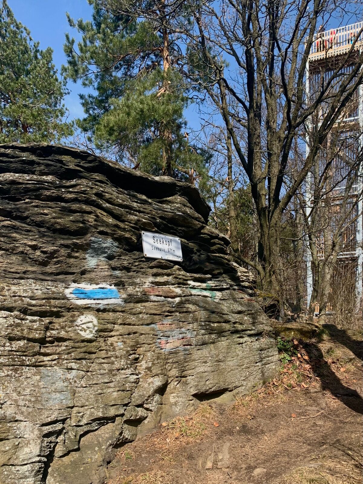
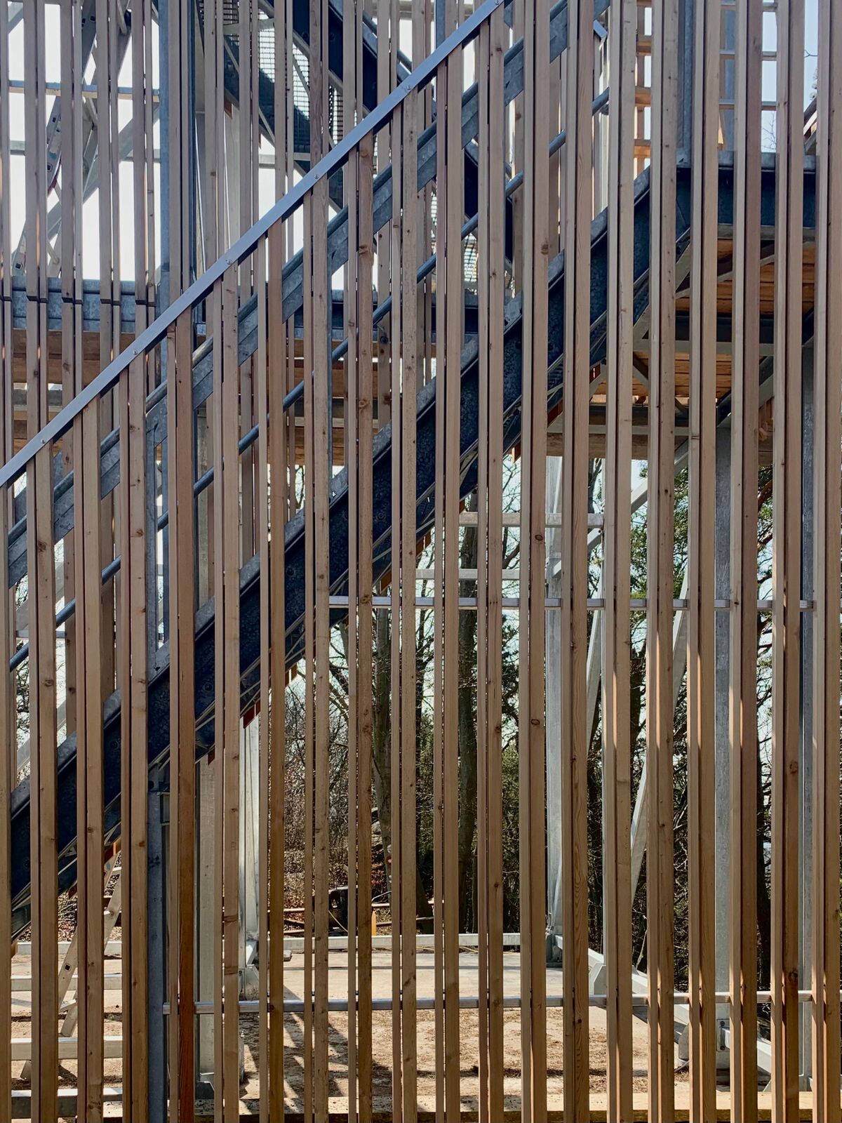
BacharnsdorfArnsdorfer Halbhöhle0,5 kmSonnstein (557 m)2,4 kmSeekopf (671 m)3,1 kmSeekopfwarte3,1 kmHerrnplatzl4,9 kmBacharnsdorf11,7 km
- La stagione migliore
-
genfebmaraprmaggiulugagosetottnovdic
- Punto più alto
- 668 m
- Destinazione
-
Bacharnsdorf
- Profilo altimetrico
-


-
-
AutoreIl tour Seekopf via Stoa Steig Karl è utilizzato da outdooractive.com fornito.
GPS Downloads


Info generali
Suggerimento
Promettente
Altri tour nelle regioni


