© Unbekannt - Eva Schwaigerlehner
- Descrizione rapida
-
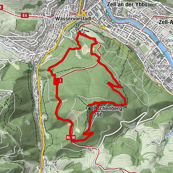
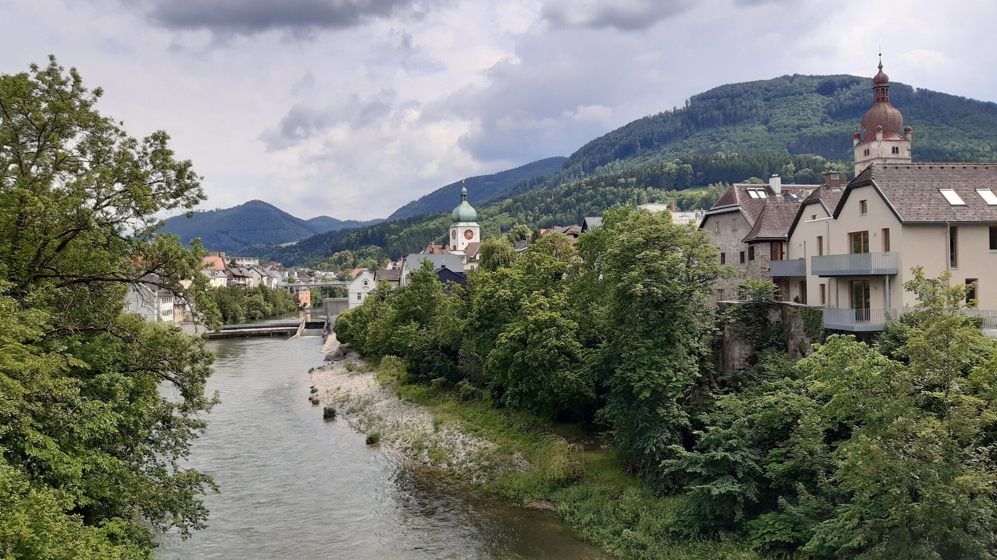
Am Höhenrundweg entlang einmal rund um den Buchenberg und zur Oberen Buchenbergkapelle. Herrlicher Ausblick auf die Stadt Waidhofen und die Basilika Sonntagberg.
- Difficoltà
-
intermedio
- Valutazione
-
- Percorso
-
Waidhofen an der YbbsÖtscherblick2,2 kmObere Buchenbergkapelle2,5 kmBuchenberg (790 m)2,5 kmWirts4,1 kmWasservorstadt5,7 kmWaidhofen an der Ybbs6,1 kmWasservorstadt6,1 km
- La stagione migliore
-
genfebmaraprmaggiulugagosetottnovdic
- Punto più alto
- 769 m
- Destinazione
-
Naturparkhaus Buchenberg
- Profilo altimetrico
-

- Autore
-
Il tour TUT GUT Wanderroute 2 Waidhofen/Ybbs è utilizzato da outdooractive.com fornito.
GPS Downloads


Info generali
Punto di ristoro
Flora
Promettente
Altri tour nelle regioni
-
Mostviertel
2451
-
Melker Alpenvorland
796
-
Waidhofen an der Ybbs
261