


Dati percorsi
15,35km
272
- 560m
820hm
820hm
04:06h
- Descrizione rapida
-
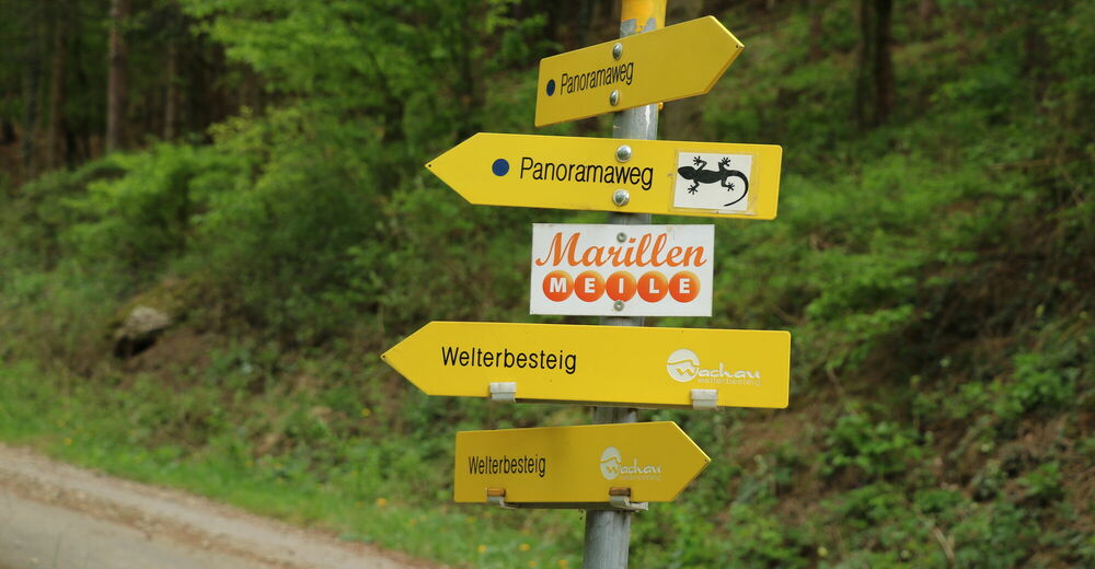
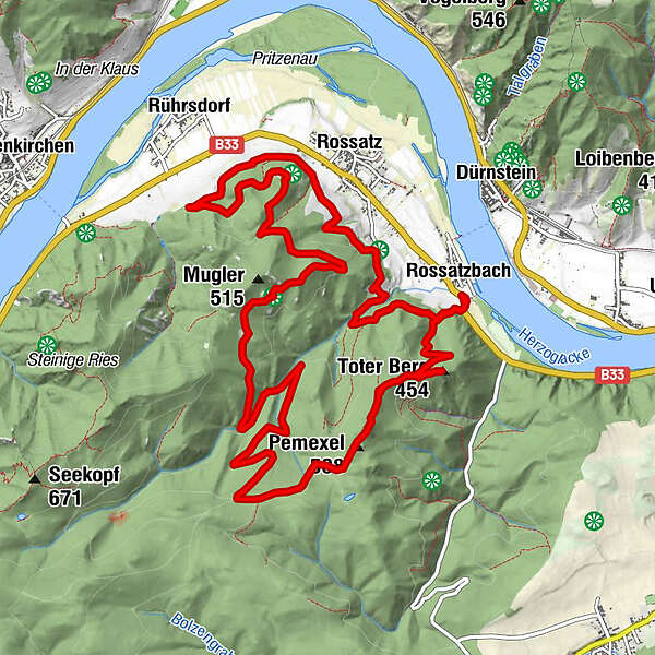
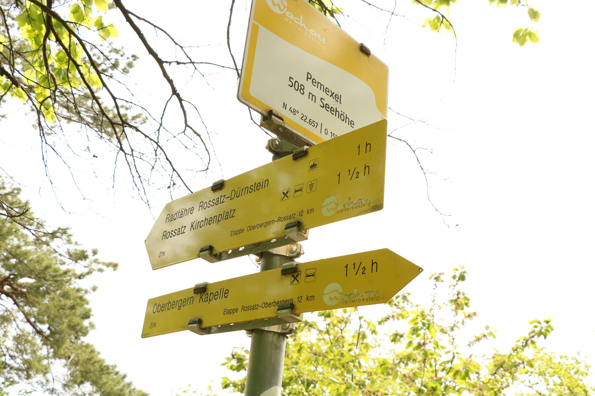
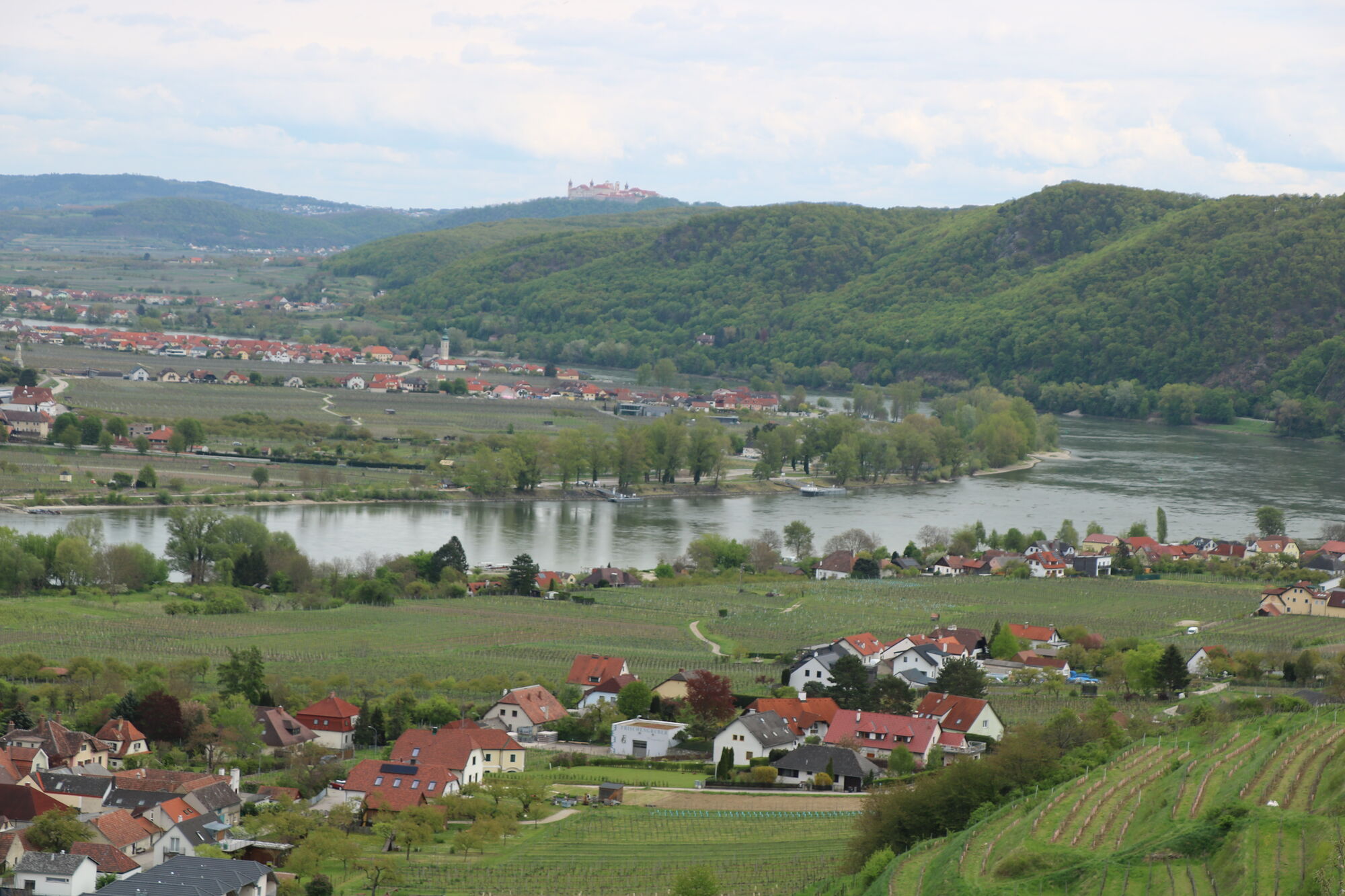
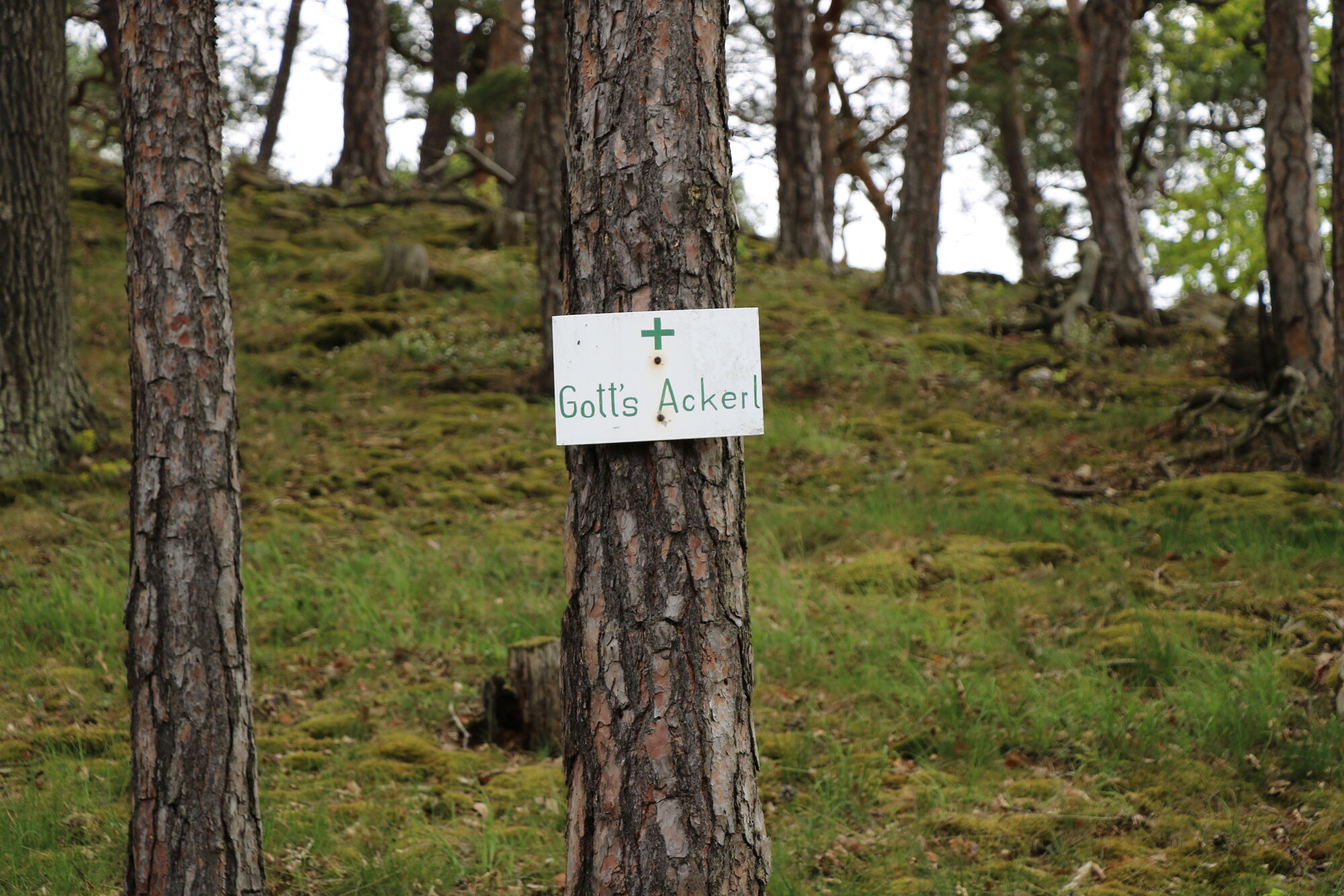
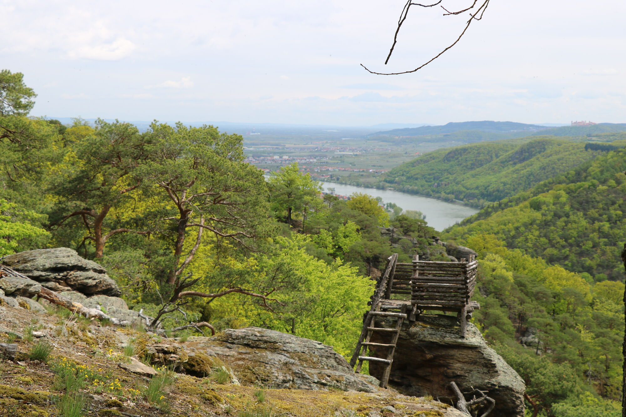
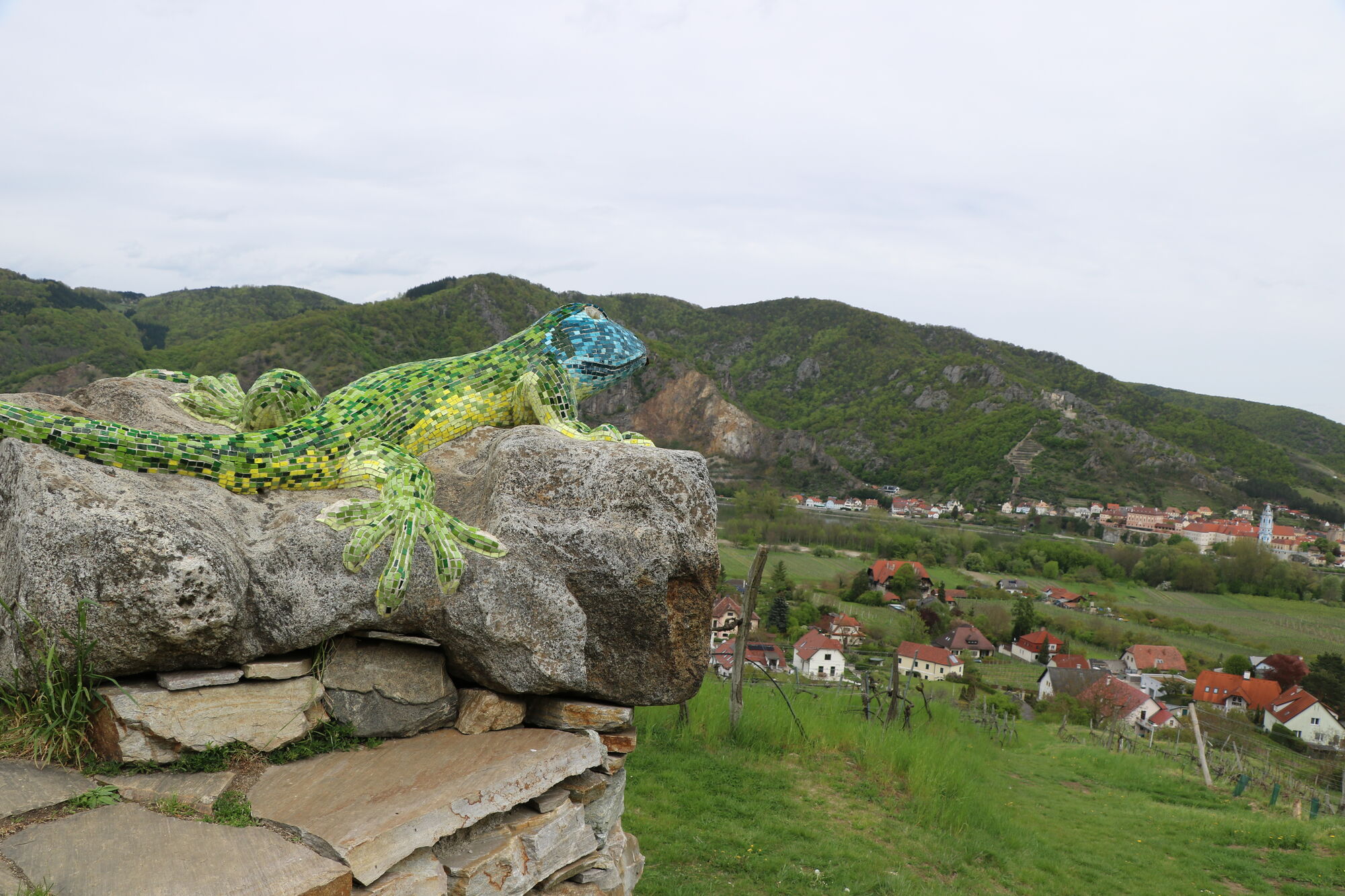
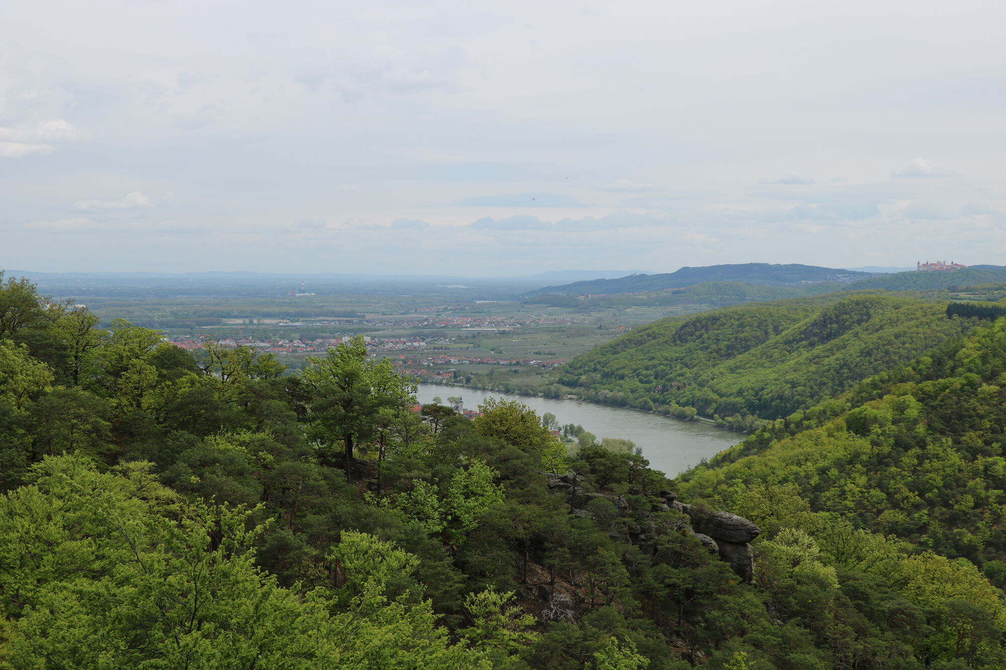
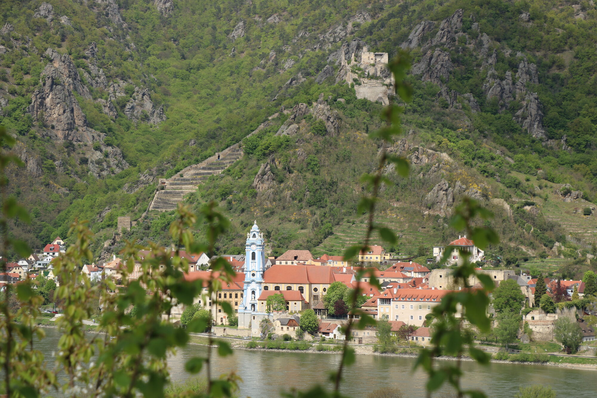
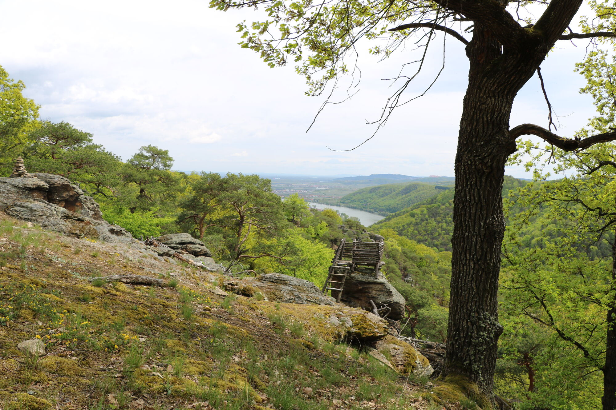
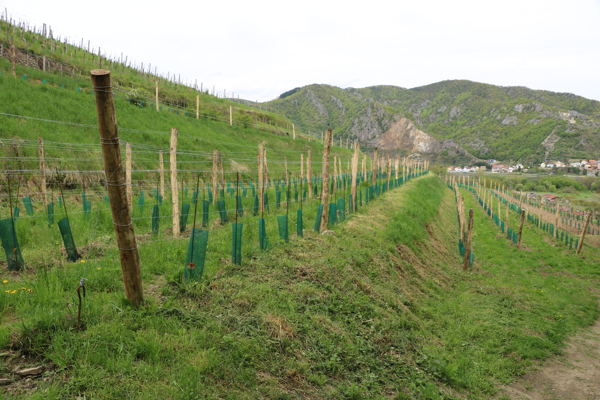
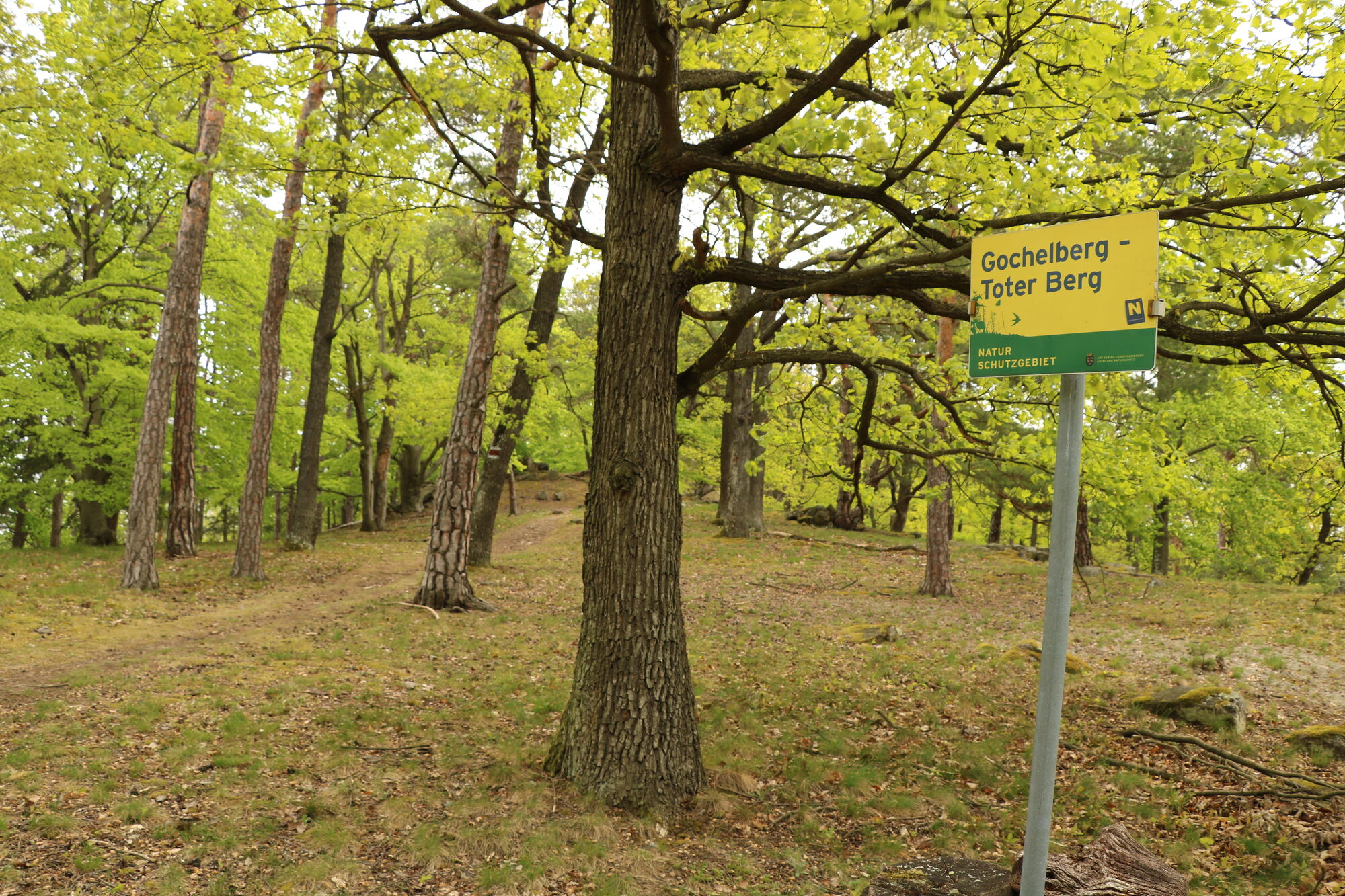
Rossatzbach - Toter Berg - Pemexel - Rote Kreuz - Seegraben - Mugler - Panoramaweg Rossatz
- Difficoltà
-
intermedio
- Valutazione
-
- Punto di partenza
-
Schiffstation Rossatzbach. Parkplatz neben Straße vor Campingplatz.
- Percorso
-
RossatzbachToter Berg (454 m)1,5 kmPemexel (506 m)2,6 kmWaldandacht10,8 kmRossatz12,3 kmRossatzbach15,3 km
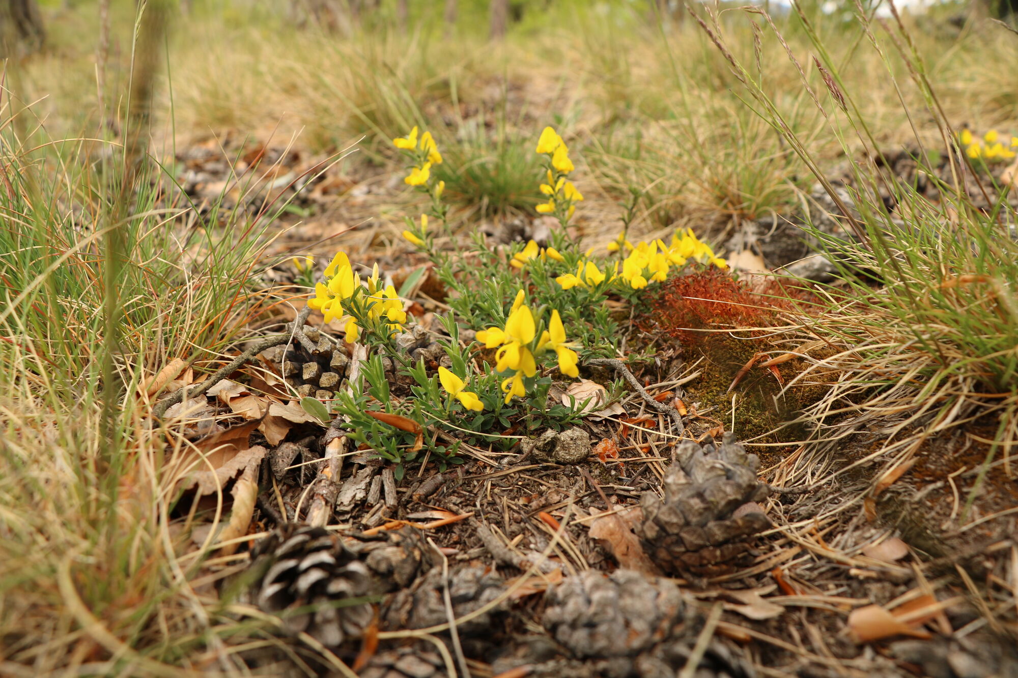
- La stagione migliore
-
genfebmaraprmaggiulugagosetottnovdic
- Punto più alto
- 560 m


- Link
- oberegger@kabsi.at
- Fonte
- Franz Oberegger / Melk
GPS Downloads


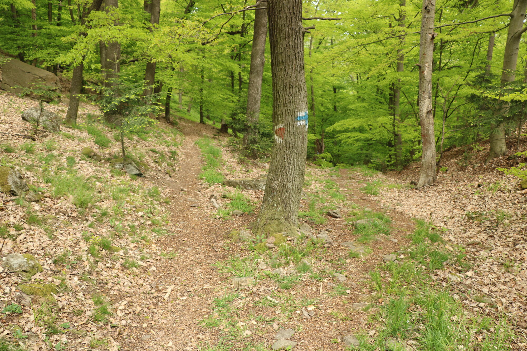
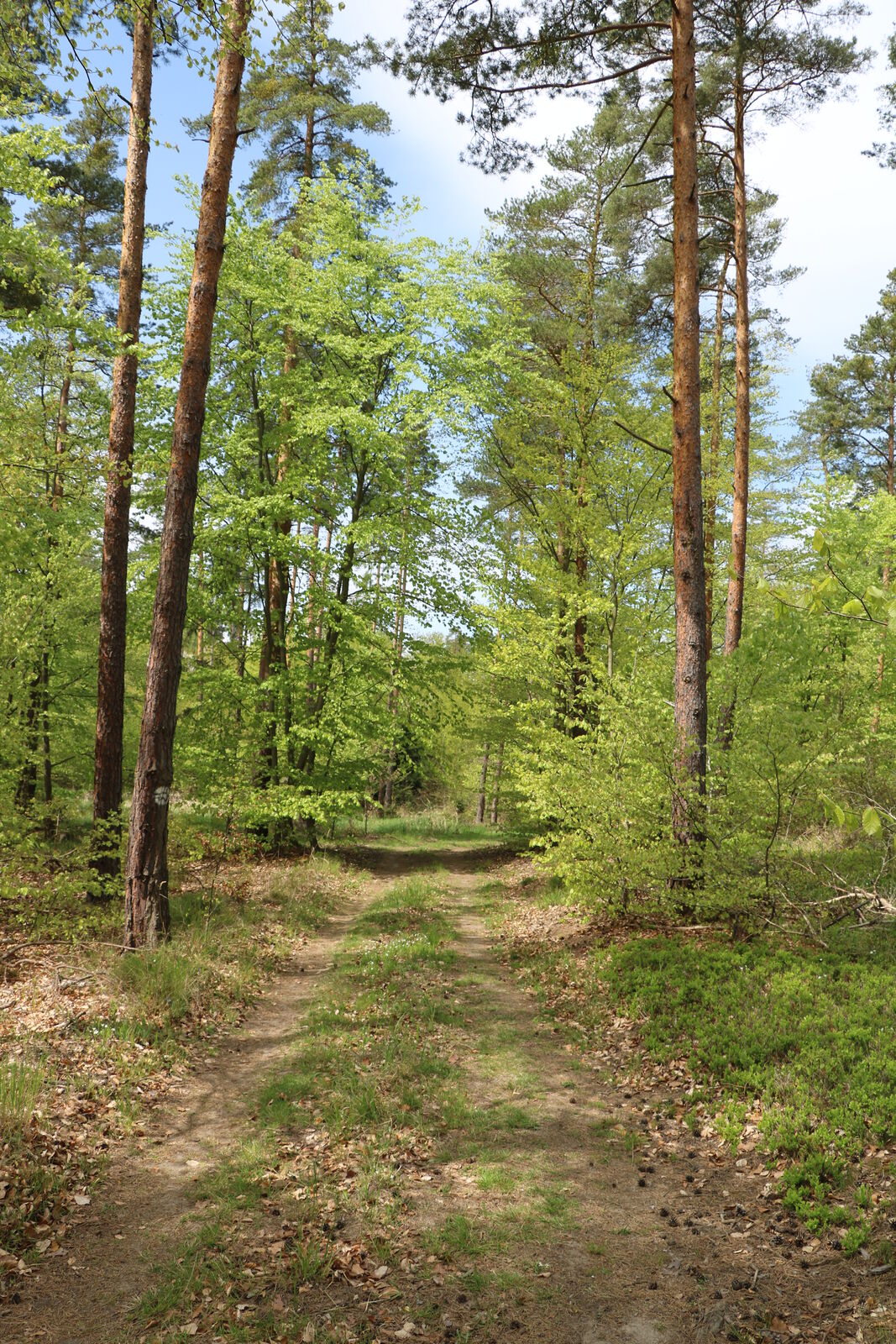
Condizioni dei sentieri
Asfalto
Ghiaia
Prato
Foresta
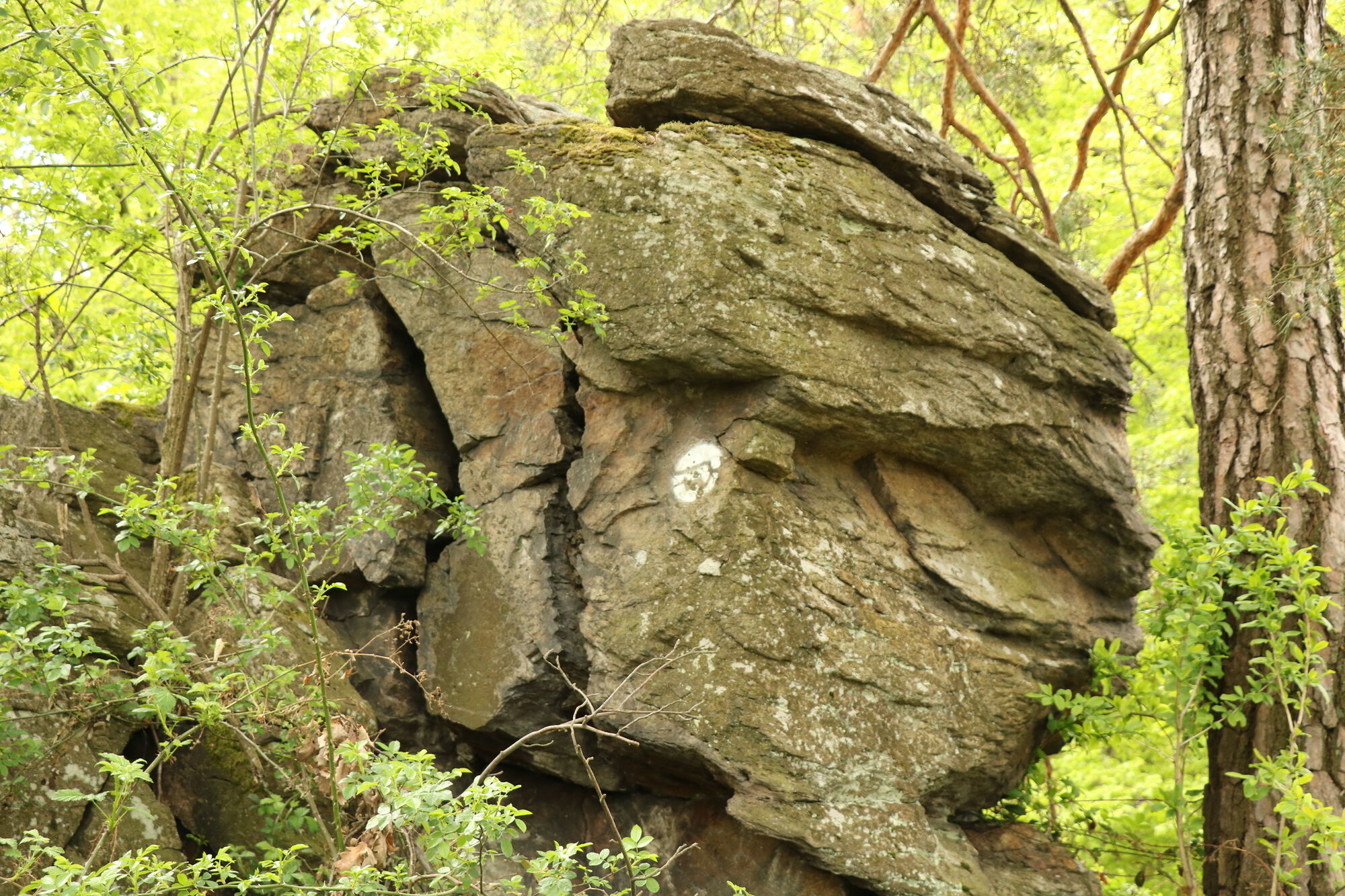
Roccia
Esposta
Altri tour nelle regioni
-
Donau Niederösterreich
2287
-
Dunkelsteinerwald
1373
-
Rossatz-Arnsdorf
714


