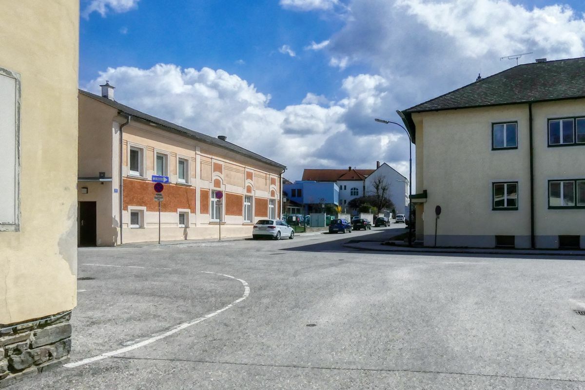
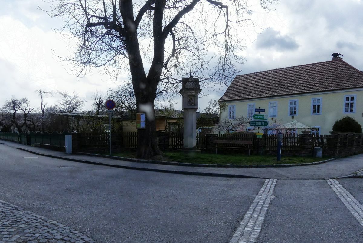
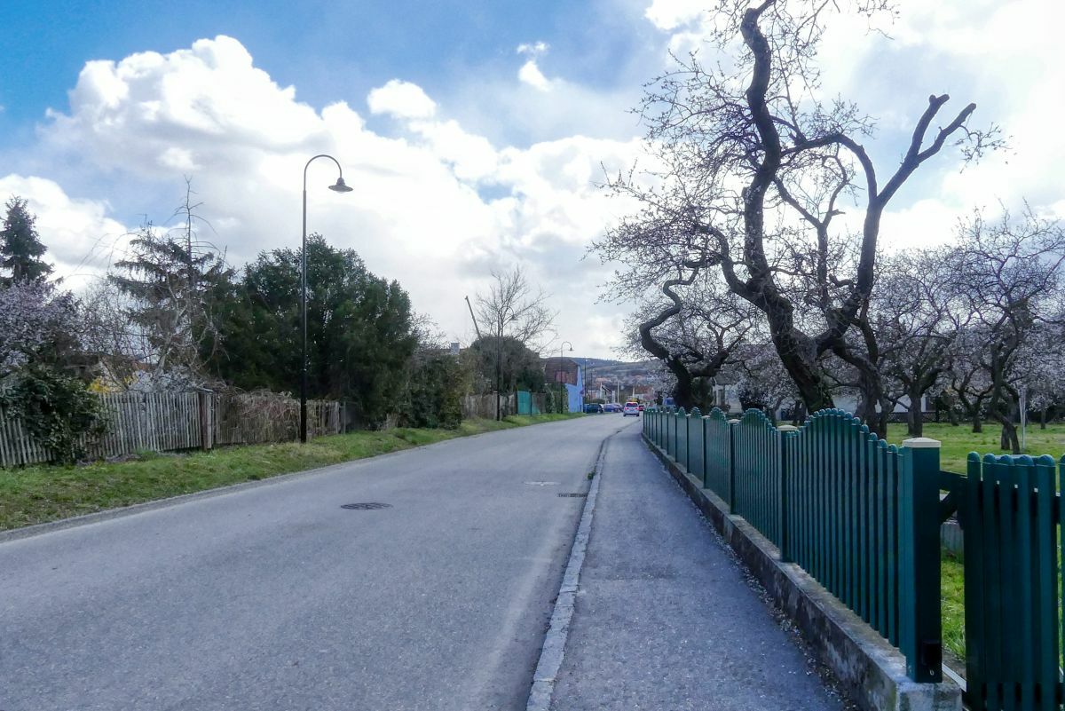
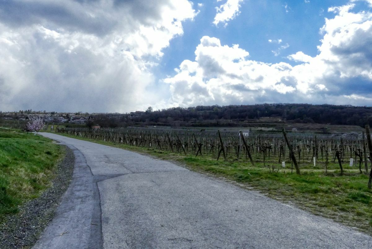
Von Mautern zum Schloss Baumgarten und zurück

Escursionismo


Dati percorsi
4,87km
198
- 273m
64hm
60hm
01:15h
- Descrizione rapida
-
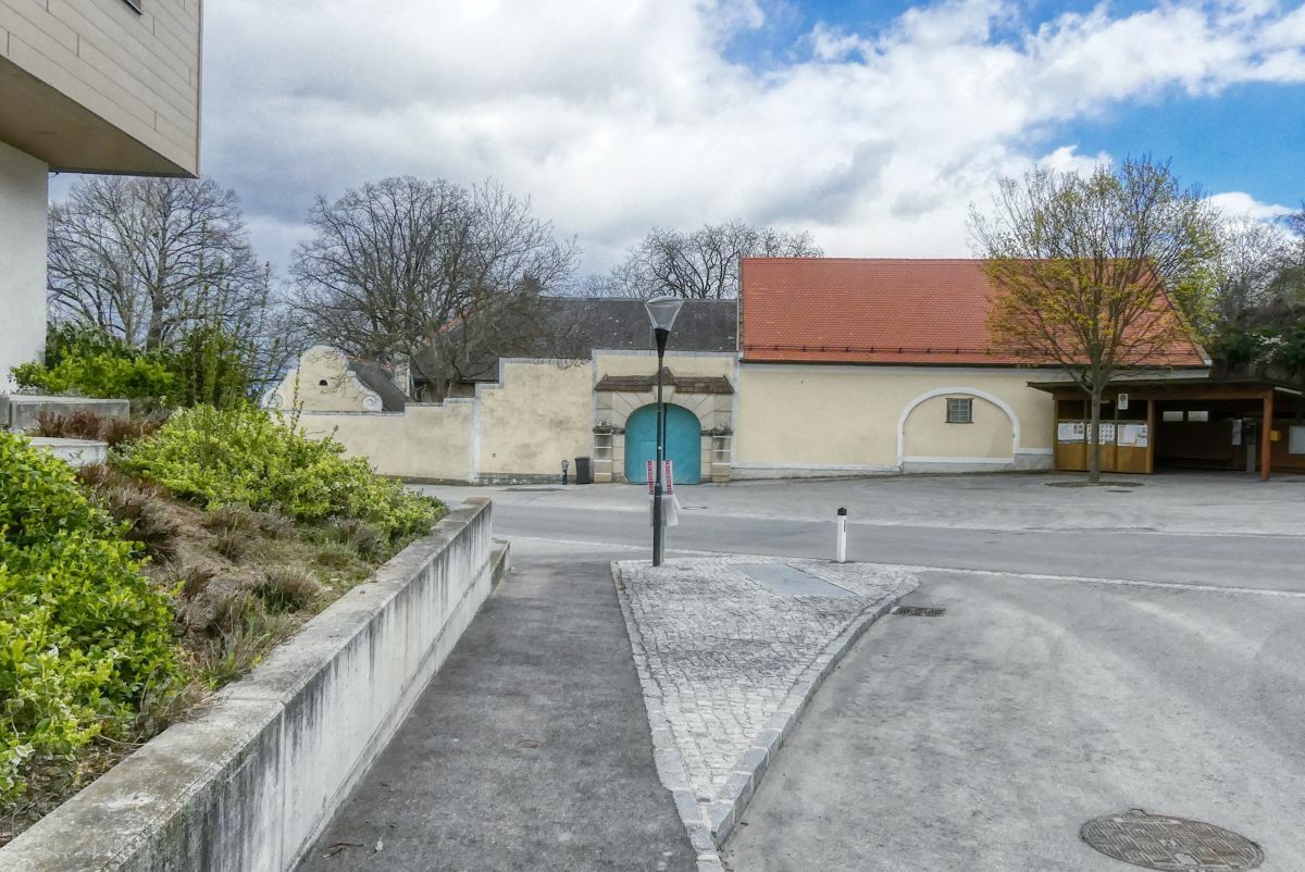
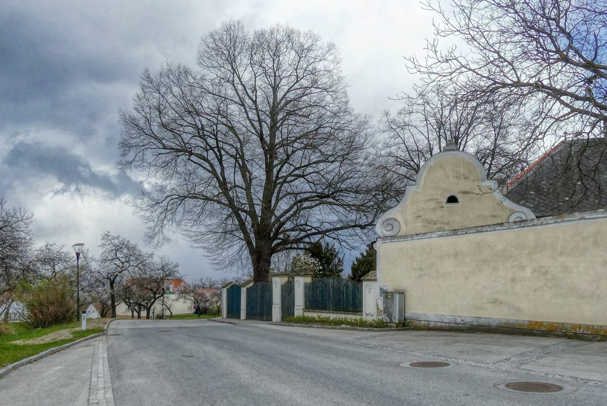
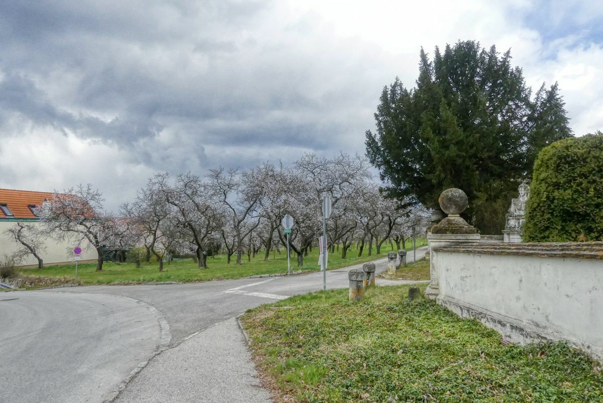
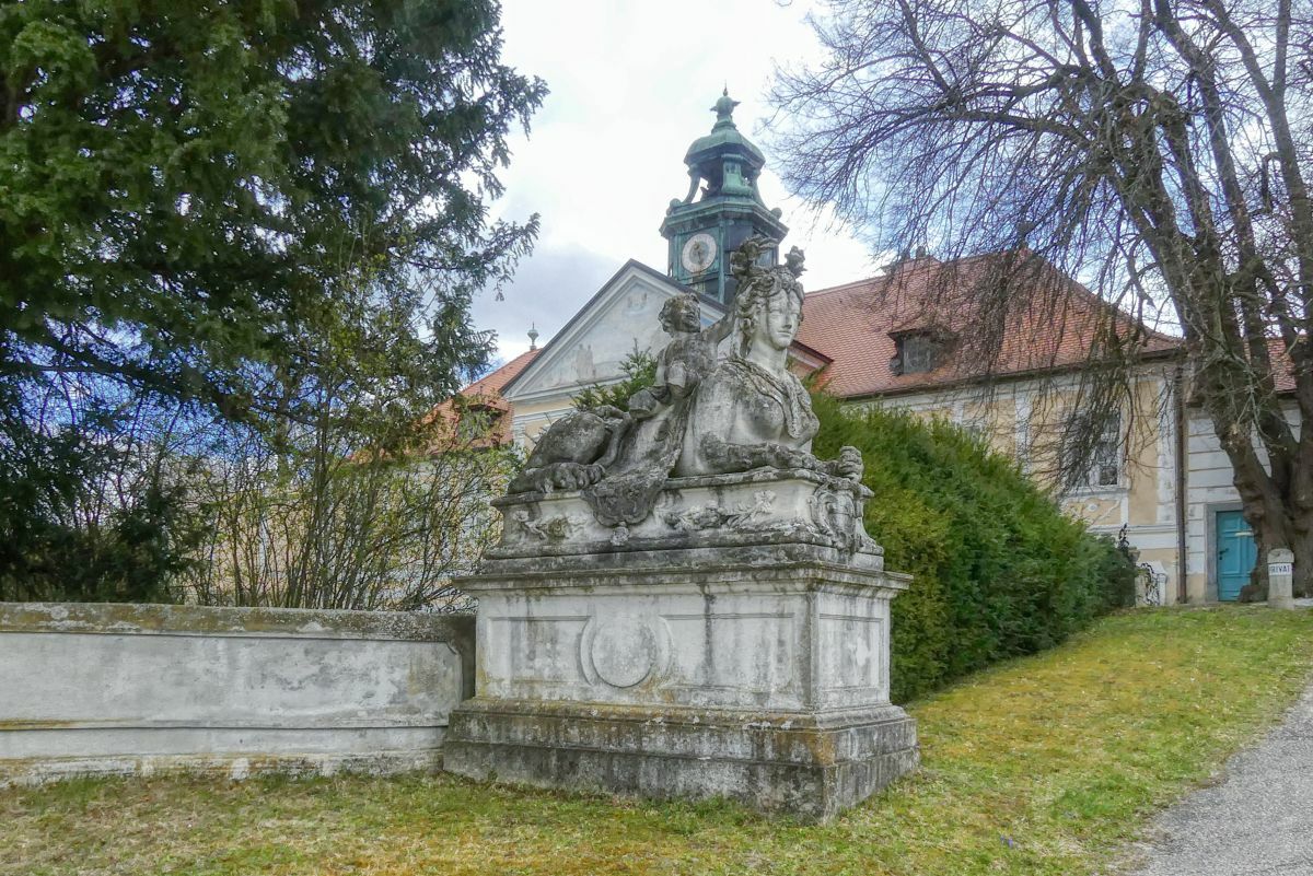
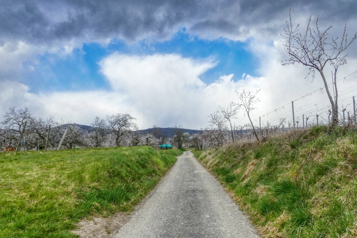
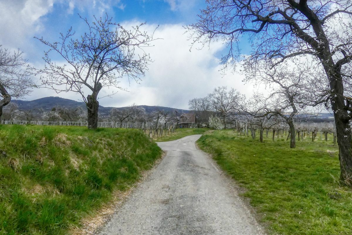
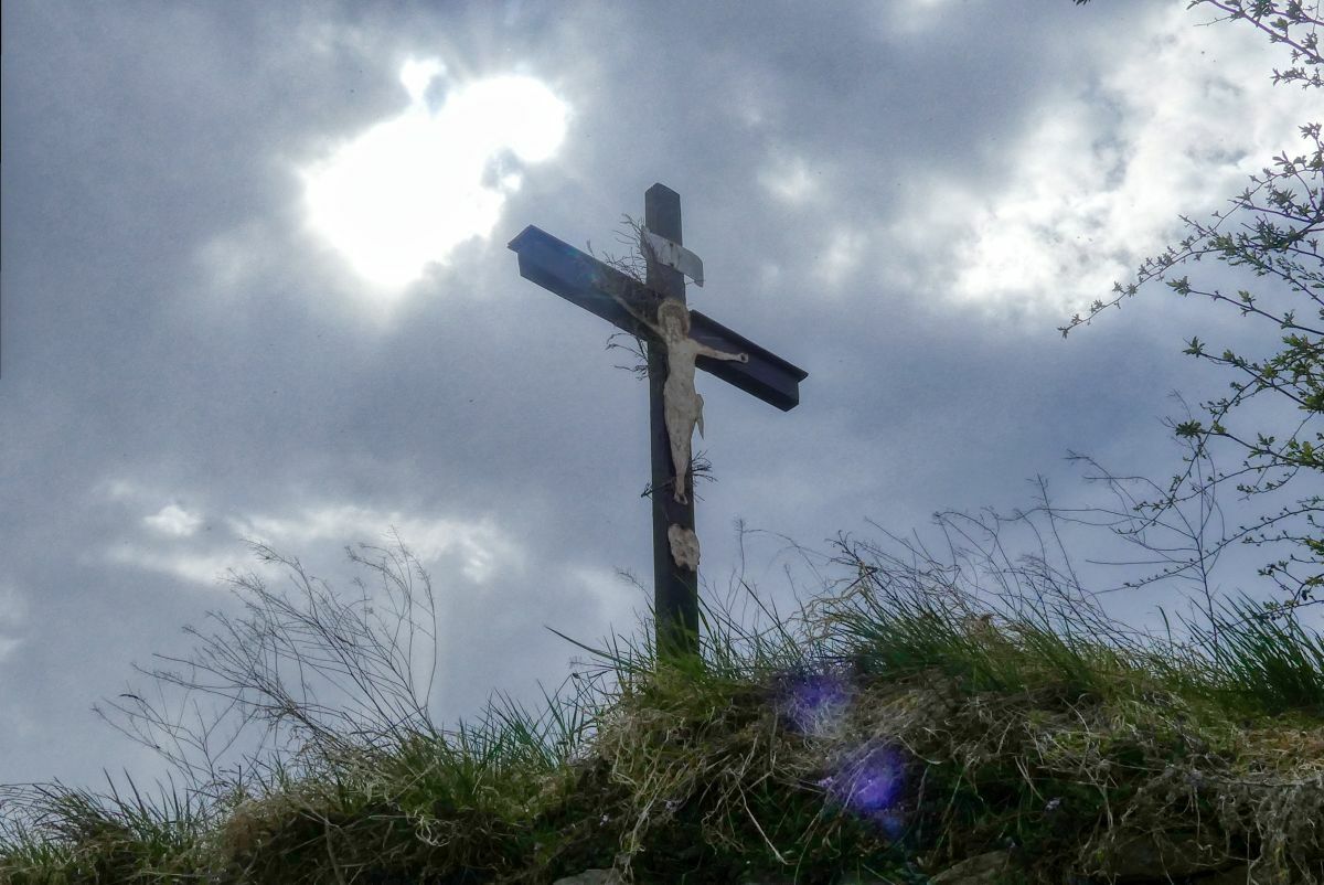
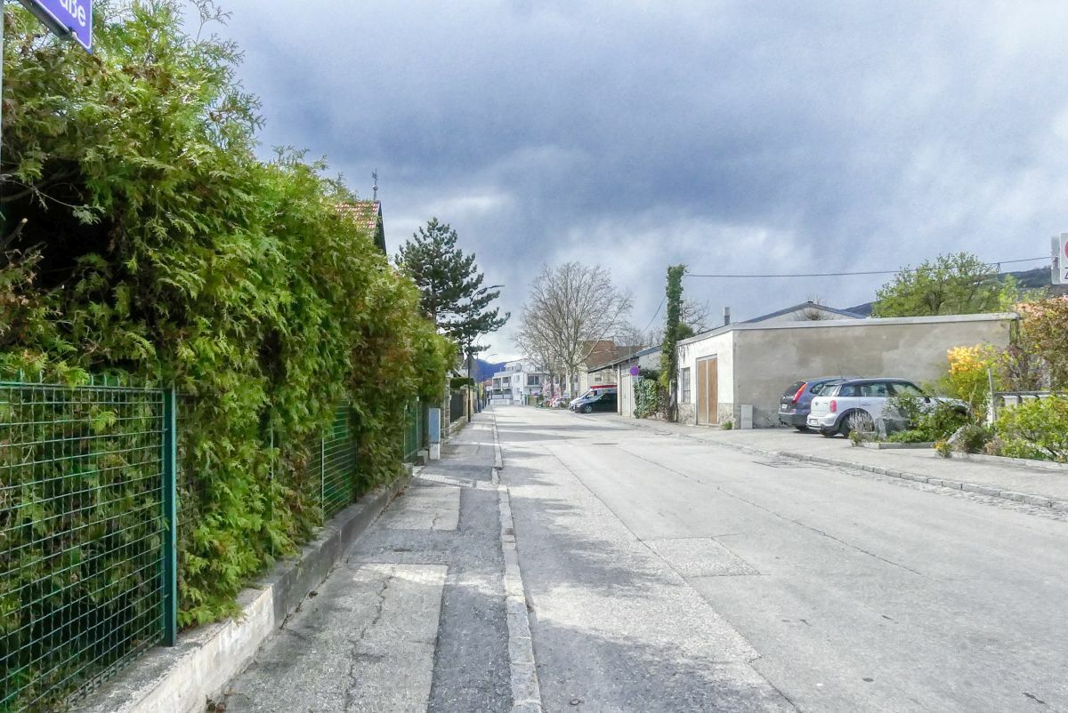
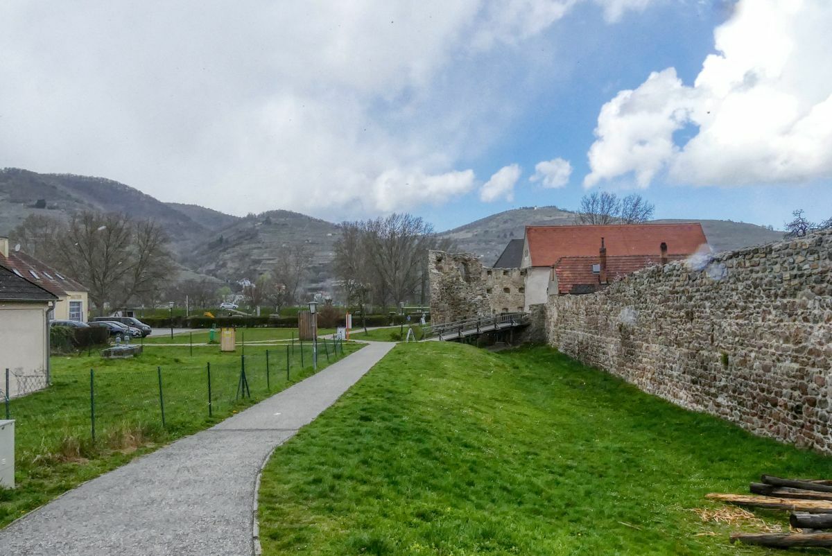
Eine fünf Kilometer lange Runde in der Römerstadt.
- Difficoltà
-
facile
- Valutazione
-
- Punto di partenza
-
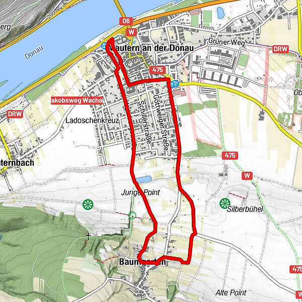
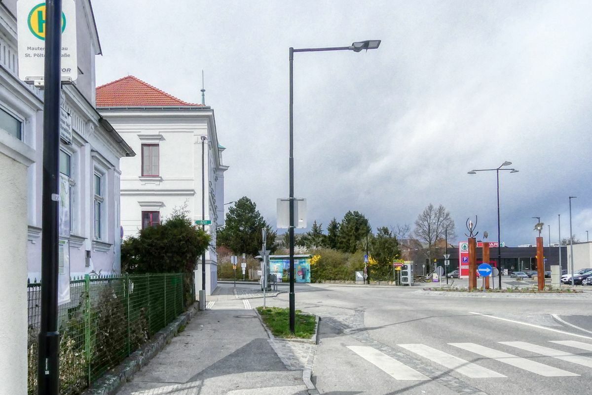
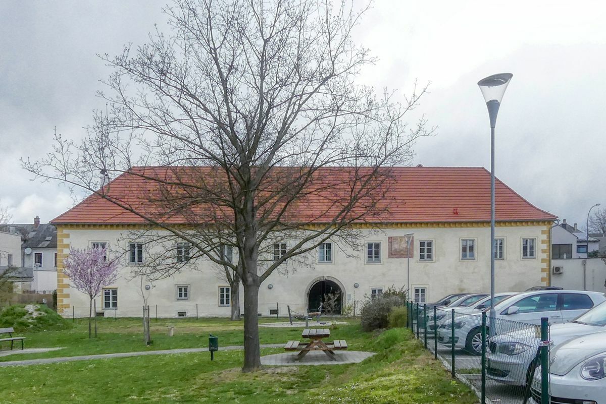
Römerhalle Mautern
- Percorso
-
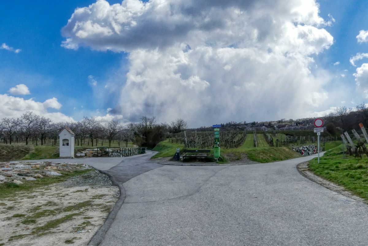
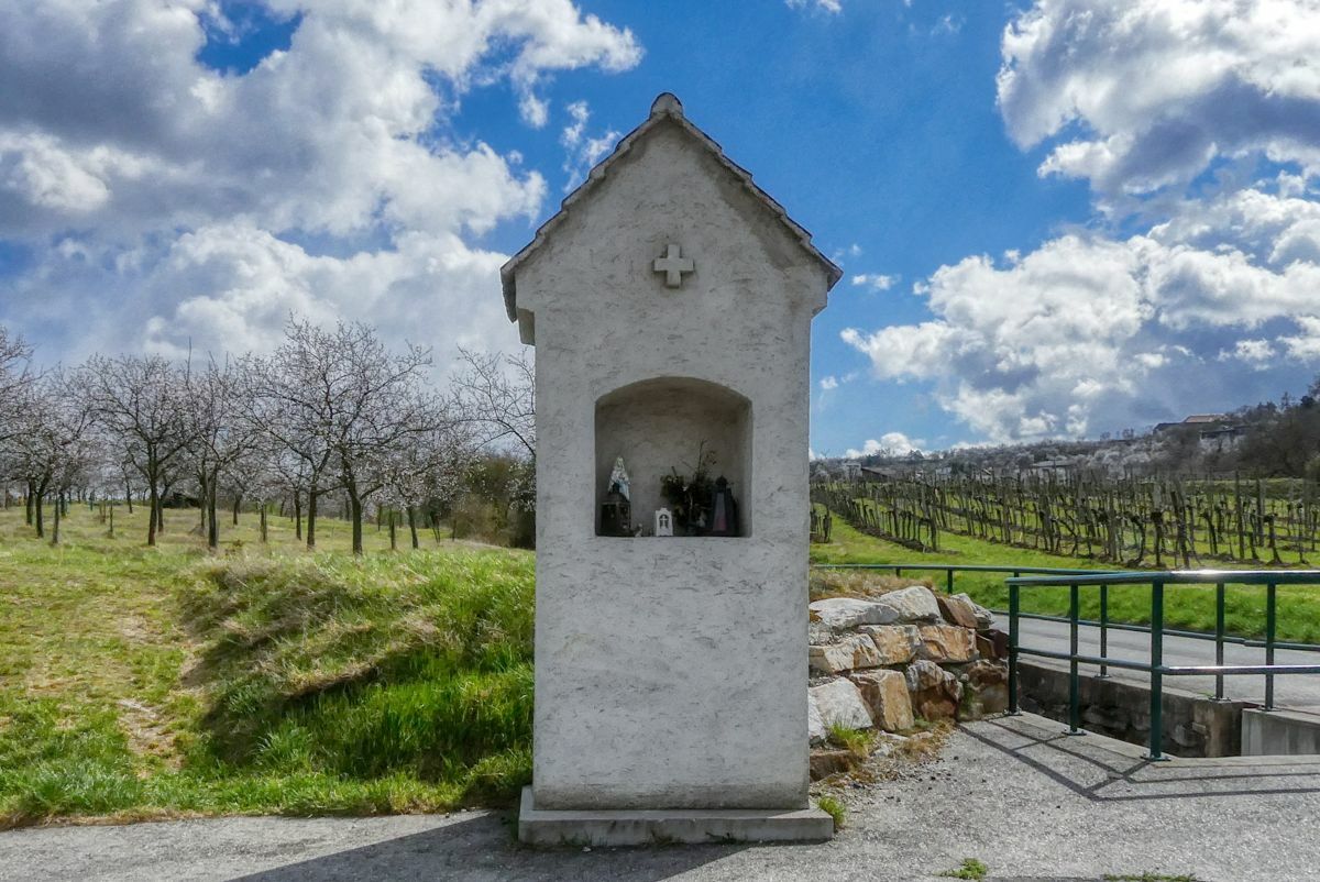
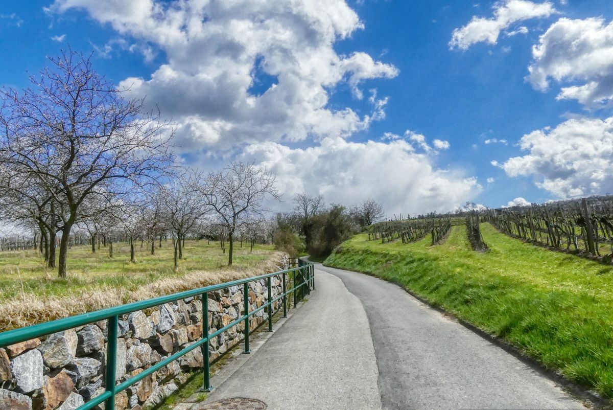
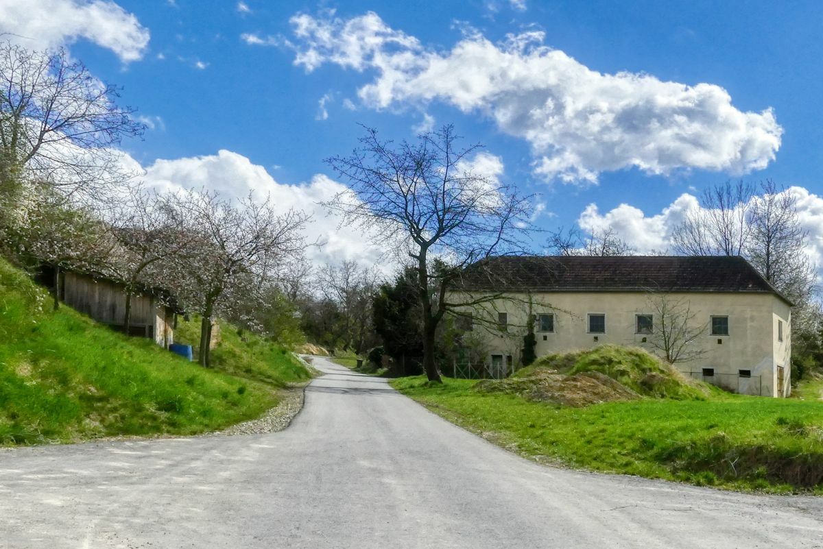
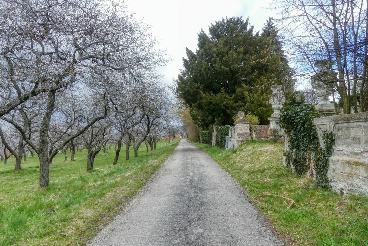
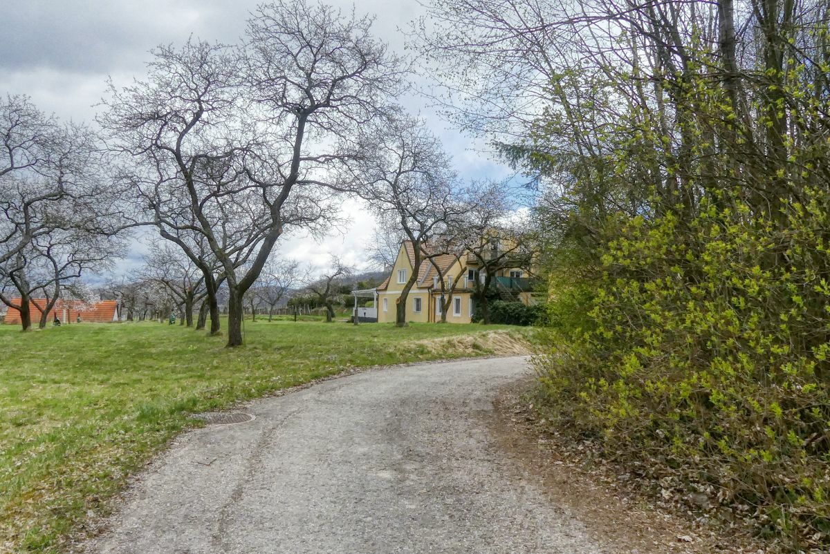
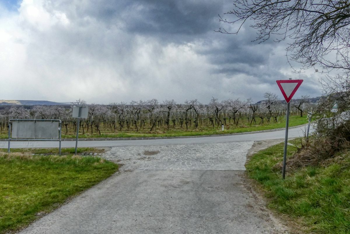
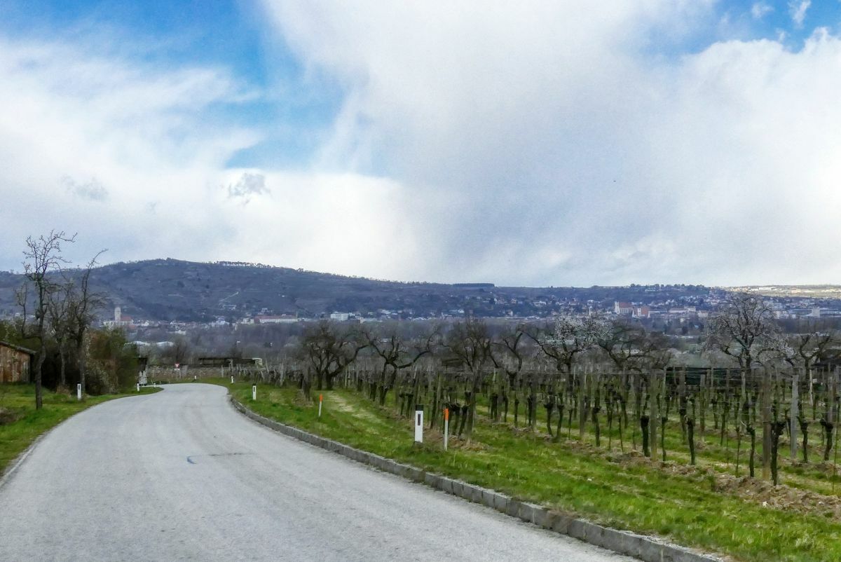
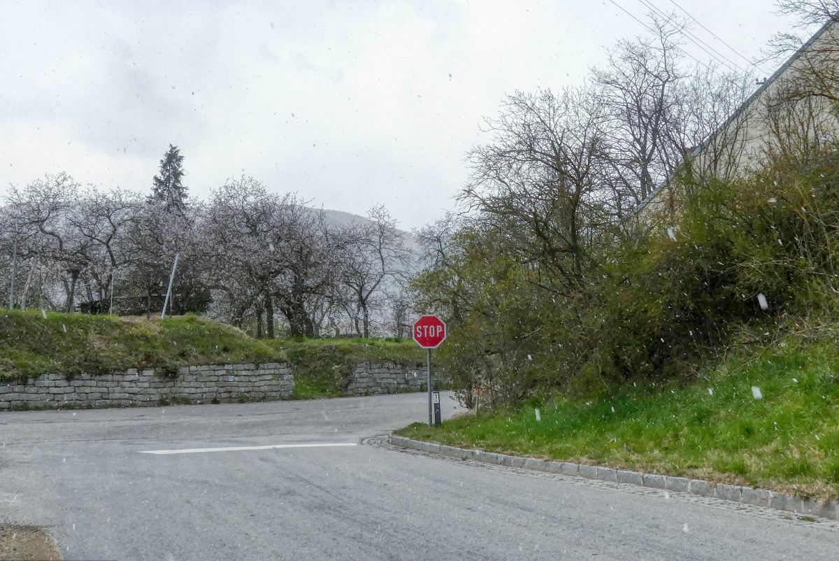
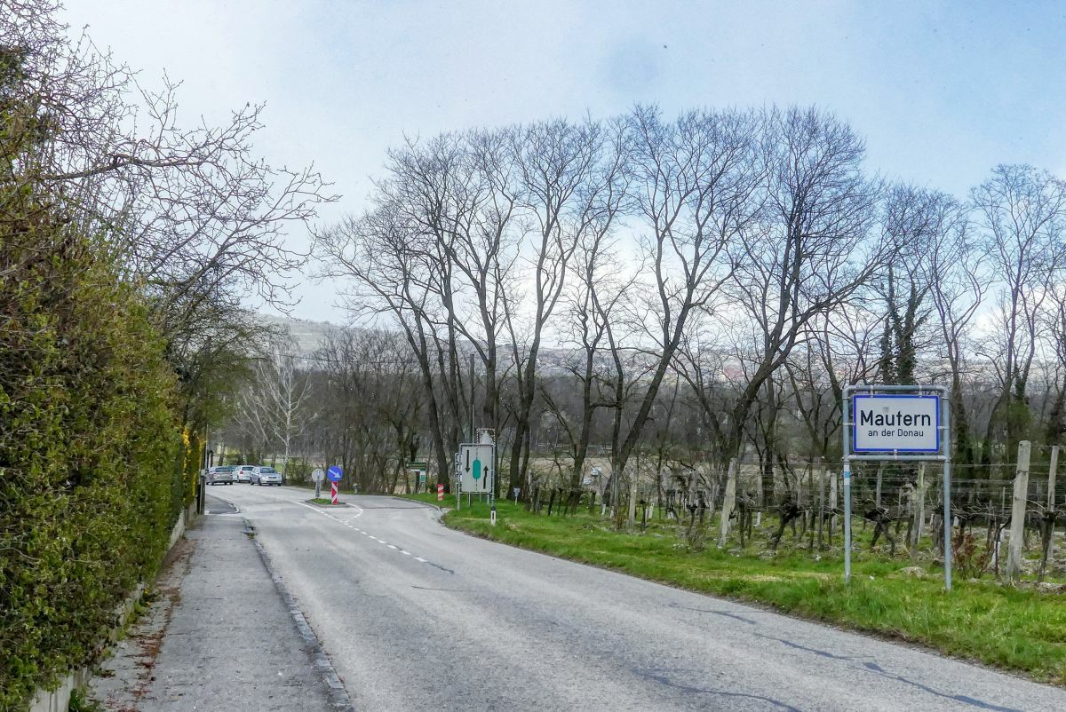
Mautern an der Donau0,3 kmBaumgarten2,0 kmMautern an der Donau4,1 km
- La stagione migliore
-
genfebmaraprmaggiulugagosetottnovdic
- Punto più alto
- 273 m
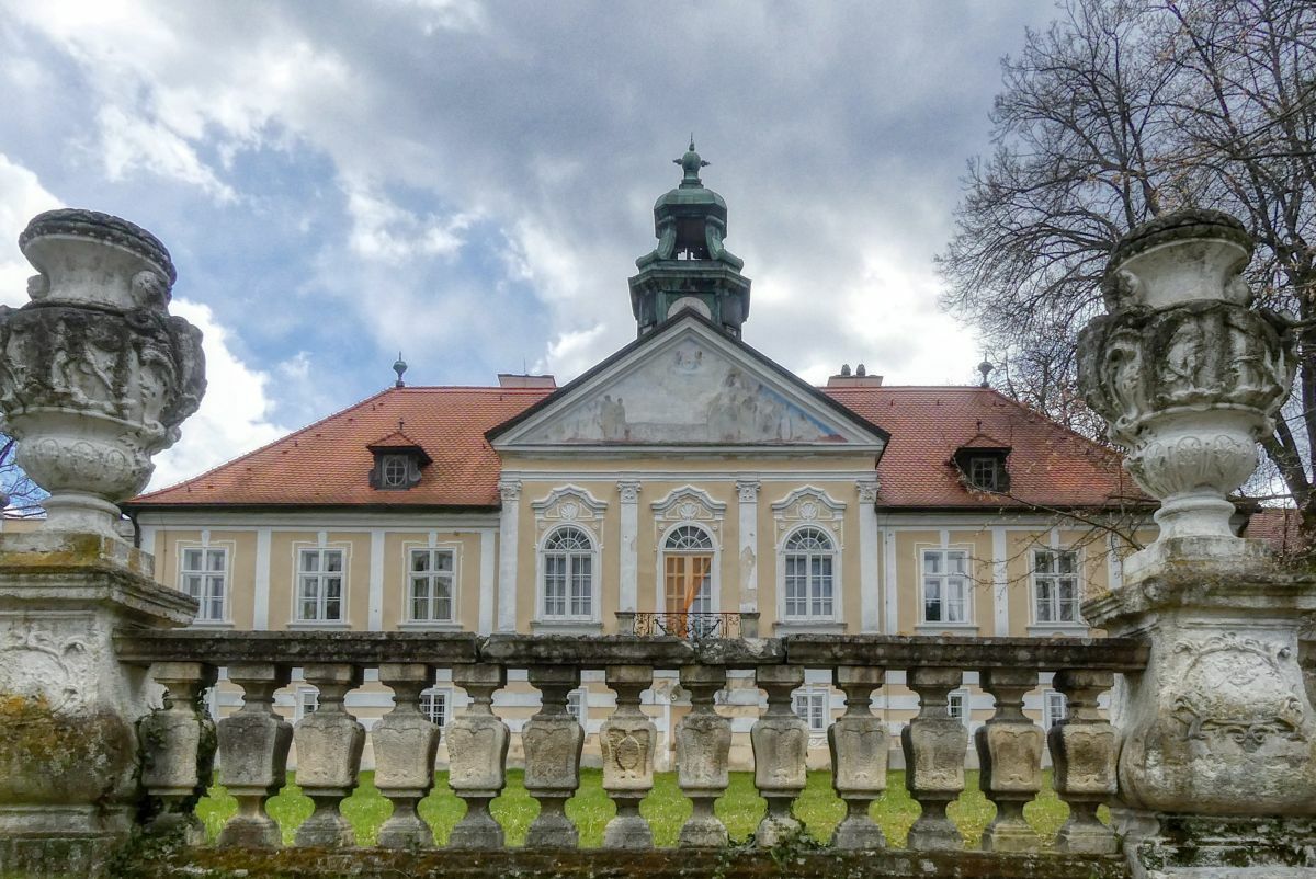
- Destinazione
-
Römerhalle Mautern
- Fonte
- Weinbergwandern.at
GPS Downloads


Condizioni dei sentieri
Asfalto
Ghiaia
Prato
Foresta
Roccia
Esposta
Altri tour nelle regioni
-
Donau Niederösterreich
2289
-
Dunkelsteinerwald
1373
-
Mautern an der Donau
697


