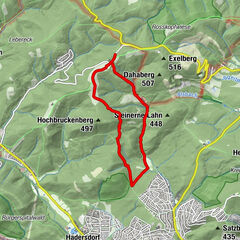
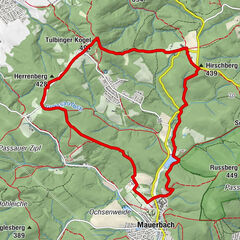
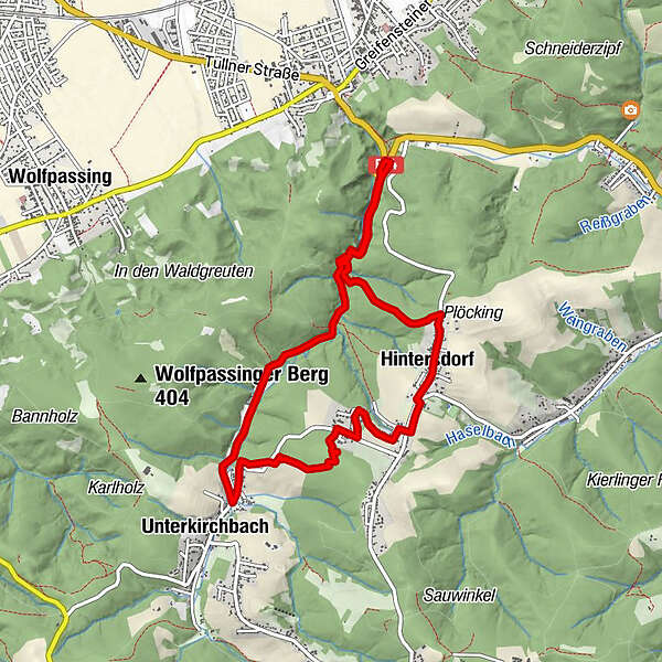
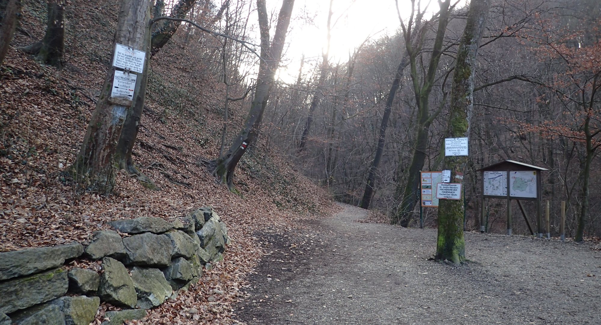
St. Andrä v. Hgt. Hagenbachklamm, Unterkirchbach, Hintersdorf, retour 25.12.2016

Escursionismo

© hel

© hel

© hel

© hel

© hel

© hel

© hel

© hel

© hel

© hel
Dati percorsi
8,8km
241
- 383m
220hm
220hm
02:30h
- Descrizione rapida
-
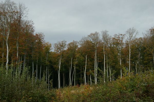
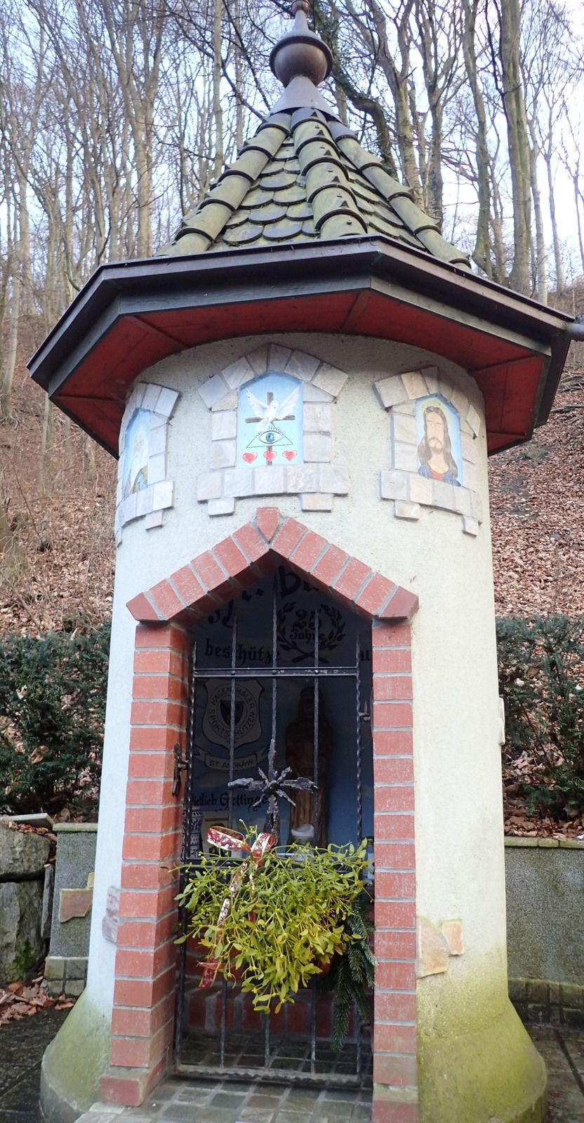
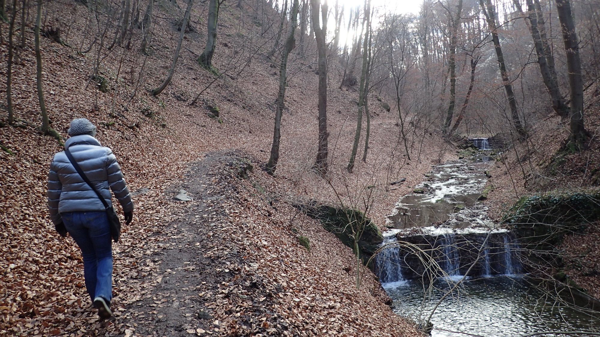
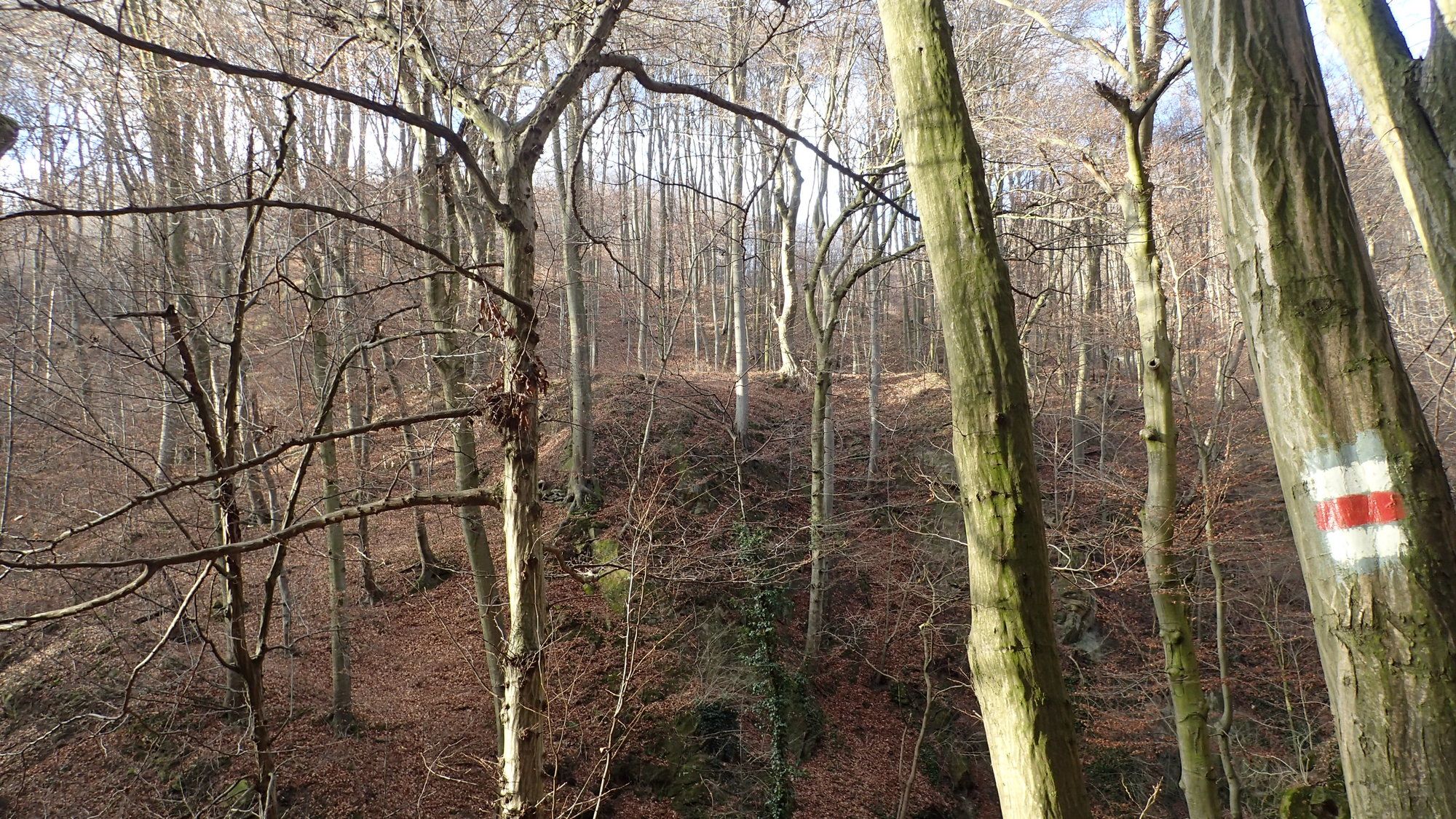
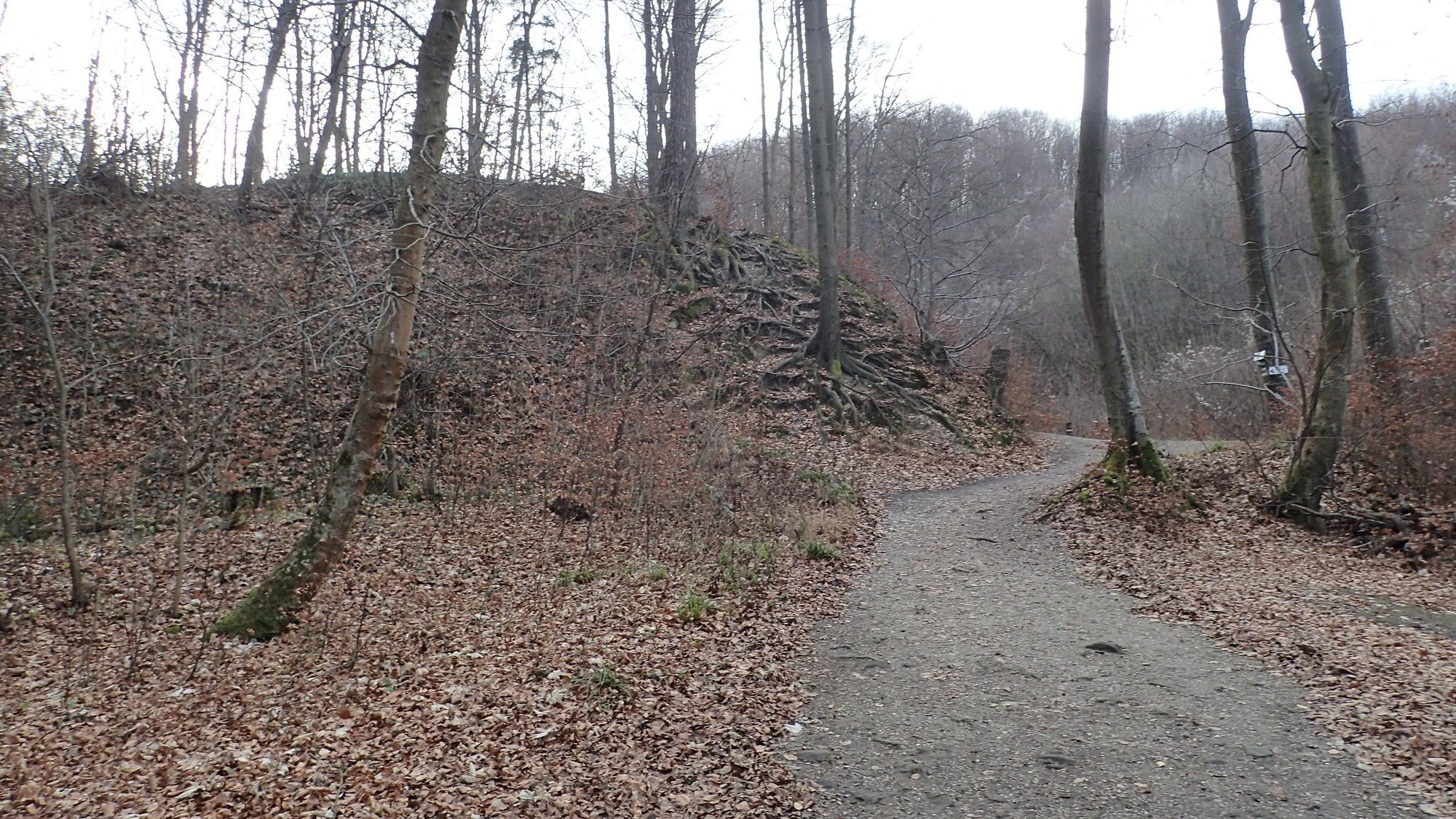
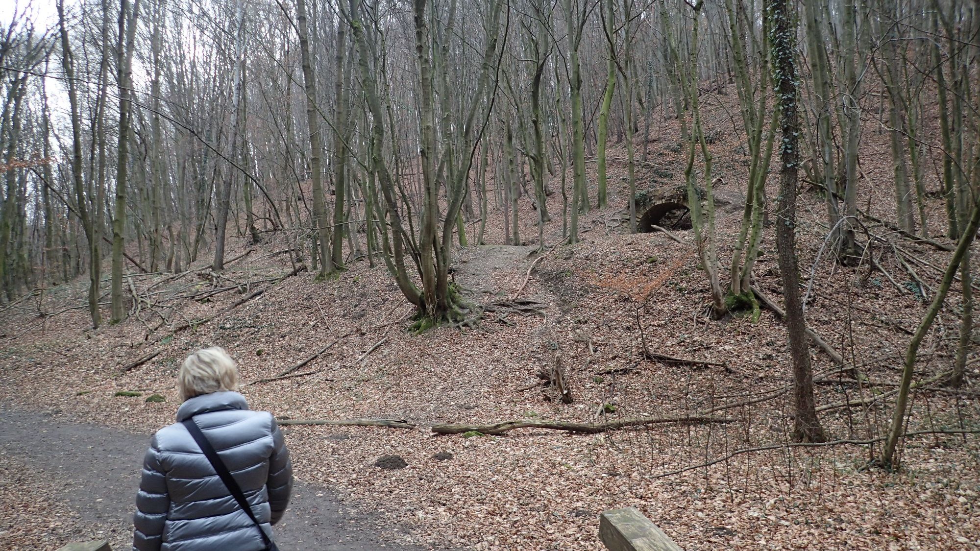
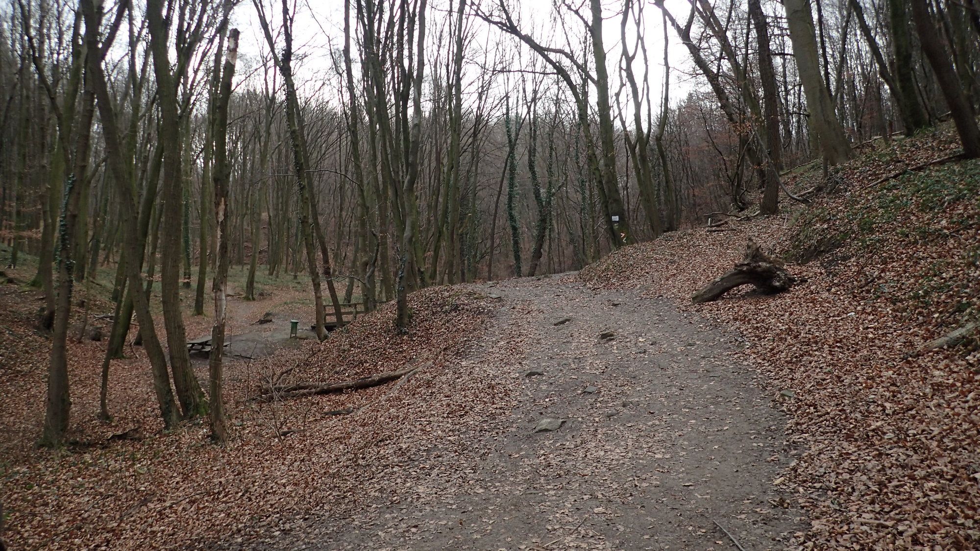
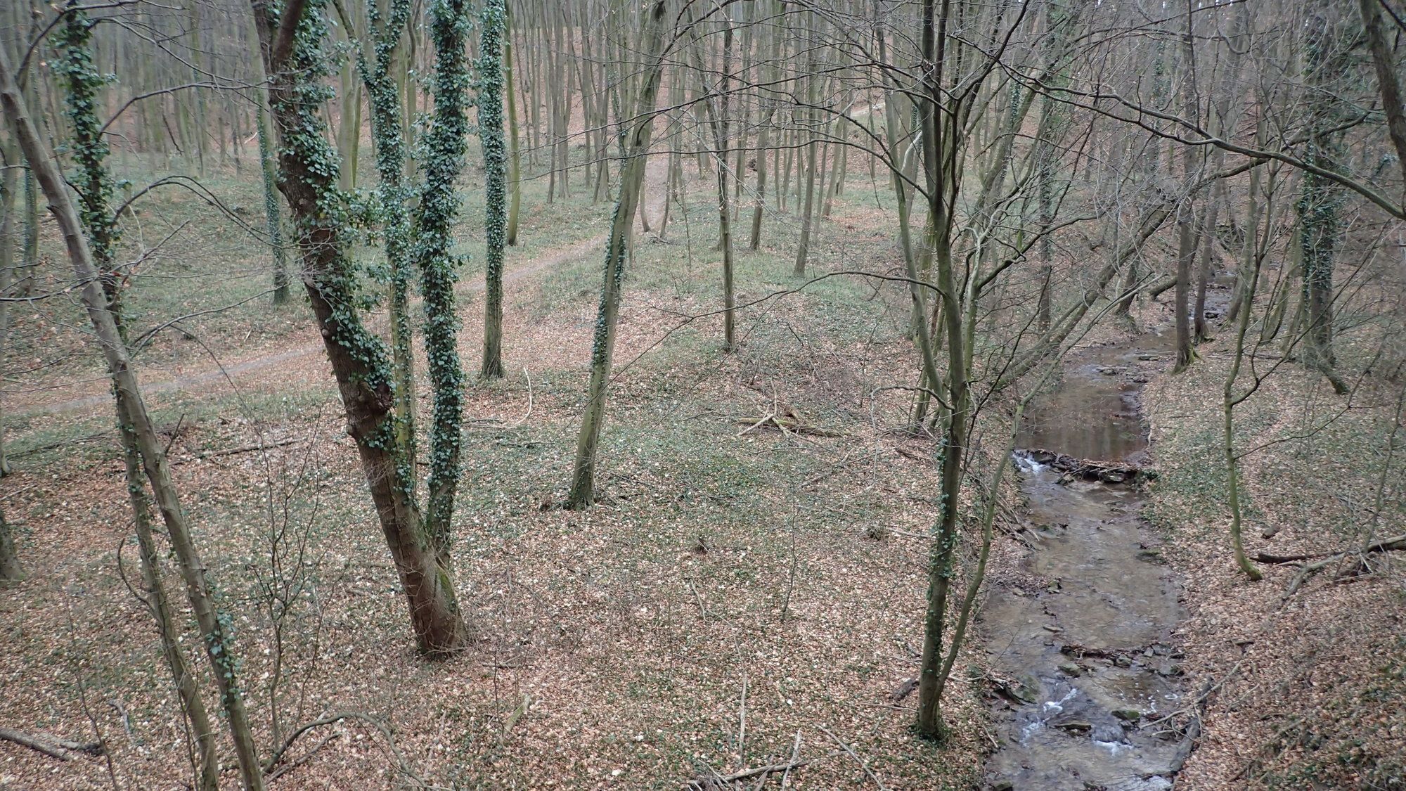
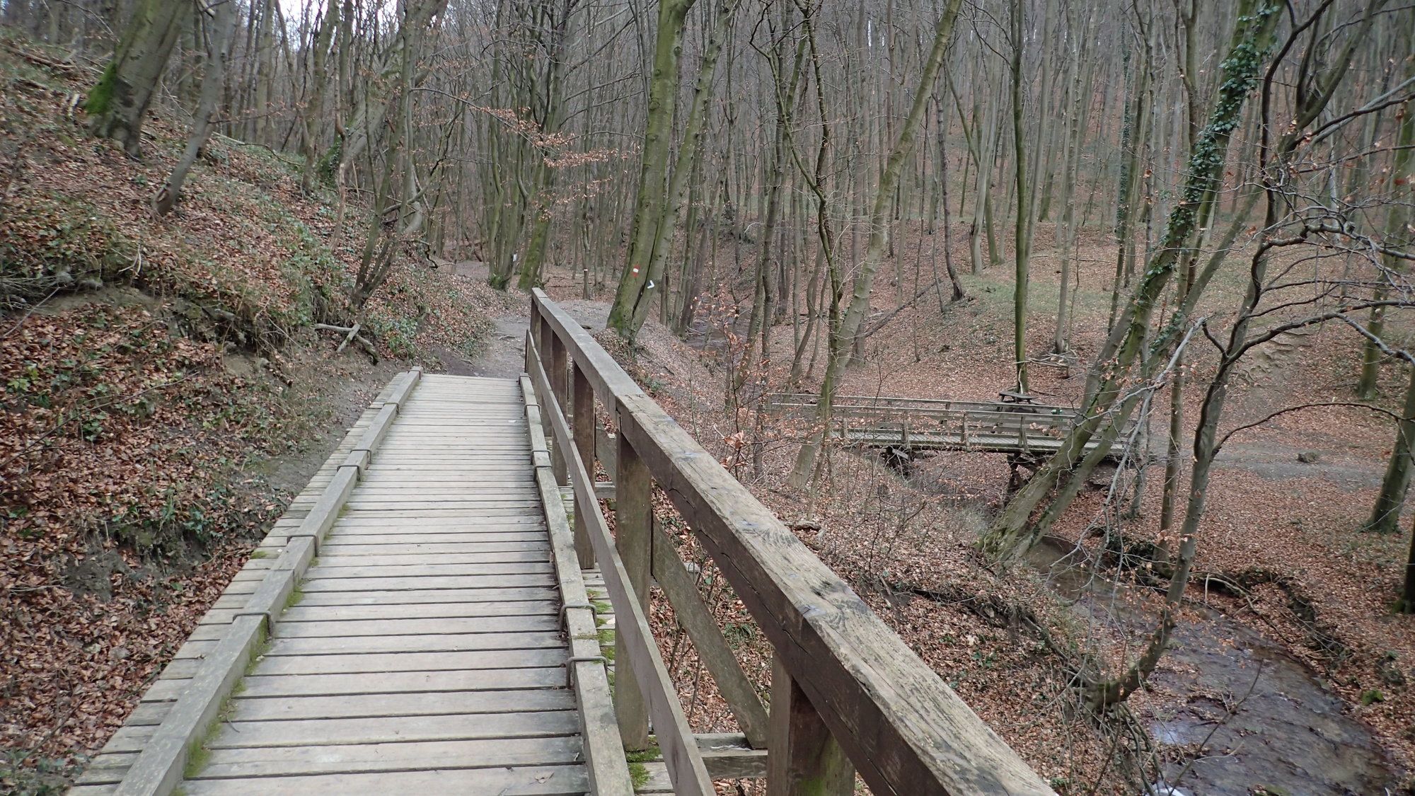
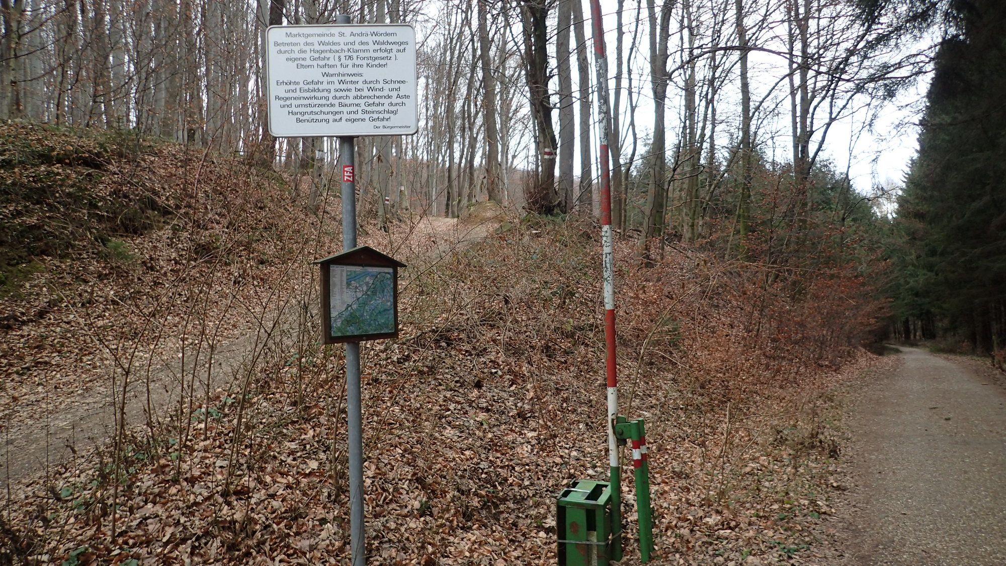
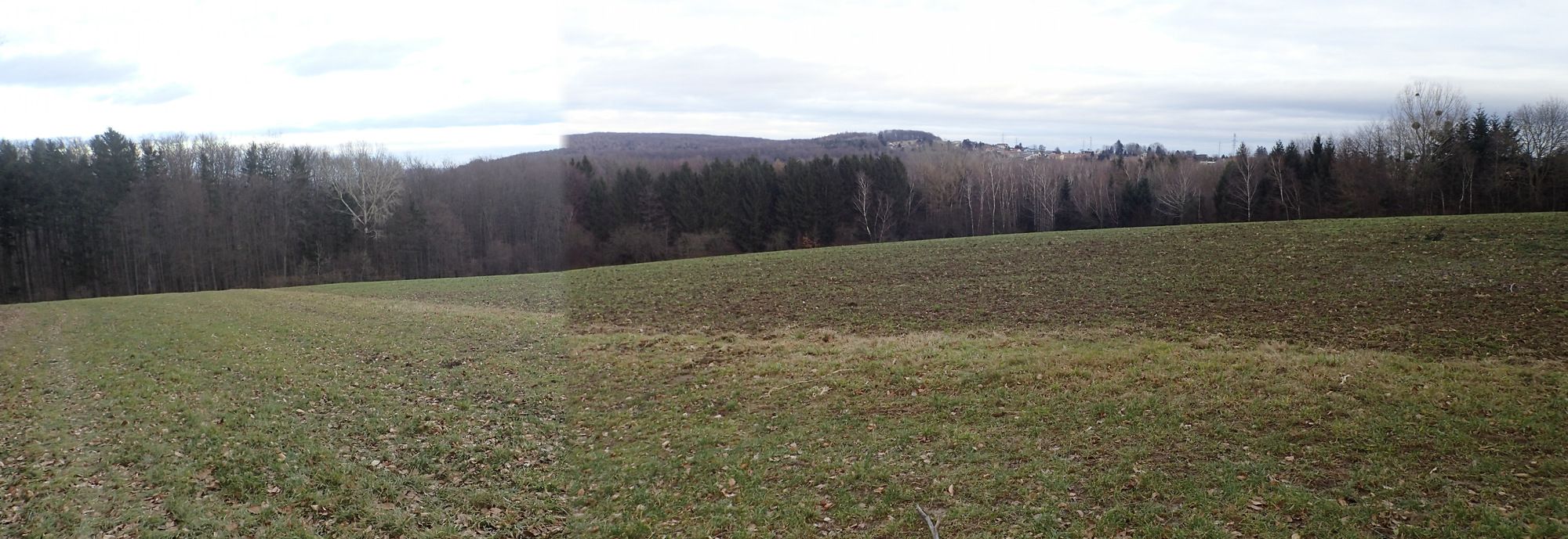
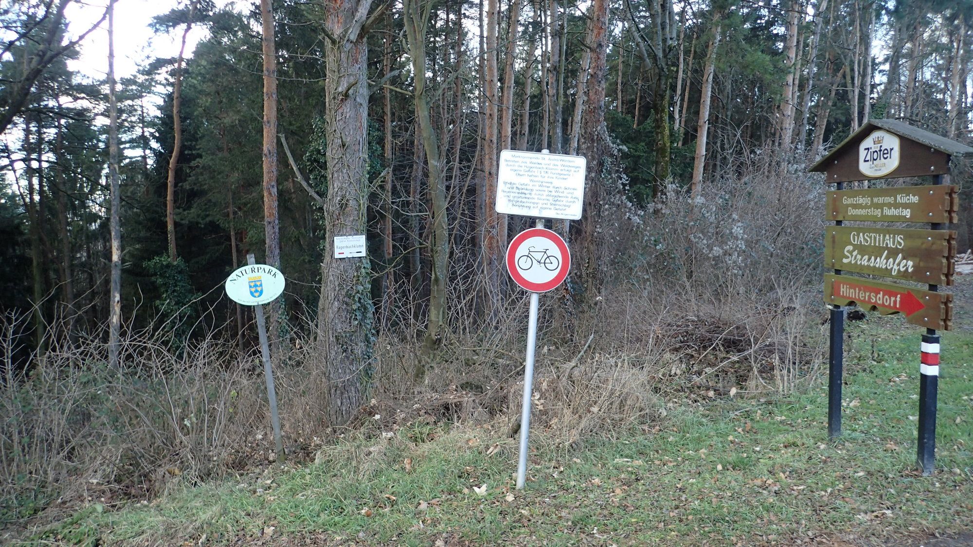
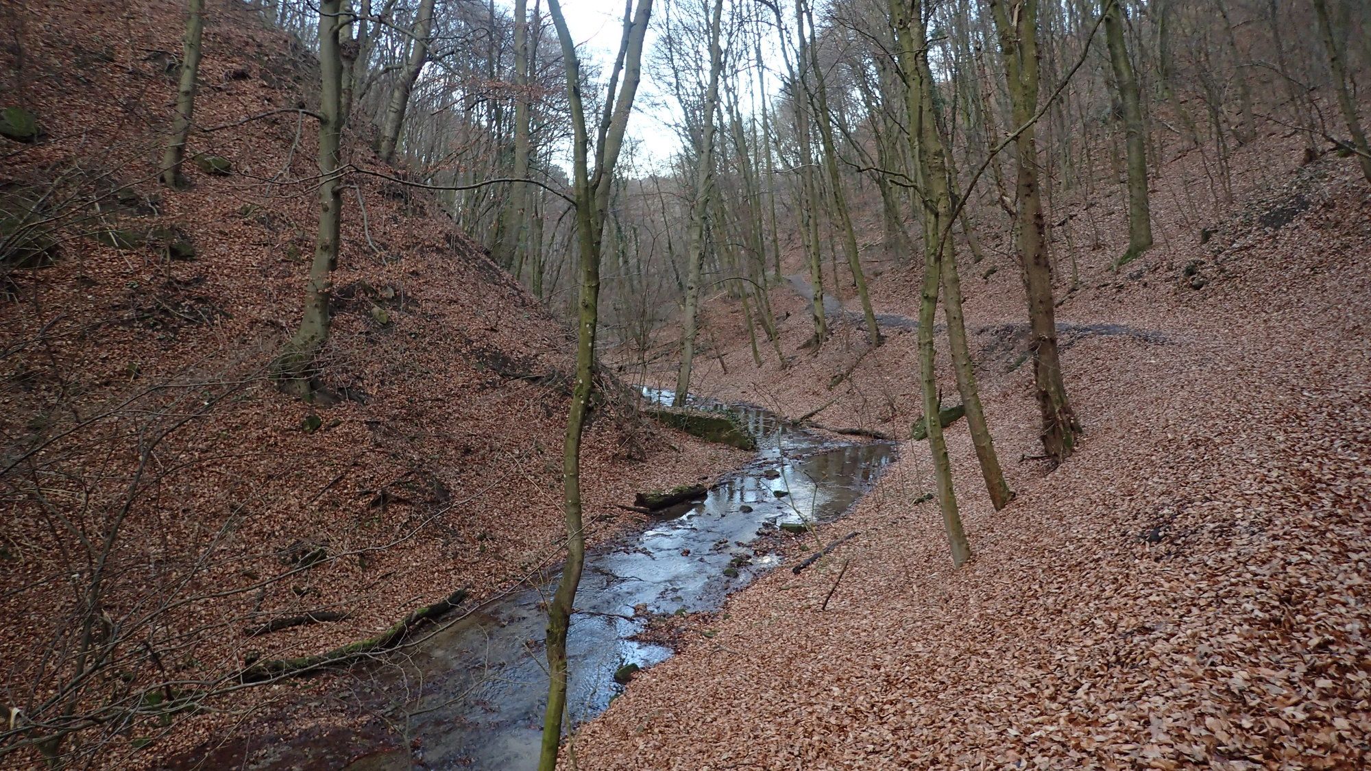
Wanderung in der Hagenbachklamm
- Difficoltà
-
facile
- Valutazione
-
- Punto di partenza
-
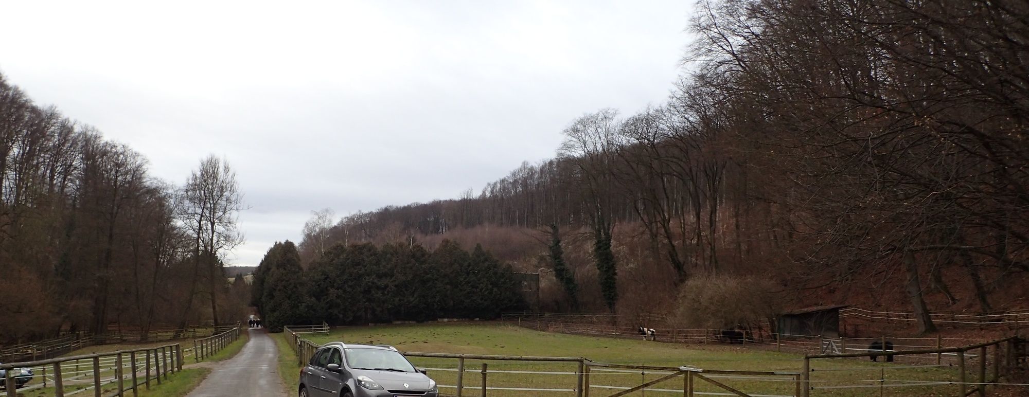
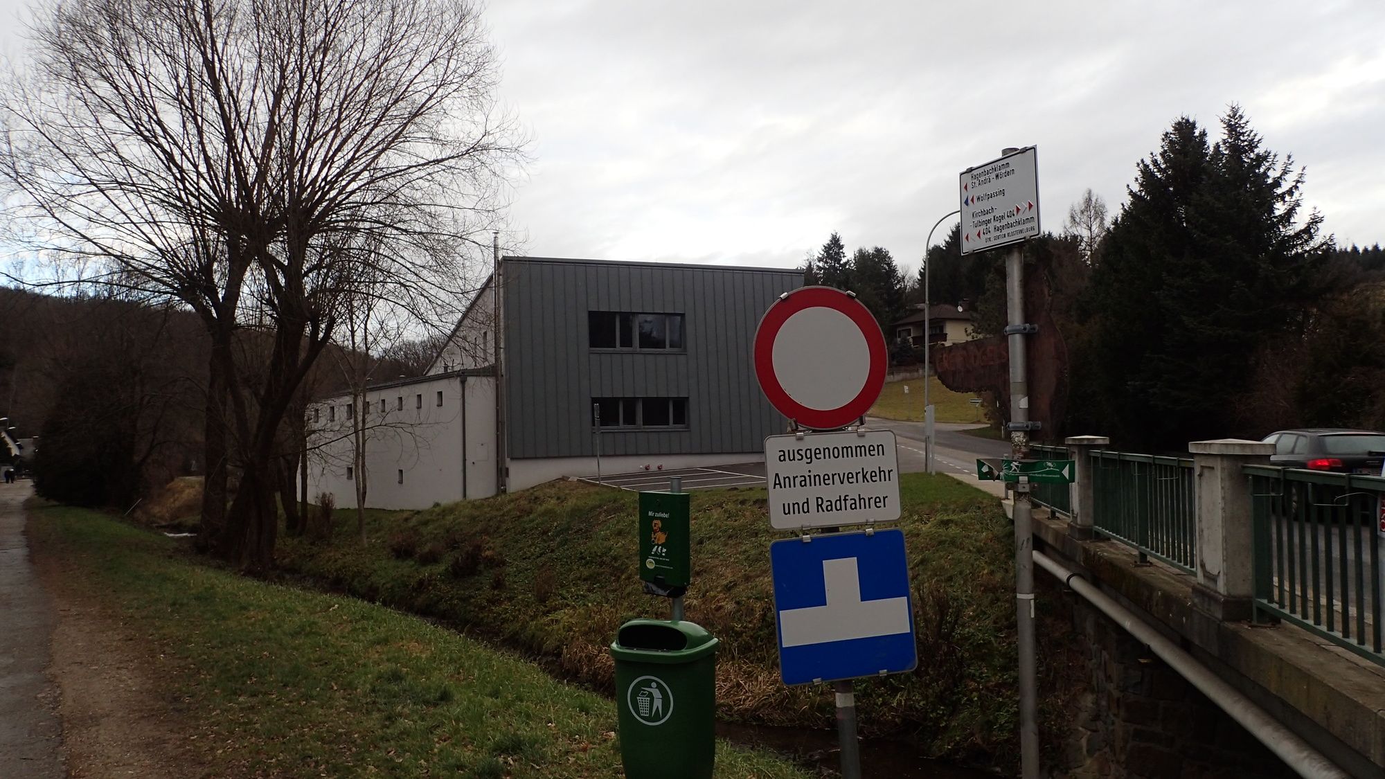
von der Bushaltestelle bzw. vom Parkplatz
- Percorso
-
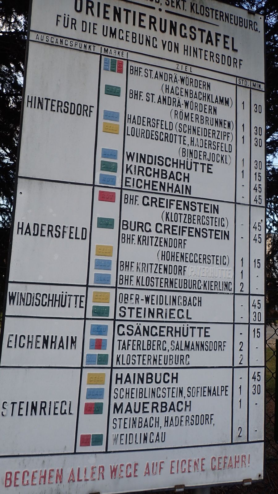
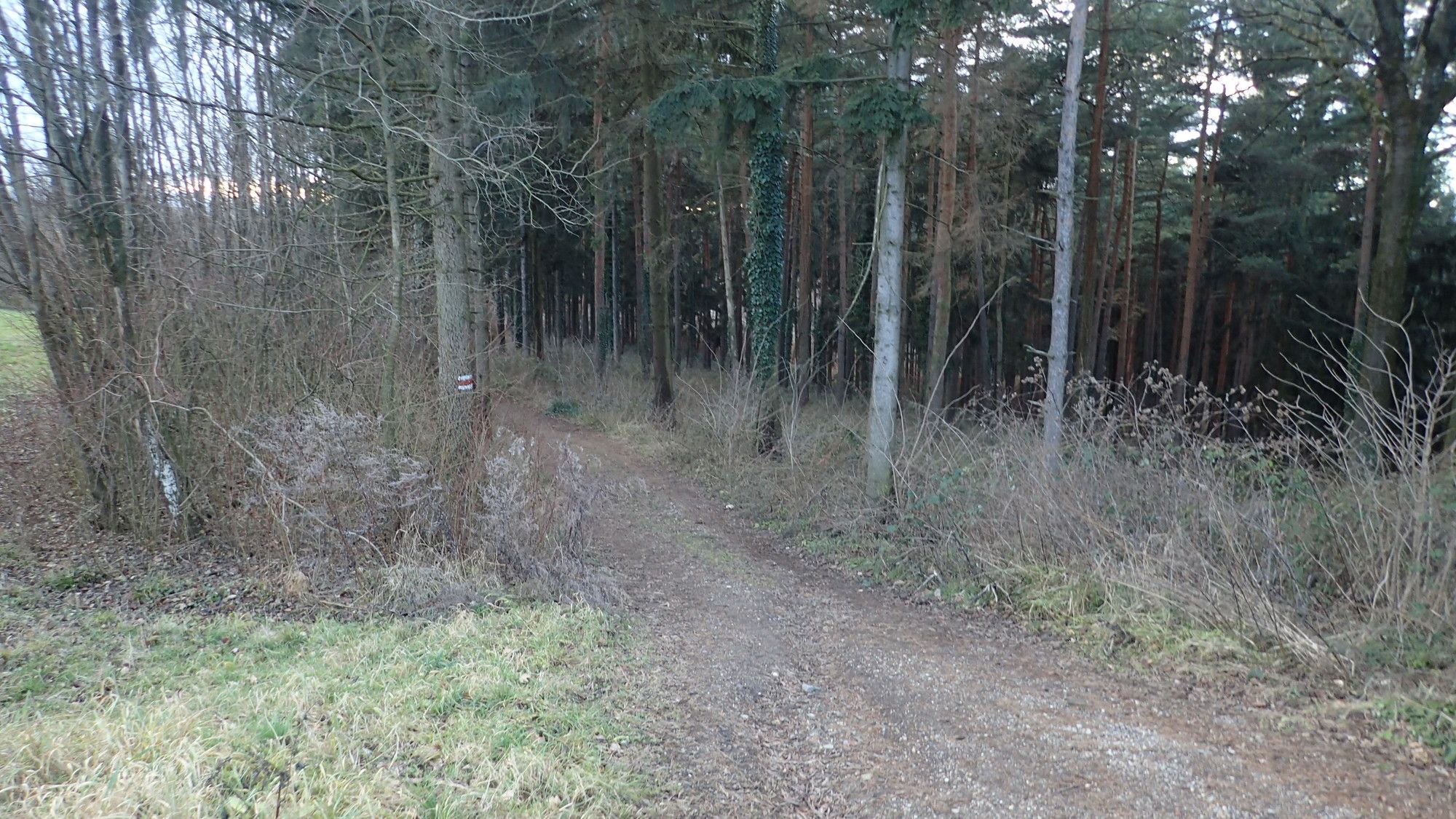
Annakapelle3,1 kmUnterkirchbach3,2 kmHintersdorf6,2 km
- La stagione migliore
-
genfebmaraprmaggiulugagosetottnovdic
- Punto più alto
- Hintersdorf Ortsende Nord (383 m)
- Destinazione
-
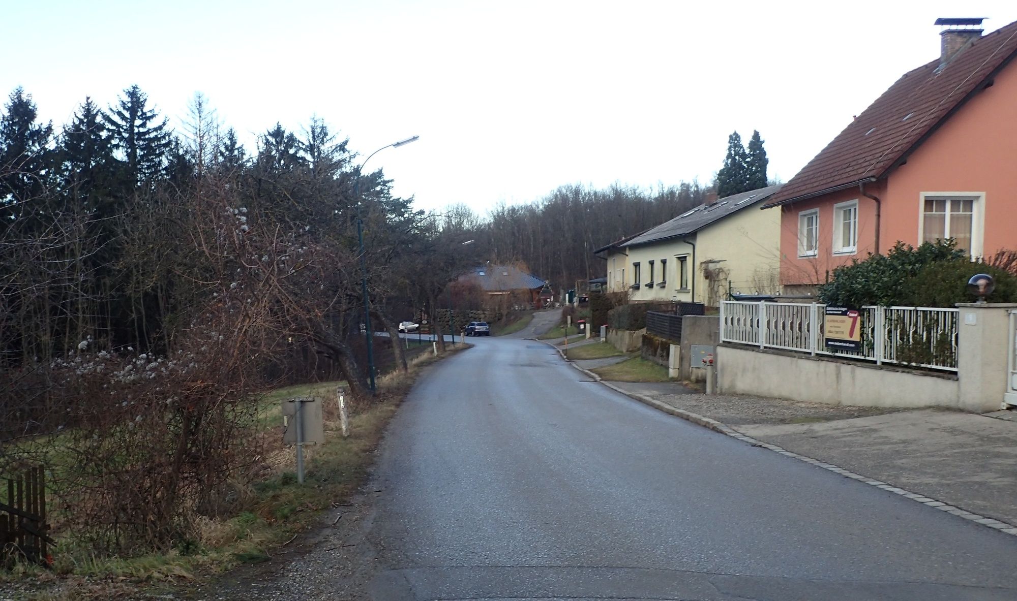
durch die Hagenbachklamm nach Unterkirchbach sowie Hintersdorf und wieder zurück.
- Riposo/Ritiro
-
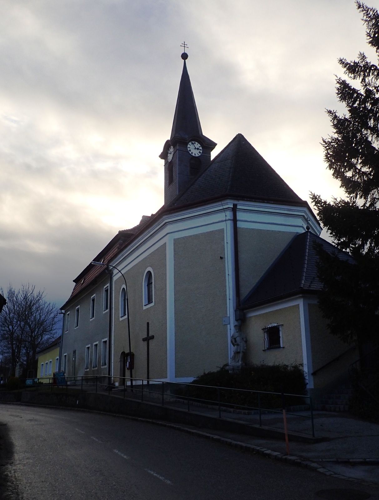
Gasthaus Strasshofer in Hintersdorf, Gasthaus Hauser Kirchbach
- Cartine
-
bergfex, amap, kompass, opentopomap


- Fonte
- Erich Helferstorfer
GPS Downloads


Condizioni dei sentieri
Asfalto
(25%)
Ghiaia
(50%)
Prato
(10%)
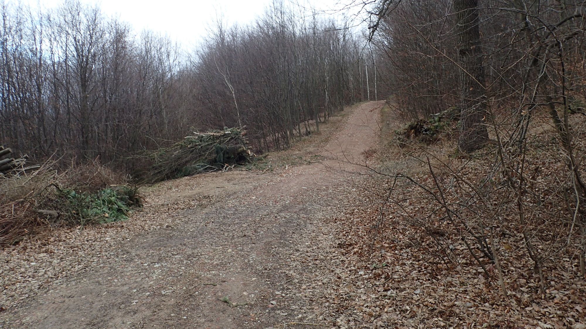
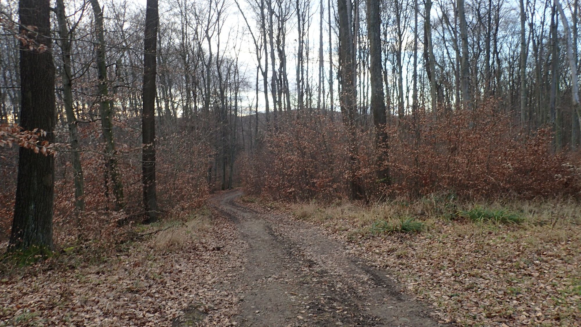
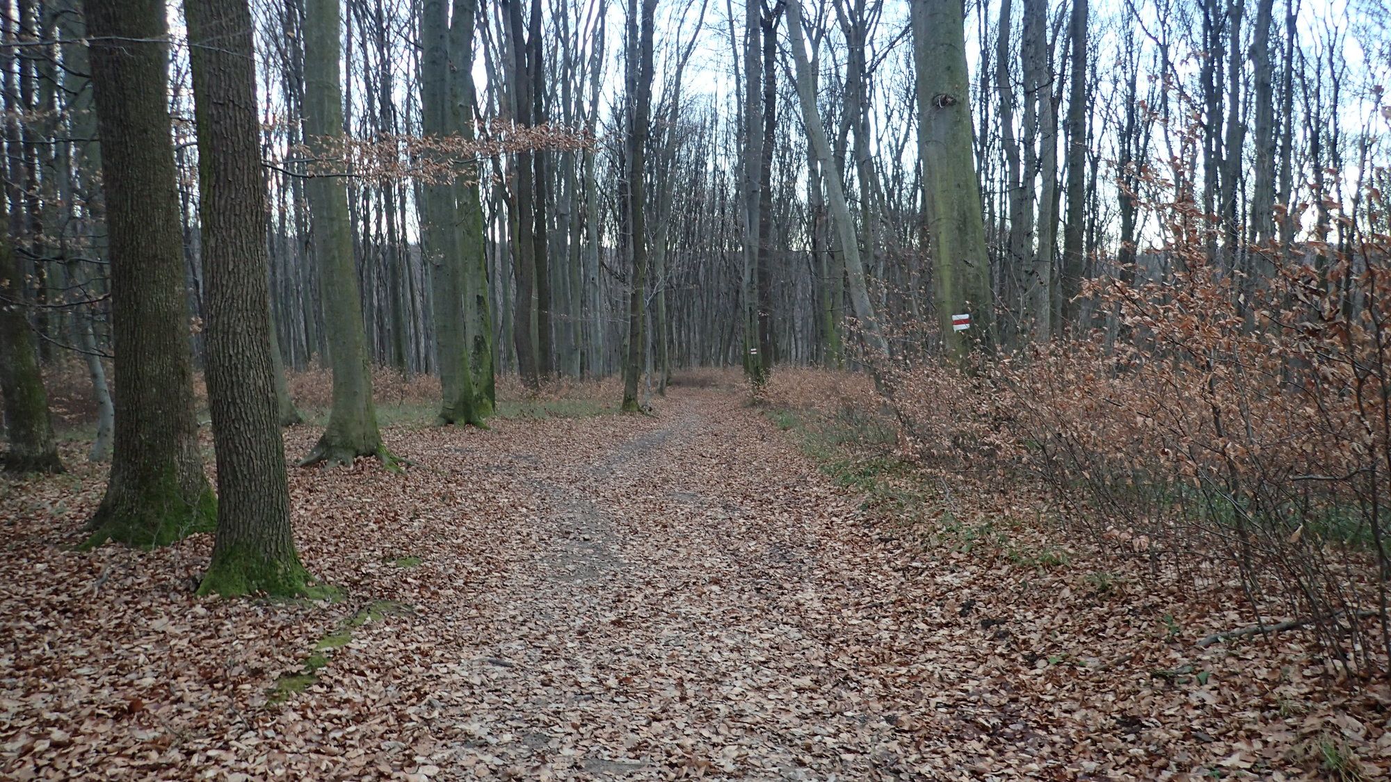
Foresta
(40%)
Roccia
Esposta
Altri tour nelle regioni
-
Wienerwald
4208
-
Wien und Umgebung
2477
-
St. Andrä-Wördern
898