Gutensteiner Alpen: Gaisstein - West-Ost-Überquerung

Escursionismo

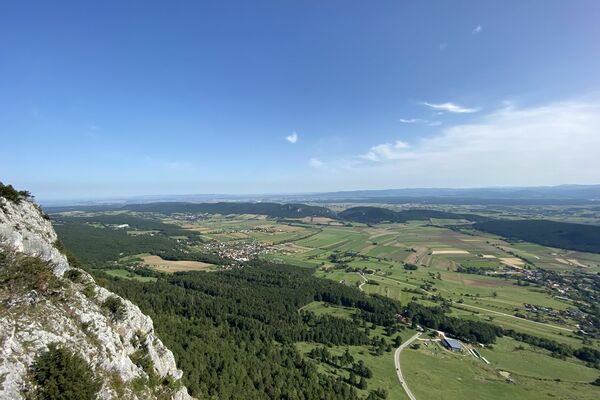
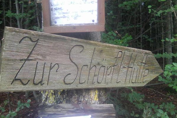
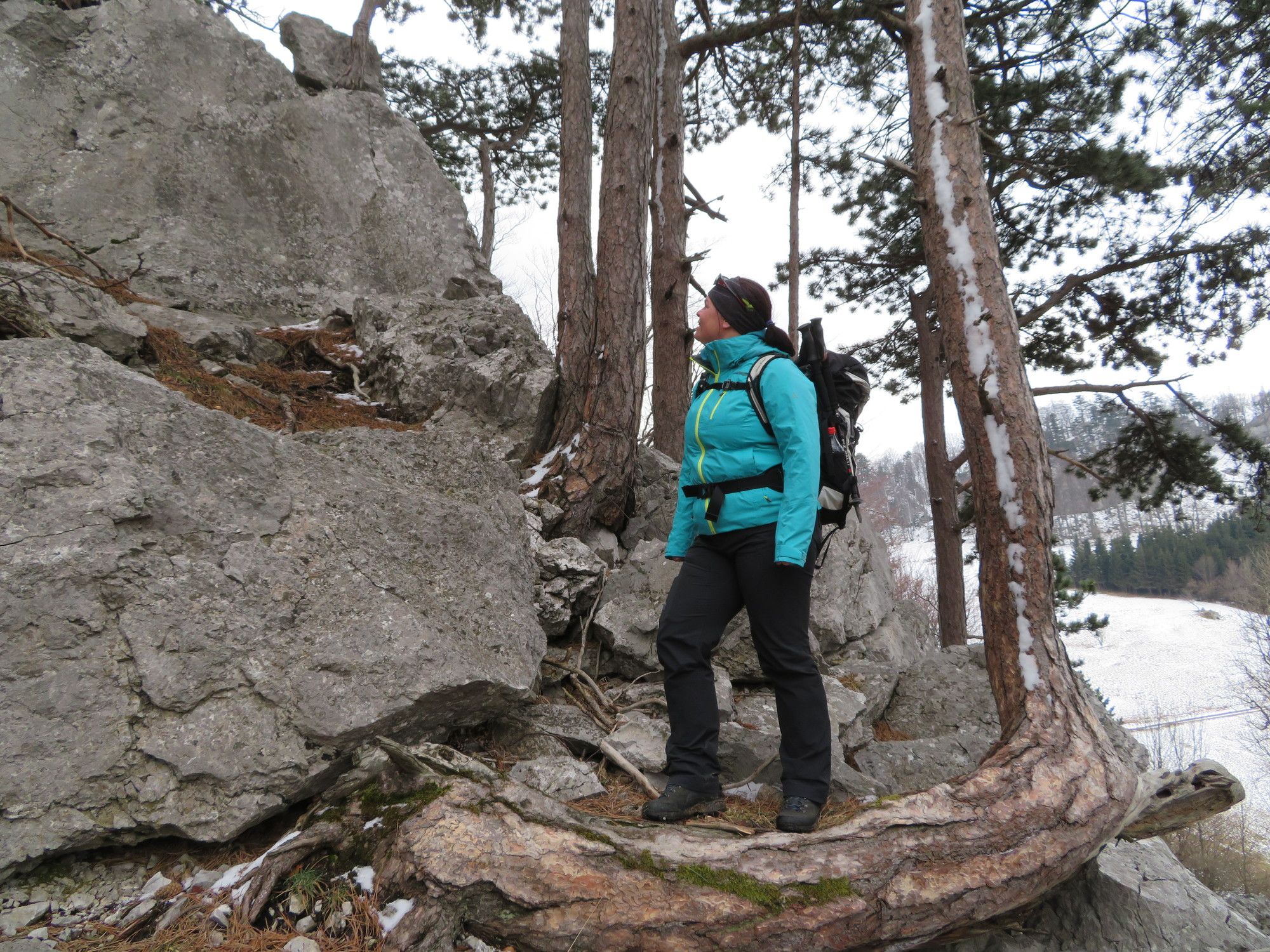
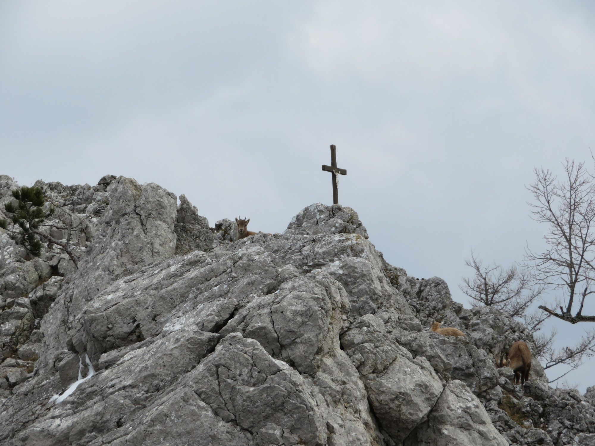
© gert gasperin
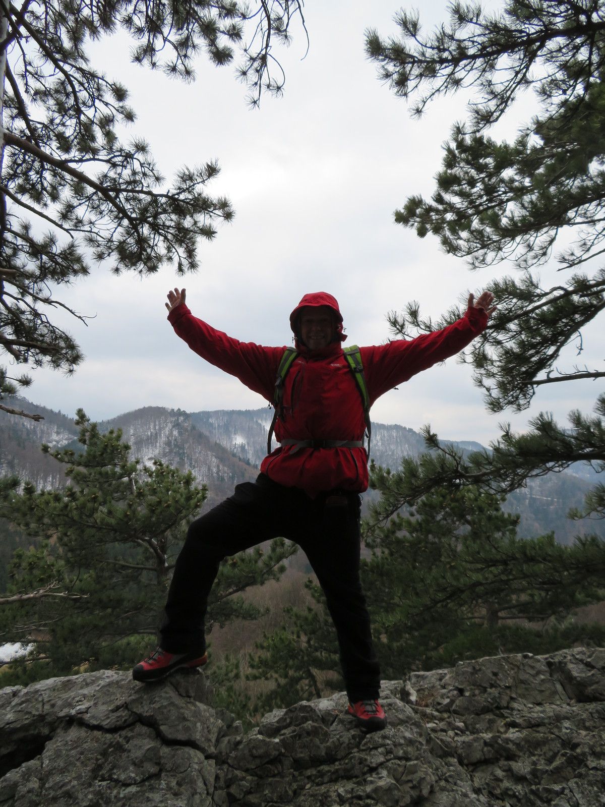
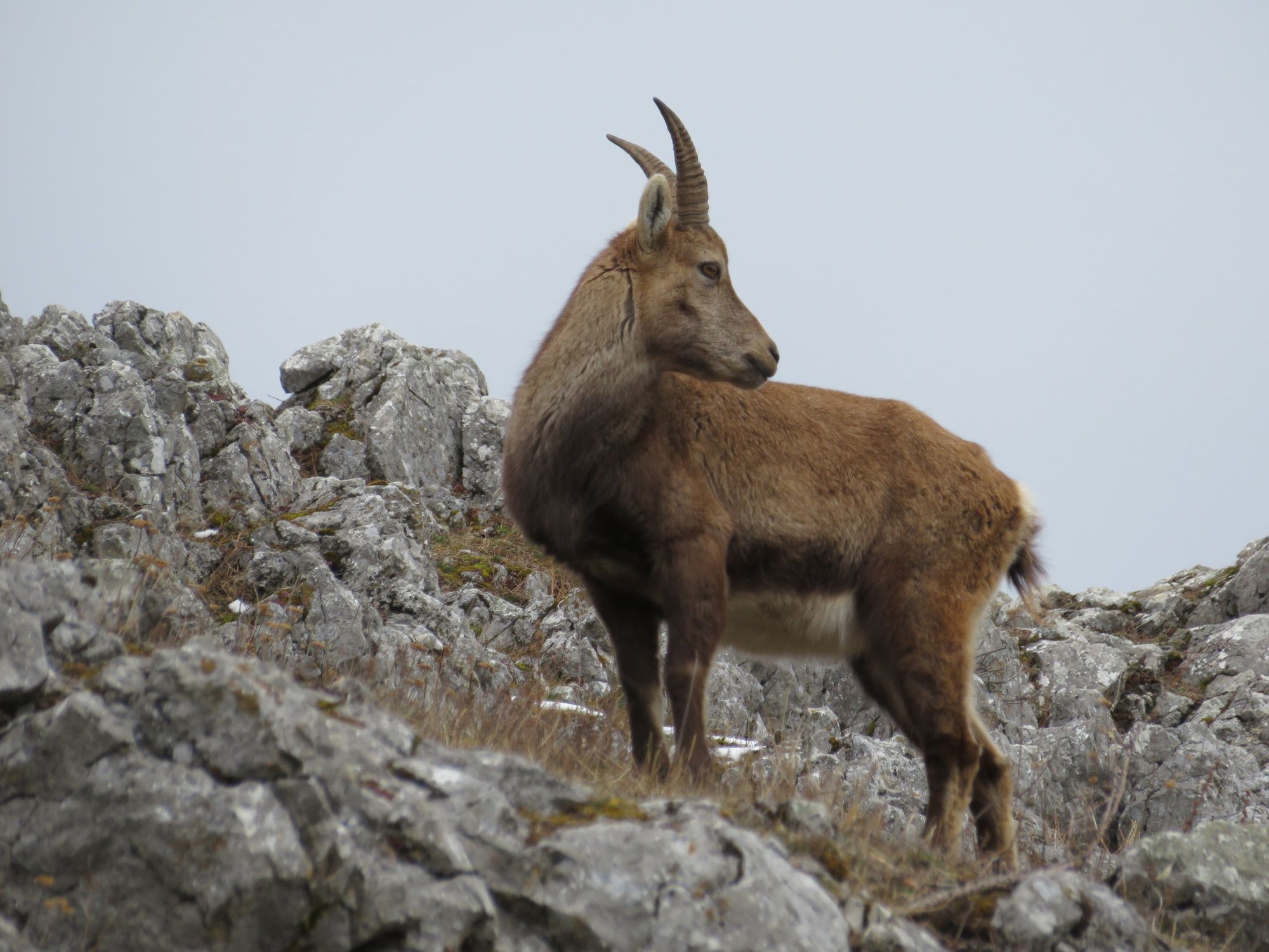
© gert gasperin

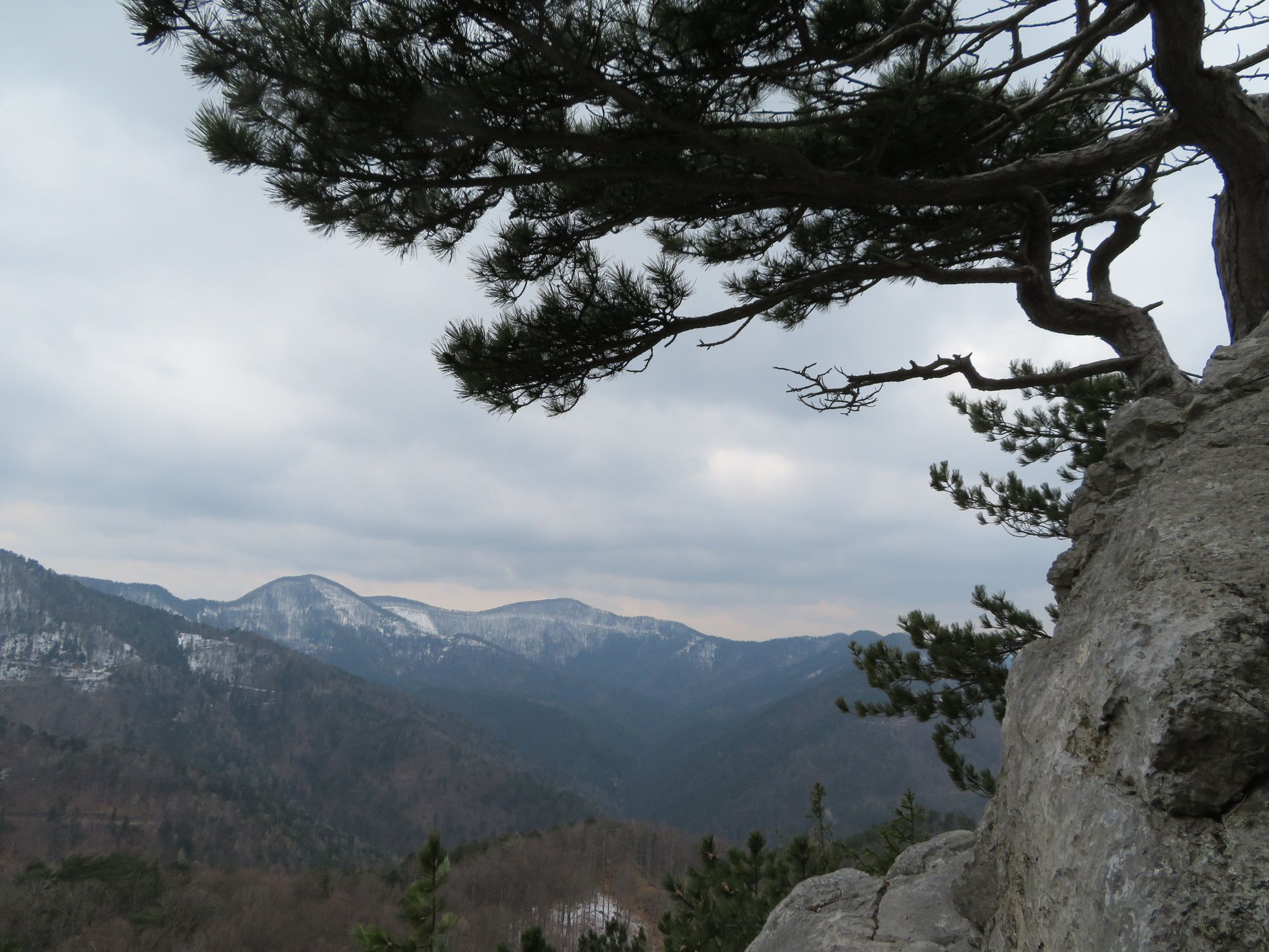
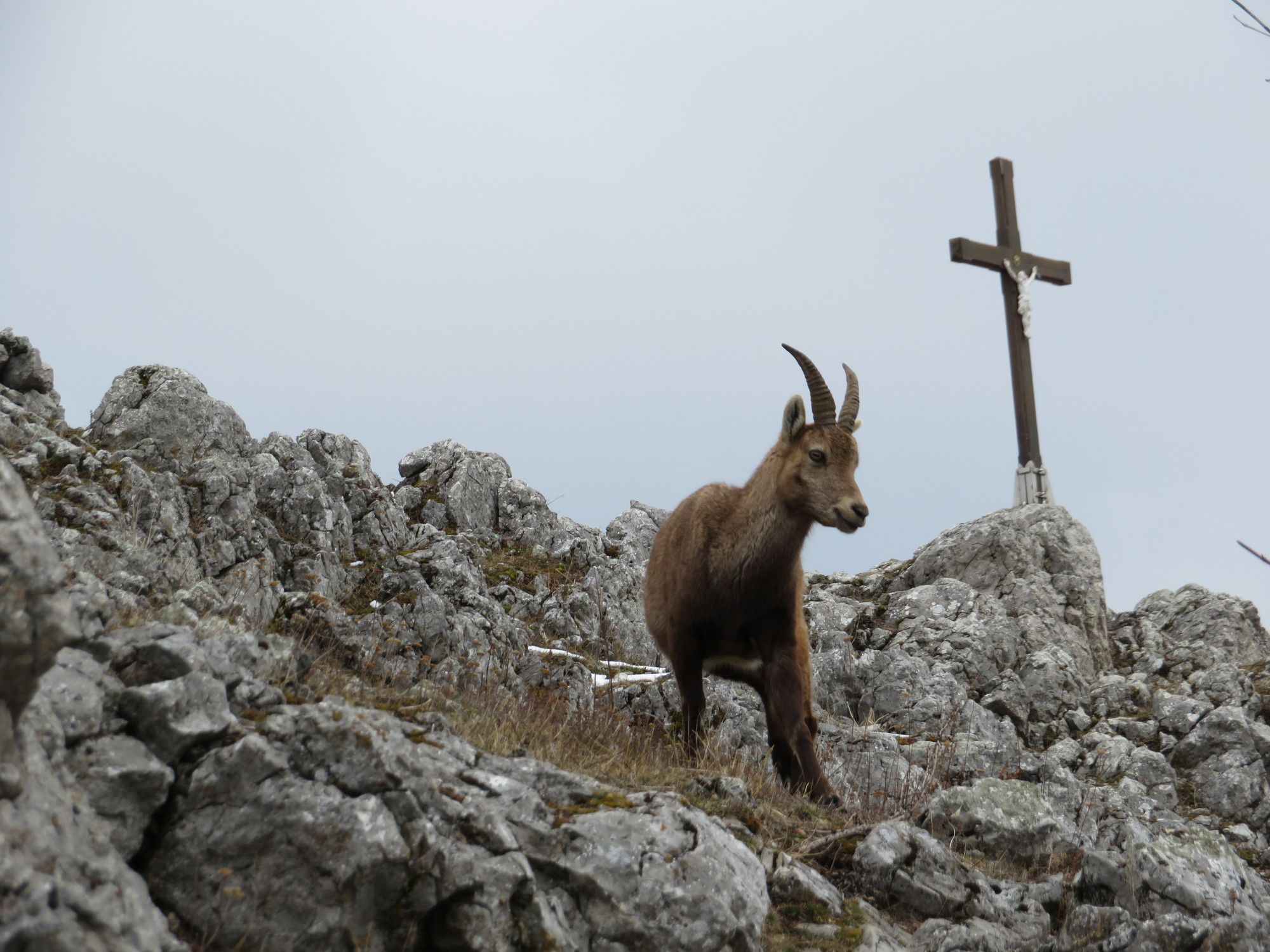
© gert gasperin

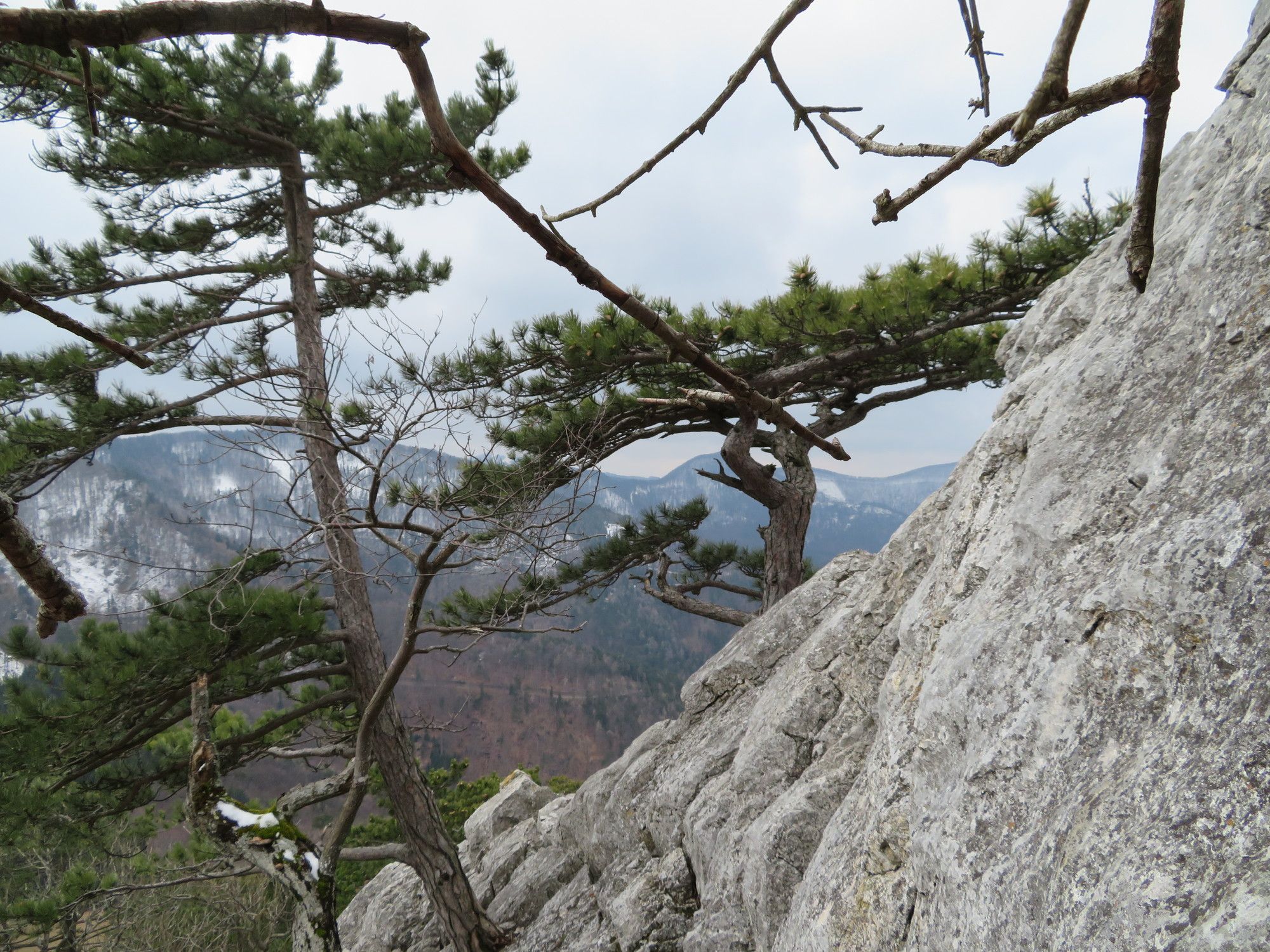
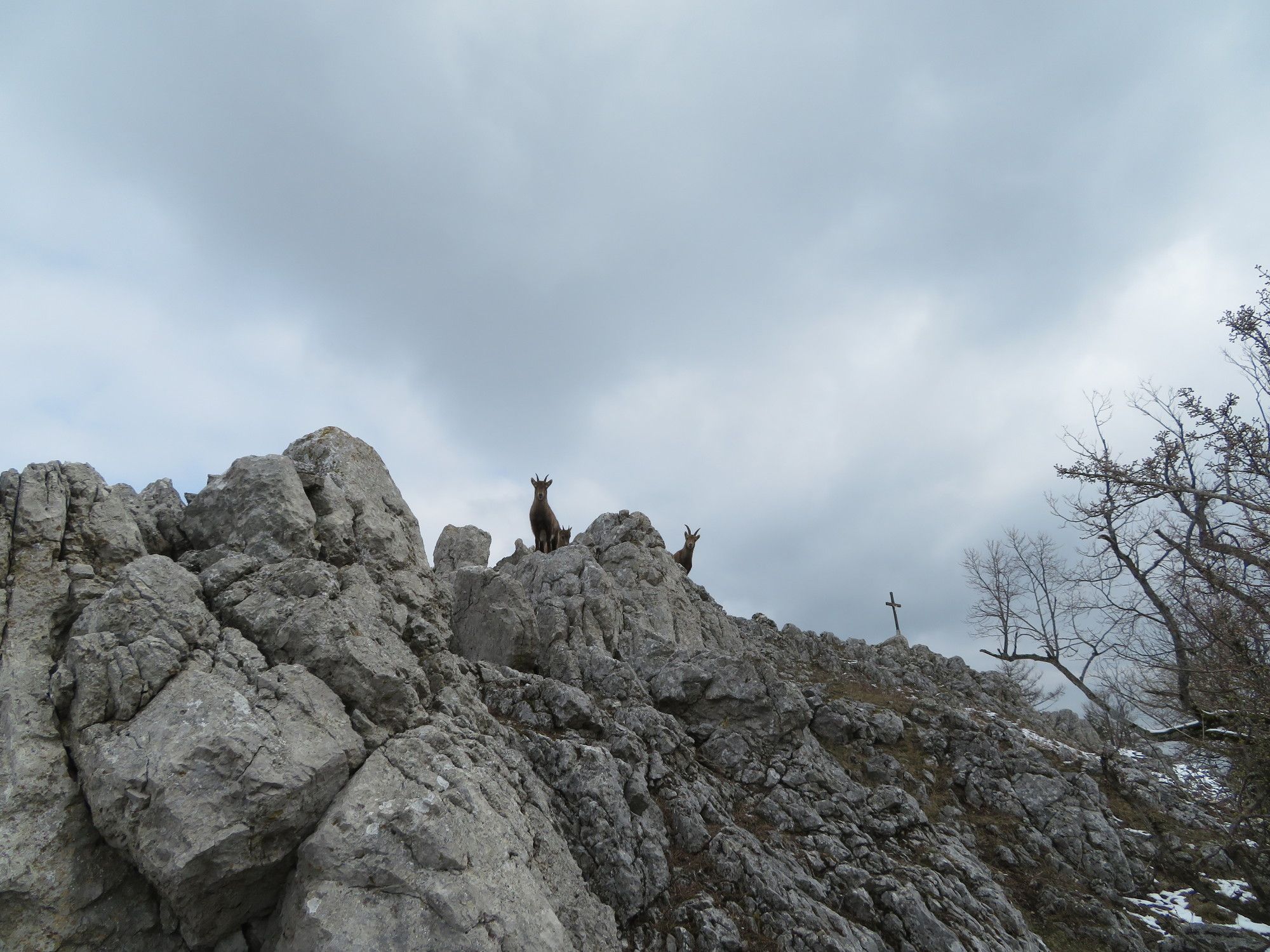
© gert gasperin

© gert gasperin

© gert gasperin

© gert gasperin

© gert gasperin

© gert gasperin

© gert gasperin
Dati percorsi
10,34km
423
- 928m
553hm
550hm
05:15h

- Difficoltà
-
intermedio
- Valutazione
-
- Percorso
-
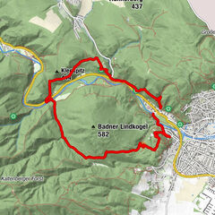
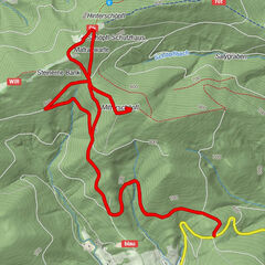
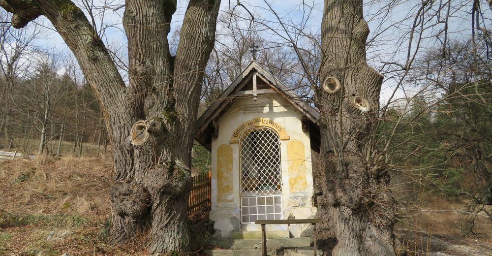
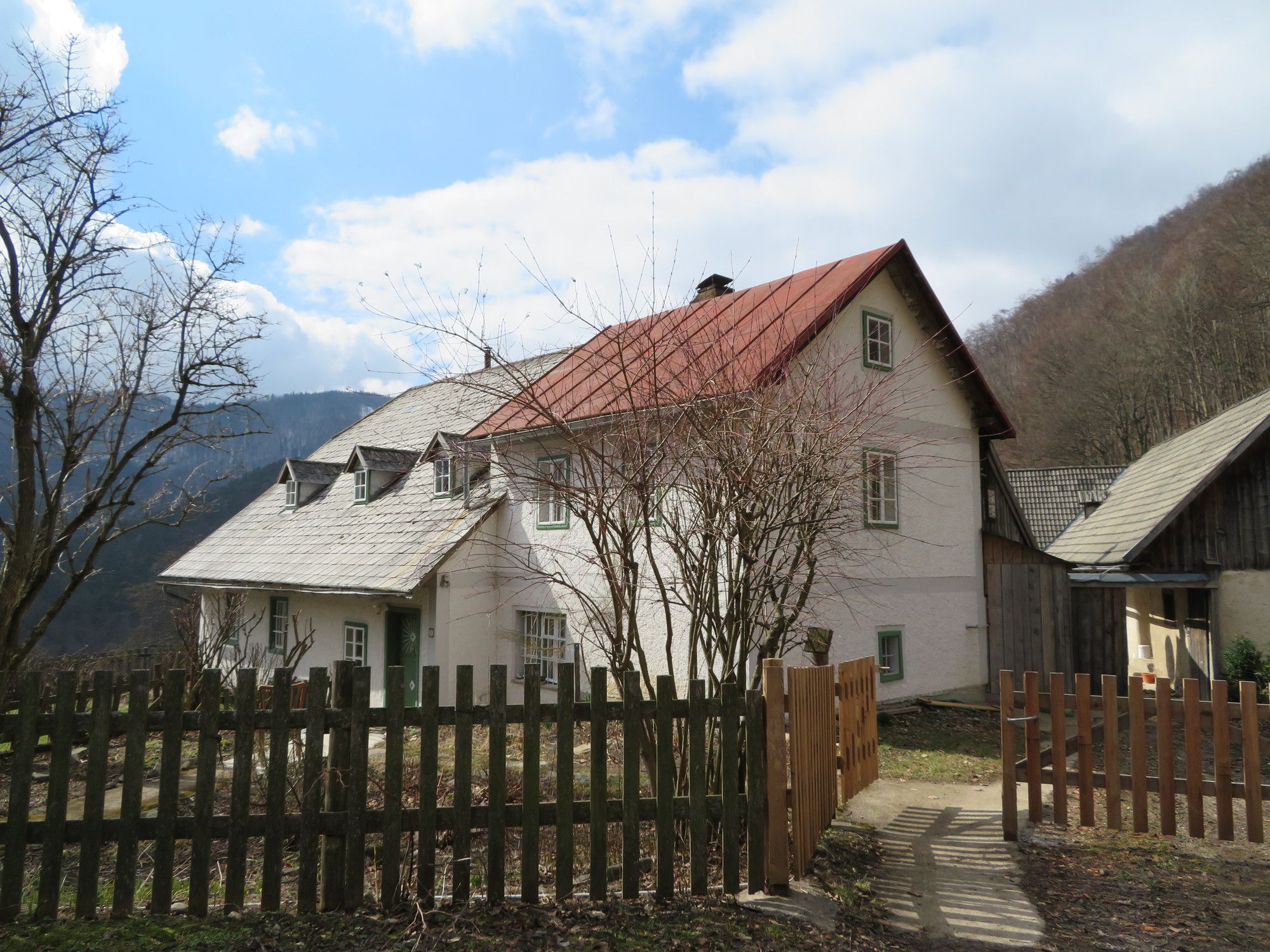
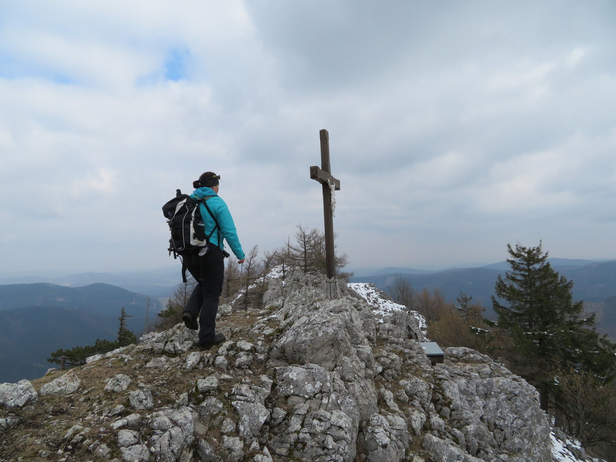
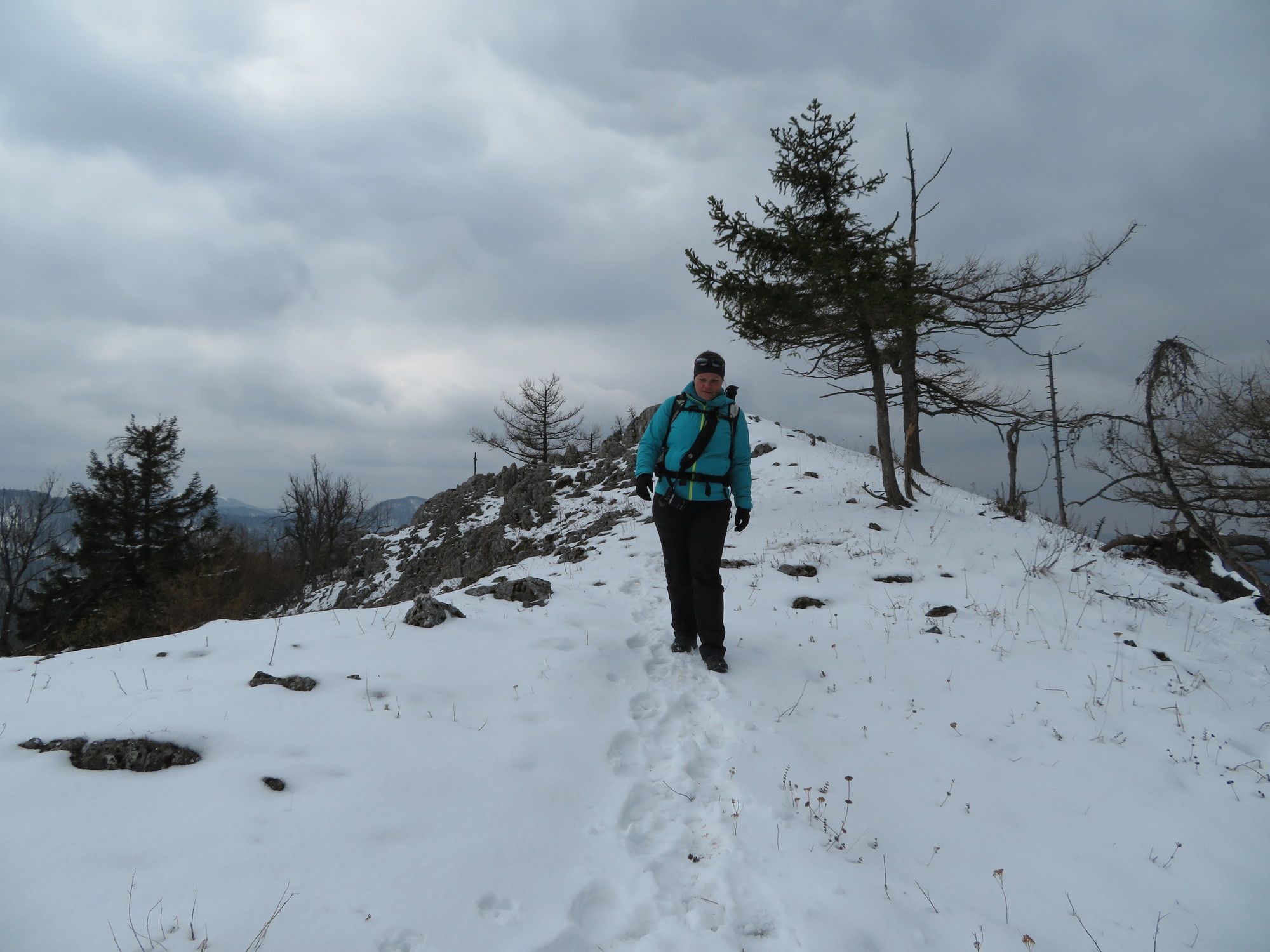
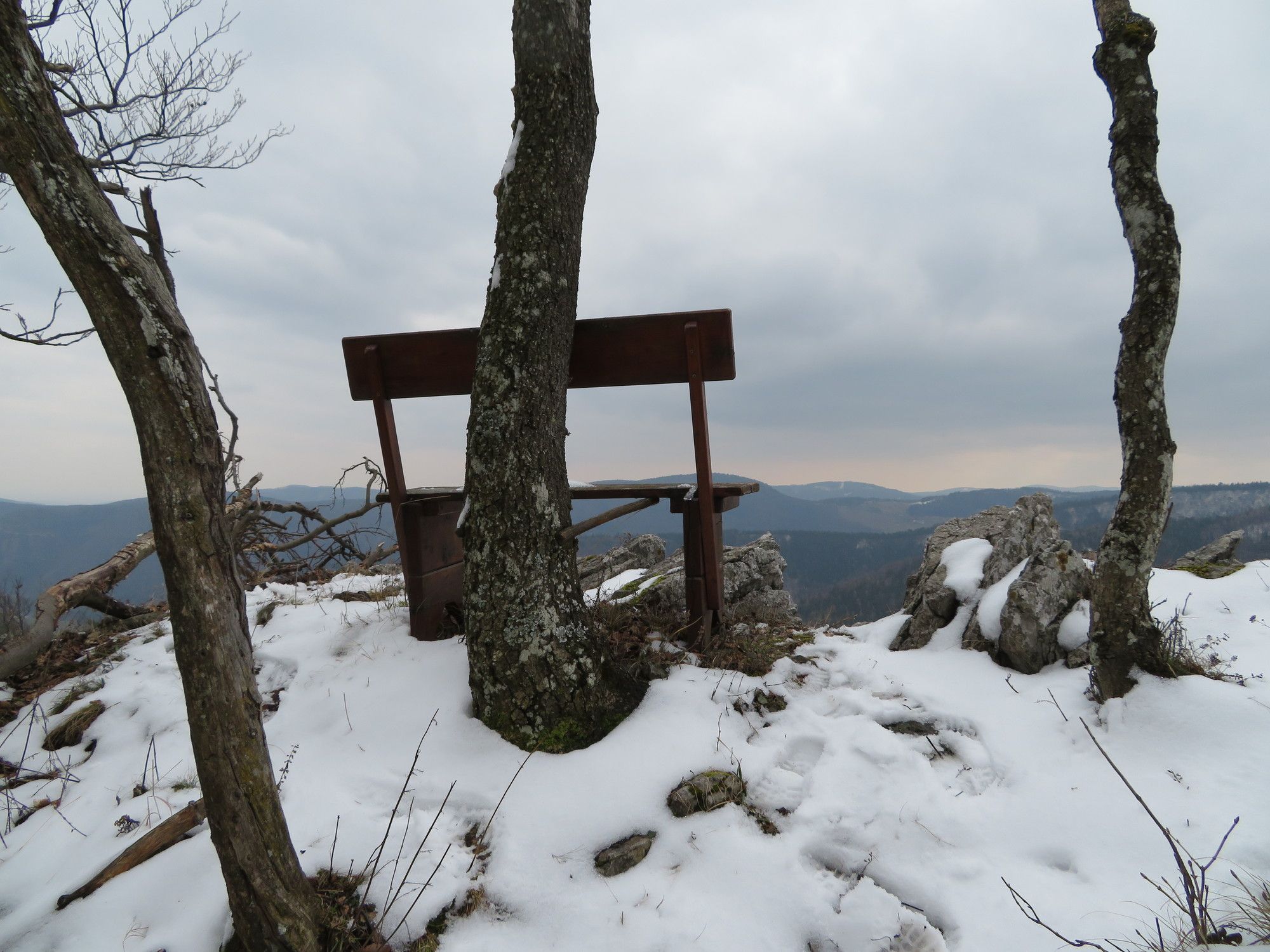
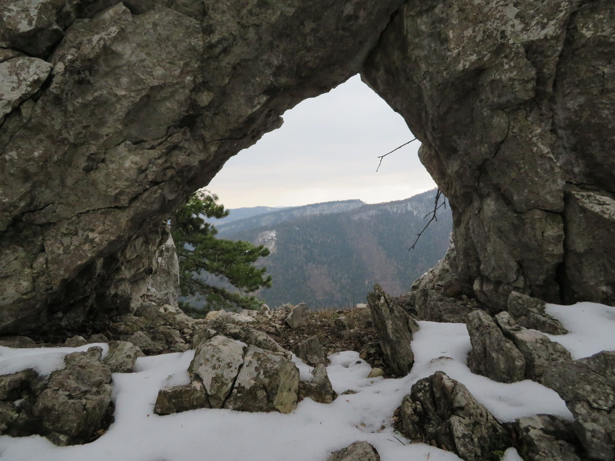
Furth an der Triesting0,1 kmSt. Magdalena0,1 kmUntere Himmelsreithhöhle3,5 kmObere Himmelsreithhöhle3,5 kmGaisstein (975 m)4,9 kmHaasenbankerl5,5 kmDeserteurhöhle5,5 kmFelsenfenster5,6 kmPlattenloch5,6 kmGamsloch5,6 kmEibenversteck5,6 kmSt. Magdalena10,2 kmFurth an der Triesting10,2 km
- La stagione migliore
-
genfebmaraprmaggiulugagosetottnovdic
- Punto più alto
- 928 m


GPS Downloads


Condizioni dei sentieri
Asfalto
Ghiaia
Prato
Foresta
Roccia
Esposta
Altri tour nelle regioni
-
Wienerwald
4219
-
Schneebergland - Wiener Alpen
2457
-
Furth an der Triesting
543