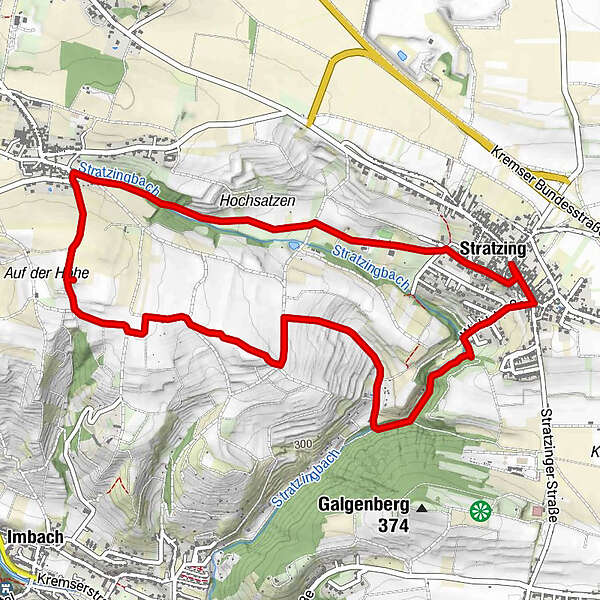
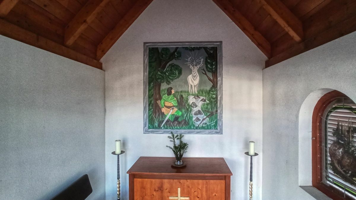
Rundwanderung Stratzing - Aussichtsturm - Hubertuskapelle - Stratzing

Escursionismo


Dati percorsi
5,93km
273
- 399m
130hm
121hm
01:45h
- Descrizione rapida
-
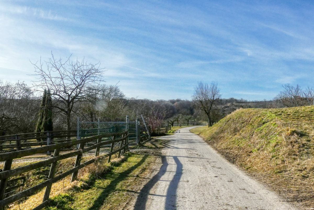
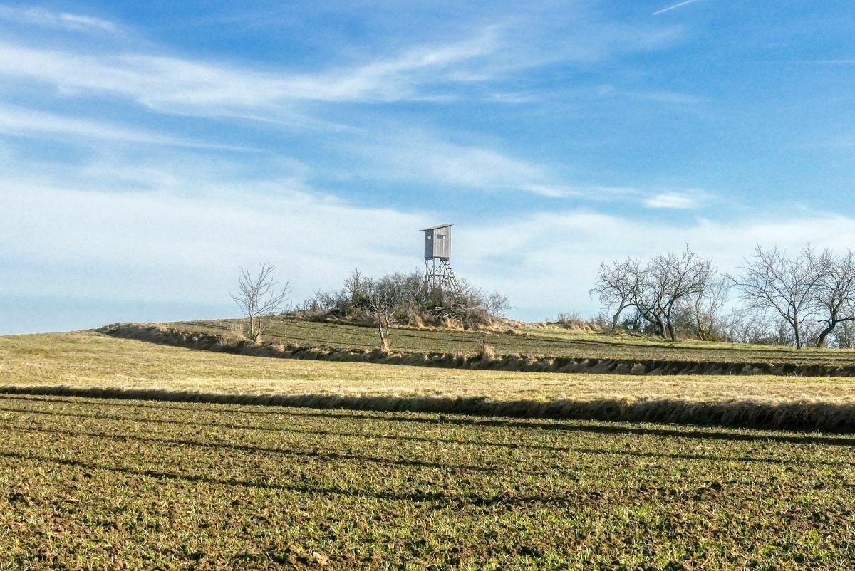
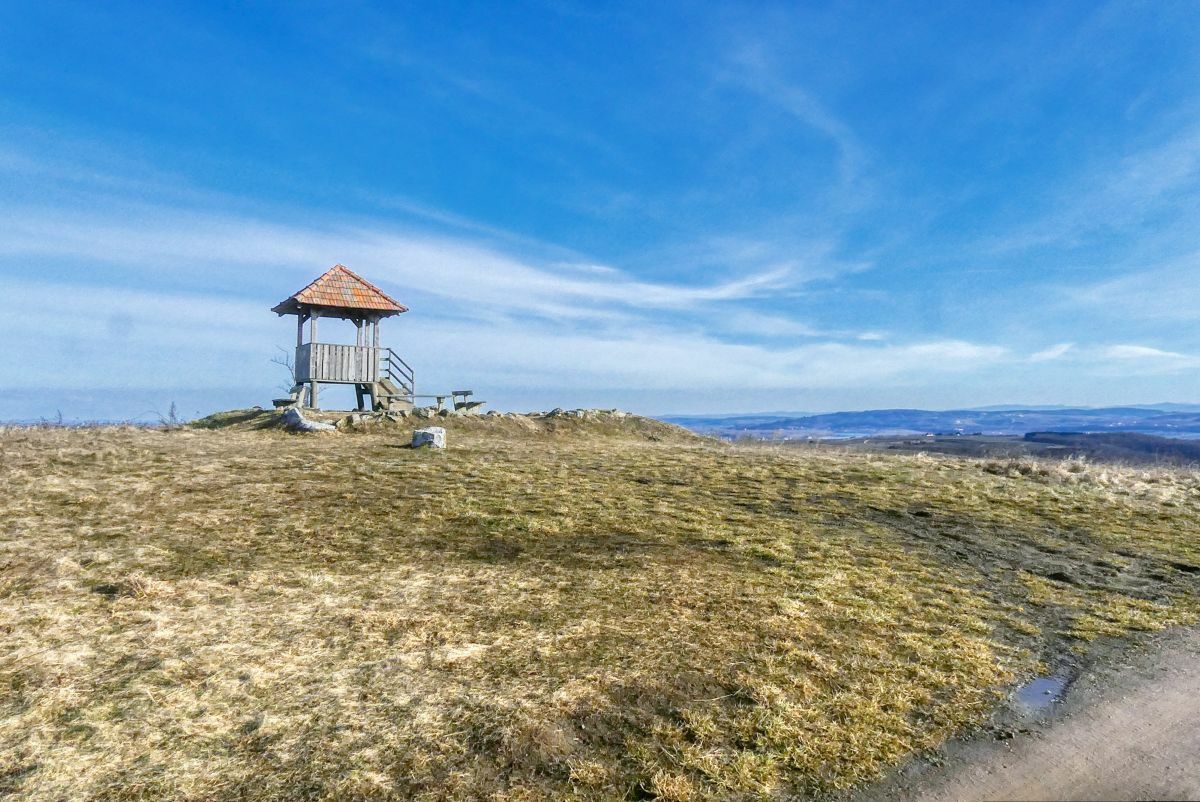
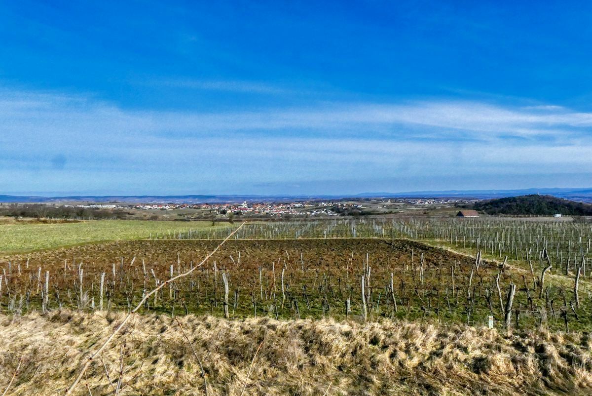
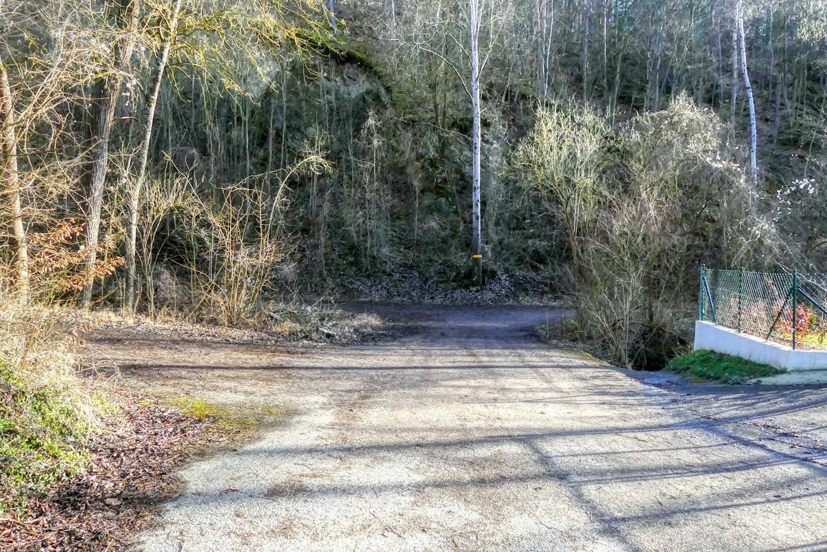
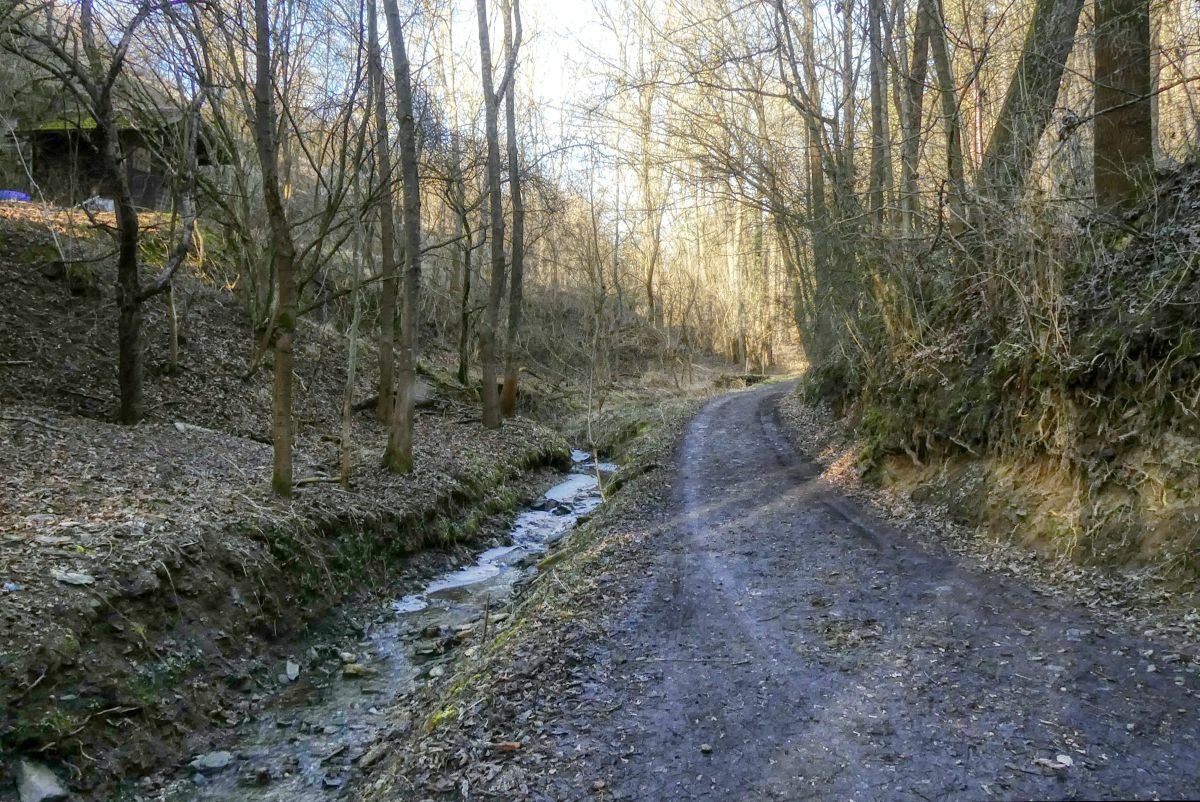
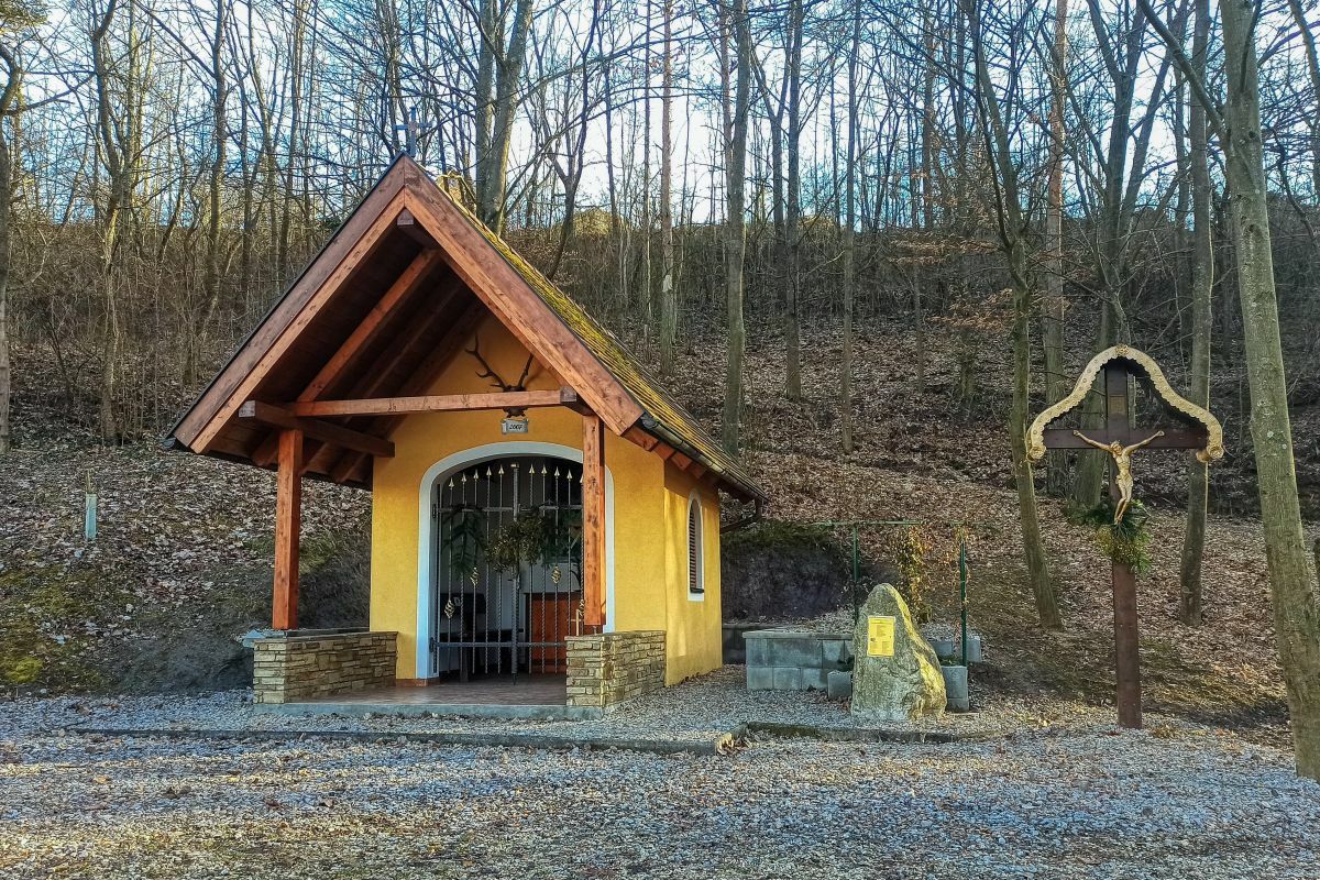
Eine etwas mehr als anderthalbstündige Rundwanderung vom Stratzinger Gemeindeamt über den Prieler Aussichtsturm und die Stratzinger Hubertuskapelle.
- Difficoltà
-
facile
- Valutazione
-
- Punto di partenza
-
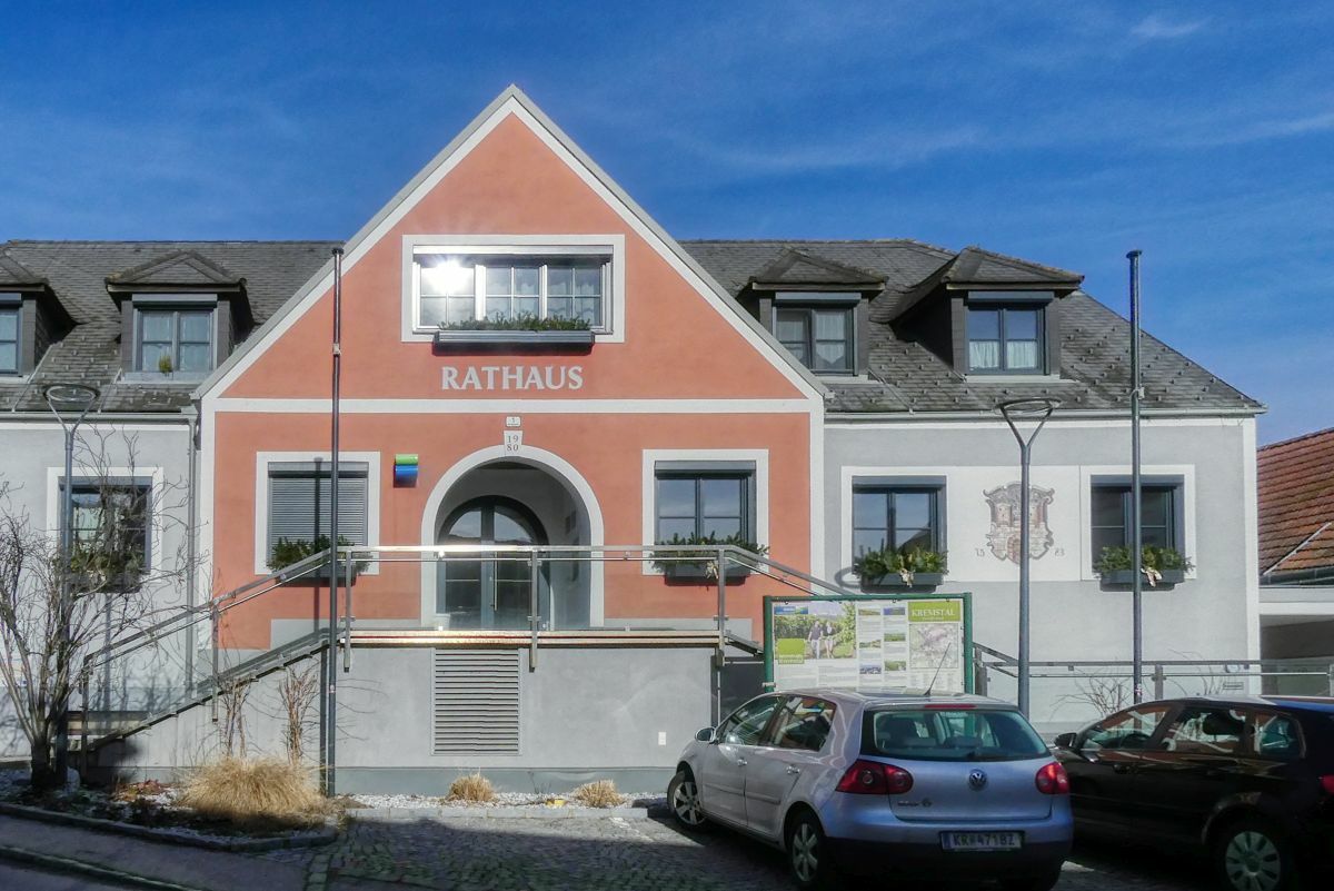
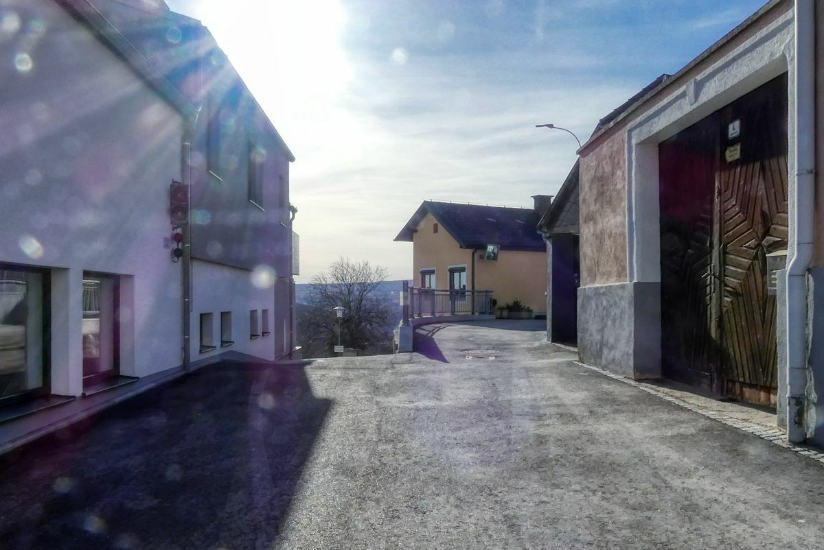
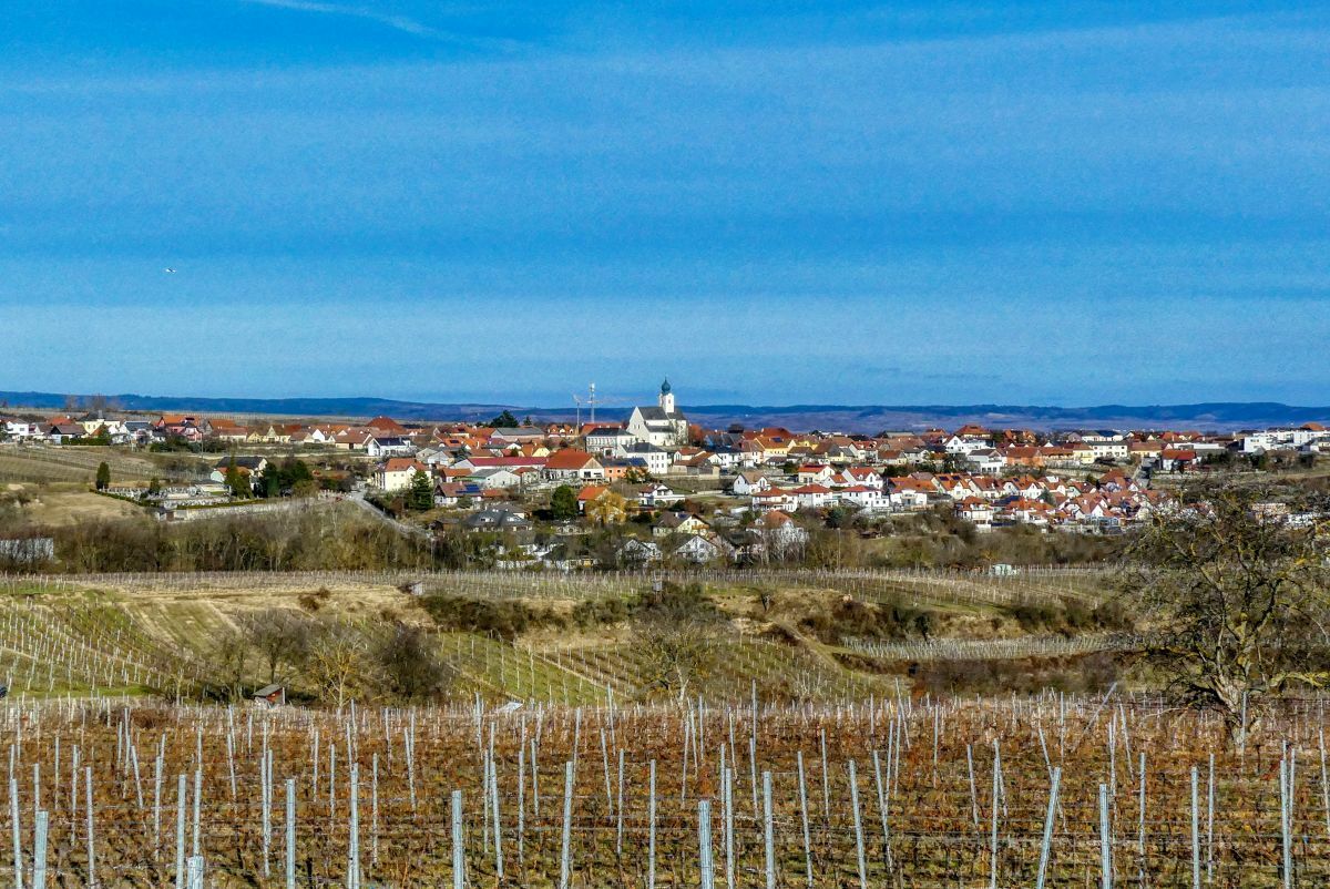
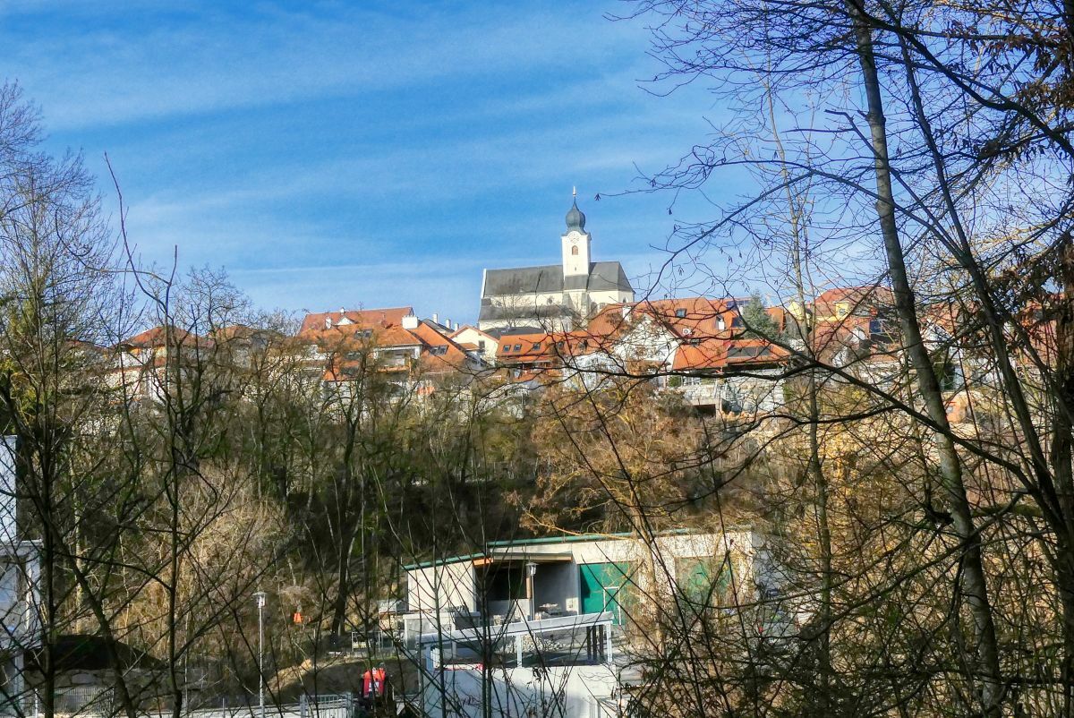
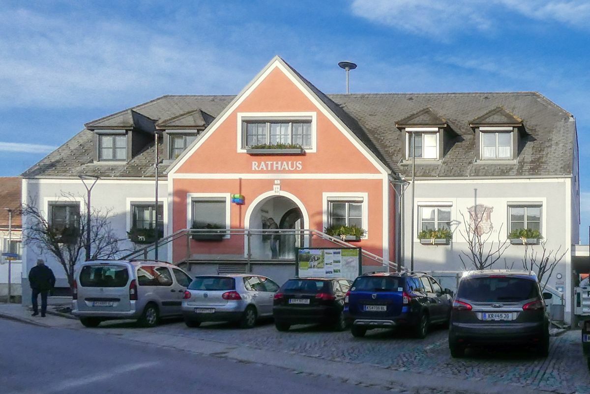
Gemeindeamt Stratzing
- Percorso
-
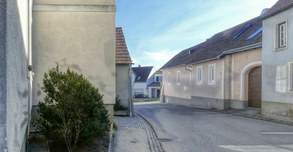
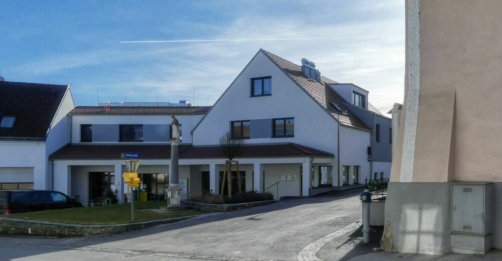
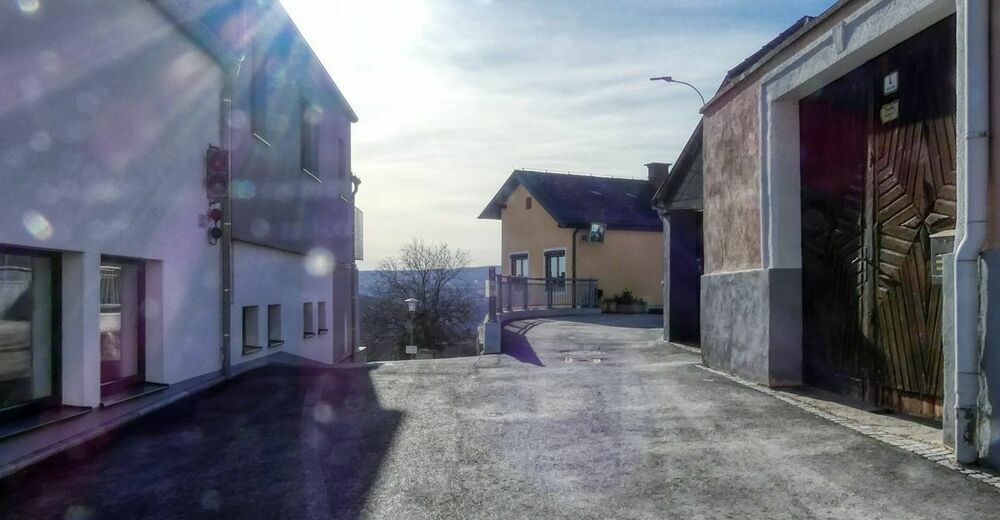
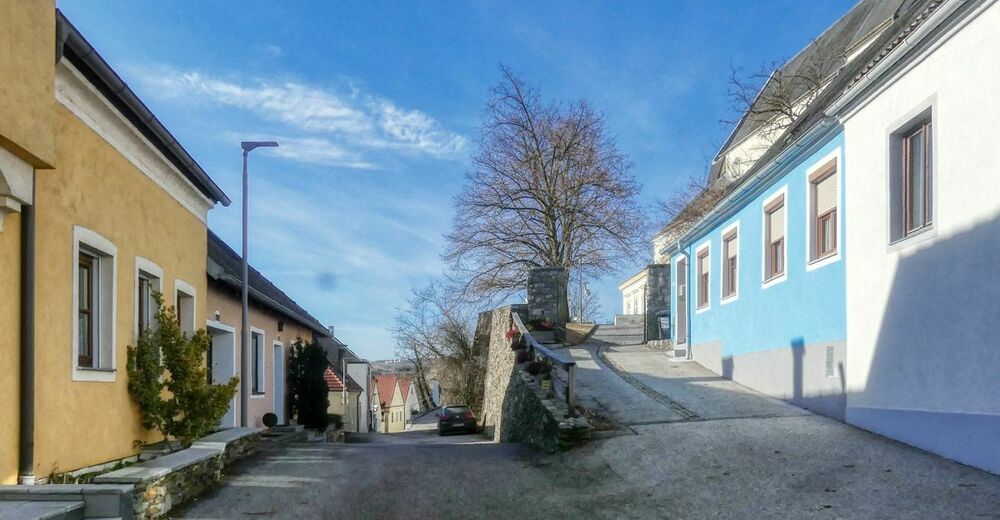
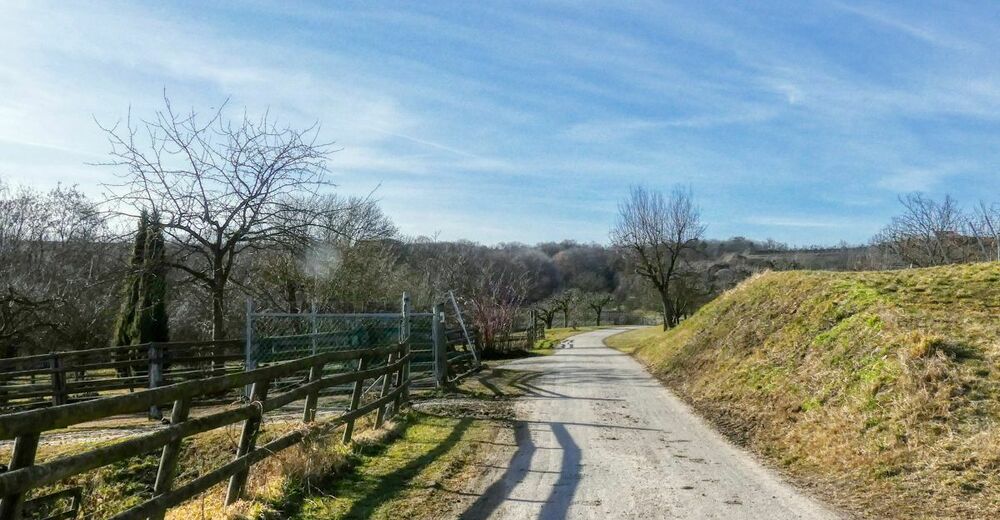
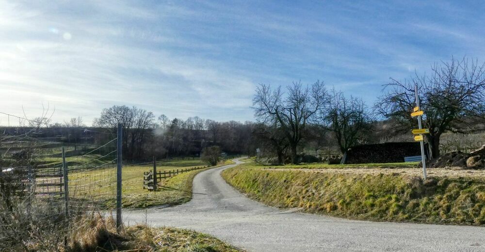
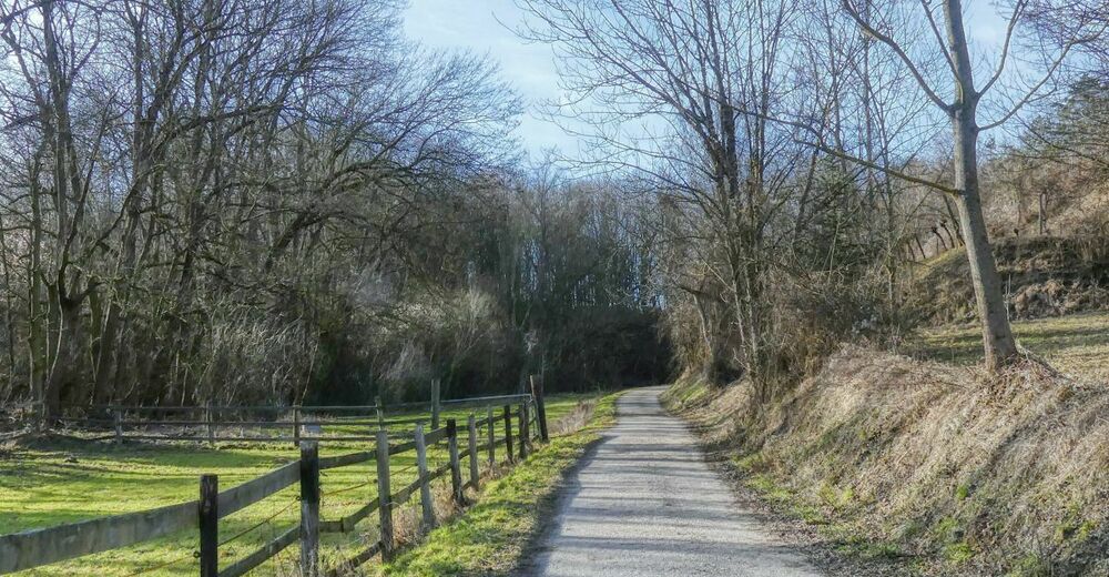
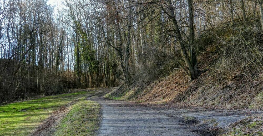
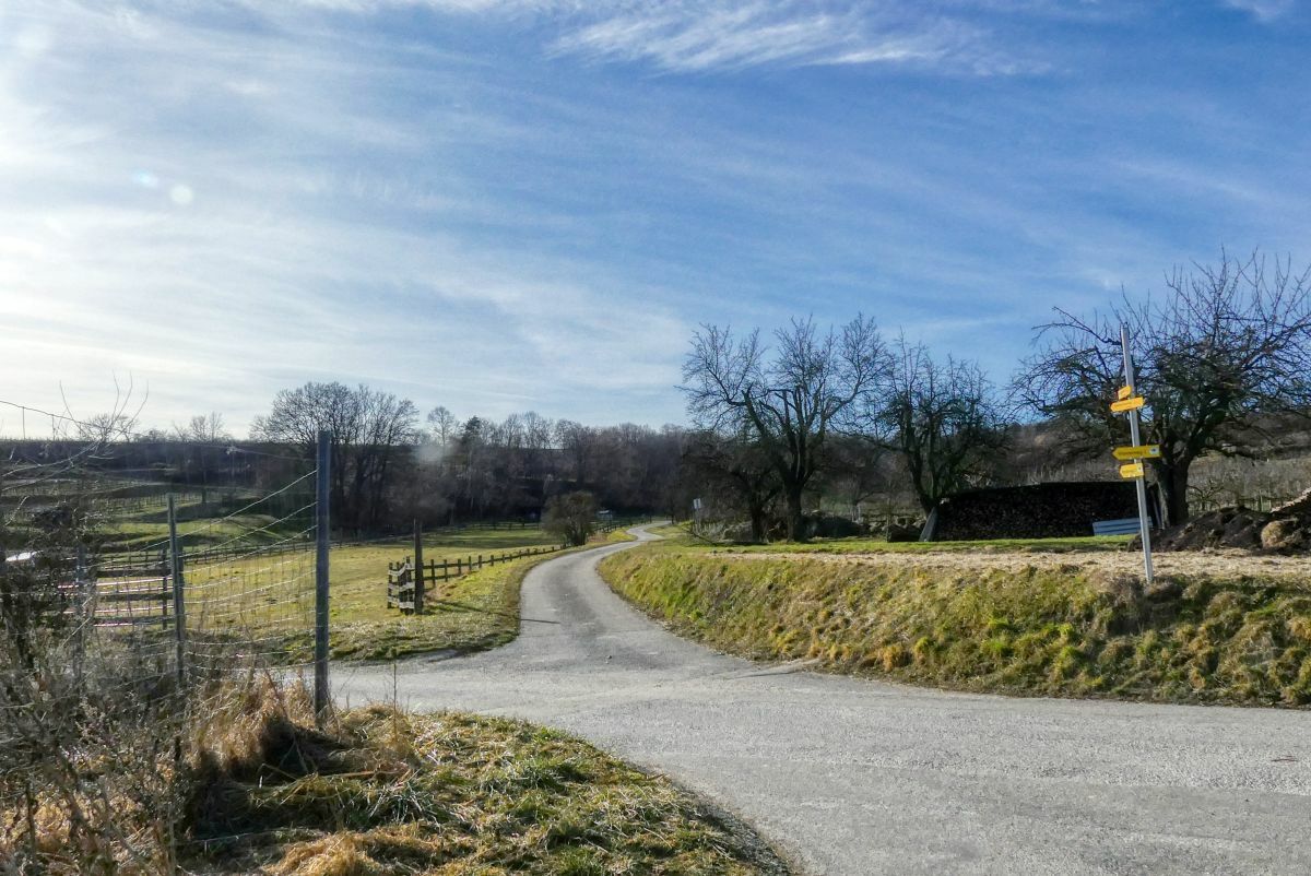
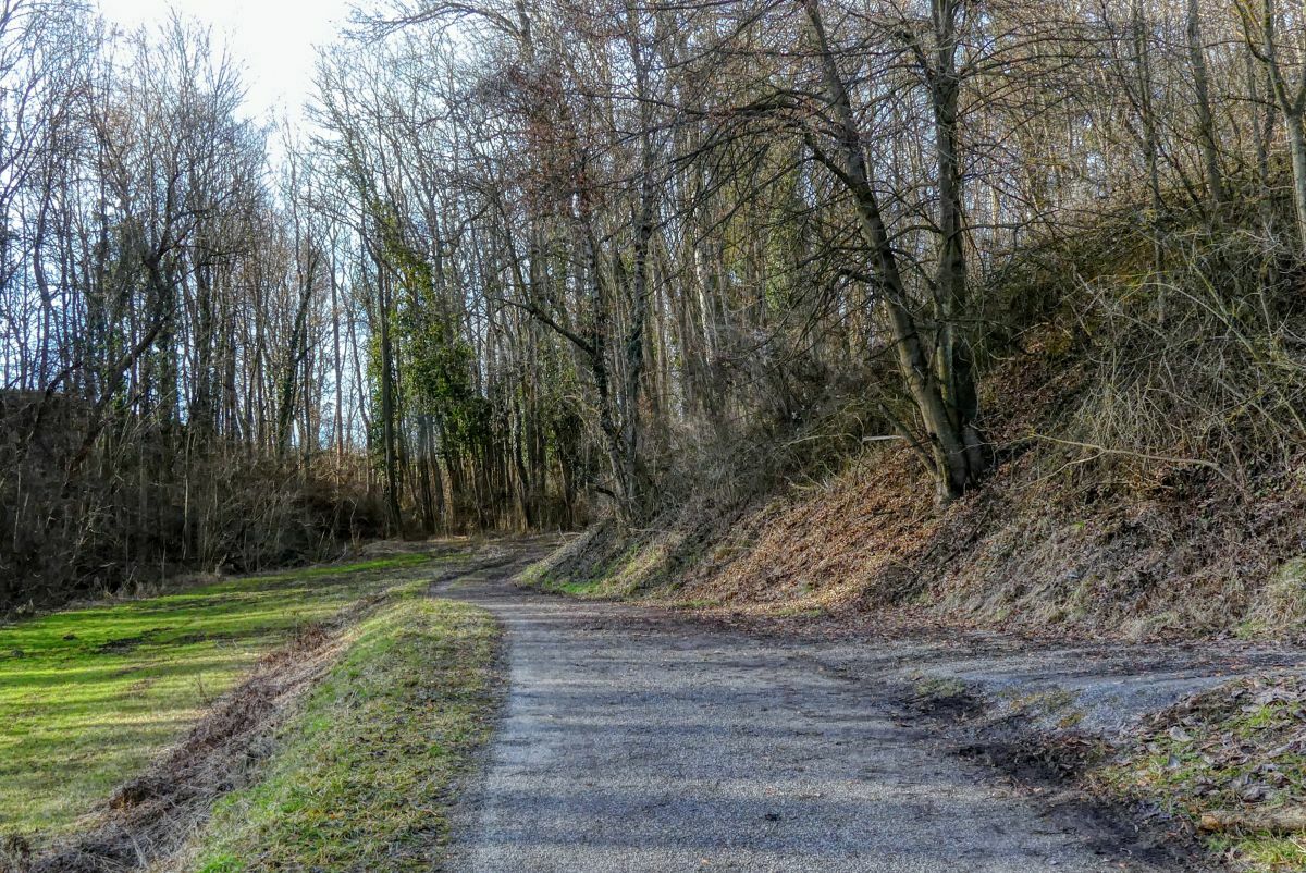
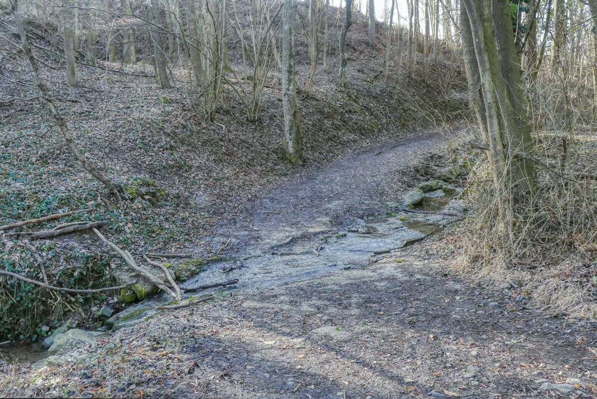
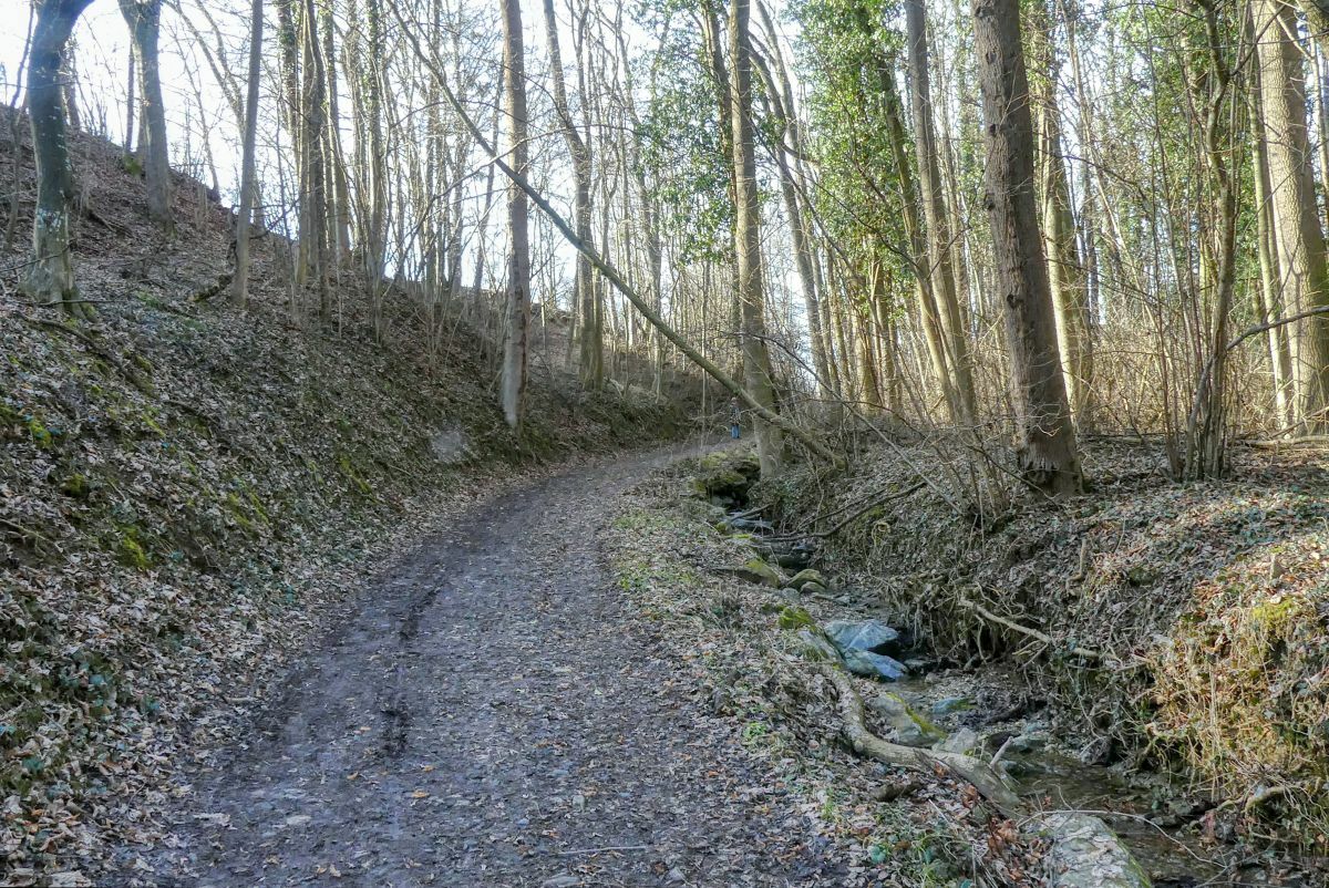
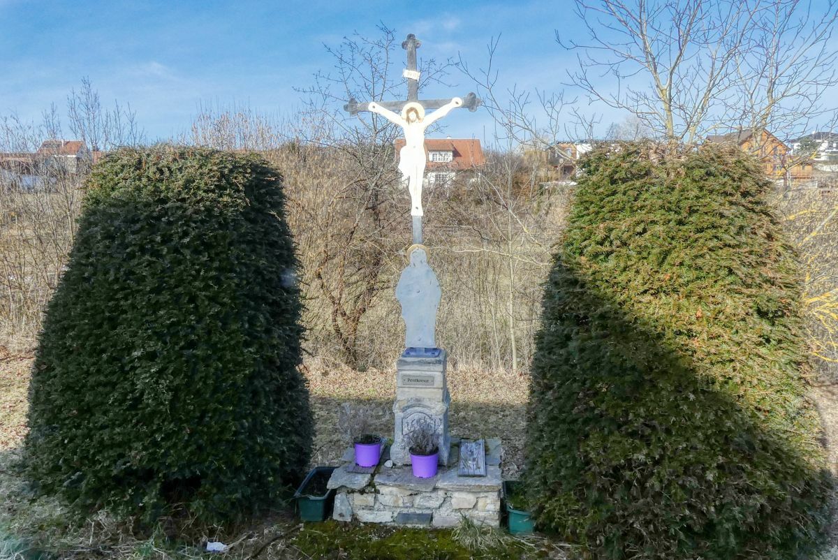
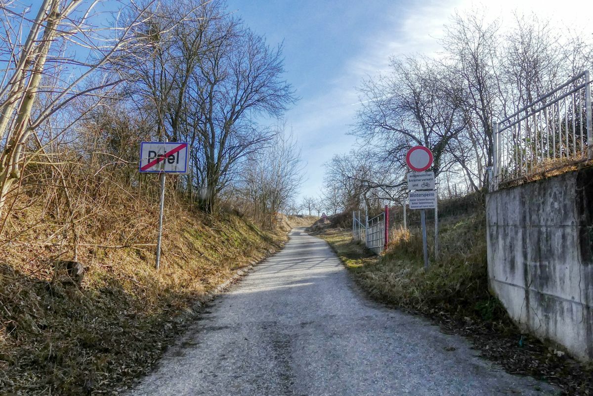
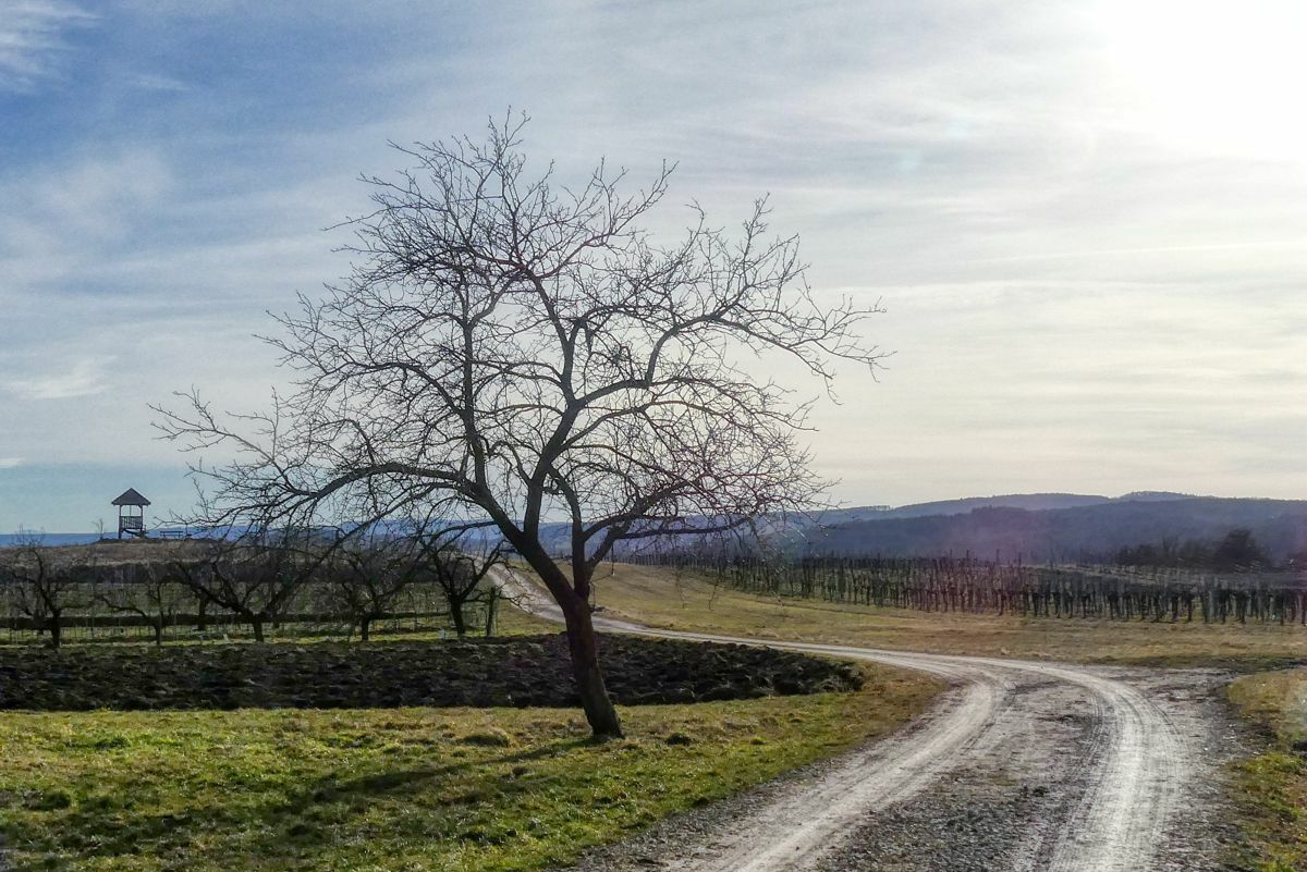
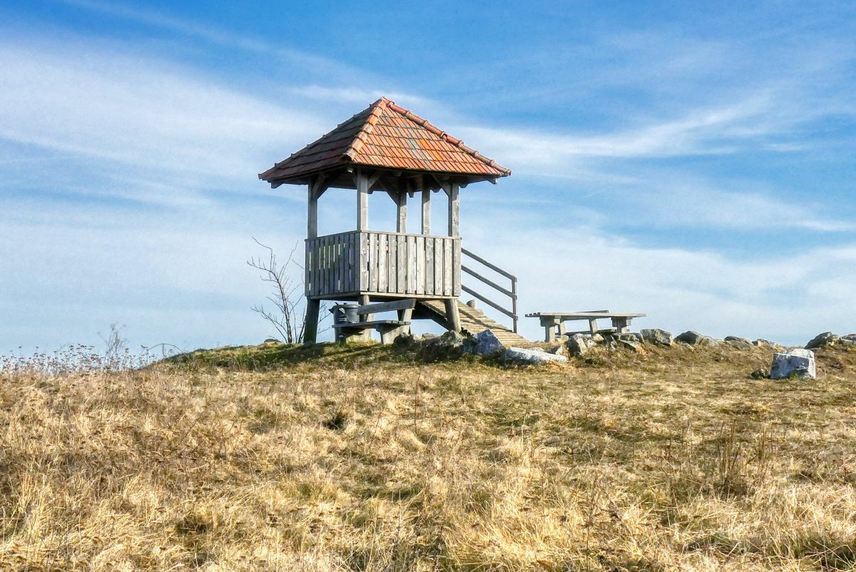
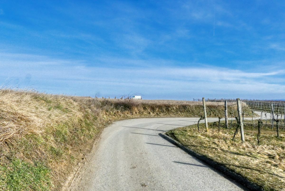
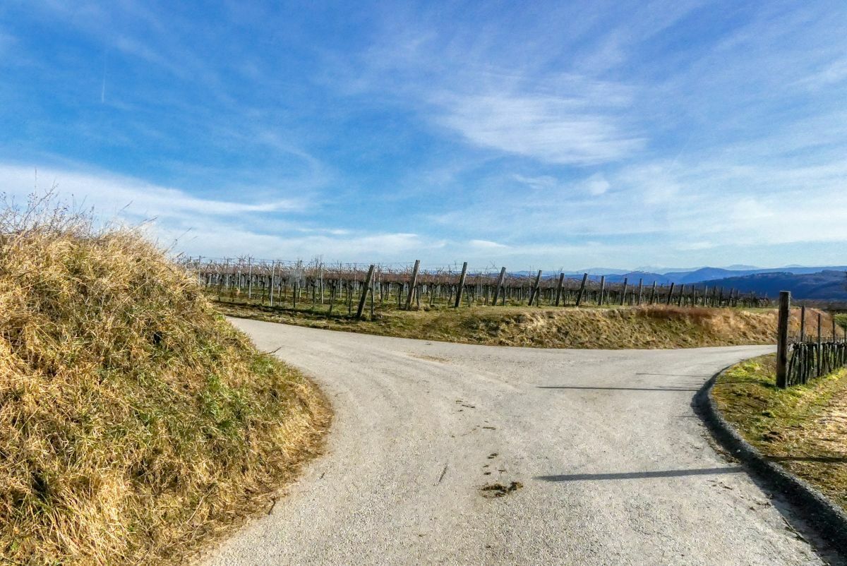
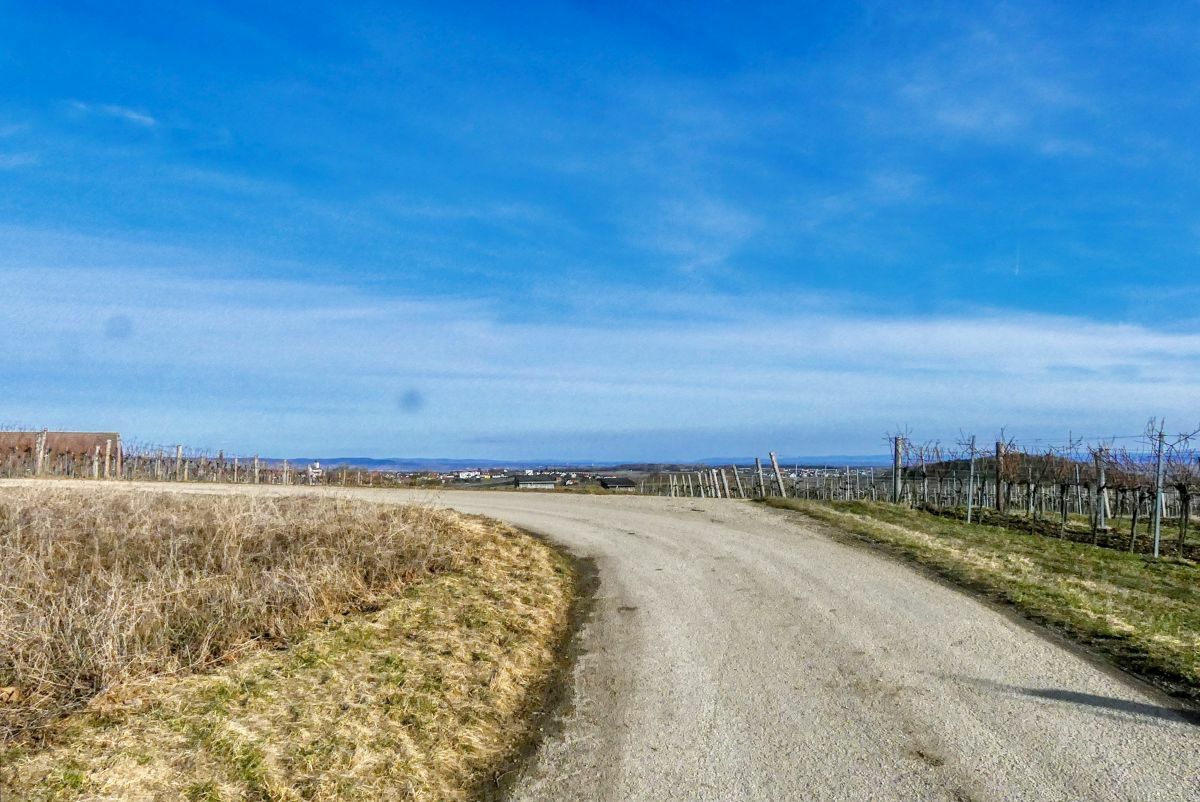
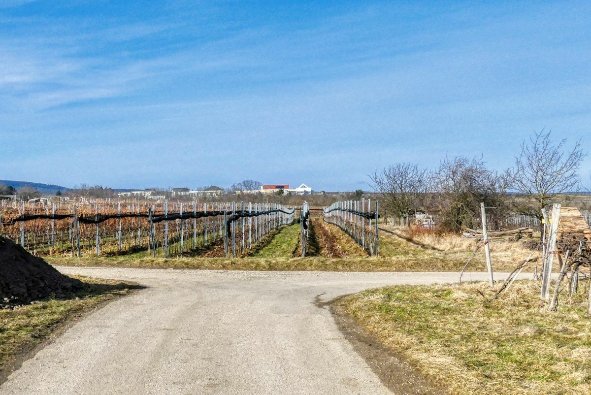
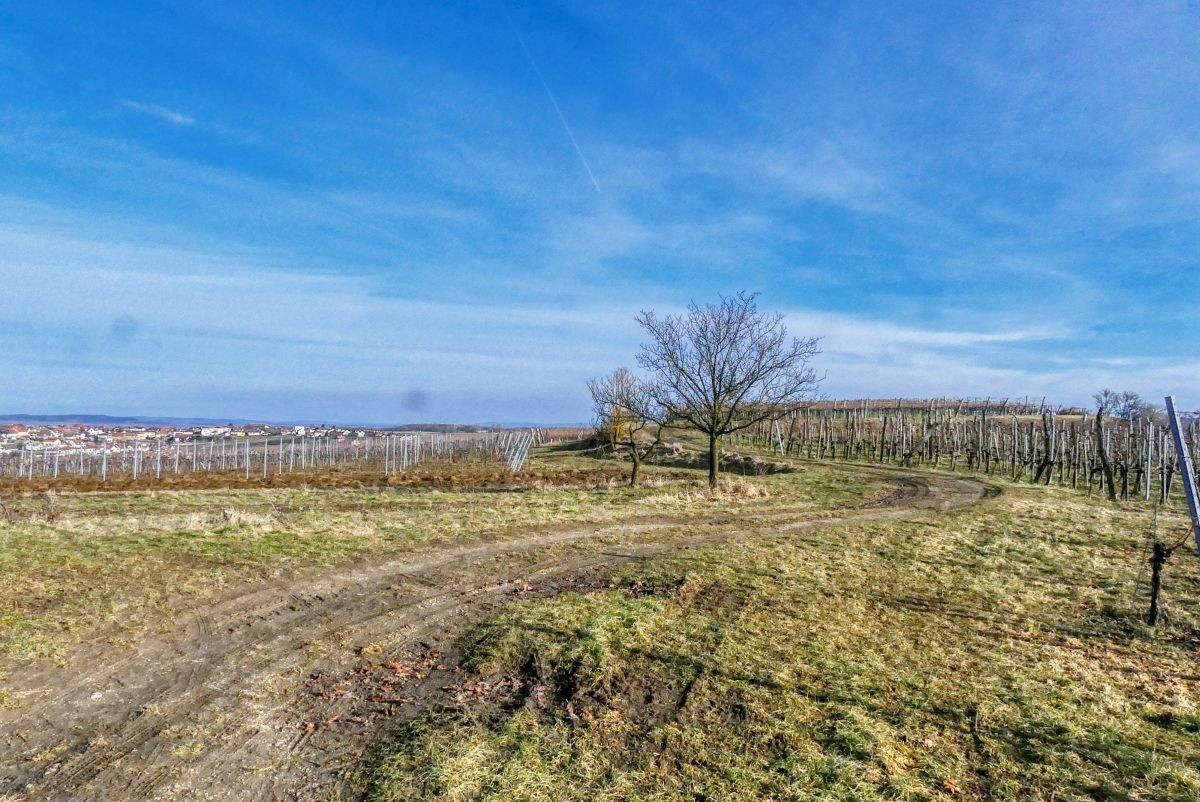
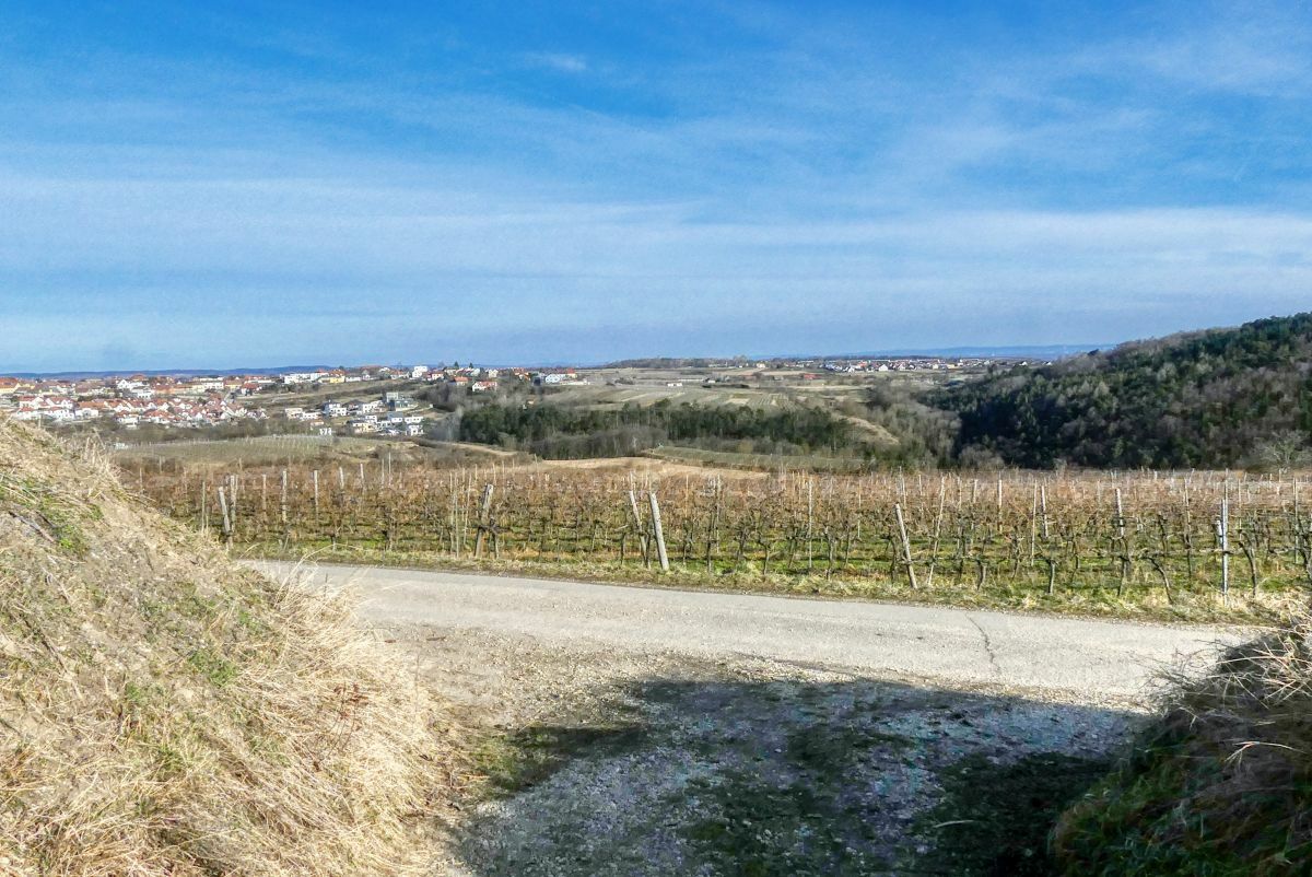
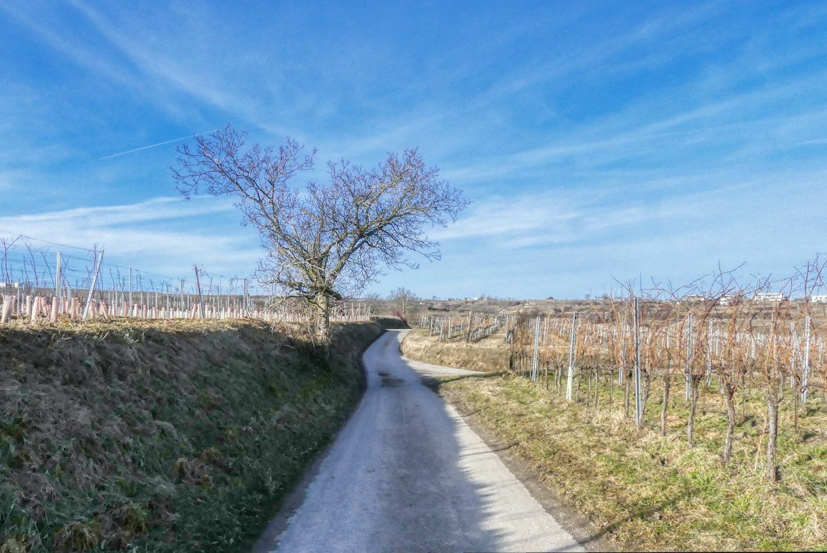
Stratzing0,2 kmPfarrkirche hl. Nikolaus0,2 kmPriel2,0 kmAussichtsturm2,6 kmGasthaus Brauneis5,7 kmWinzerhof Czipin5,7 kmStratzing5,9 km
- La stagione migliore
-
genfebmaraprmaggiulugagosetottnovdic
- Punto più alto
- 399 m
- Destinazione
-
Gemeindeamt Stratzing


- Fonte
- Weinbergwandern.at
GPS Downloads


Condizioni dei sentieri
Asfalto
Ghiaia
Prato
Foresta
Roccia
Esposta
Altri tour nelle regioni
-
Donau Niederösterreich
2287
-
Kamptal - Manhartsberg
1158
-
Stratzing
641


