

© Mostviertel - Stefanie Dornstauder
- Difficoltà
-
facile
- Valutazione
-
- Percorso
-
Gasthaus-Viehandel MarchartNölling3,7 kmGasthof Hirschenwirt4,0 kmGasthaus-Viehandel Marchart4,3 kmGerolding4,4 km
- La stagione migliore
-
genfebmaraprmaggiulugagosetottnovdic
- Punto più alto
- 466 m
- Destinazione
-
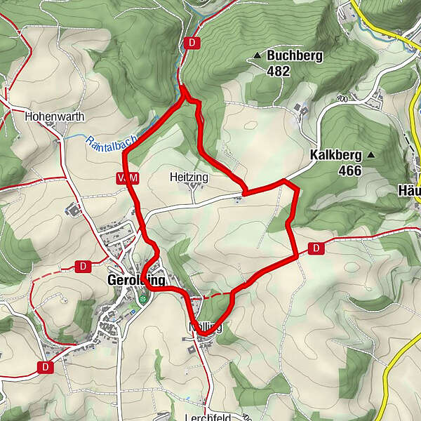
Gerolding Dorfplatz
- Profilo altimetrico
-


- Autore
-
Il tour Hohes Kreuz Rundwanderweg "Hase" è utilizzato da outdooractive.com fornito.
GPS Downloads


Info generali
Punto di ristoro
Altri tour nelle regioni
-
Donau Niederösterreich
2287
-
Dunkelsteinerwald
1373
-
Dunkelsteinerwald
303


