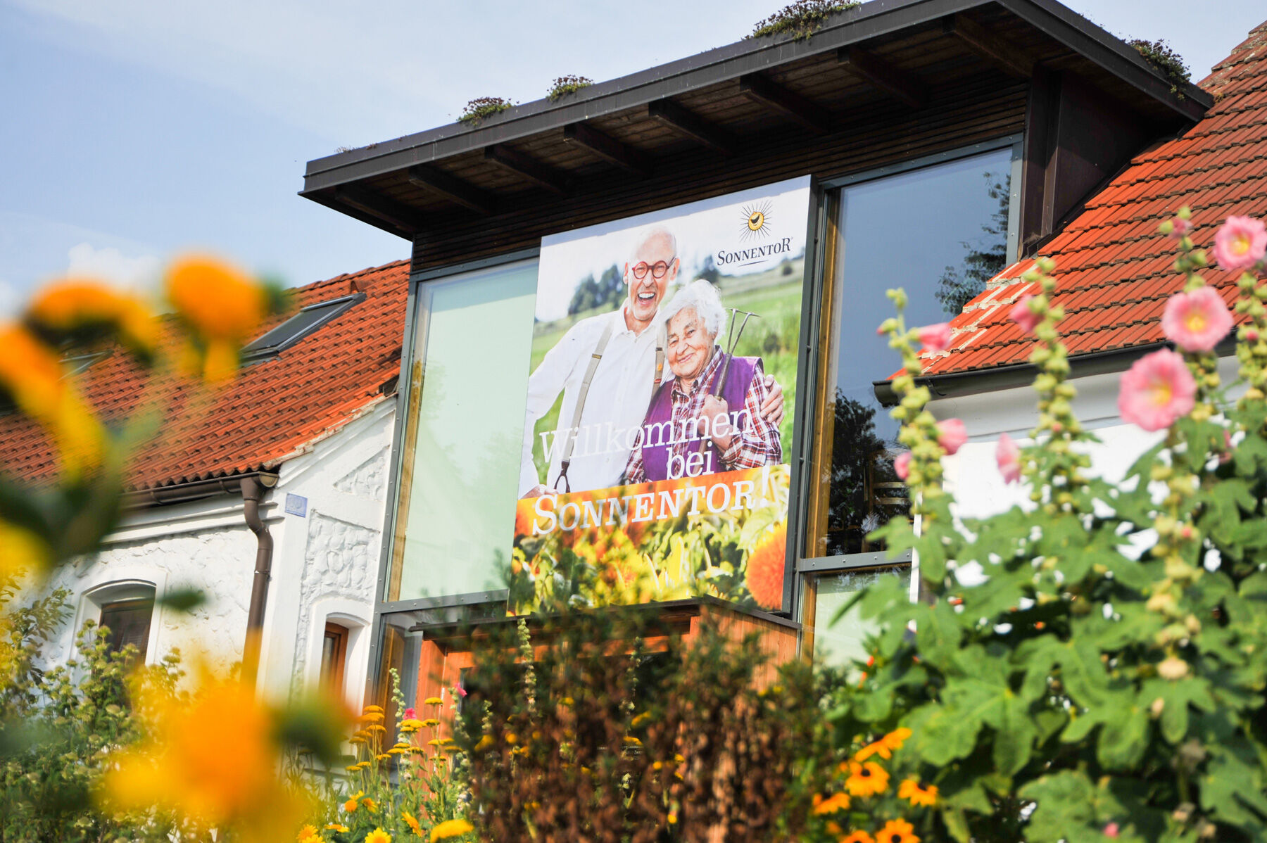
SONNENTOR-Kräuterwanderweg

Logo SONNENTOR-Kräuterwanderweg
Dati percorsi
8,91km
703 - 804m
Distanz
129hm
120hm
L'ascesa
02:30h
 
Durata
Descrizione rapida

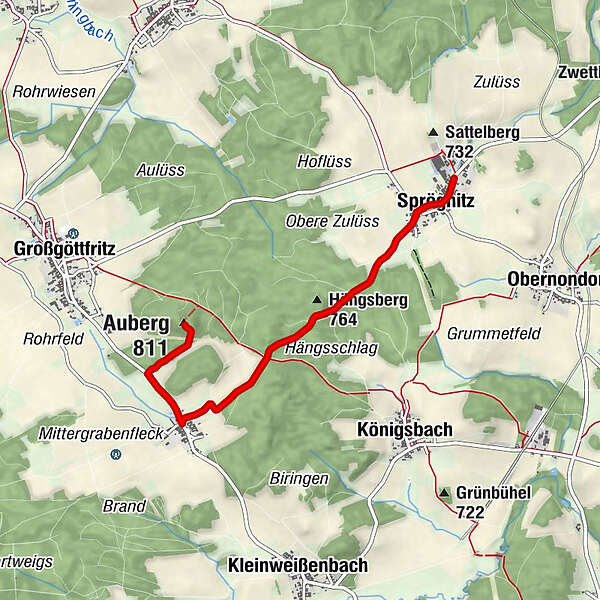
Sprögnitz - Engelbrechts - Sprögnitz

Difficoltà
facile
Valutazione
Tecnica
Forma fisica
Panorama
Avventura / Esperienza
Percorso
Sprögnitz
0,3 km
Aubergfeld
2,3 km
Engelbrechts
3,3 km
Auberg (811 m)
4,3 km
Aubergwarte
4,4 km
Sprögnitz
8,5 km

La stagione migliore
gen
feb
mar
apr
mag
giu
lug
ago
set
ott
nov
dic
Punto più alto
804 m
Destinazione

Fa. SONNENTOR, 3910 Sprögnitz 10

Profilo altimetrico

Autore
Il tour SONNENTOR-Kräuterwanderweg è utilizzato da outdooractive.com fornito.

Valutazione complessiva

5

0

%

4

0

%

3

0

%

2

0

%

1

0

%

Errore
Si è verificato un errore. Si prega di riprovare.
Grazie per la vostra recensione

La valutazione è stata cancellata

GPS Downloads
  • GPX GPS Exchange Format (XML)
  • KML Google Earth, Google Maps
Codici di download QR per telefoni cellulari

Info generali

Punto di ristoro
Culturale/Storico
Flora
Promettente
Altri tour nelle regioni

Tour popolari della zona

ZWalk - Bad Traunstein - Tau Rundweg

facile Sentiero tematico
2,93km | 57hm | 02:00h

ZWalk - Kleiner Bärentrail

facile Sentiero tematico
25,26km | 459hm | 06:18h

Marillenmeile West - Etappe 4

Sentiero tematico
6,02km | 210hm | 01:50h

ZWalk - Bad Traunstein - Bienen-Lehrpfad und Schritteweg

facile Sentiero tematico
1,69km | 20hm | 00:30h