© Marktgemeinde Bad Traunstein

© Marktgemeinde Bad Traunstein - Destination Waldviertel

© Marktgemeinde Bad Traunstein

- Difficoltà
-
facile
- Valutazione
-
- Percorso
-
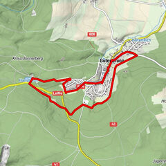
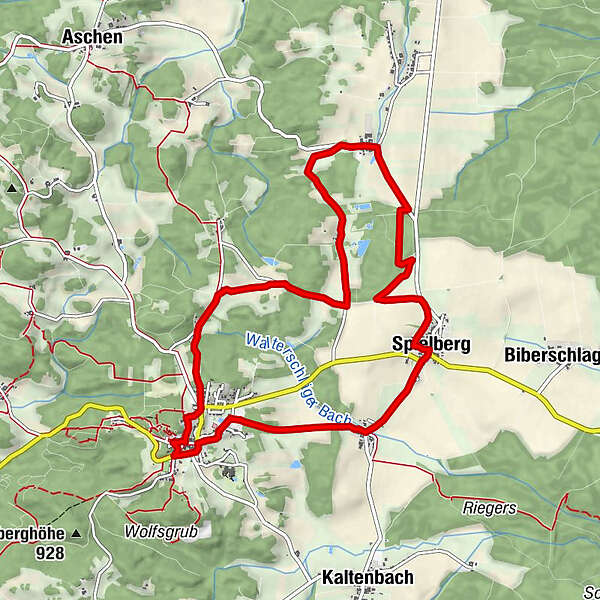
Bad TraunsteinSpitzhof0,9 kmKlein Hummelberg3,1 kmEdlauer3,9 kmPfaffings4,3 kmSpielberg7,0 kmGasthaus Fichtinger7,1 kmOrtskapelle Spielberg7,1 kmGasthaus Teuschl7,2 kmWalterschlag7,9 kmPfarrkirche Bad Traunstein10,1 kmBad Traunstein10,2 km
- La stagione migliore
-
genfebmaraprmaggiulugagosetottnovdic
- Punto più alto
- 920 m
- Destinazione
-
Parkplatz bei der Volksschule
- Profilo altimetrico
-

- Autore
-
Il tour Kräuterweg Nr. 54 Bad Traunstein è utilizzato da outdooractive.com fornito.
GPS Downloads


Info generali
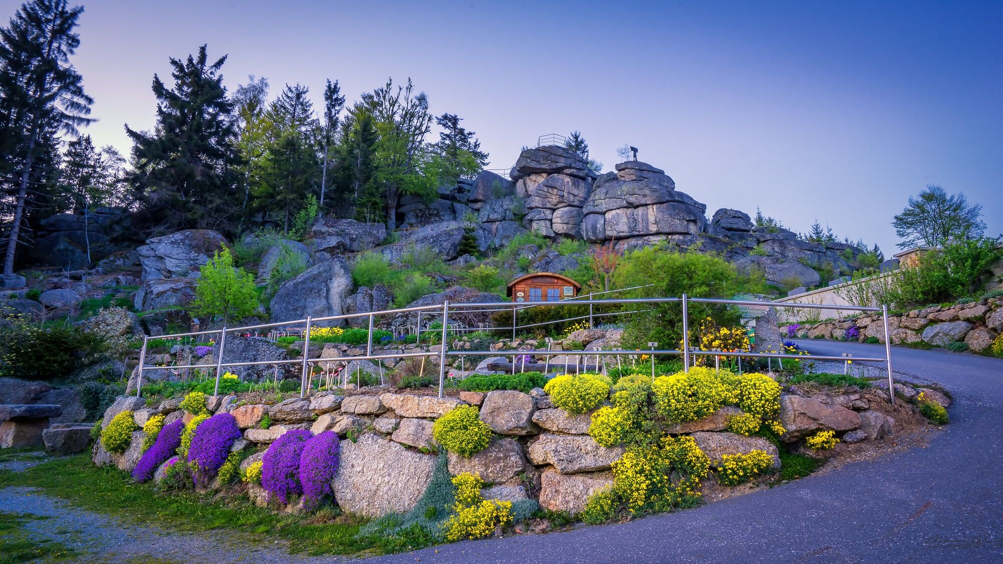
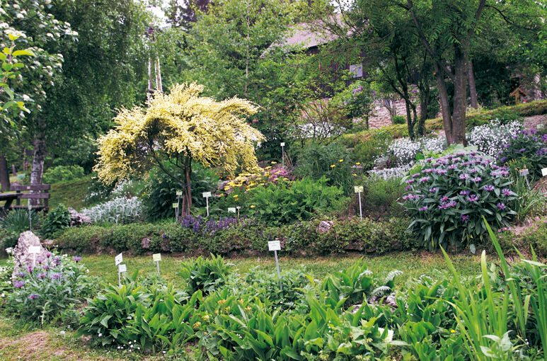
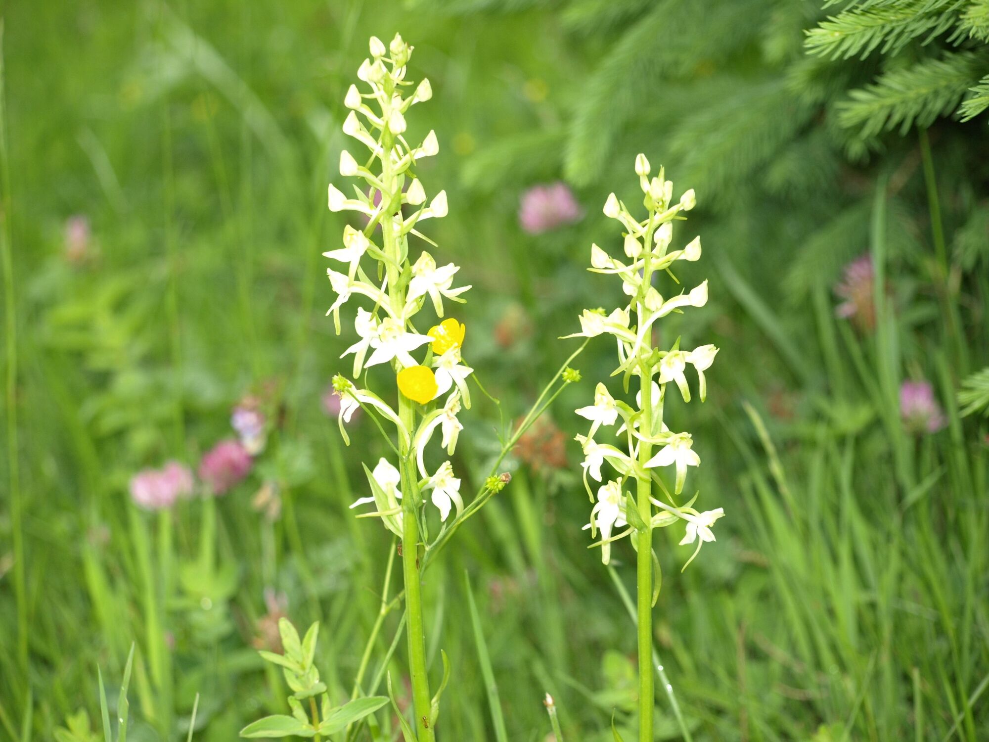
Flora
Fauna
Altri tour nelle regioni
-
Waldviertel
1776
-
Südliches Waldviertel
936
-
Bad Traunstein
273