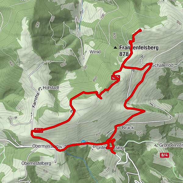
Frankenfels Frankenfelsberg Höhenweg Runde

Sentiero tematico


Dati percorsi
7,43km
711
- 923m
204hm
243hm
02:08h
- Descrizione rapida
-
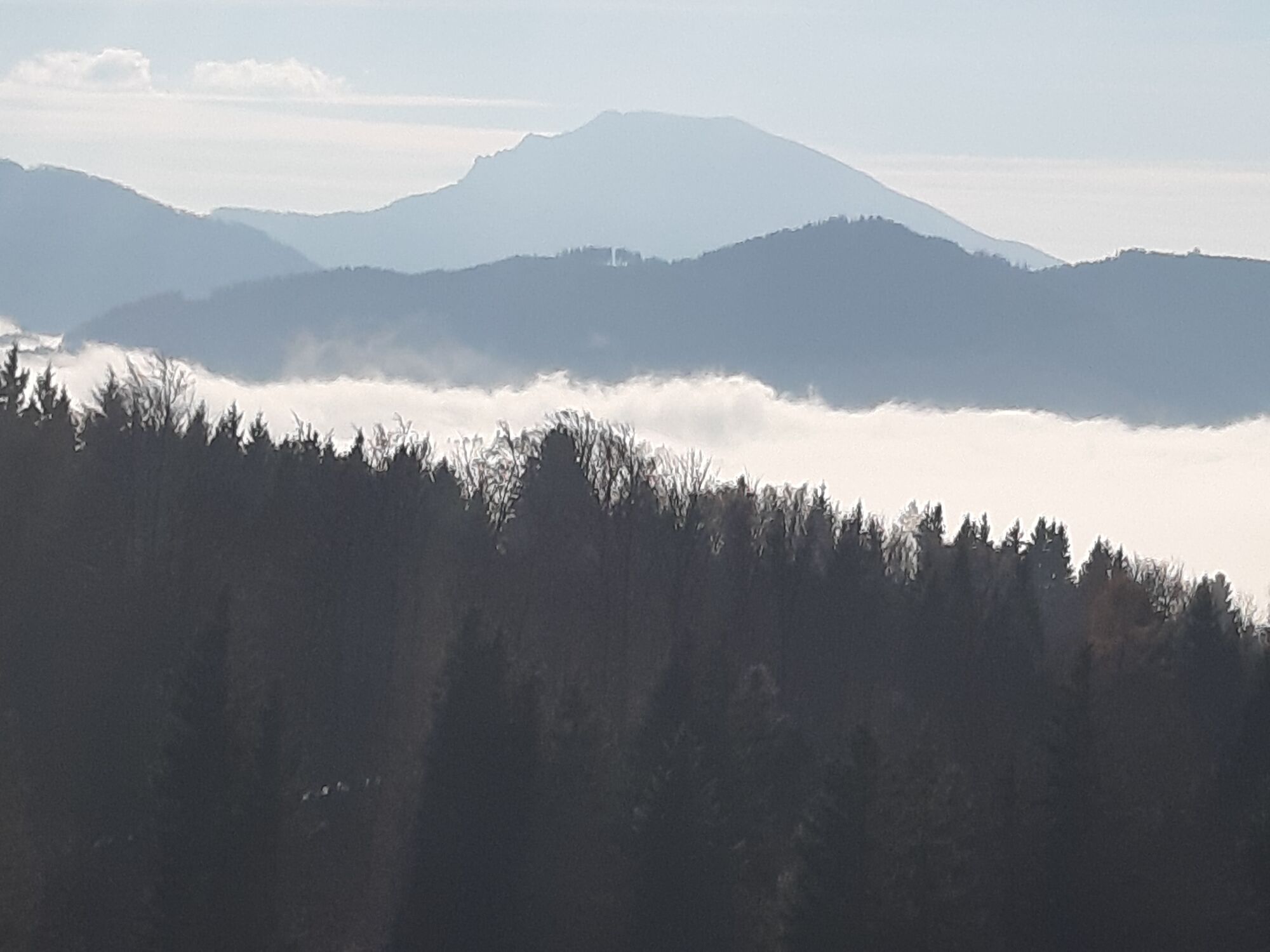
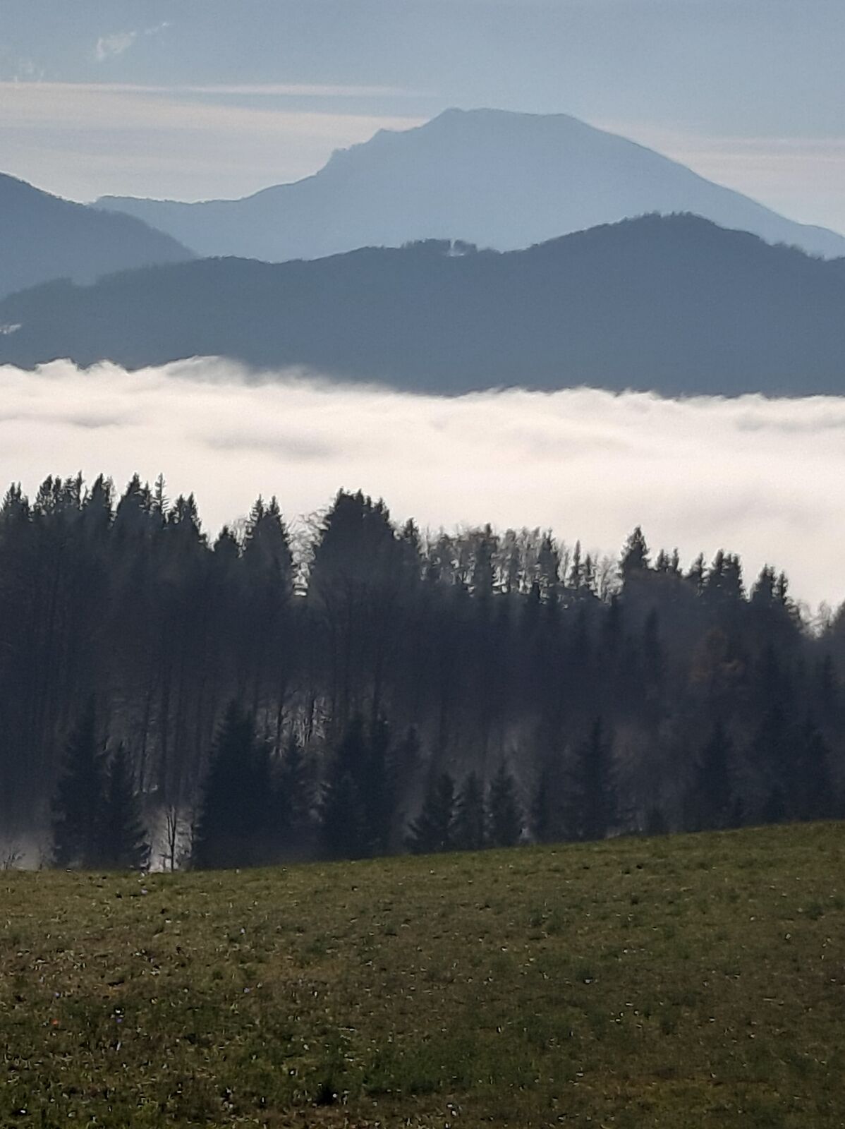
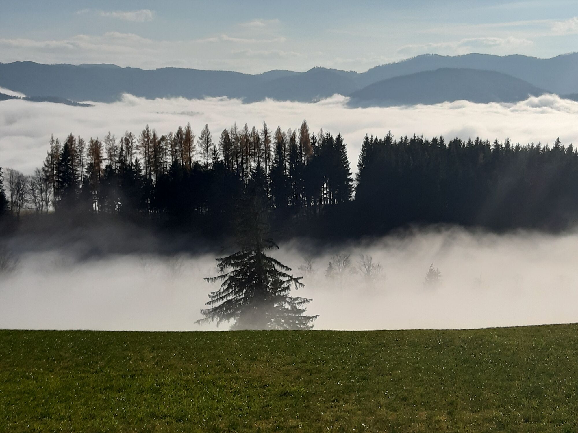
Die Wanderung führt von der Rosenbühelrotte Richtung Untermassing und Hochscharten zum Gipfel und über Schallenöd zurück zum Ausgangspunkt
- Difficoltà
-
facile
- Valutazione
-
- Punto di partenza
-
Kreuzung Rosenbühelrotte, Hofstatt
- Percorso
-
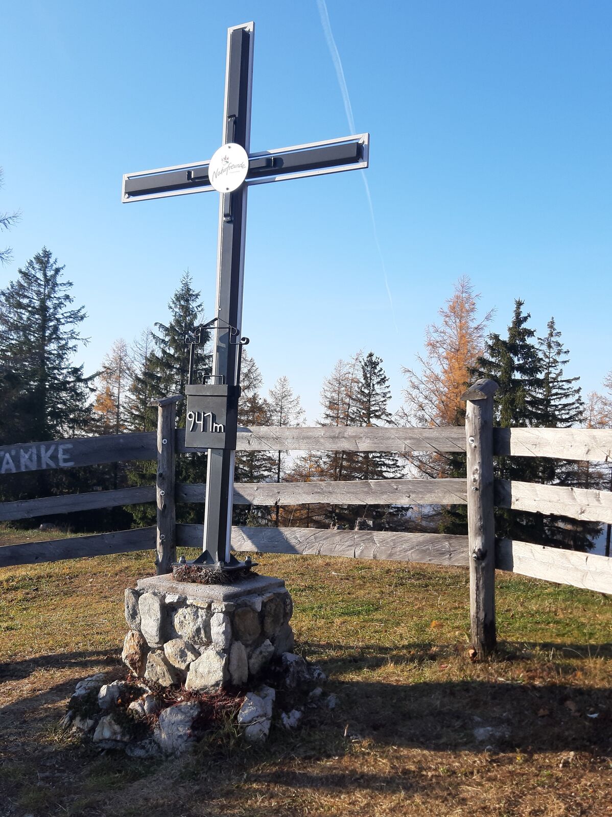
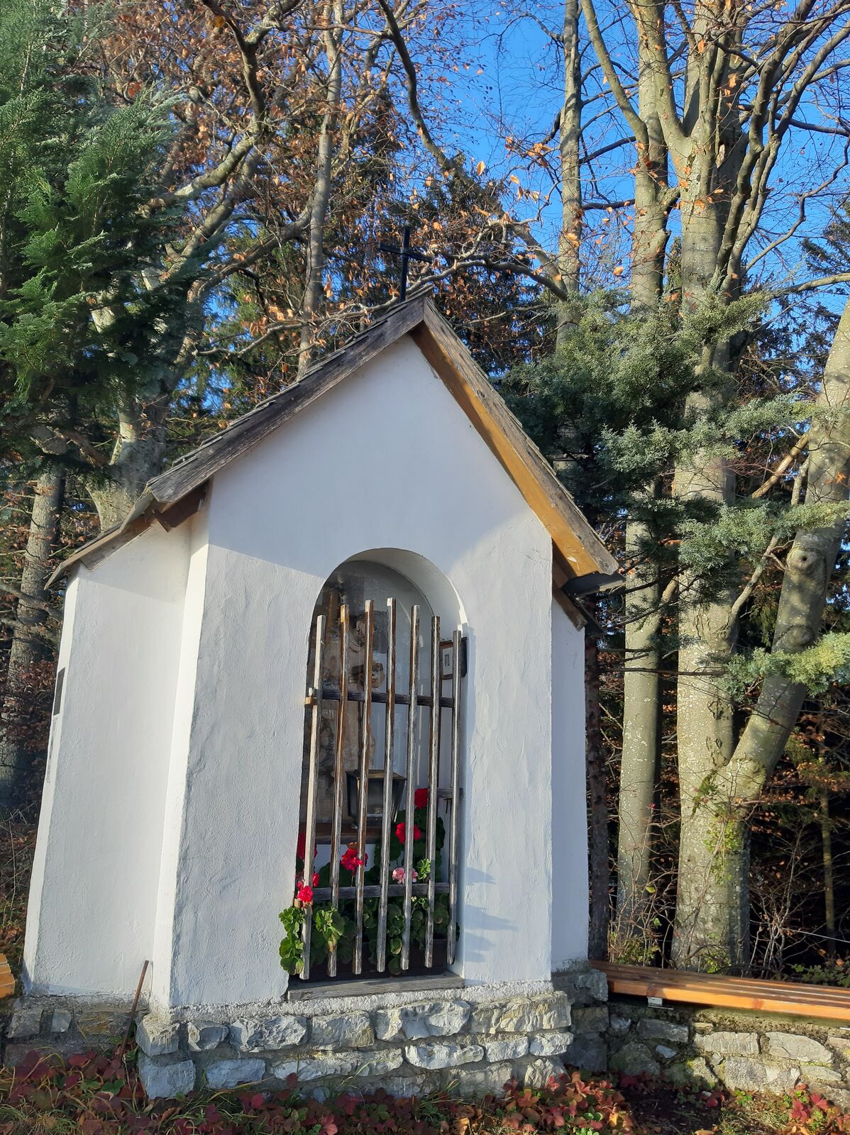
Frankenfelsberg (940 m)3,2 kmBernhardkapelle5,2 kmRosenbühelrotte6,4 km
- La stagione migliore
-
genfebmaraprmaggiulugagosetottnovdic
- Punto più alto
- 923 m
- Destinazione
-
Ausgangspunkt = Zielpunkt
- Riposo/Ritiro
-
Frankenfels oder Plankenstein
- Fonte
- Gertrude Wohlfahrt und Veronika Scheibelhofer
GPS Downloads


Condizioni dei sentieri
Asfalto
Ghiaia
Prato
Foresta
Roccia
Esposta
Altri tour nelle regioni
-
Mostviertel
2453
-
Pielachtal
1115
-
Frankenfels
301