Dati percorsi
68,62km
407
- 1.138m
1.865hm
1.307hm
12:05h
- Descrizione rapida
-
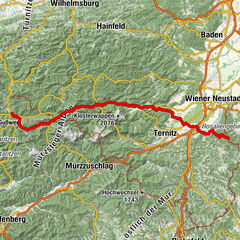
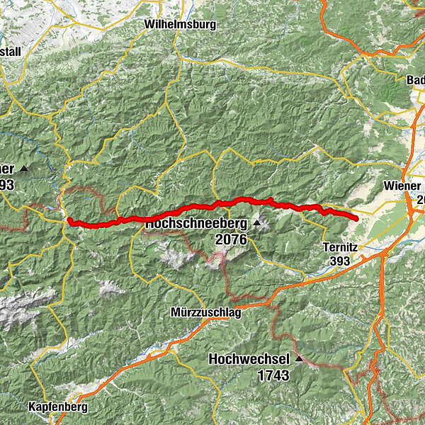
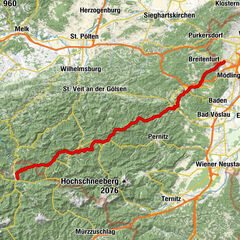
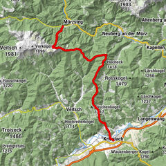
Würflach - Lahnsattel - Mariazell
- Difficoltà
-
intermedio
- Valutazione
-
- Percorso
-
Johannesquelle1,1 kmKlammWirtin Schneebergland1,5 kmViehlucka1,9 kmKlammwirthöhle2,4 kmGreith4,2 kmRosental5,9 kmHornungstal7,3 kmPfennigbach12,1 kmWilhelm-Frey-Ruhe12,6 kmSierning13,8 kmPuchberg am Schneeberg14,0 kmUnternberg17,6 kmSebastian-Halbhöhle20,5 kmPutzkapelle24,7 kmWaldkapelle29,6 kmVois29,9 kmGasthof Bacherlwirt34,6 kmPreinmühle37,7 kmUntere Preinmühlenhöhle37,7 kmObere Preinmühlenhöhle37,7 kmPreintal40,2 kmWesteingang (1.054 m)43,6 kmDonaudörfl51,3 kmLahnsattel52,3 kmKarstquelle?53,5 kmGasthaus zur Österreichischen Grenze56,7 kmTerz56,7 kmHalltal63,2 kmDorfgasthaus Halltal63,2 kmUnteres Halltal64,7 kmGasthaus "Zur Weinperle"66,1 kmSt. Josef68,4 kmMariazell68,5 kmMichaelskapelle68,6 km
- La stagione migliore
-
genfebmaraprmaggiulugagosetottnovdic
- Punto più alto
- Gscheidl (1.138 m)
- Fonte
- Toni Sommer
GPS Downloads


Condizioni dei sentieri
Asfalto
(20%)
Ghiaia
(30%)
Prato
(30%)
Foresta
(20%)
Roccia
Esposta
Altri tour nelle regioni
-
Hochsteiermark
4075
-
Welterbe Semmeringeisenbahn
2074
-
Schwarzau im Gebirge
539


 Franz Zwickl")