Dati percorsi
28,92km
262
- 466m
626hm
603hm
04:30h

- Descrizione rapida
-
Die bekannten Touren um Horn und Kamptal in einer Singeltrail-Varaiante.
- Difficoltà
-
difficile
- Valutazione
-
- Punto di partenza
-
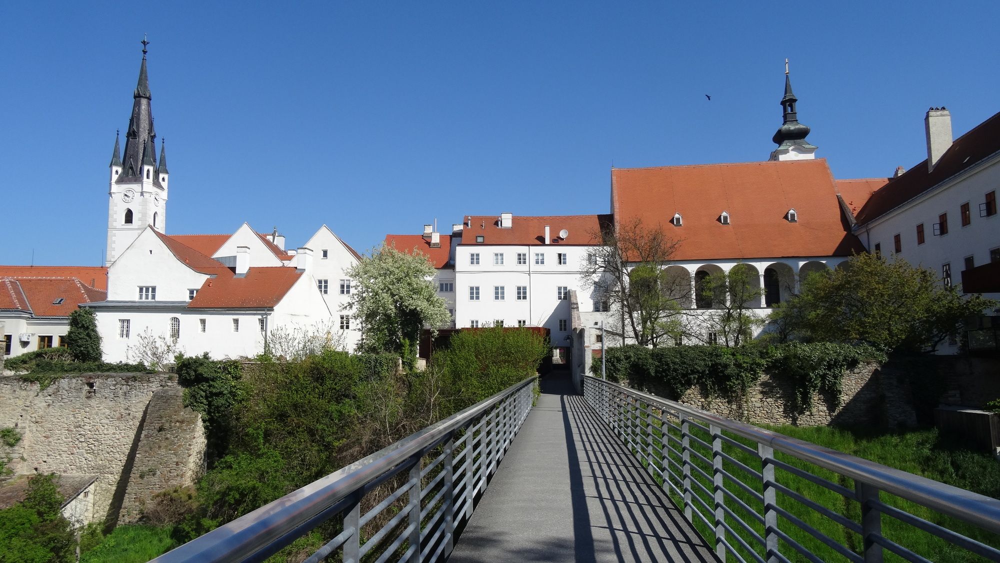
Horn
- Percorso
-
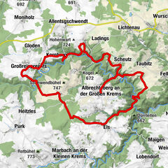
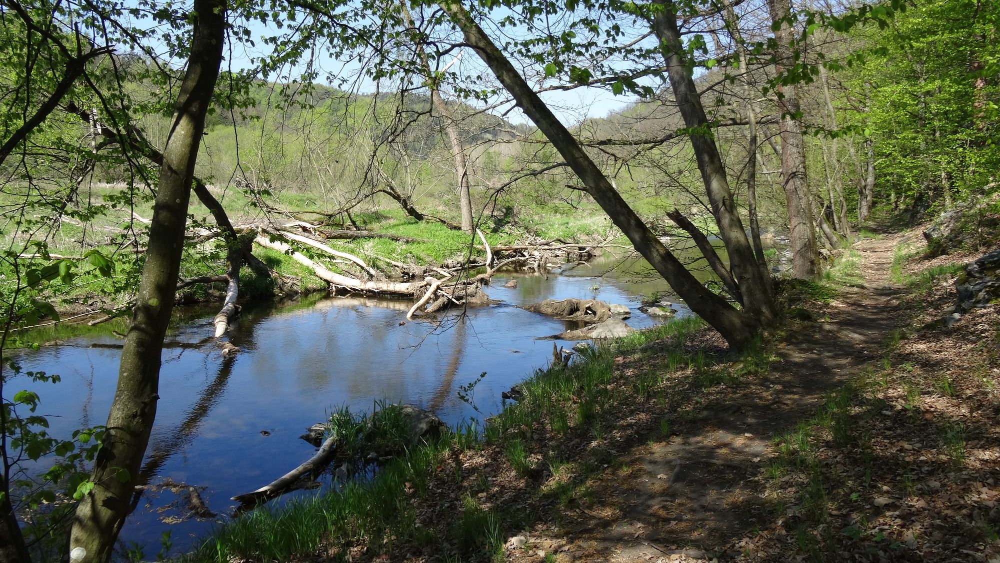
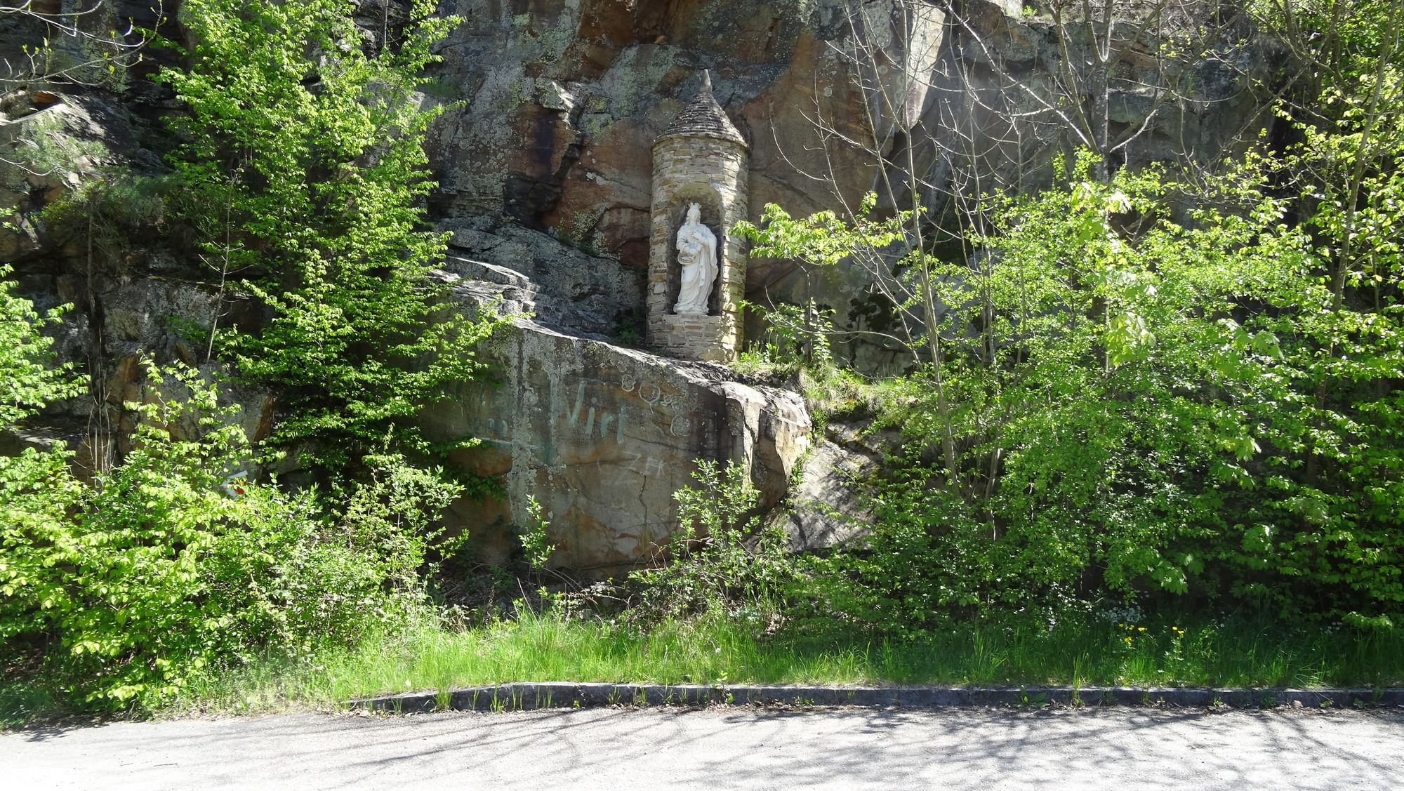
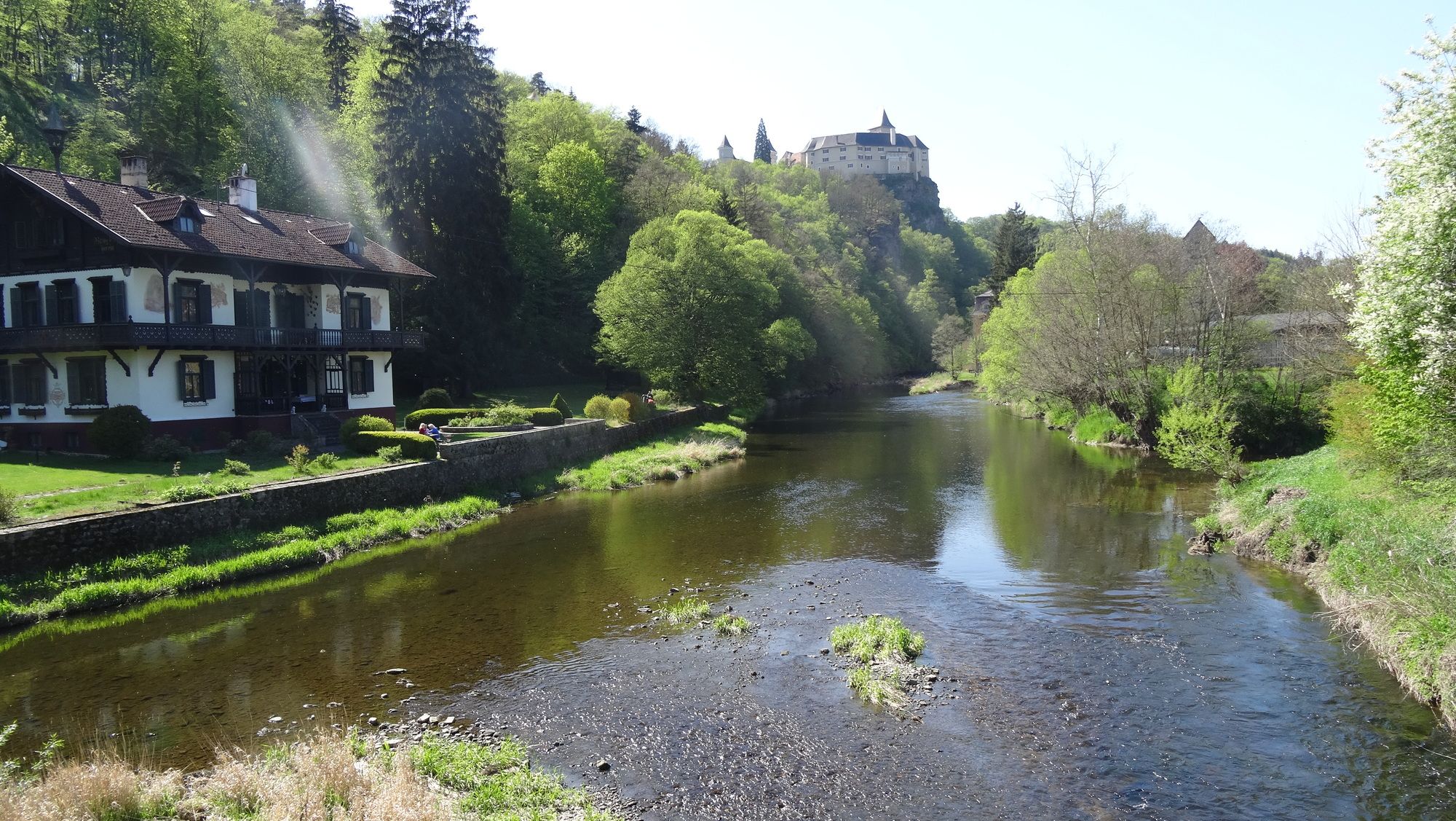
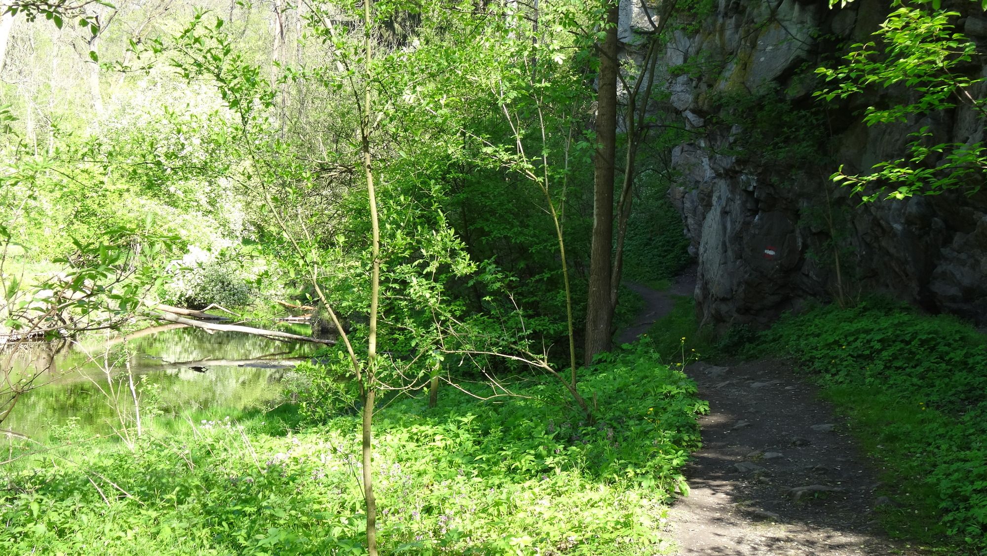
Piaristenkirche0,4 kmHorn (311 m)0,4 kmMühlfeld3,3 kmElendgrabenhöhle17,7 kmHängender-Stein-Durchstieg17,7 kmSchlossgasthof Rosenburg20,2 kmGraselhöhle20,8 kmHotel Restaurant Landgasthof Mann21,1 kmRosenburg am Kamp21,2 kmElisabethkapelle21,5 kmCanisius-Kapelle21,7 kmPiaristenkirche28,4 kmHorn (311 m)28,4 km
- La stagione migliore
-
genfebmaraprmaggiulugagosetottnovdic
- Punto più alto
- In der Sulz (466 m)
- Destinazione
-
Horn
- Riposo/Ritiro
-
Schlossgasthof Rosenburg
- Cartine
-
MTB-Karte Waldviertel, Blatt U


- Fonte
- hoth
GPS Downloads


Percorsi
Asfalto
(10%)
Ghiaia
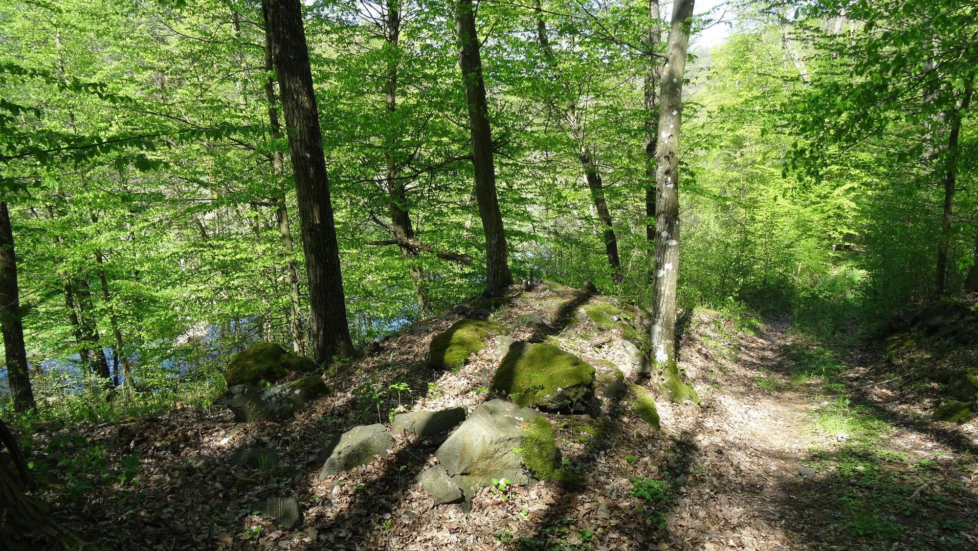
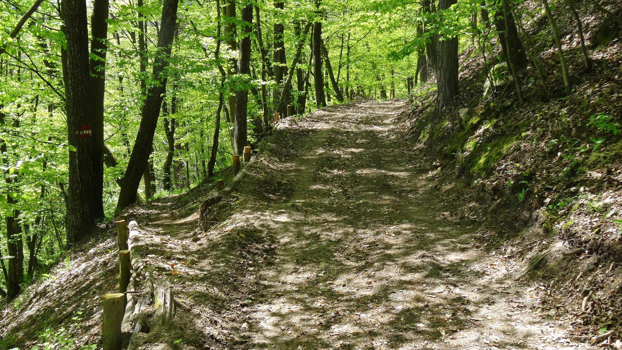
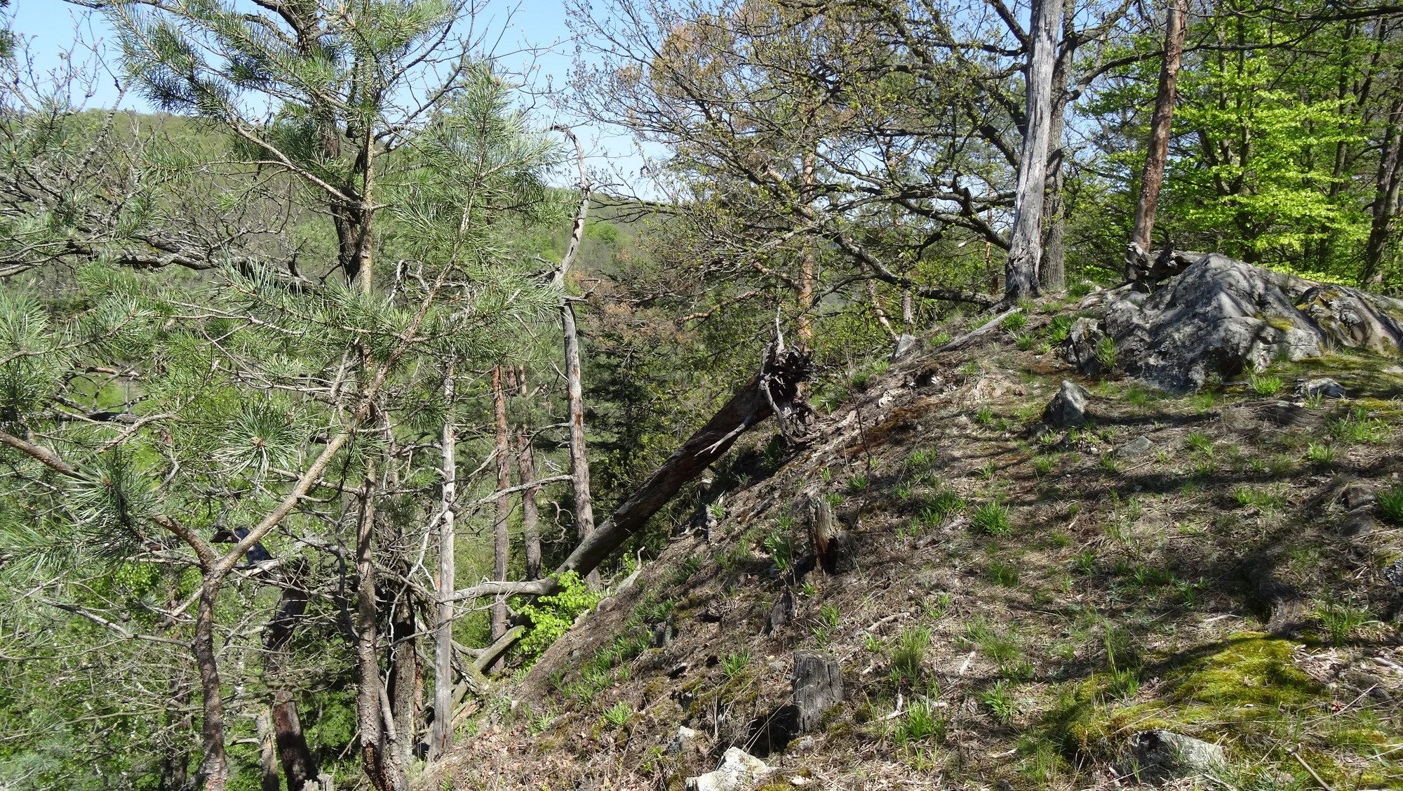
Foresta
Vie di montagna
Singletrail
(70%)
Trial
(20%)
Traffico
Altri tour nelle regioni