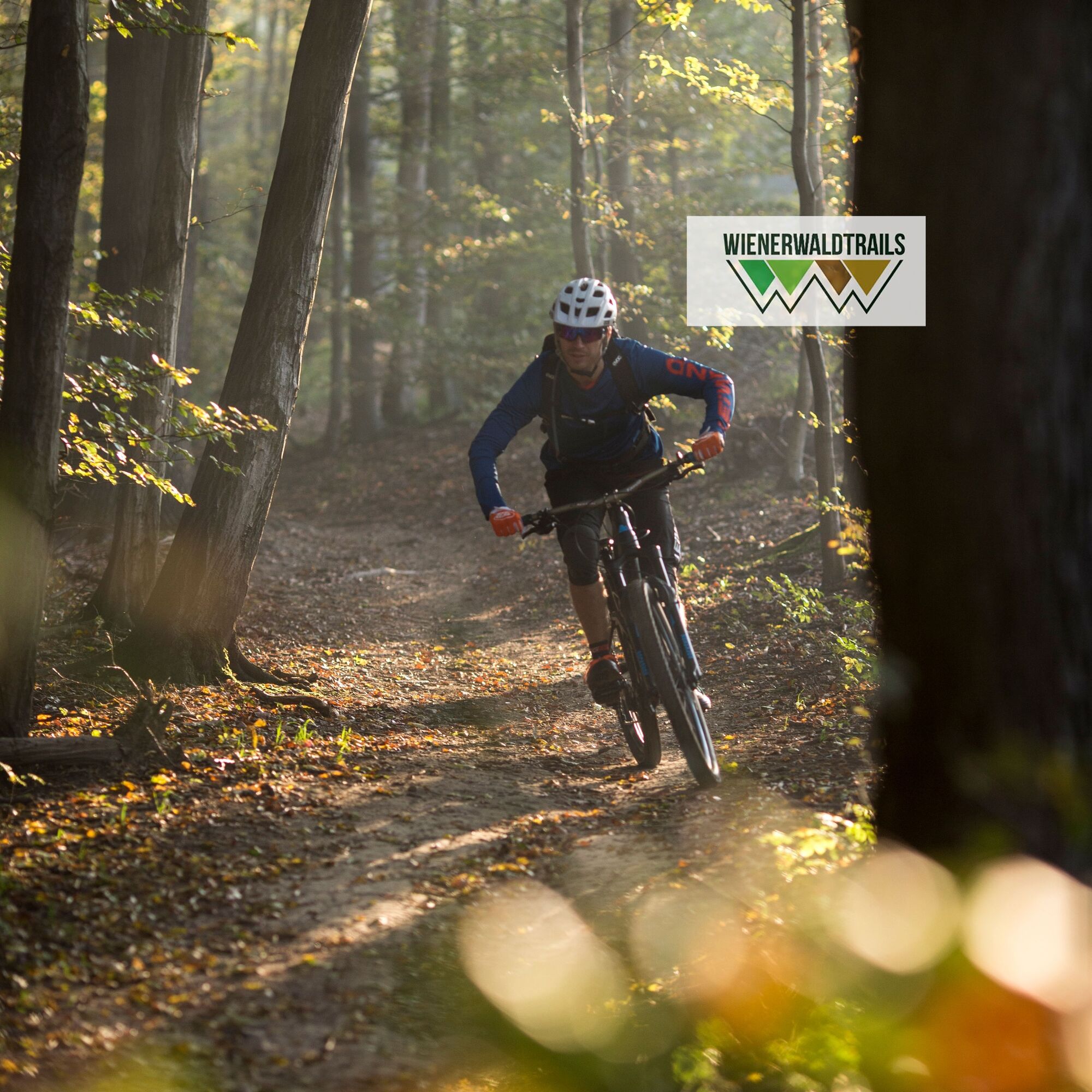
© Wienerwald Tourismus GmbH / Markus Frühmann
- Descrizione rapida
-
Längerer flacher Trail, der mit einigen Wurzelpassagen für Abwechslung sorgt und in beide Richtungen befahren werden kann.
- Difficoltà
-
difficile
- Valutazione
-
- Percorso
-
Vienna (542 m)1,2 km
- La stagione migliore
-
genfebmaraprmaggiulugagosetottnovdic
- Punto più alto
- 430 m
- Destinazione
-
Rohrerwiese an der Höhenstraße
- Profilo altimetrico
-

- Autore
-
Il tour Unterer Roan Trail è utilizzato da outdooractive.com fornito.
GPS Downloads


Percorsi
Trial
Altri tour nelle regioni
-
Wienerwald
290
-
Wien und Umgebung
205
-
Klosterneuburg
78