© (C) Wolfgang Wutzl - Wolfgang Wutzl
- Descrizione rapida
-
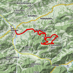
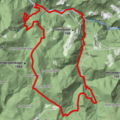
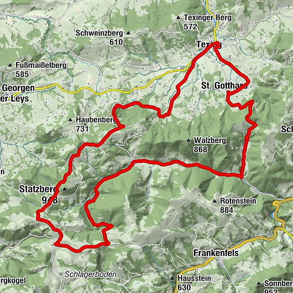
Raika Texing – St. Gotthard – Schwabeckkreuz – Weißenburg – Klammergraben – Burg Plankenstein – Raika Texing. ACHTUNG: KURZE SCHIEBESTRECKE (Schwabeckkreuz) !!! Bitte EINHALTEN!
- Difficoltà
-
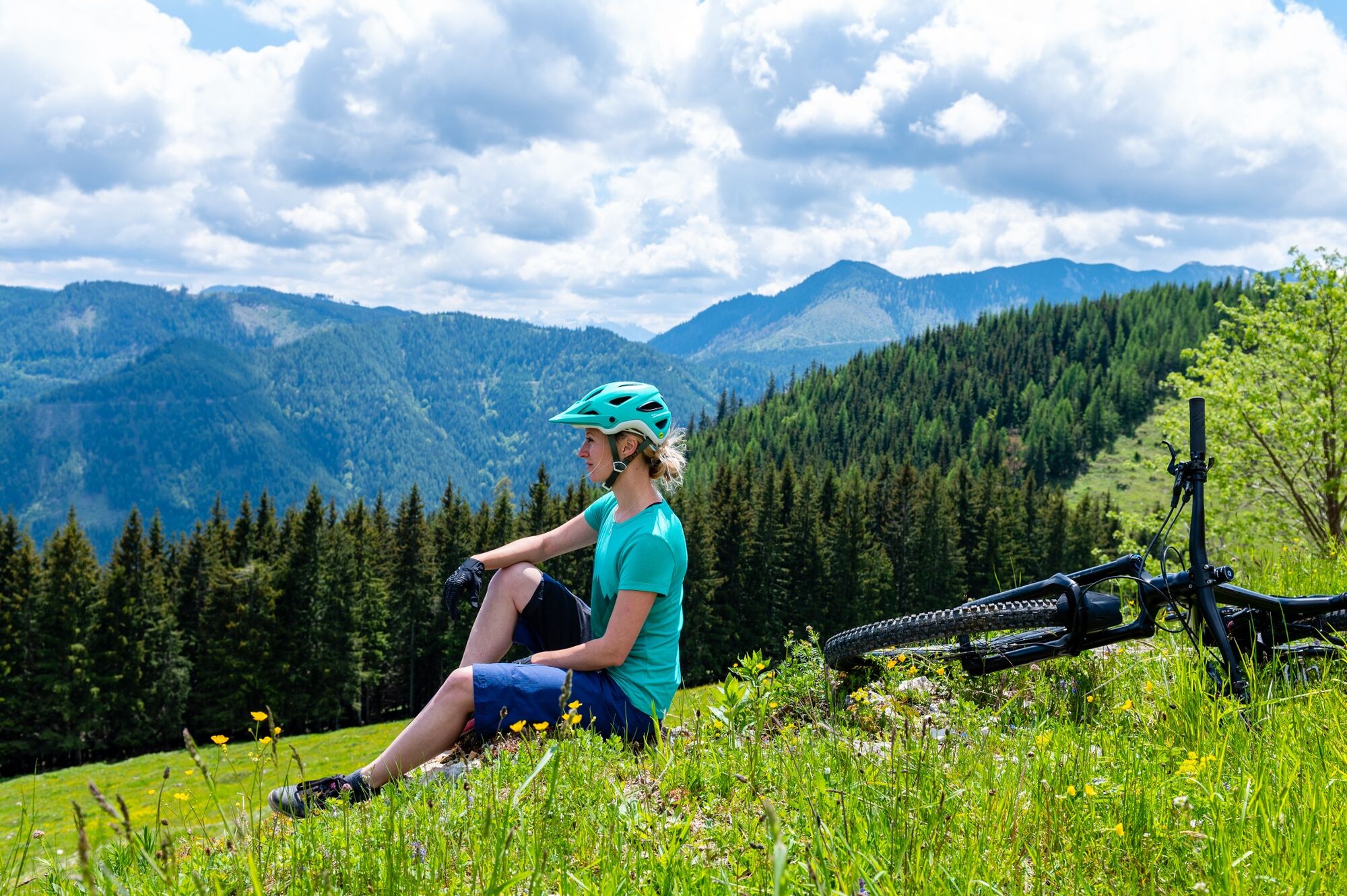
intermedio
- Valutazione
-
- Percorso
-
Texing0,4 kmSt. Gotthard2,9 kmTexingtaler Panorama-Platzl5,1 kmTiefgrabenrotte8,0 kmWiesrotte11,0 kmWeißenbach11,7 kmHöbarten18,8 kmWohlfahrtsschlag19,4 kmOberdachsberg23,5 kmGrassmann25,7 kmPlankenstein25,7 kmBurg Plankenstein26,0 kmHinterholz28,0 kmHöllensteinhöhle I28,3 kmStraß bei Texing29,6 kmTexing31,5 kmGasthof zur Post31,7 km
- La stagione migliore
-
genfebmaraprmaggiulugagosetottnovdic
- Punto più alto
- 855 m
- Destinazione
-
Texing, Raika
- Profilo altimetrico
-

- Autore
-
Il tour Raiffeisen-Voralpentour è utilizzato da outdooractive.com fornito.
GPS Downloads


Info generali
Punto di ristoro
Culturale/Storico
Suggerimento
Promettente
Altri tour nelle regioni
-
Mostviertel
151
-
Pielachtal
74
-
Texingtal
19