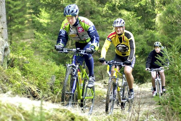
© © Waldviertel Tourismus, Studio Kerschbaum

- Descrizione rapida
-
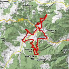
Rappottenstein - Lichtenau - Anschau - Walterschlag - Langschlag - Kleingöttfritz - Rohrhof - Rappottenstein
- Difficoltà
-
difficile
- Valutazione
-
- Percorso
-
Kleinkamp6,4 kmPernthon8,8 kmGaunersäcker11,1 kmRotzlüß11,4 kmLichtenau12,0 kmAnschau15,8 kmSchönau17,9 kmWalterschlag21,9 kmGemeindeln22,6 kmBernreith27,5 kmOedwinkel30,0 kmLugendorf32,2 kmLangschlag34,1 kmKleingöttfritz37,4 kmGasthaus Moser37,5 kmKapelle Kleingöttfritz37,5 kmHammer46,7 km
- La stagione migliore
-
genfebmaraprmaggiulugagosetottnovdic
- Punto più alto
- 916 m
- Destinazione
-
Rappottenstein
- Profilo altimetrico
-

- Autore
-
Il tour Steinpilz-Strecke è utilizzato da outdooractive.com fornito.
GPS Downloads


Altri tour nelle regioni
-
Waldviertel
169
-
Südliches Waldviertel
84
-
Bad Traunstein
42