
© © Waldviertel Tourismus, Erwin Haiden, nyx.at - Destination Waldviertel


- Descrizione rapida
-
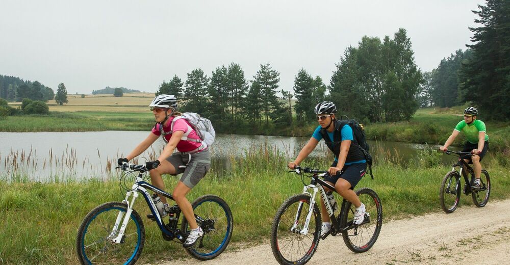
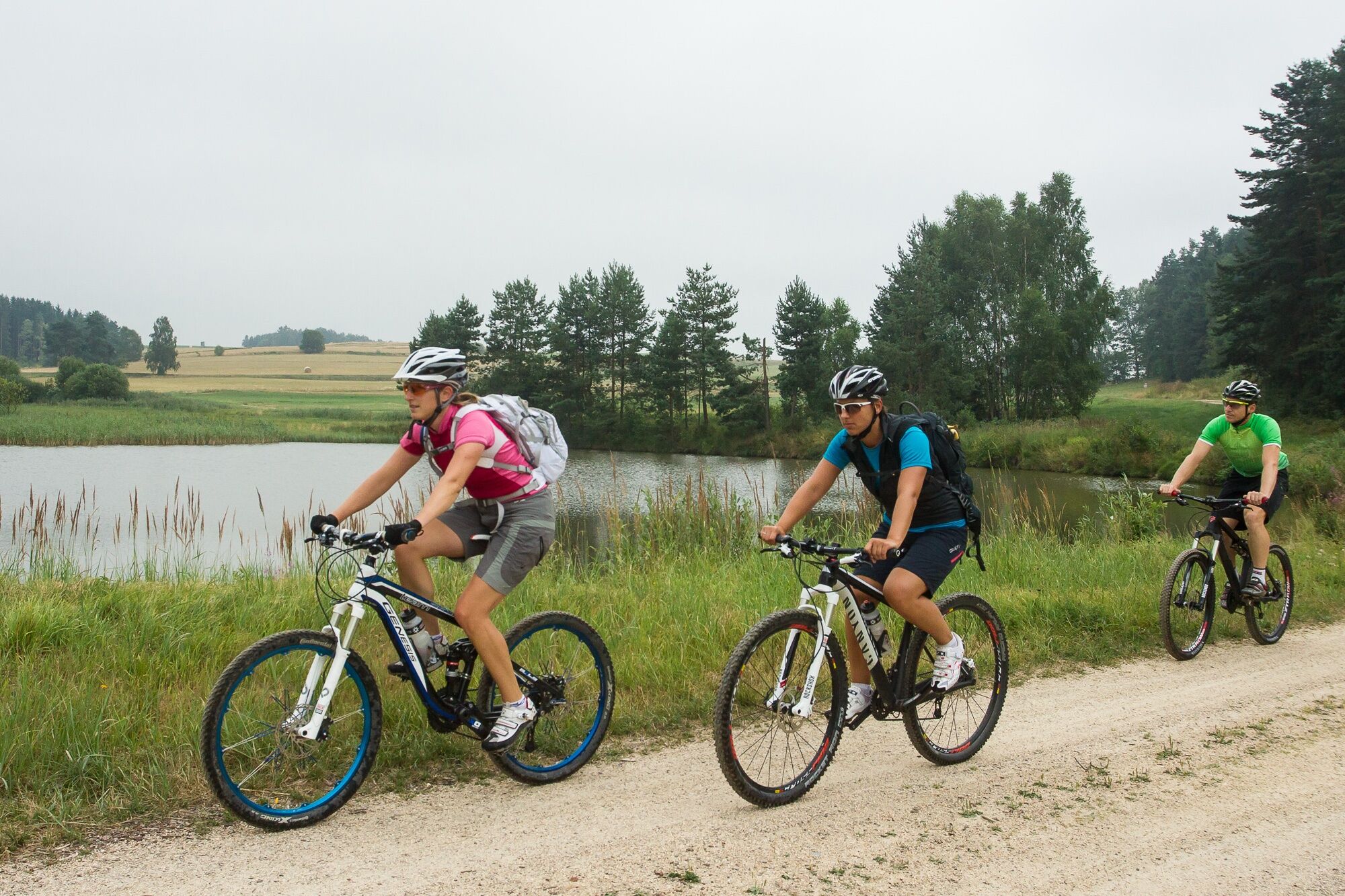
Litschau - Loimanns - Reitzenschlag - Schandachen - Obere Saass - Hörmanns - Graslstein - Josefsthal - Grenzübergang Schlag - Schlag - Litschau
- Difficoltà
-
facile
- Valutazione
-
- Percorso
-
Gasthof Kaufmann0,1 kmBruno's Bierinsel0,1 kmPfarrkirche Litschau hl. Michael0,2 kmLitschau0,2 kmLoimanns3,7 kmReitzenschlag5,3 kmSchandachen6,7 kmSaaß8,8 kmHörmanns bei Litschau10,6 kmJosefsthal15,4 kmFroschstein (530 m)20,1 kmSchlag20,8 kmLitschau23,5 kmLitschau23,7 km
- La stagione migliore
-
genfebmaraprmaggiulugagosetottnovdic
- Punto più alto
- 613 m
- Destinazione
-
Litschau, Unterer Stadtplatz
- Profilo altimetrico
-

- Autore
-
Il tour St. Peter-Strecke è utilizzato da outdooractive.com fornito.
Tutte le recensioni
Alex 20
23. Mar. 2024
Nette Strecke
nette kleine Strecke, auch ohne Mountainbike machbar
Trovi utile questa recensione
Tu e 1 persona ha trovato questa recensione utile
Tu e Le persone trovano questa recensione utile
1 persona ha trovato questa recensione utile
Le persone trovano questa recensione utile
|
GPS Downloads


Altri tour nelle regioni
-
Waldviertel
169
-
Böhmisch Kanada
8
-
Litschau
4