© (C) Naturfreunde Wilhelmsburg Göblasbruck
© (C) Wolfgang Wutzl - Wolfgang Wutzl
- Descrizione rapida
-
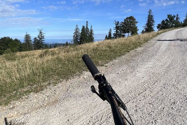
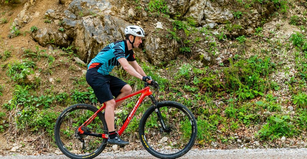
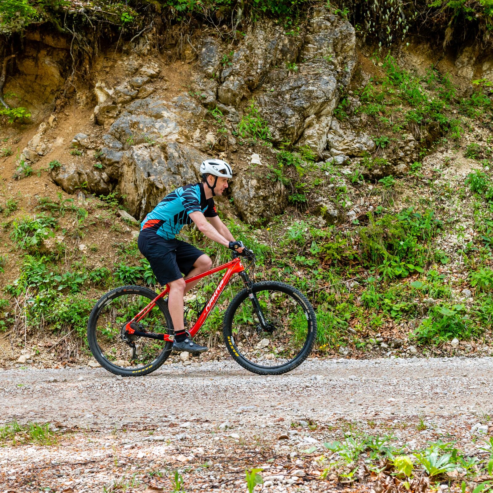
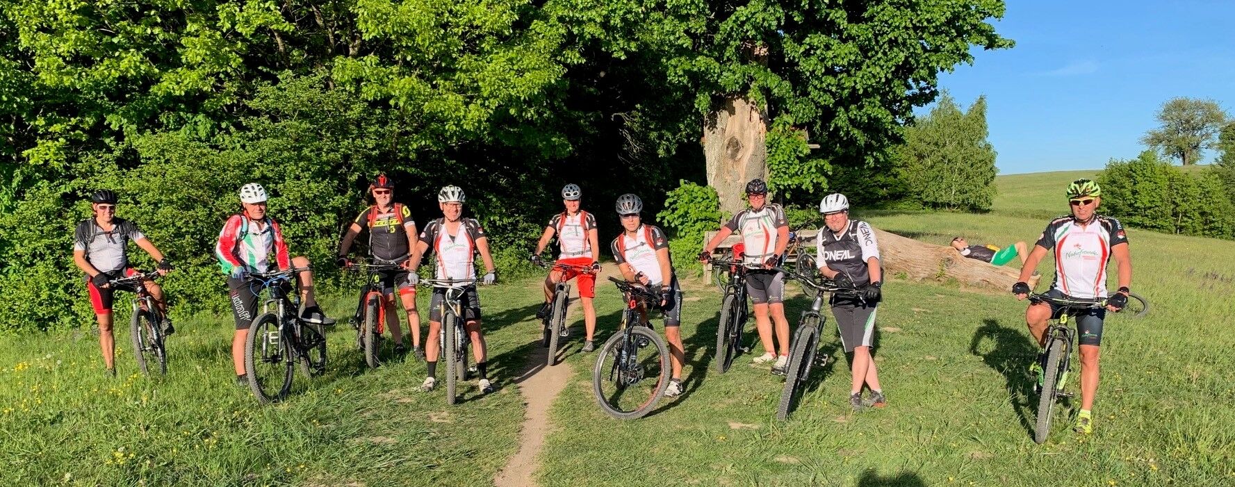
Not only a stamina as well technically not very challenging tour - therefore ideal for beginners mountain bikers. However, some ascents require a lot from the biker and are not to be underestimated. In the end though, the stop at the Rudolfshöhe pays off in any case.
- Difficoltà
-
intermedio
- Valutazione
-
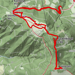
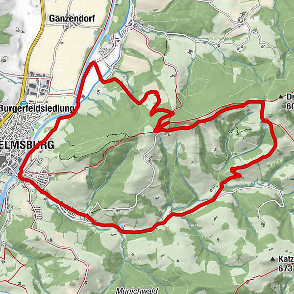
- Percorso
-
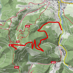
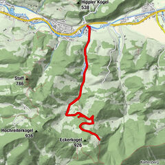
KreisbachWilhelmsburgAnitas Gasthaus-Catering-Gugelhupferei0,4 kmKreisbach1,0 kmAnnakapelle1,2 kmOchsenburgerhütte (594 m)8,7 kmWilhelmsburg14,1 kmKreisbach14,4 km
- La stagione migliore
-
genfebmaraprmaggiulugagosetottnovdic
- Punto più alto
- 591 m
- Profilo altimetrico
-

- Autore
-
Il tour Sagensteintour è utilizzato da outdooractive.com fornito.
GPS Downloads


Info generali
Punto di ristoro
Promettente
Altri tour nelle regioni