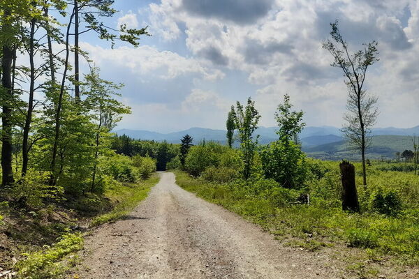
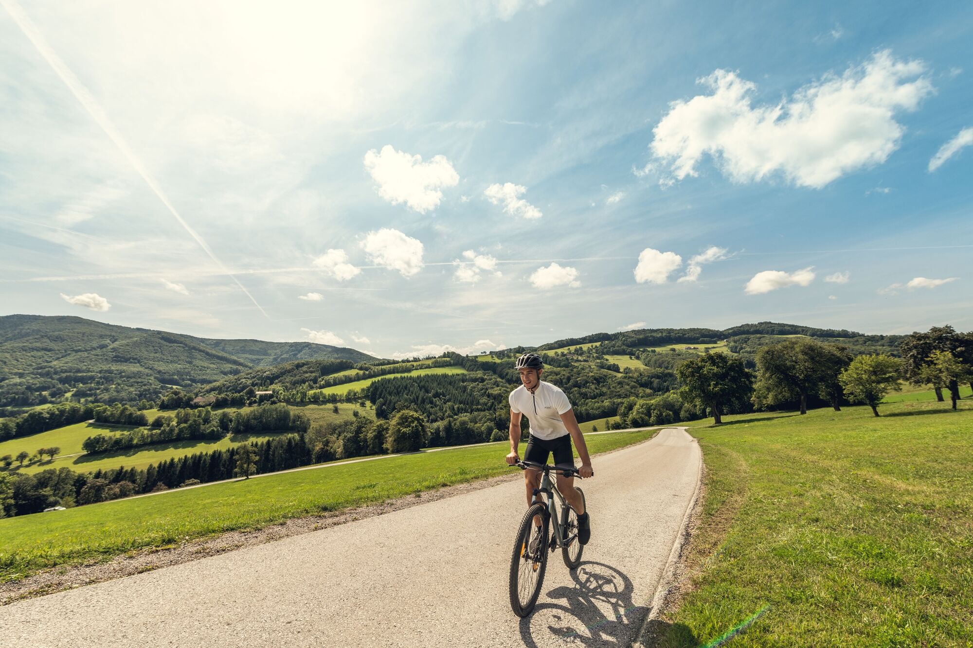
© Wienerwald Tourismus GmbH / Christoph Kerschbaum

© Wienerwald - Wienerwald Tourismus GmbH
- Descrizione rapida
-
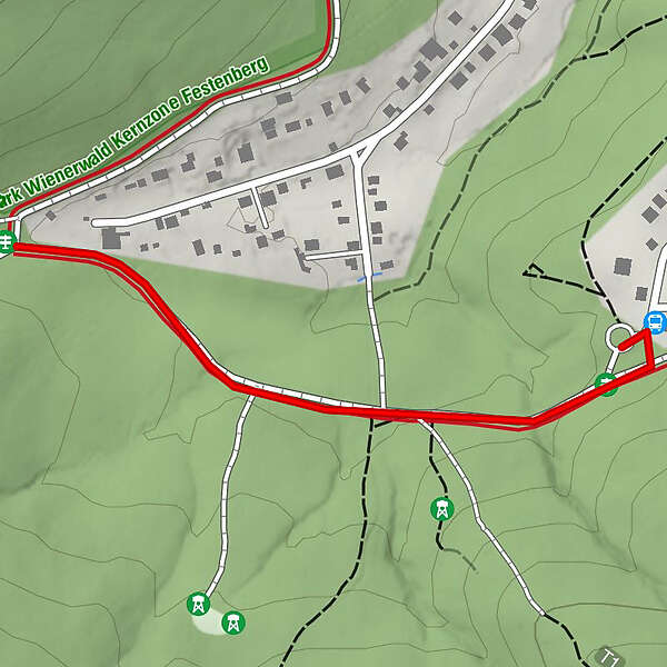
Dient als Verbindungsstraße zu den anderen Touren.
- Difficoltà
-
facile
- Valutazione
-
- La stagione migliore
-
genfebmaraprmaggiulugagosetottnovdic
- Punto più alto
- 364 m
- Destinazione
-
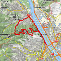
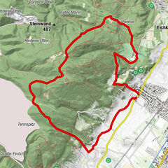
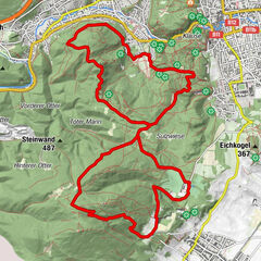
Hirschentanz
- Profilo altimetrico
-

- Autore
-
Il tour Zubringer Hirschentanz è utilizzato da outdooractive.com fornito.
GPS Downloads


Altri tour nelle regioni
-
Wienerwald
290
-
Wien und Umgebung
205
-
Kaltenleutgeben
112