
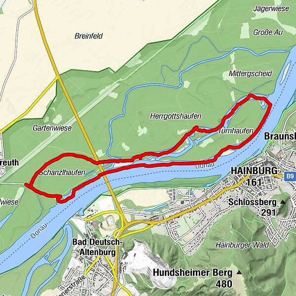
Dati percorsi
10,62km
135
- 141m
8hm
7hm
02:02h
- Descrizione rapida
-
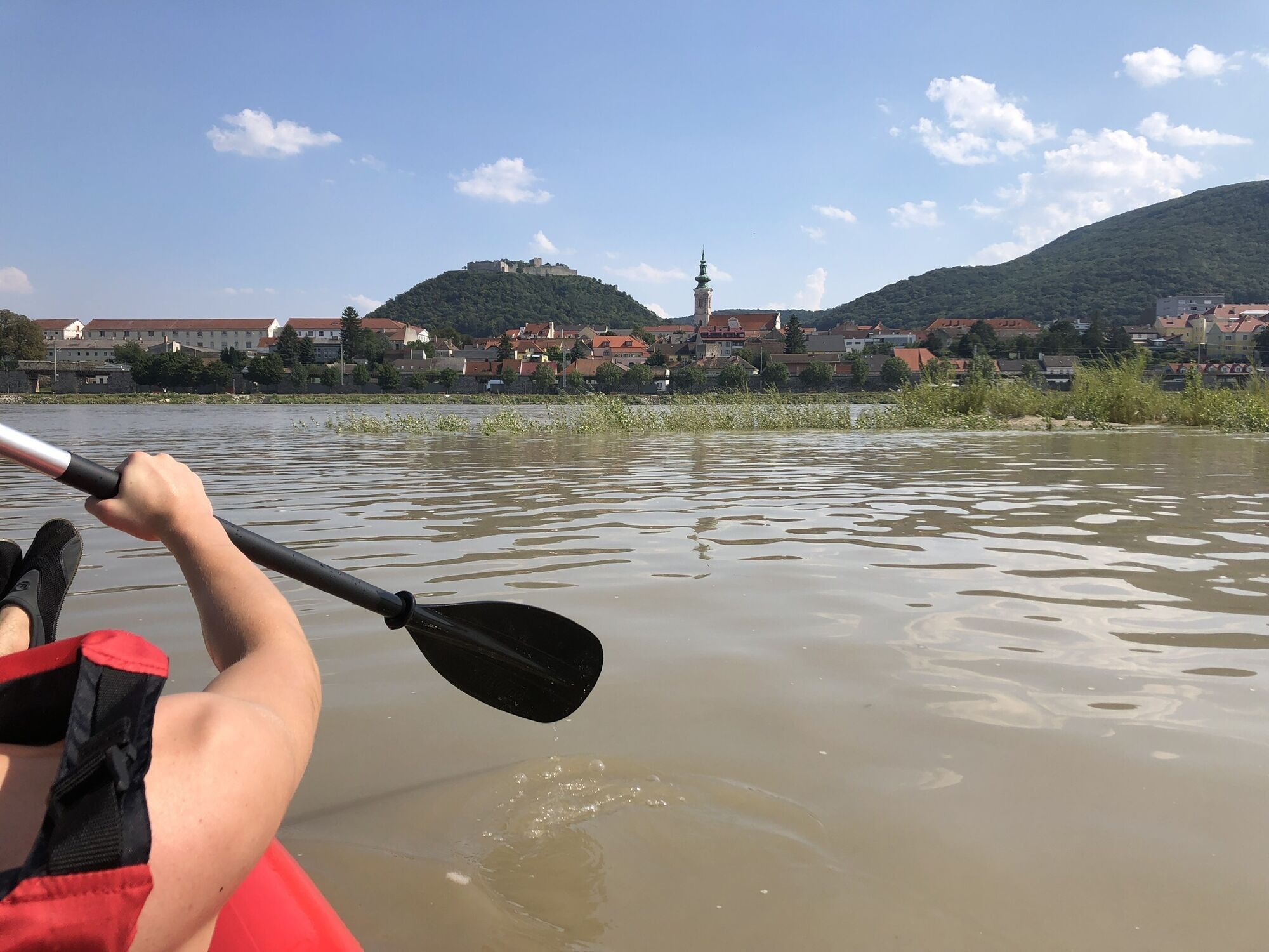
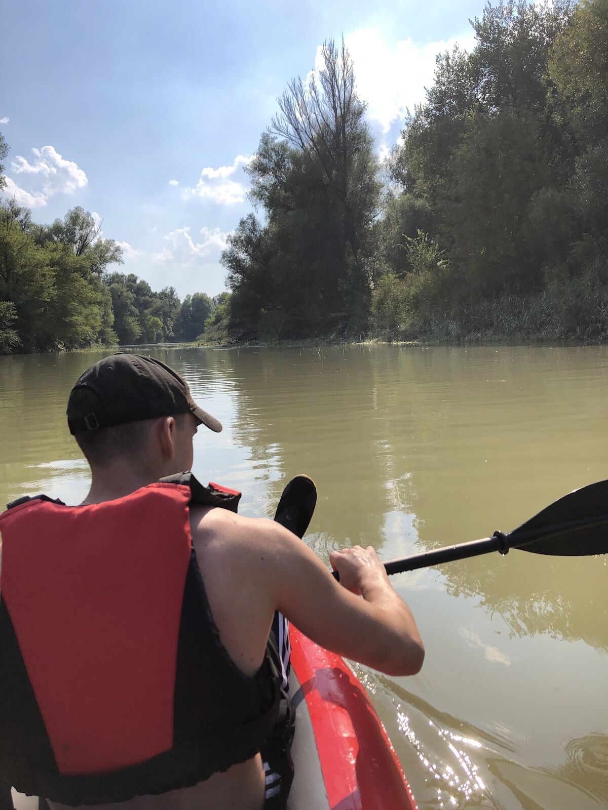
Die Donau hinunter und dann in den Spittelauer Arm wieder stromaufwärts
- Difficoltà
-
intermedio
- Valutazione
-
- Percorso
-
Hainburg an der Donau (161 m)4,1 km
- La stagione migliore
-
genfebmaraprmaggiulugagosetottnovdic
- Punto più alto
- 141 m

GPS Downloads


Altri tour nelle regioni