
Dati percorsi
17,22km
464
- 1.075m
582hm
582hm
04:18h

- Descrizione rapida
-
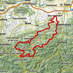
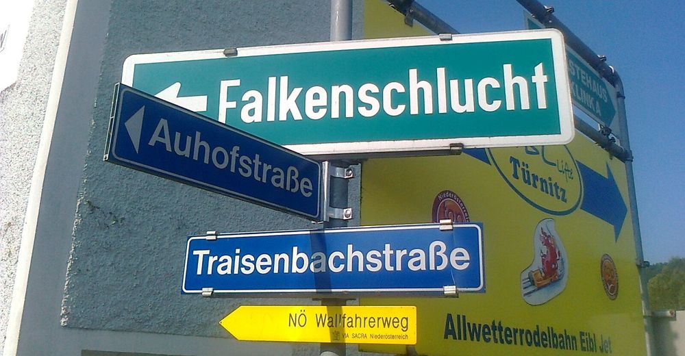
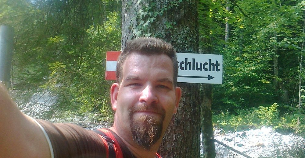
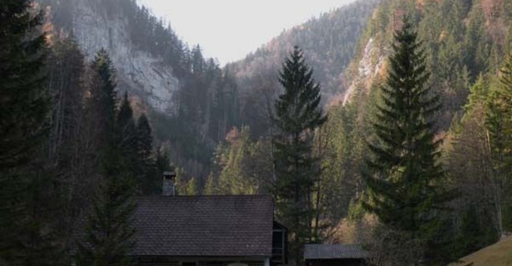
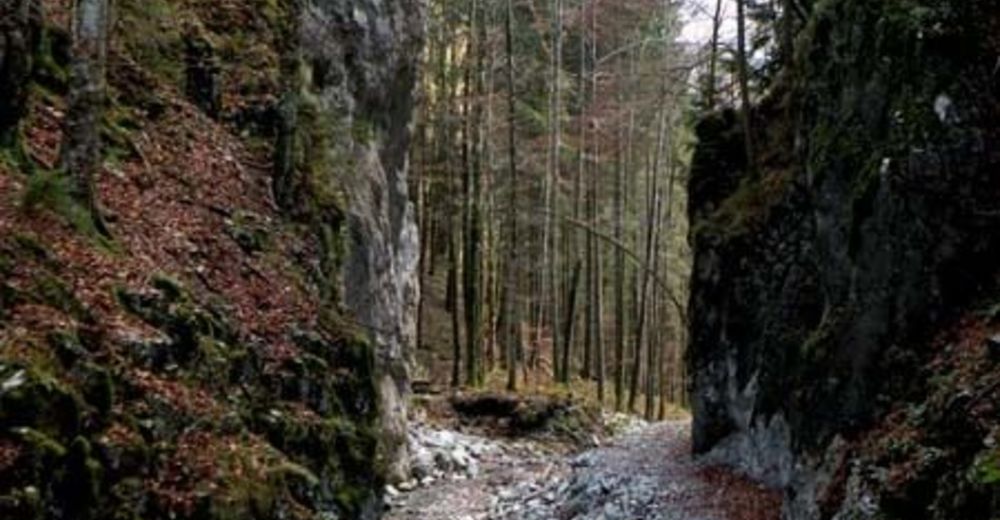
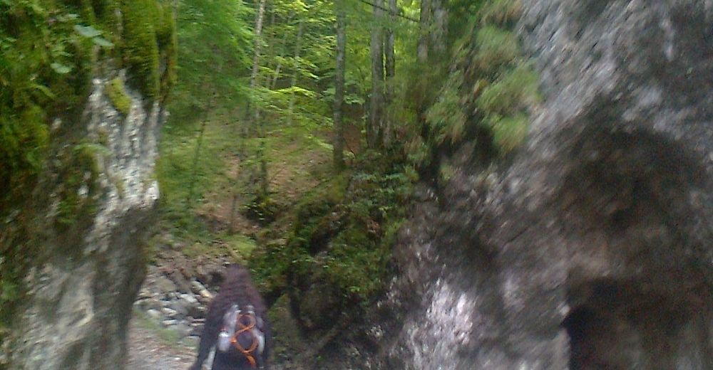
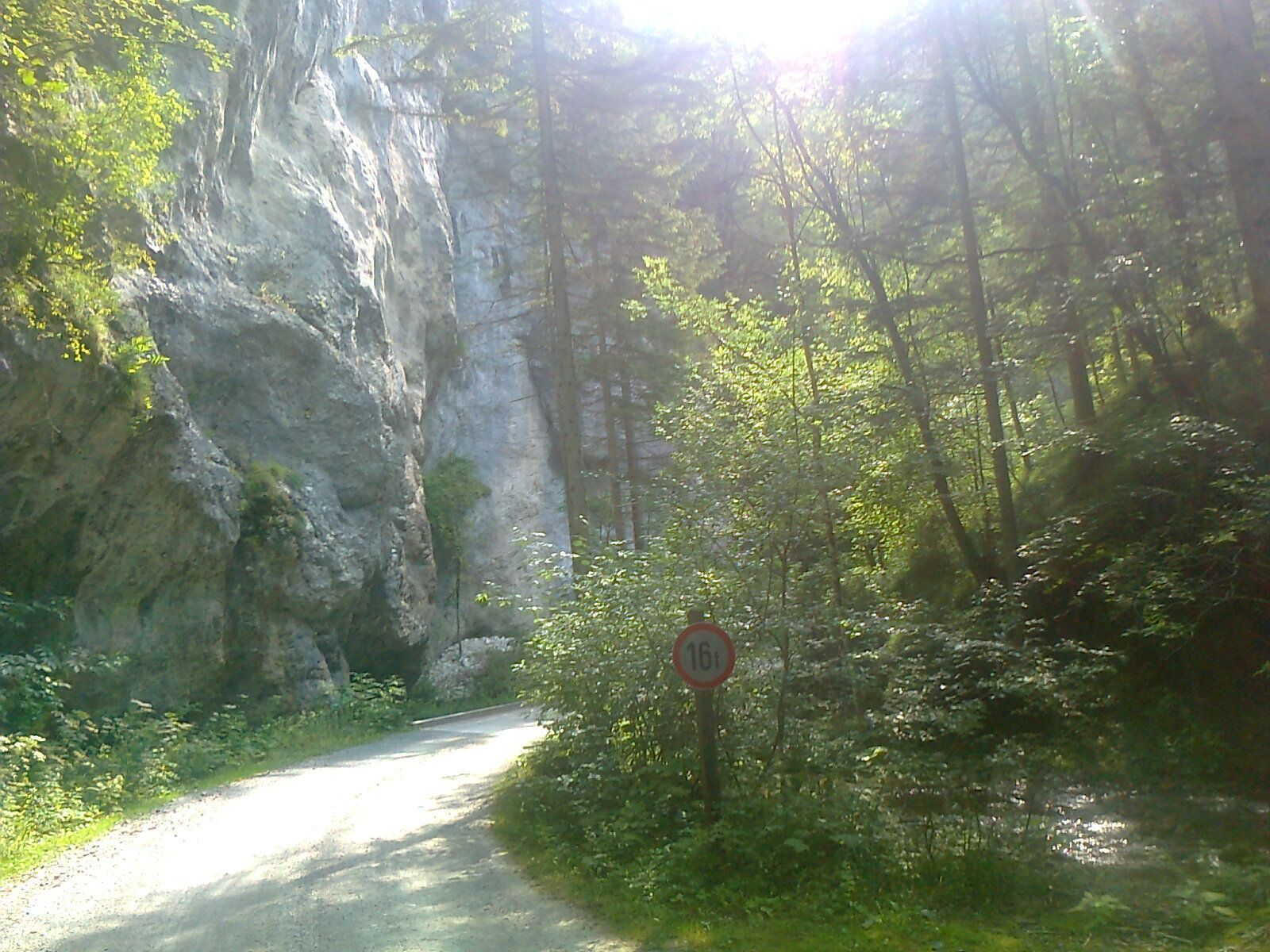
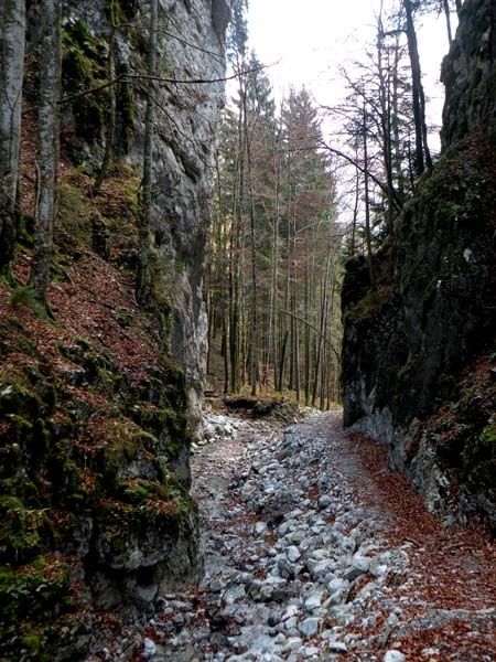
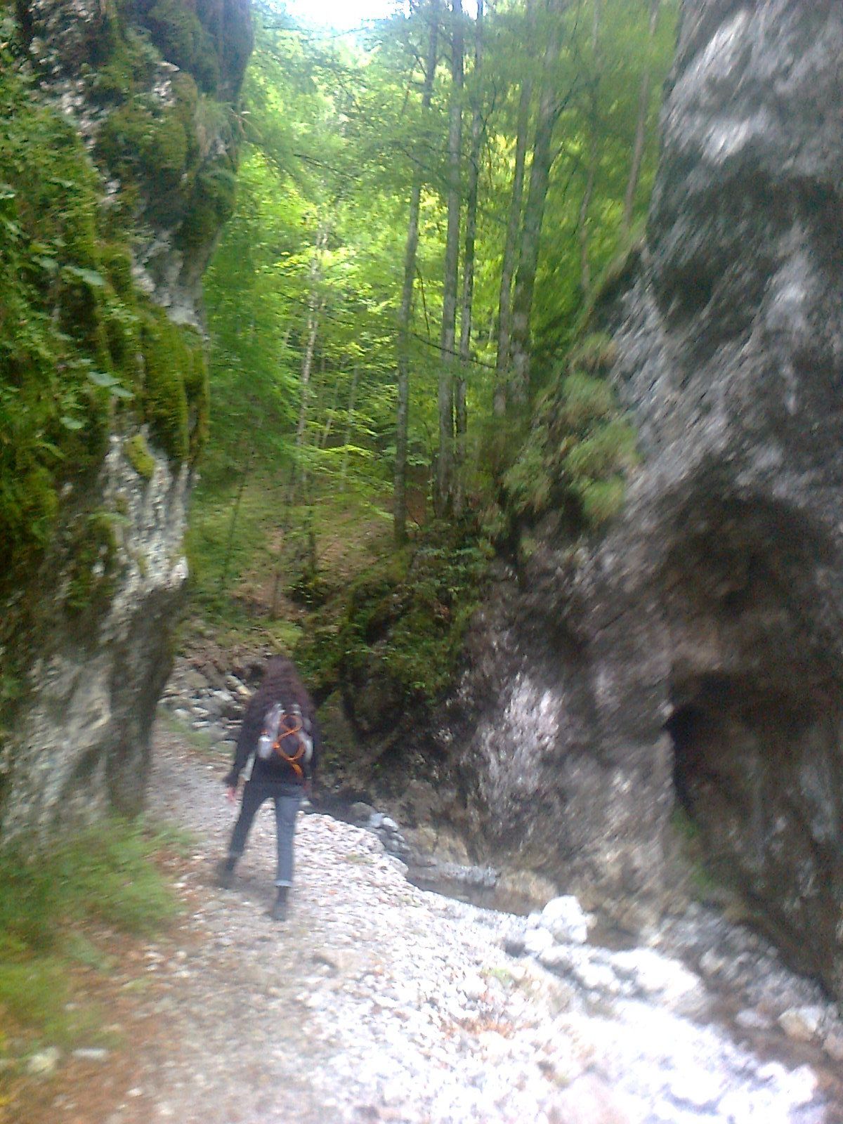
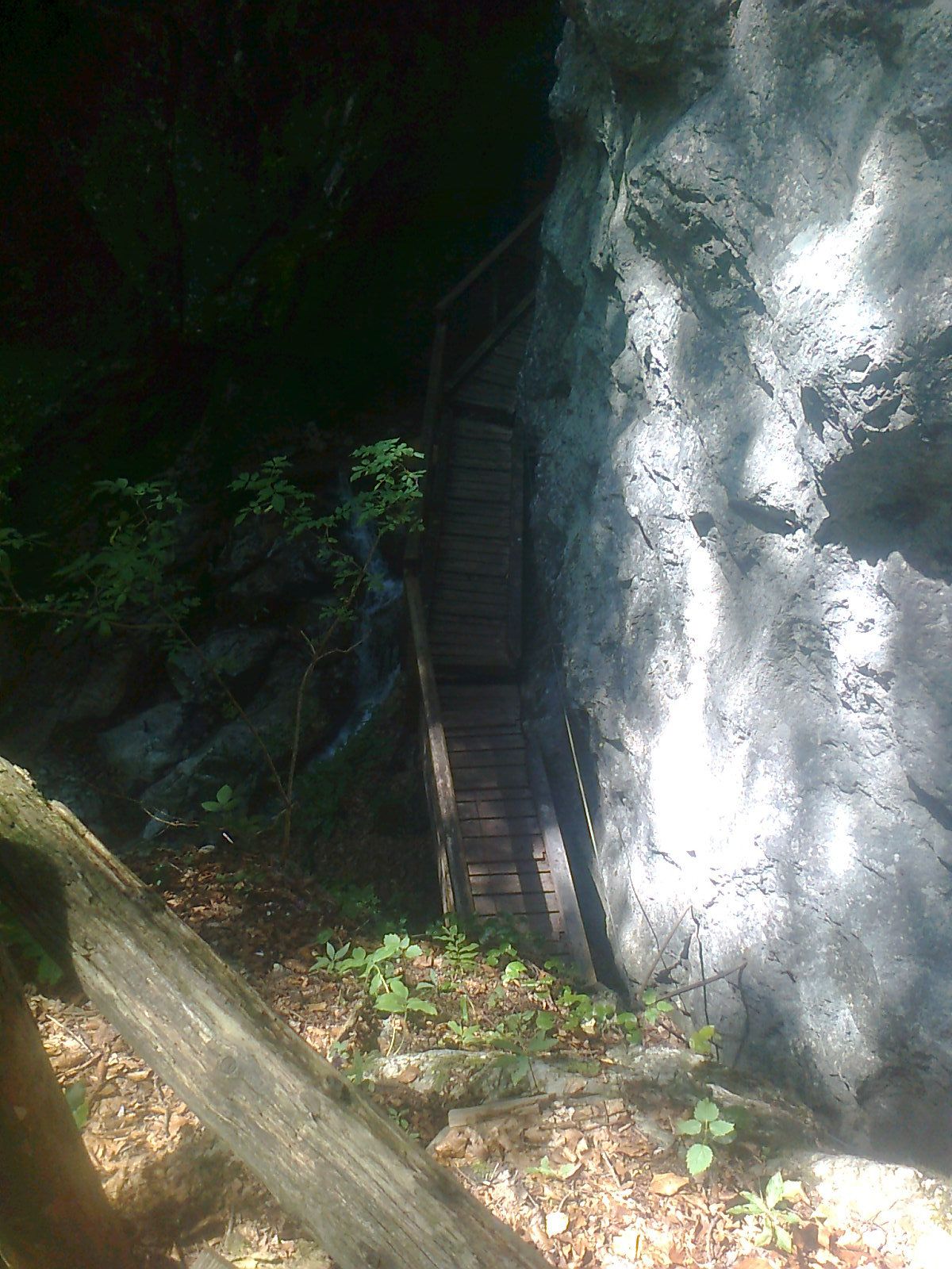
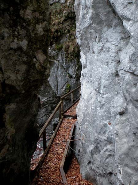
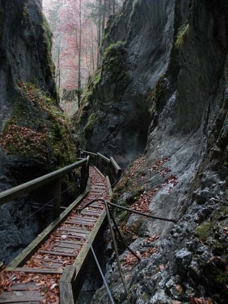
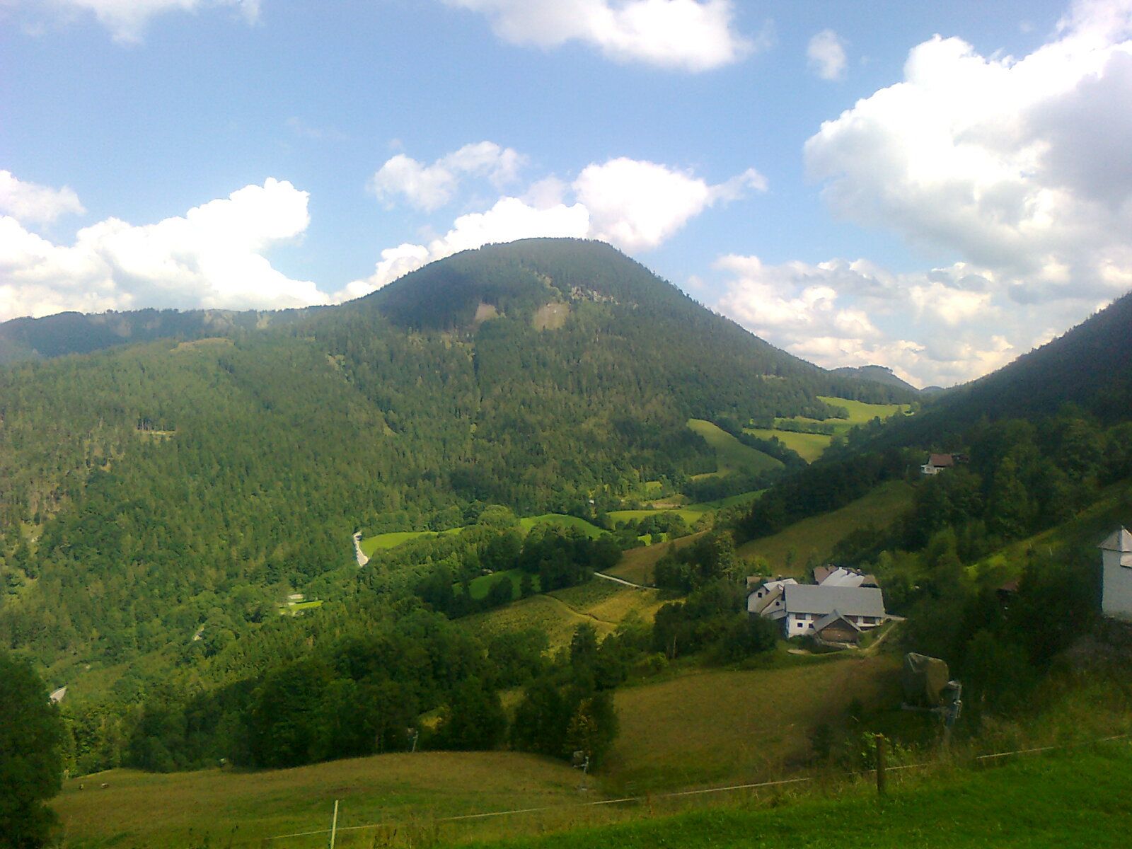
Türnitz - Falkenschlucht - Annaberg
- Difficoltà
-
intermedio
- Valutazione
-
- Punto di partenza
-
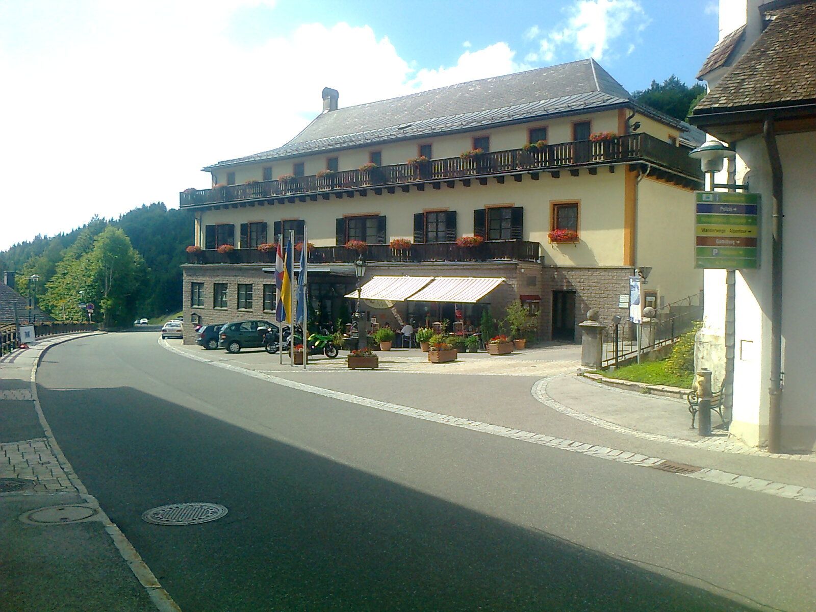
Türnitz Hauptplatz
- Percorso
-
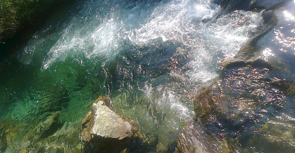
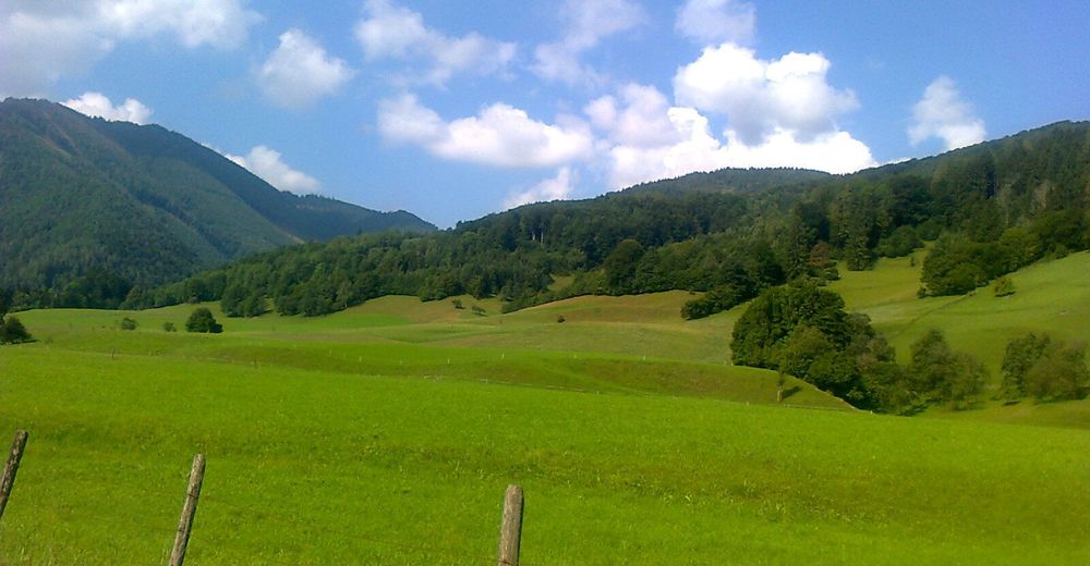
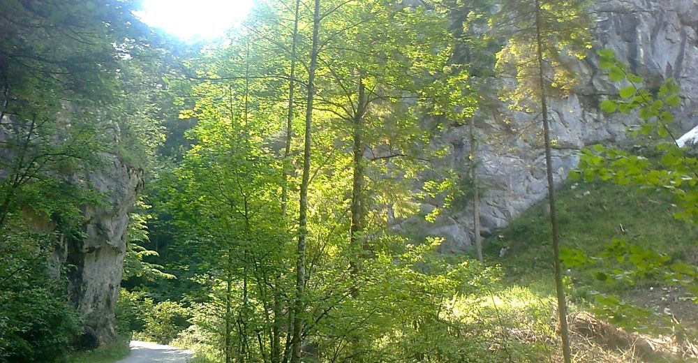
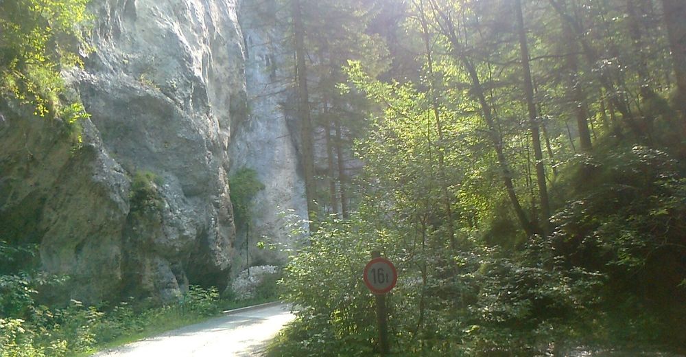
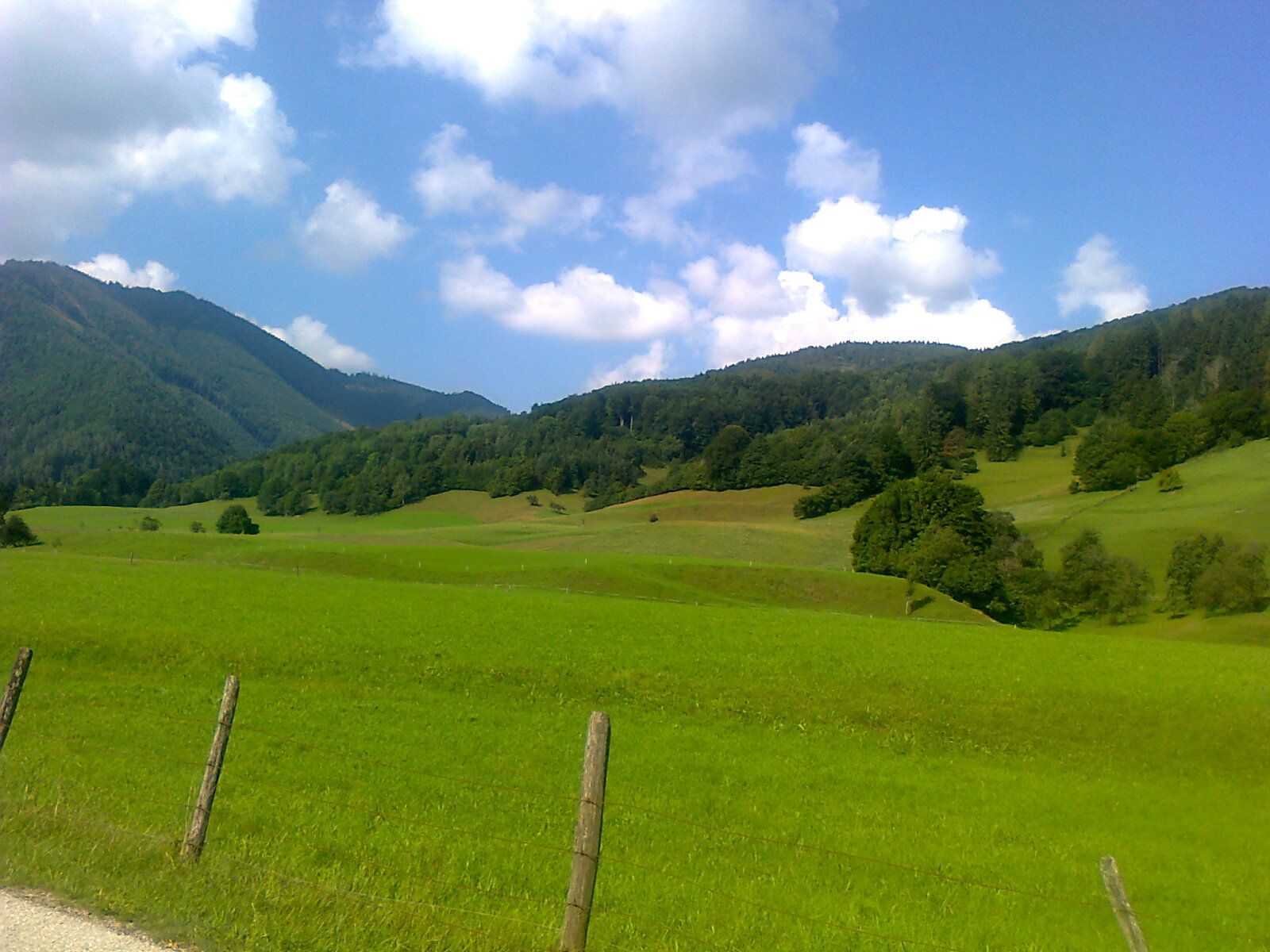
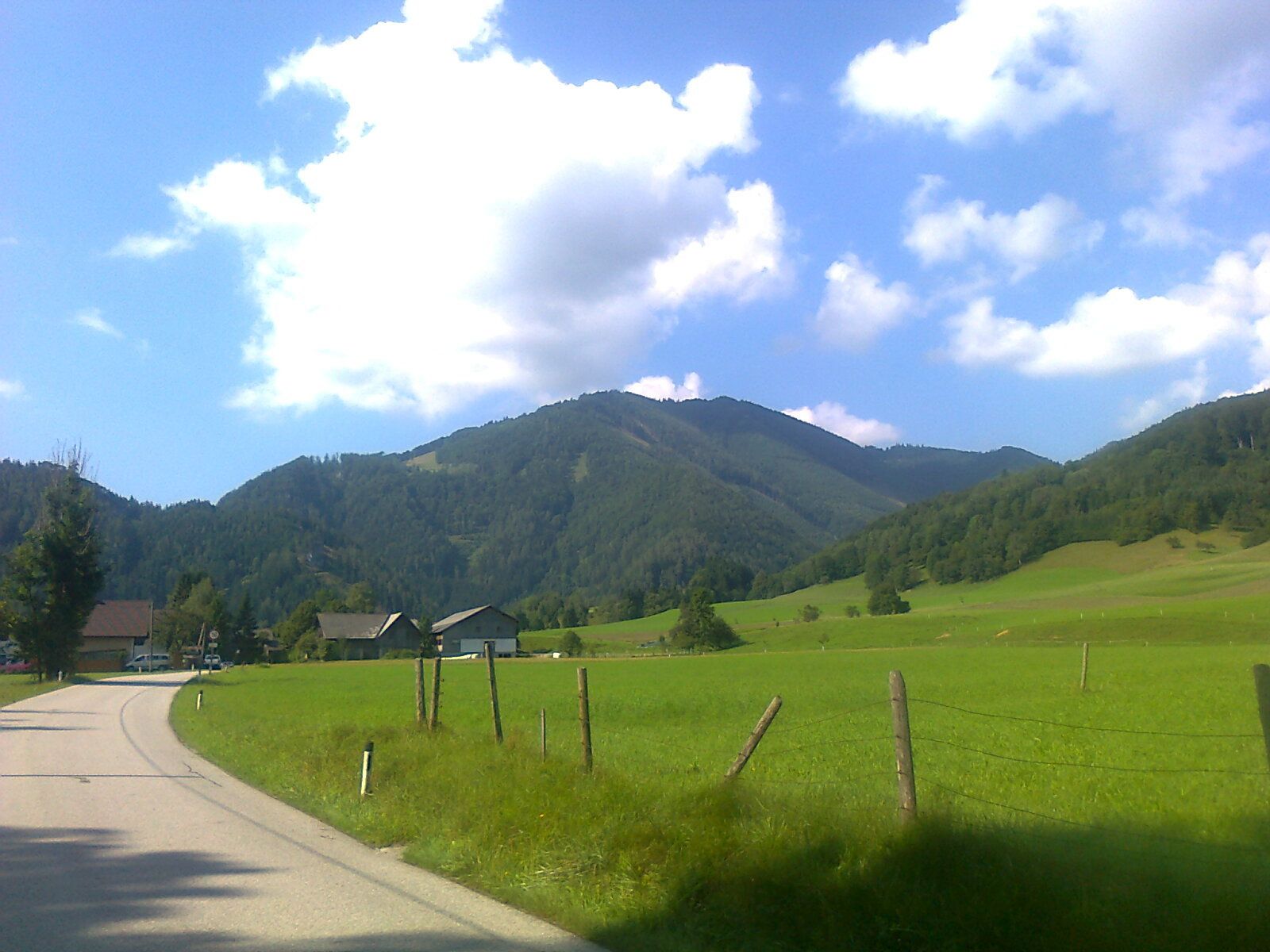
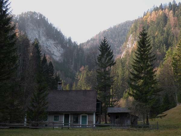
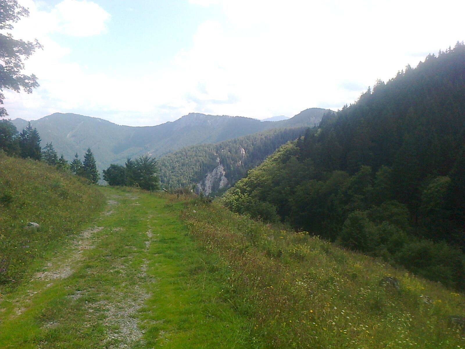
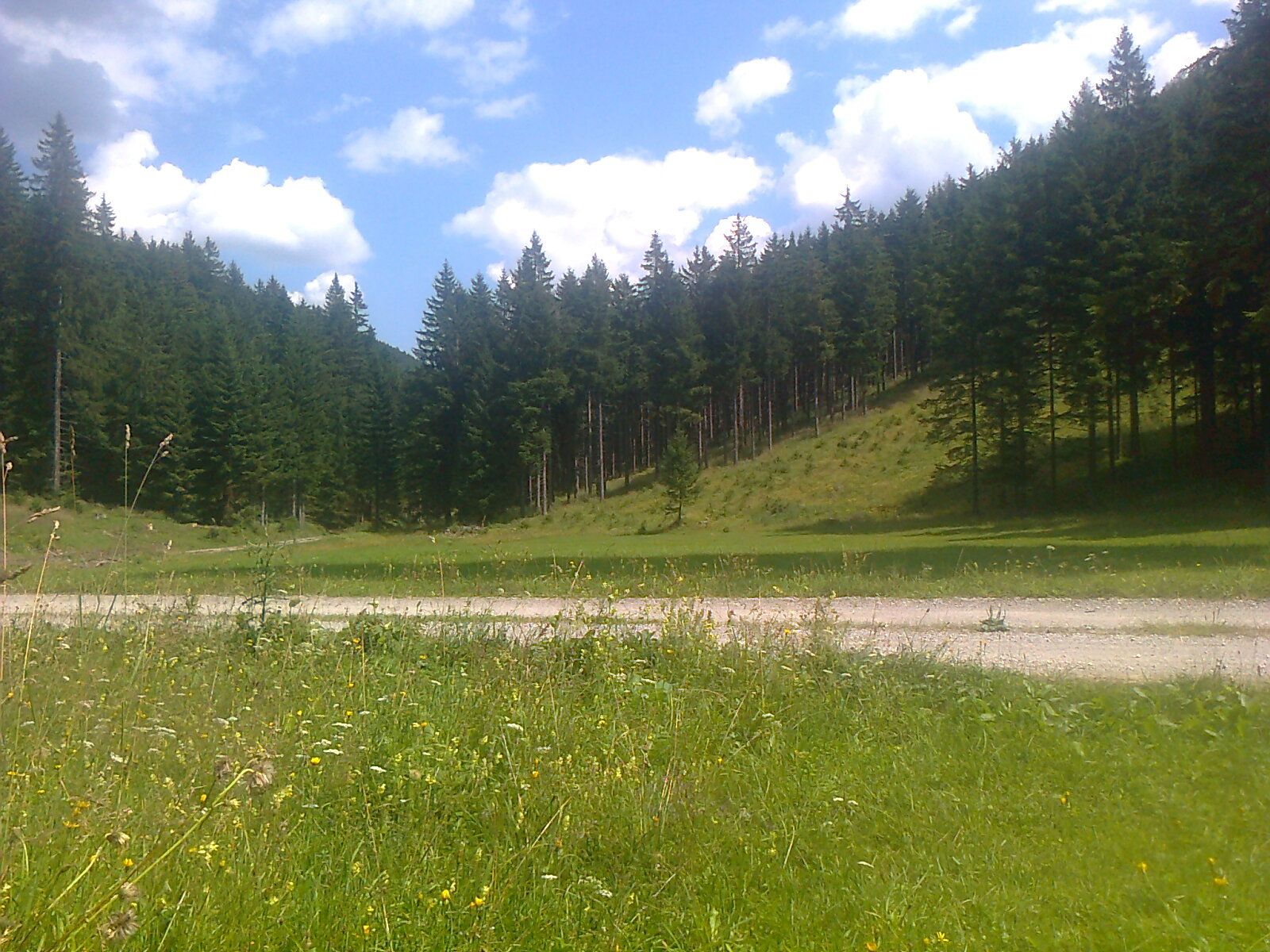
TürnitzJohannes-Kapelle0,2 kmPlöttigmühle1,9 kmWeidenaurotte3,9 kmEisernes Tor5,5 kmAm Gscheid14,4 kmSt. Anna16,9 kmAnnaberg (976 m)17,0 km
- La stagione migliore
-
genfebmaraprmaggiulugagosetottnovdic
- Punto più alto
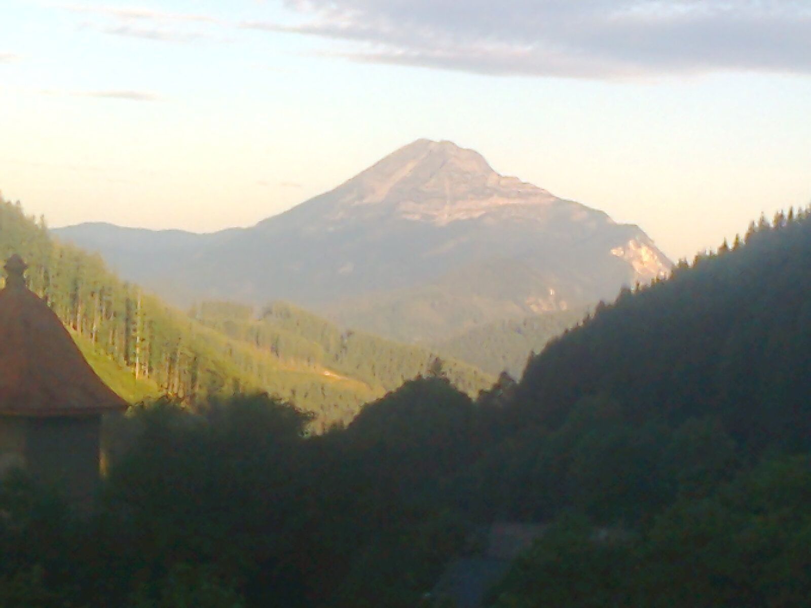
- 1.075 m
- Destinazione
-
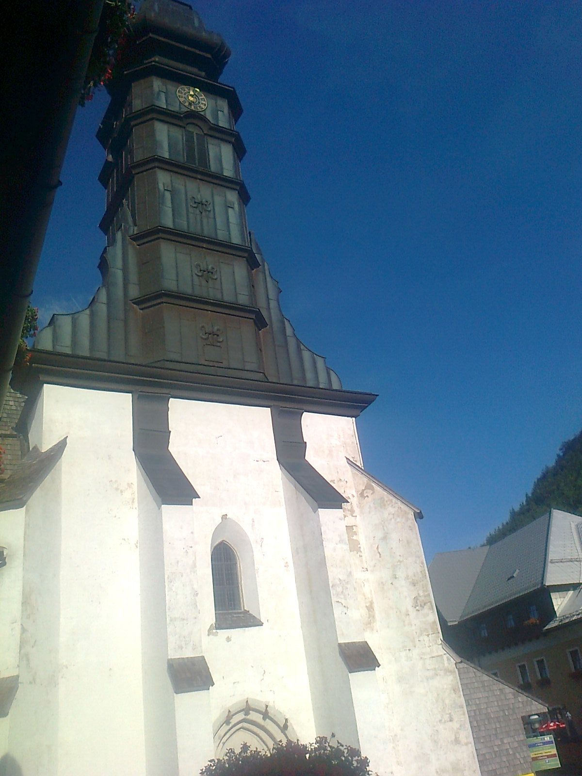
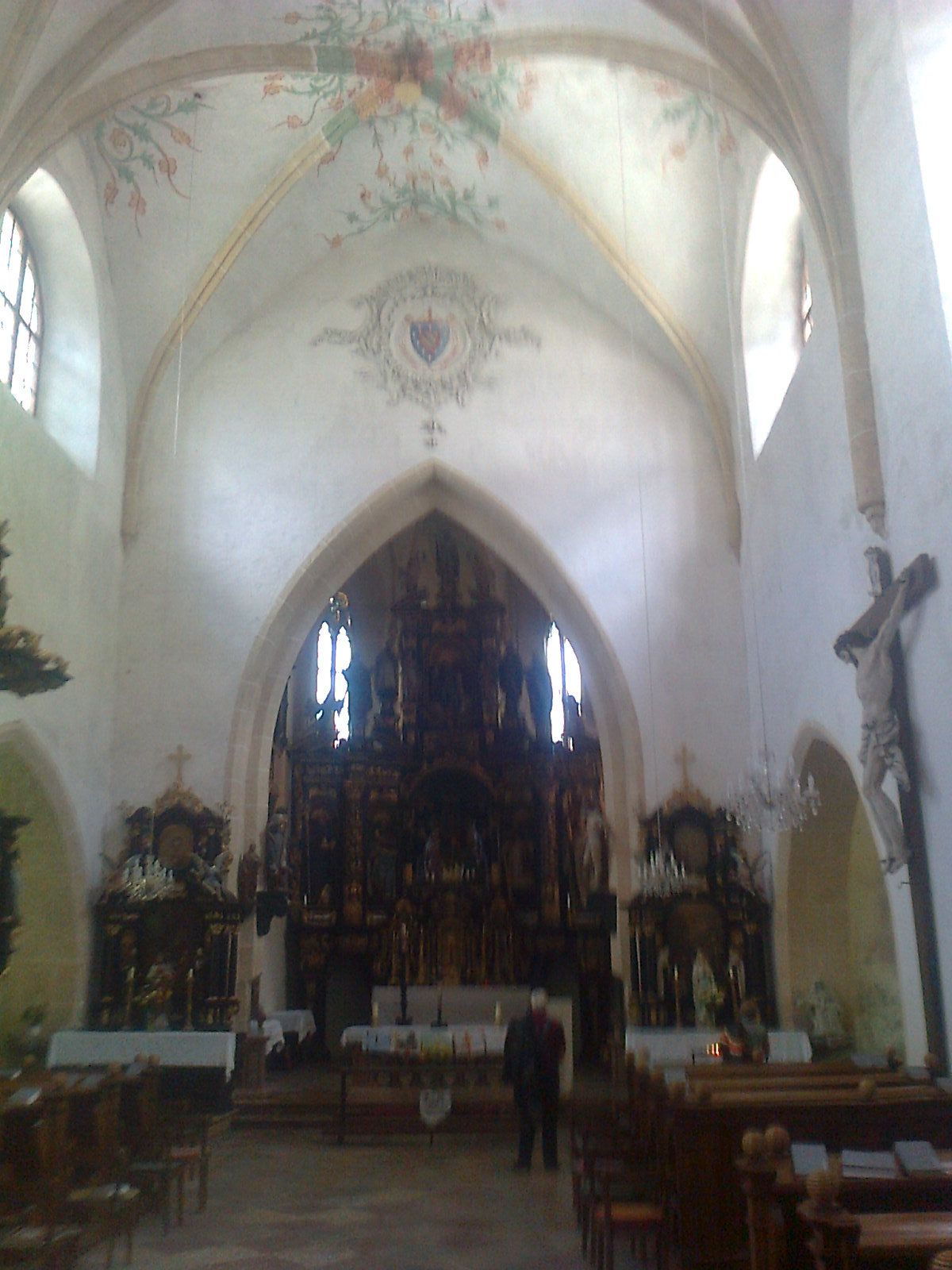
Annaberg Kirche
- Riposo/Ritiro
-
nur in Türnitz und Annaberg
- Cartine
-
Wanderbares Mostviertel


GPS Downloads


Condizioni dei sentieri
Asfalto
Ghiaia
Prato
Foresta
Roccia
Esposta
Altri tour nelle regioni
-
Mostviertel
2454
-
Pielachtal
1115
-
Annaberg
434