
- Descrizione rapida
-
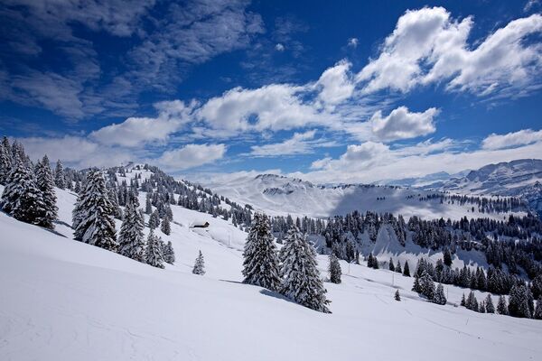
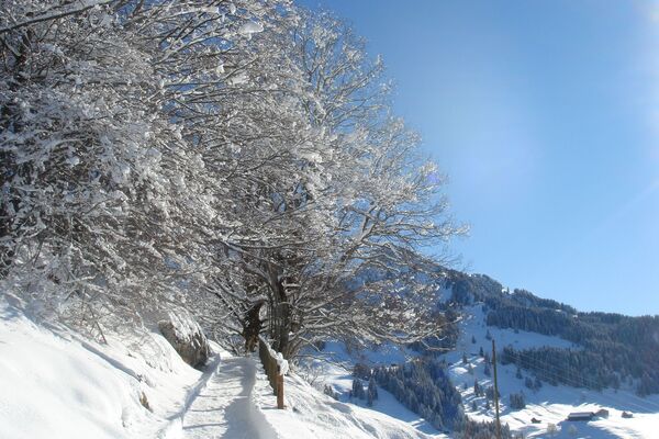
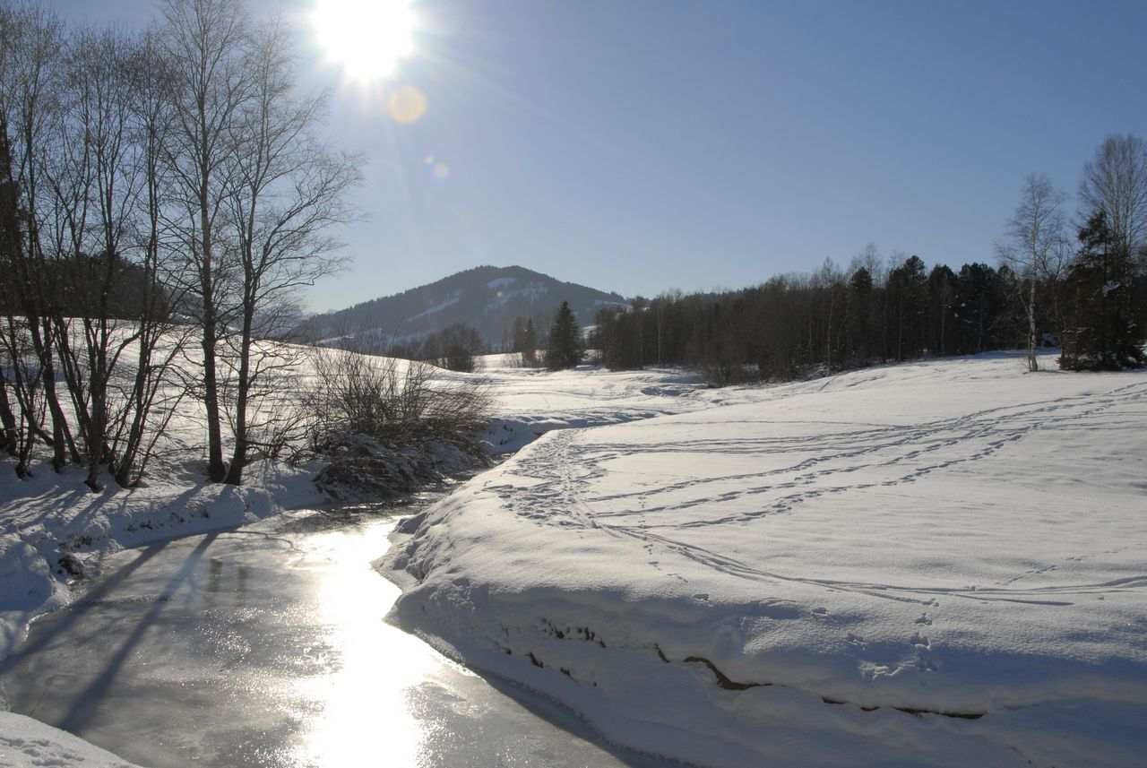
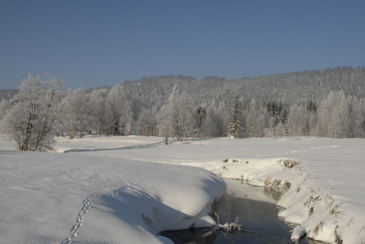
Der Aufstieg zum Chatzenstrick ist etwas steil, aber die Aussicht auf Einsiedeln belohnt es. Oben geht der Weg hinunter nach Altmatt
- Difficoltà
-
intermedio
- Valutazione
-
- Percorso
-
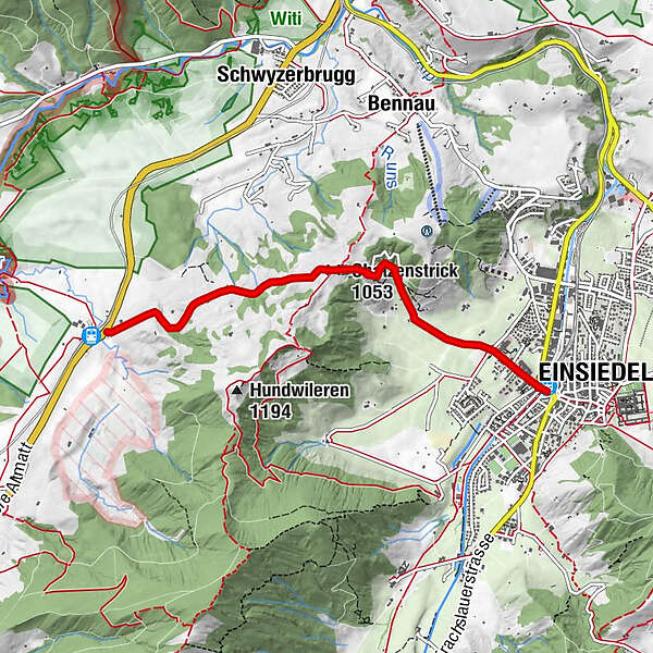
EinsiedelnReformierte Kirche Einsiedeln0,3 kmMaria End1,9 kmChatzenstrick (1.053 m)2,2 kmRestaurant Schlüssel3,9 km3. Altmatt4,3 km
- La stagione migliore
-
agosetottnovdicgenfebmaraprmaggiulug
- Punto più alto
- 1.037 m
- Destinazione
-
Dritte Altmatt
- Profilo altimetrico
-
 © outdooractive.com
- Autore
-
Il tour Chatzenstrick è utilizzato da outdooractive.com fornito.
GPS Downloads


Info generali
Punto di ristoro
Promettente
Altri tour nelle regioni
-
Schwyz
113
-
Einsiedeln-Ybrig-Zürichsee
42
-
Einsiedeln
17