Schwyzer Höhenweg, Etappe 3, Goldau – Sattel

Escursionismo

© Schwyzer Wanderwege - Erhard Gick

© Schwyzer Wanderwege - Erhard Gick

© Schwyzer Wanderwege - Erhard Gick

© Schwyzer Wanderwege - Erhard Gick

© Schwyzer Wanderwege - Erhard Gick

© Schwyzer Wanderwege - Erhard Gick

- Descrizione rapida
-
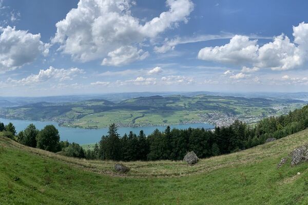
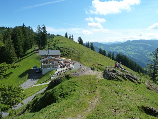
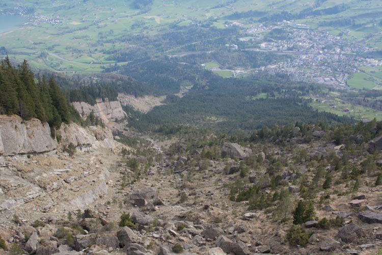
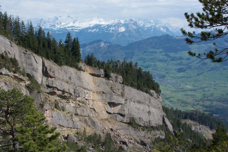
Das Bergsturzgebiet ist noch heute eindrücklich, mit seinen Schuttmassen und Steinblöcken sowie der speziellen Vegetation, welche sich den Raum zurückerobert. Er ist Inhalt der dritten Etappe des Schwyzer Höhenweges. Auf dem Wildspitz, dem höchsten Berg des Kantons Zug, hat man eine schöne Aussicht auf die Seen der Zentralschweiz.
- Difficoltà
-
intermedio
- Valutazione
-
- Percorso
-
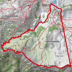
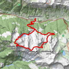
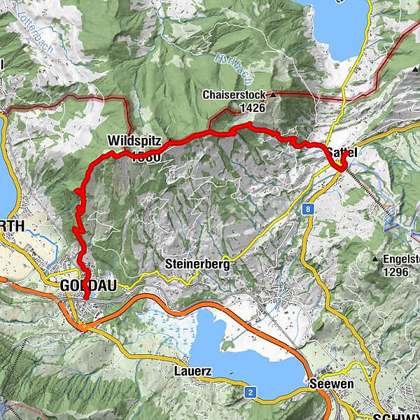
Goldau0,3 kmVogelsang0,3 kmTännmatt0,8 kmAussichtspunkt Herzig2,0 kmIn den Roren3,9 kmTeuffeli4,0 kmGnipen (1.568 m)6,0 kmBerggasthaus Wildspitz7,1 kmWildspitz (1.580 m)7,1 kmHinter Gwandelen9,2 kmHalsegg9,6 kmPizzeria Quadrifoglio12,5 kmHirschen12,5 kmSattel (Talstation Hochstuckli) (780 m)13,1 kmSattel13,4 km
- La stagione migliore
-
genfebmaraprmaggiulugagosetottnovdic
- Punto più alto
- 1.552 m
- Destinazione
-
Sattel SOB Bahnhof
- Profilo altimetrico
-
 © outdooractive.com


-

-
AutoreIl tour Schwyzer Höhenweg, Etappe 3, Goldau – Sattel è utilizzato da outdooractive.com fornito.
GPS Downloads


Info generali
Punto di ristoro
Fauna
Promettente
Altri tour nelle regioni
-
Schwyz
1748
-
Ägerital - Sattel
911
-
Arth-Goldau
381