© Ulrike Först

© Ulrike Först

© Ulrike Först

© Ulrike Först

© Ulrike Först

© Ulrike Först

© Ulrike Först


© Ulrike Flrst

© Ulrike Först
Dati percorsi
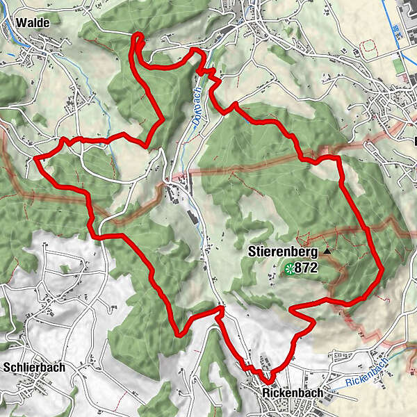
17,97km
593
- 782m
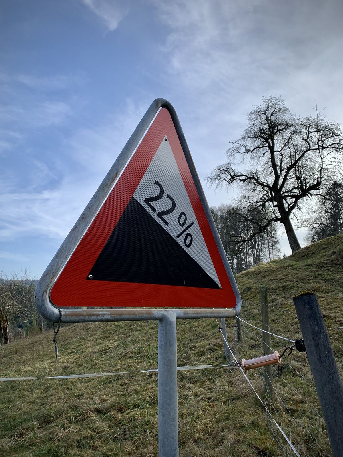
496hm
497hm
04:13h
- Descrizione rapida
-
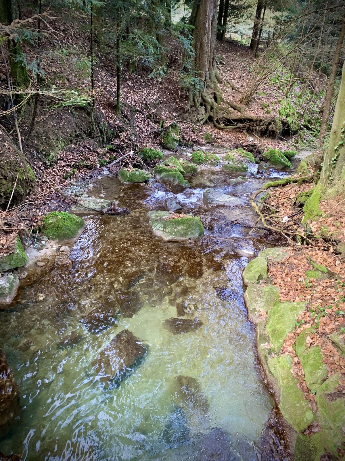
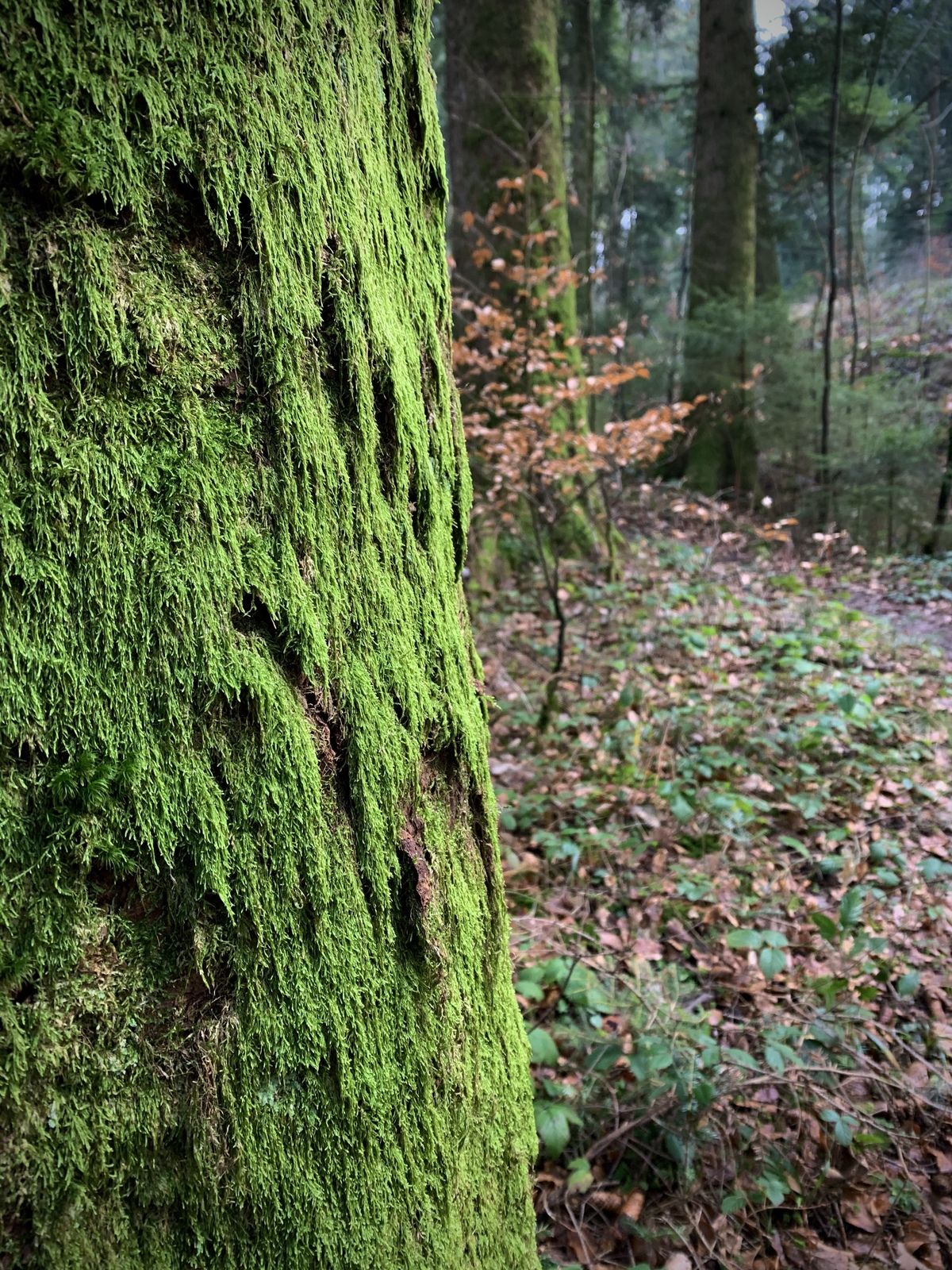
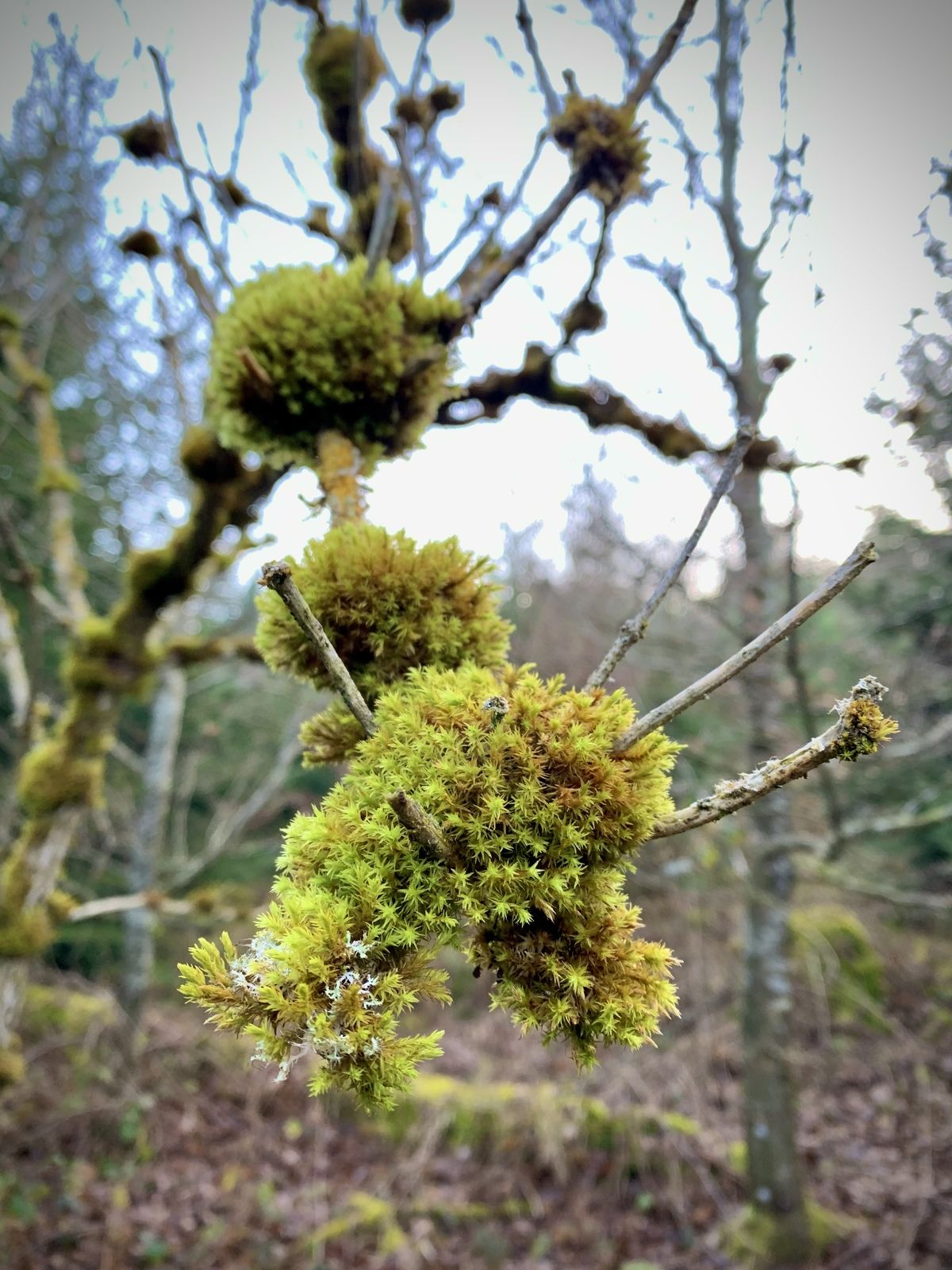
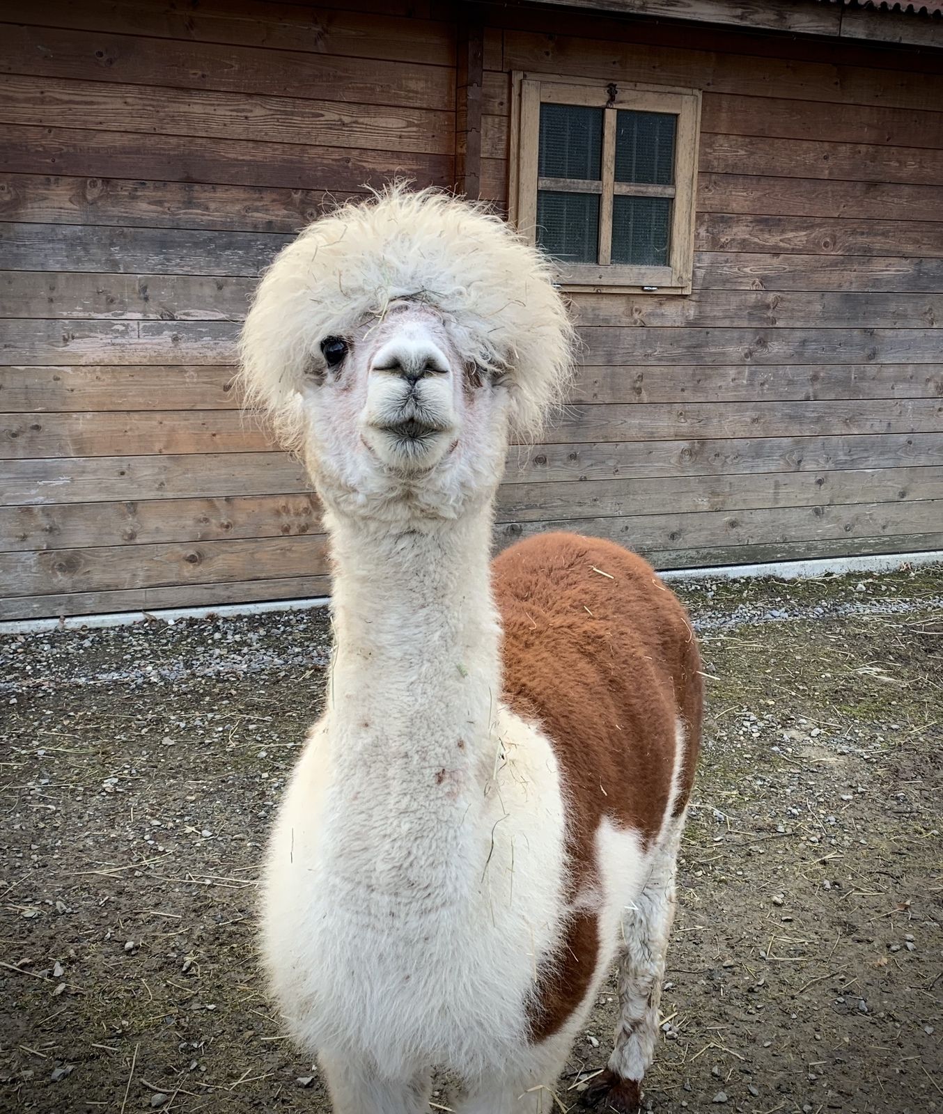
Feld-, Wald- und Wiesentour
- Difficoltà
-
facile
- Valutazione
-
- Punto di partenza
-
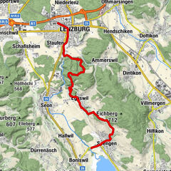
Rickenbach
- Percorso
-
Rickenbach LU (680 m)Schiltwald6,1 kmGasthof Bad Schwarzenberg10,5 kmGsteing14,2 kmRickenbach LU (680 m)17,7 km
- La stagione migliore
-
genfebmaraprmaggiulugagosetottnovdic
- Punto più alto
- 782 m
- Destinazione
-
Rickenbach


- Fonte
- Ulrike Flrst
GPS Downloads
Condizioni dei sentieri
Asfalto
Ghiaia
Prato
Foresta
Roccia
Esposta
Altri tour nelle regioni
-
Kanton Aargau
1493
-
Wynental
663
-
Rickenbach LU
94