© Schwyz Tourismus - Unbekannt


- Descrizione rapida
-
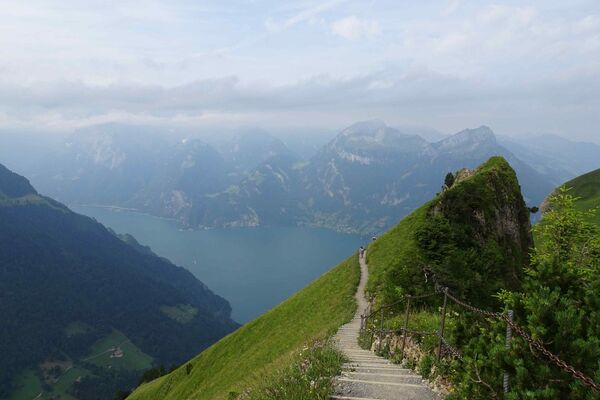
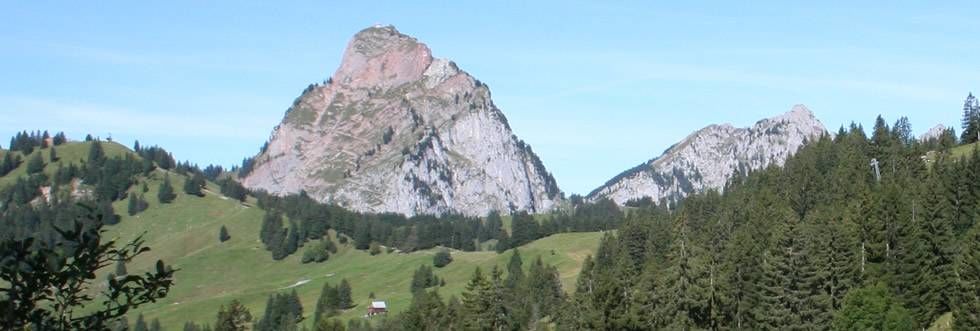
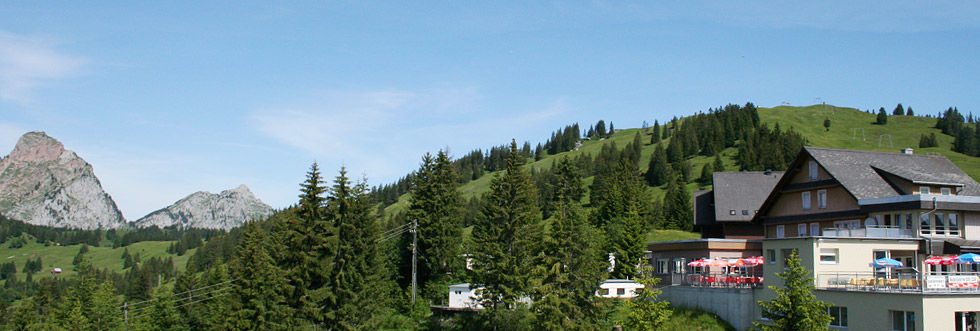
Schwyz: Hike with great views
Pleasant high-altitude hike with many opportunities to stop for refreshments from Rotenflue via Ibergeregg to Illgau. - Difficoltà
-
intermedio
- Valutazione
-
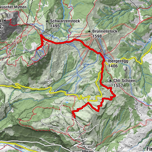
- Percorso
-
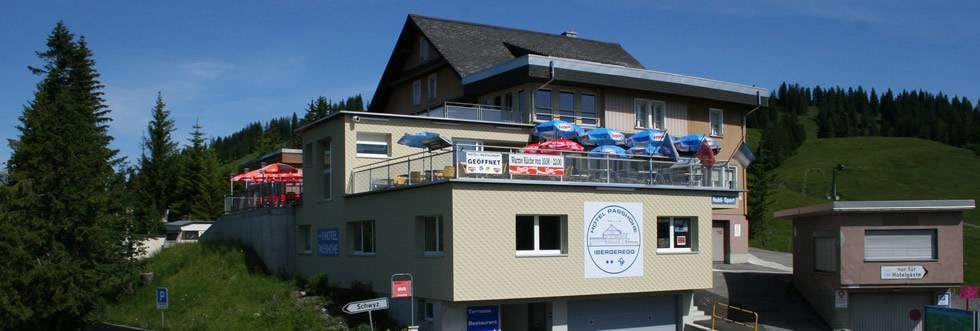
Gipfelstubli0,0 kmStägleren (1.465 m)0,9 kmMüsliegg (1.427 m)1,3 kmAlpwirtschaft Zwäcken1,9 kmSonnenhütte2,9 kmPasshöhe Ibergeregg3,2 kmIbergeregg3,2 kmAltberg4,6 kmOberberg6,8 kmSt. Karl7,4 kmOberberg St. Karl (1.180 m)7,5 km
- La stagione migliore
-
genfebmaraprmaggiulugagosetottnovdic
- Punto più alto
- 1.568 m
- Destinazione
-
Bergstation St. Karl
- Profilo altimetrico
-
 © outdooractive.com

- Autore
-
Il tour 3 Railways Tour Rotenflue-Illgau è utilizzato da outdooractive.com fornito.
GPS Downloads


Info generali
Punto di ristoro
Promettente
Altri tour nelle regioni
-
Schwyz
1757
-
Mythenregion
895
-
Ibergeregg
293