© Ferienregion Andermatt - Andermatt-Urserntal Tourismus GmbH

© Ferienregion Andermatt - Andermatt-Urserntal Tourismus GmbH

© Ferienregion Andermatt - Andermatt-Urserntal Tourismus GmbH

© Ferienregion Andermatt - Andermatt-Urserntal Tourismus GmbH

© Ferienregion Andermatt - Andermatt-Urserntal Tourismus GmbH

© Ferienregion Andermatt - Andermatt-Urserntal Tourismus GmbH

© Ferienregion Andermatt - Andermatt-Urserntal Tourismus GmbH

- Descrizione rapida
-
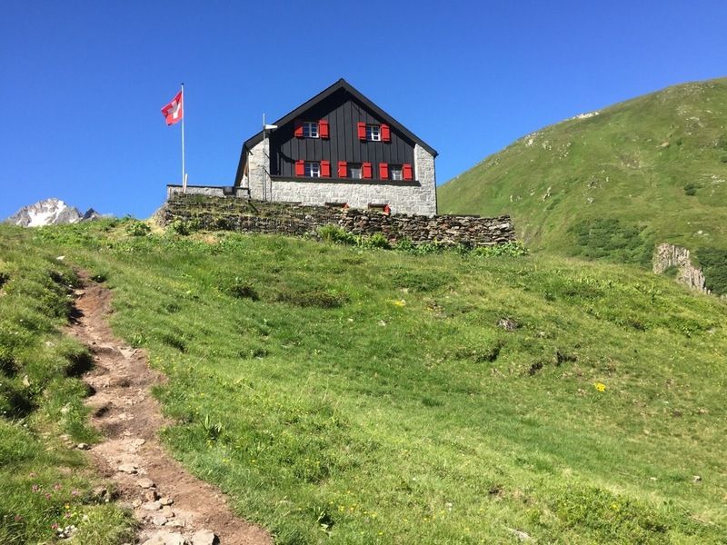
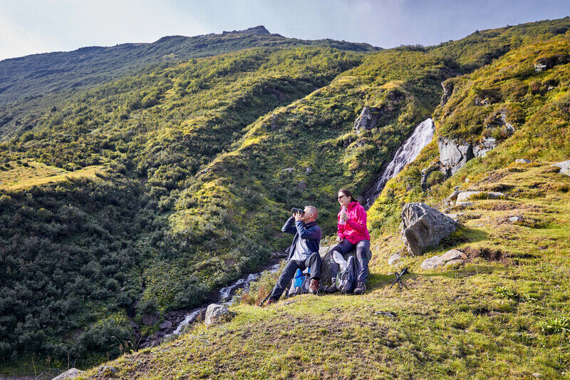
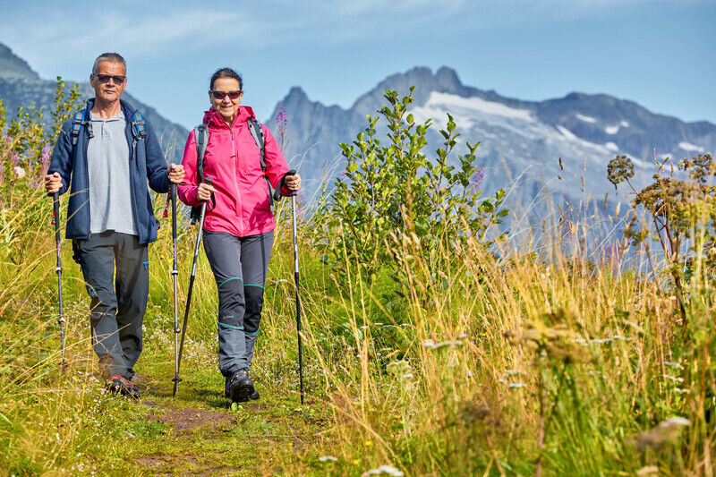
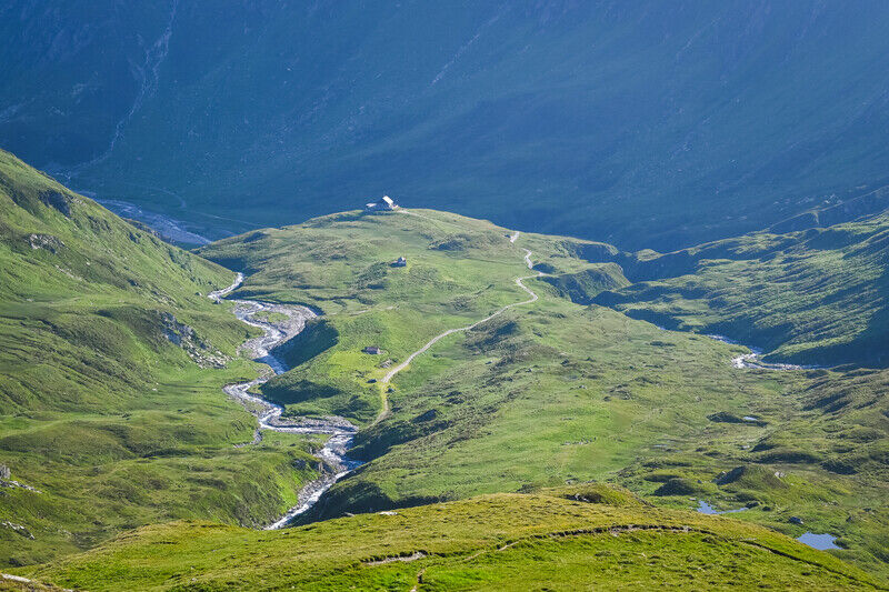
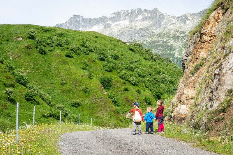
Die Vermigelhütte ist durch einen einfachen, gut ausgebauten und sehr idyllischen Weg durchs Unteralptal erreichbar.
- Difficoltà
-
intermedio
- Valutazione
-
- Percorso
-
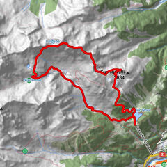
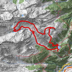
Andermatt (1.436 m)0,0 kmAndermatt (1.447 m)0,5 kmMariahilfkapelle0,7 kmMariahilfkapelle15,5 kmAndermatt (1.447 m)15,8 kmAndermatt (1.436 m)16,2 km
- La stagione migliore
-
genfebmaraprmaggiulugagosetottnovdic
- Punto più alto
- 1.972 m
- Destinazione
-
Bahnhof Andermatt
- Profilo altimetrico
-
 © outdooractive.com

- Autore
-
Il tour Vermigelhütte SAC è utilizzato da outdooractive.com fornito.
GPS Downloads
Info generali
Punto di ristoro
Flora
Promettente