© Ferien- und Ausflugsregion Schwyz - Schwyz Tourismus

© Ferien- und Ausflugsregion Schwyz - Schwyz Tourismus

© Ferien- und Ausflugsregion Schwyz - Schwyz Tourismus

© Ferien- und Ausflugsregion Schwyz - Schwyz Tourismus

© Ferien- und Ausflugsregion Schwyz - Schwyz Tourismus

© Ferien- und Ausflugsregion Schwyz - Schwyz Tourismus

© Ferien- und Ausflugsregion Schwyz - Schwyz Tourismus

© Ferien- und Ausflugsregion Schwyz - Schwyz Tourismus


- Descrizione rapida
-
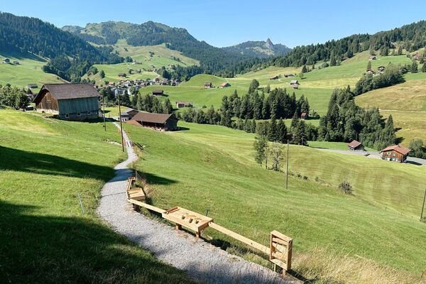
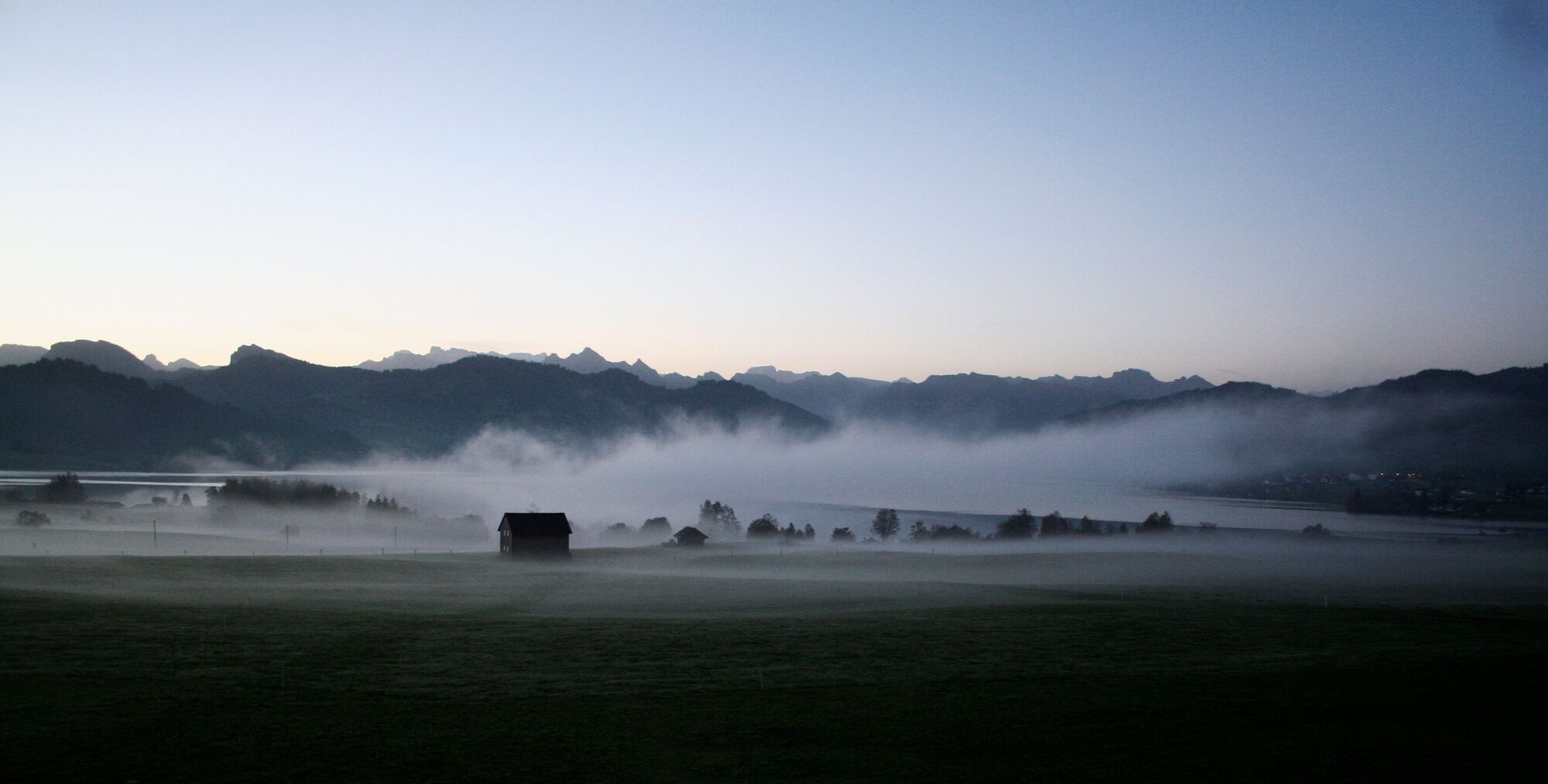
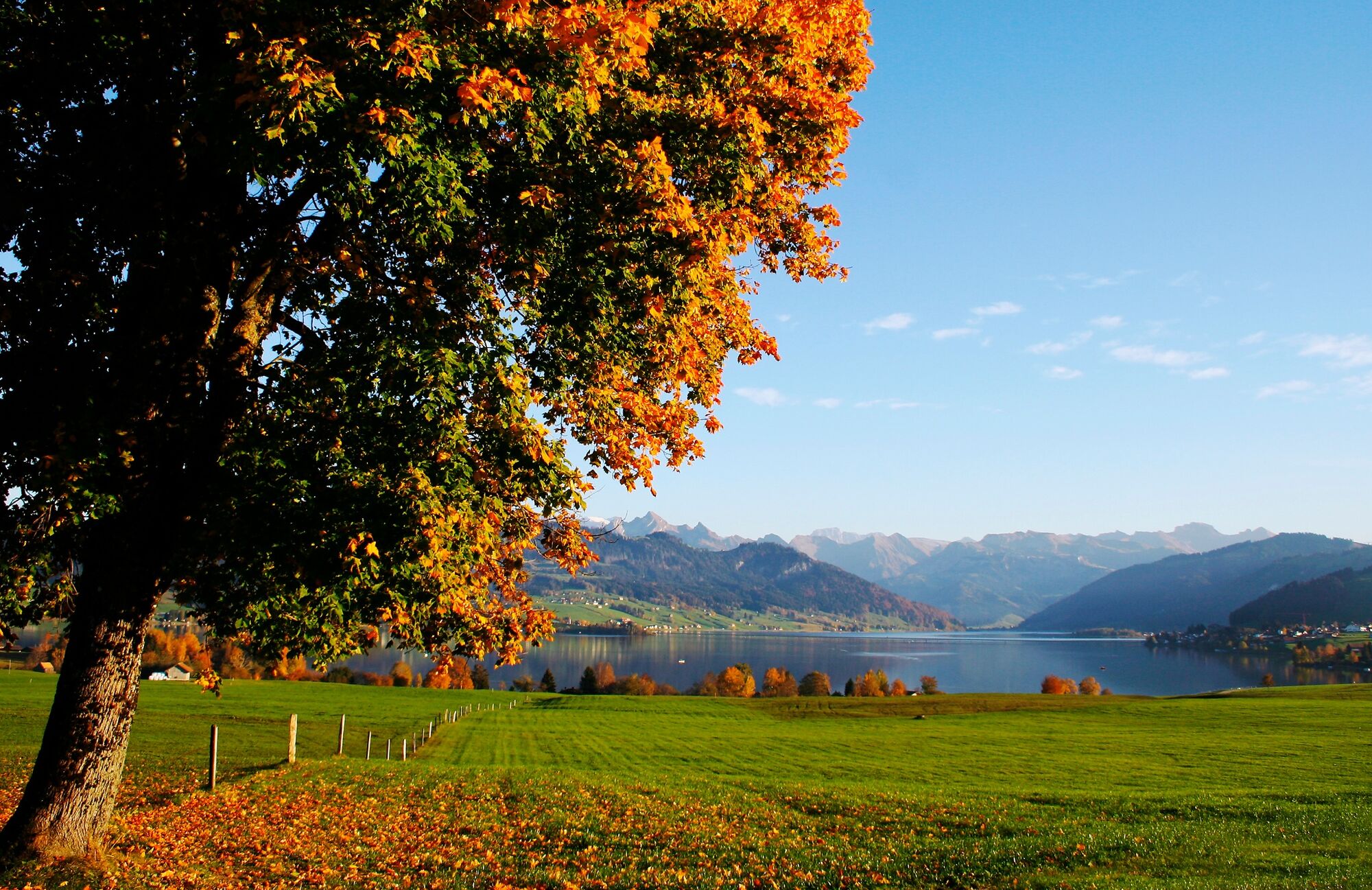
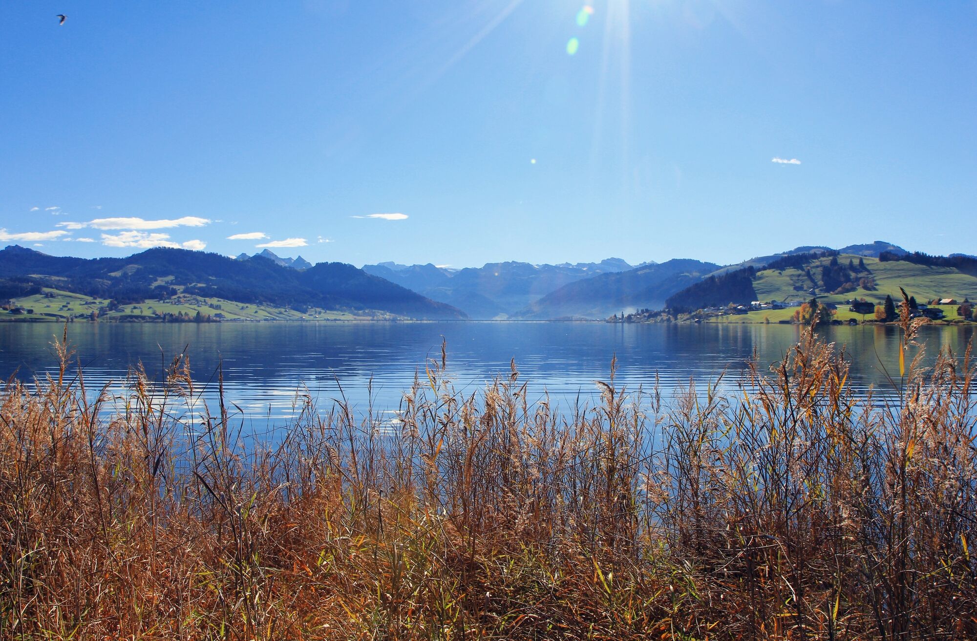
This thematic trail with nine interpretation panels offers a wealth of information on the region and the contrasts between then and now.
- Difficoltà
-
facile
- Valutazione
-
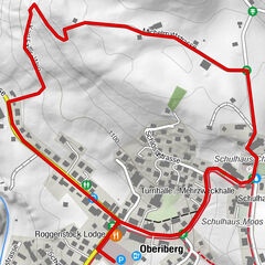
- Percorso
-
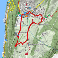
EinsiedelnSeglerbeizli4,1 kmSt. Gangulf8,7 kmEinsiedeln9,0 kmFoto-Spot Kloster Einsiedeln9,2 km
- La stagione migliore
-
genfebmaraprmaggiulugagosetottnovdic
- Punto più alto
- 964 m
- Destinazione
-
Einsiedeln
- Profilo altimetrico
-
 © outdooractive.com


-

-
AutoreIl tour Lake Sihl panoramic path è utilizzato da outdooractive.com fornito.
GPS Downloads


Info generali
Punto di ristoro
Culturale/Storico
Flora
Promettente
Altri tour nelle regioni
-
Schwyz
1748
-
Einsiedeln-Ybrig-Zürichsee
867
-
Einsiedeln
238