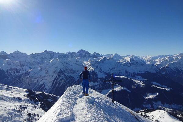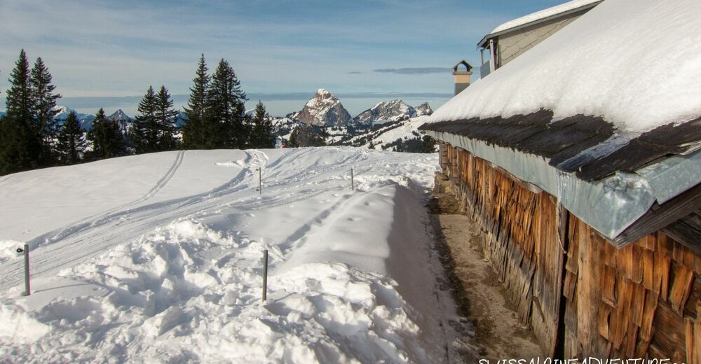
© Swiss Alpine Adventure - Dave O'Riordan
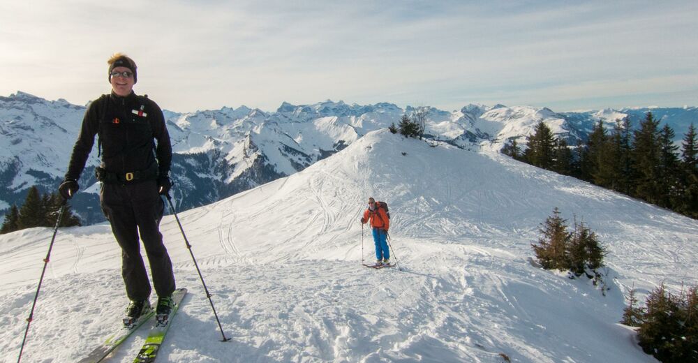
© Swiss Alpine Adventure - Dave O'Riordan
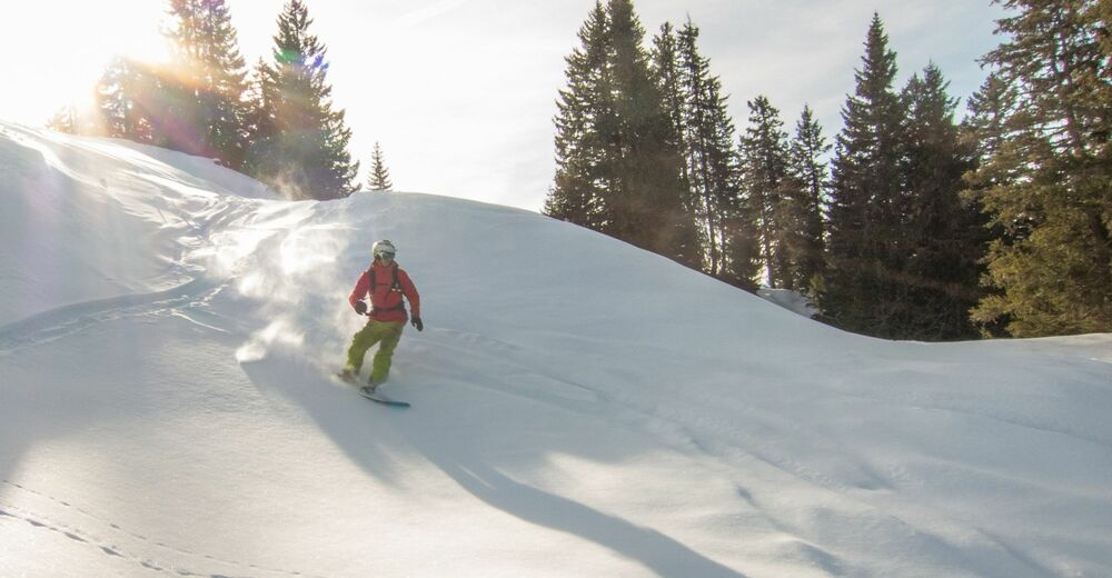
© Swiss Alpine Adventure - Dave O'Riordan
- Descrizione rapida
-
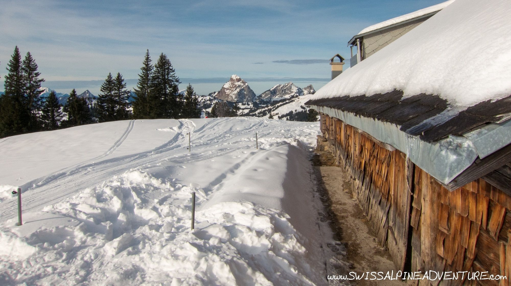
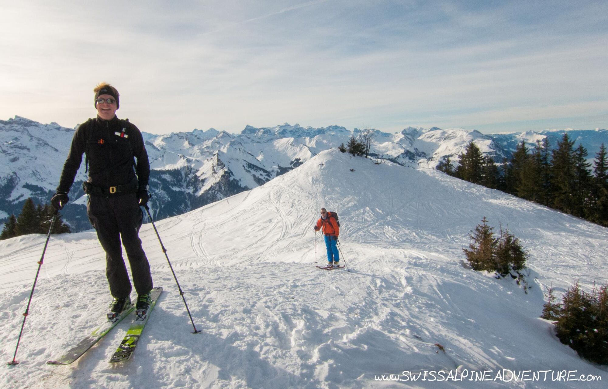
This is a very easy ski tour which can be performed in a wide range of conditions. Due to the relatively low altitude there needs to be good snow coverage for the tour to be possible.
- Difficoltà
-
facile
- Valutazione
-
- Percorso
-
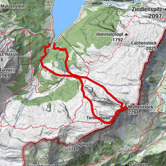
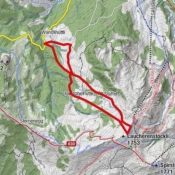
Alt Staffel1,3 kmLaucherenstöckli (1.753 m)2,0 kmIsentobelhütte2,7 km
- La stagione migliore
-
agosetottnovdicgenfebmaraprmaggiulug
- Punto più alto
- 1.753 m
- Destinazione
-
Laucherenstöckli
- Exposition
- Profilo altimetrico
-
 © outdooractive.com

-

-
AutoreIl tour Laucherenstöckli è utilizzato da outdooractive.com fornito.
GPS Downloads


Altri tour nelle regioni
-
Schwyz
58
-
Mythenregion
33
-
Ibergeregg
18