© Stoos-Muotatal Tourismus GmbH - Stoos-Muotatal Tourismus


© Stoos-Muotatal Tourismus GmbH - Stoos-Muotatal Tourismus

© Stoos-Muotatal Tourismus GmbH - Ali Cinek
- Descrizione rapida
-
Recharge one's batteries
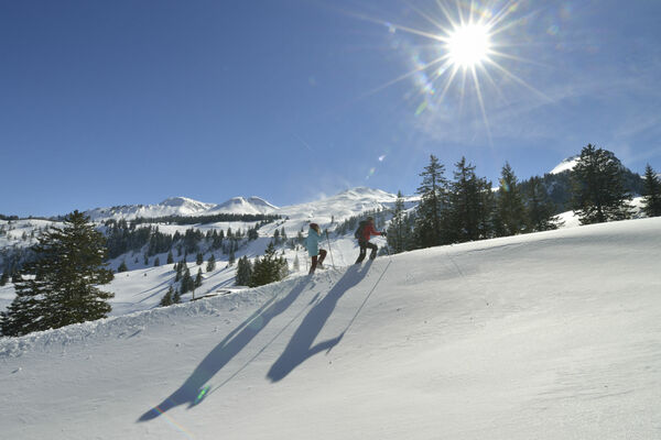
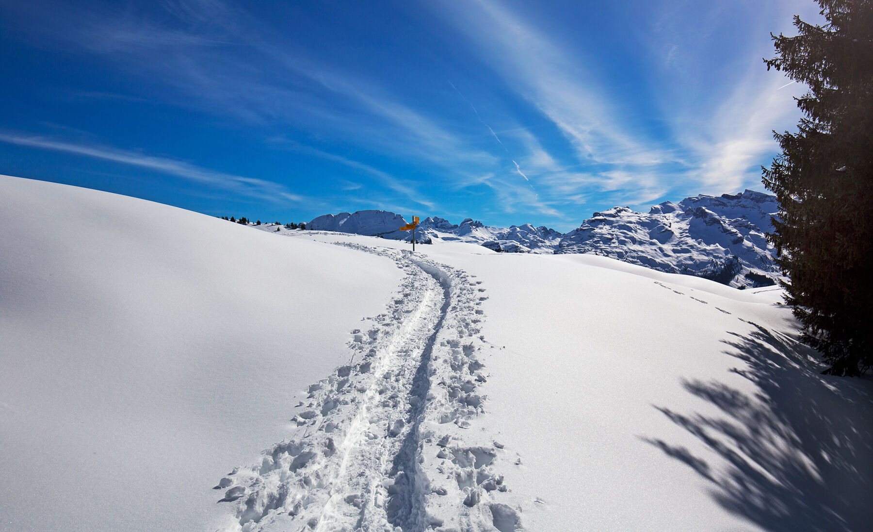
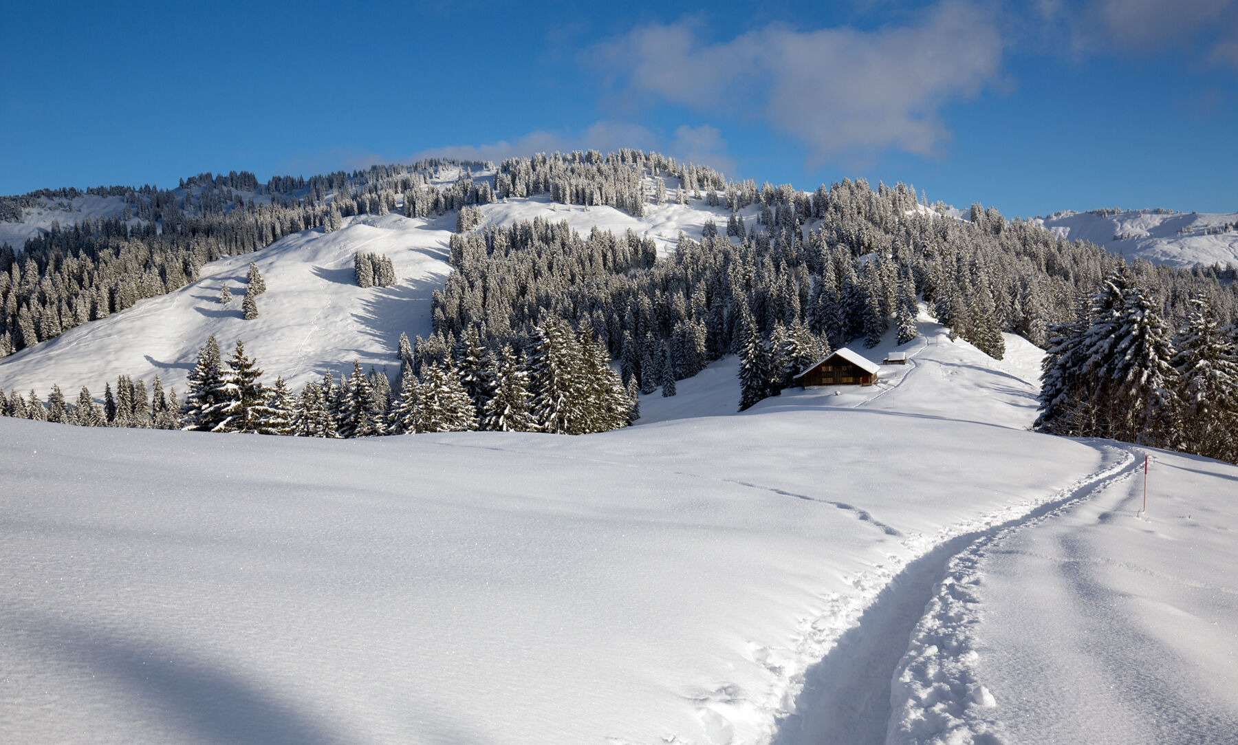
The area around the mountain village of Illgau radiates power and tranquillity. Therefore it is appreciated by nature lovers and snowshoe hikers. Thanks to its southern orientation and altitude, the area often lies above the fog line.
The signposted snowshoe routes are permitted in the Ibergeregg nature reserve.
- Difficoltà
-
intermedio
- Valutazione
-
- Percorso
-
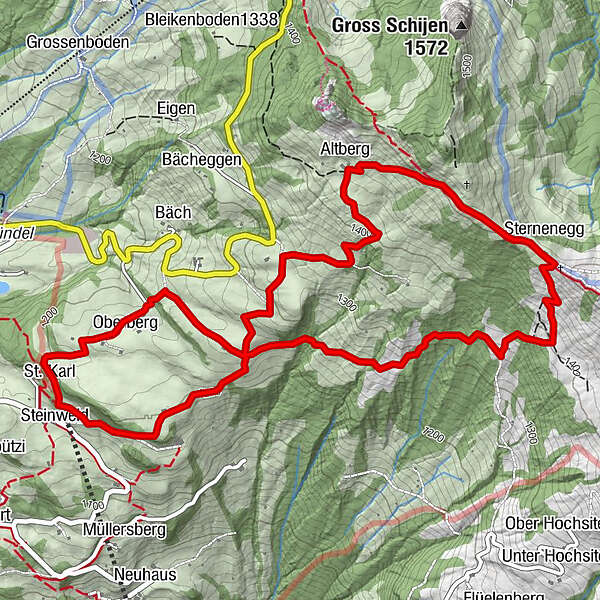
St. Karl0,1 kmSternenegg3,5 kmAltberg4,6 kmOberberg St. Karl (1.180 m)7,1 km
- La stagione migliore
-
agosetottnovdicgenfebmaraprmaggiulug
- Punto più alto
- 1.514 m
- Destinazione
-
St. Karl
- Profilo altimetrico
-
 © outdooractive.com
- Autore
-
Il tour Circular trail St. Karl - Sternegg - St. Karl è utilizzato da outdooractive.com fornito.
GPS Downloads


Info generali
Punto di ristoro
Promettente
Altri tour nelle regioni
-
Schwyz
99
-
Mythenregion
59
-
Ibergeregg
30