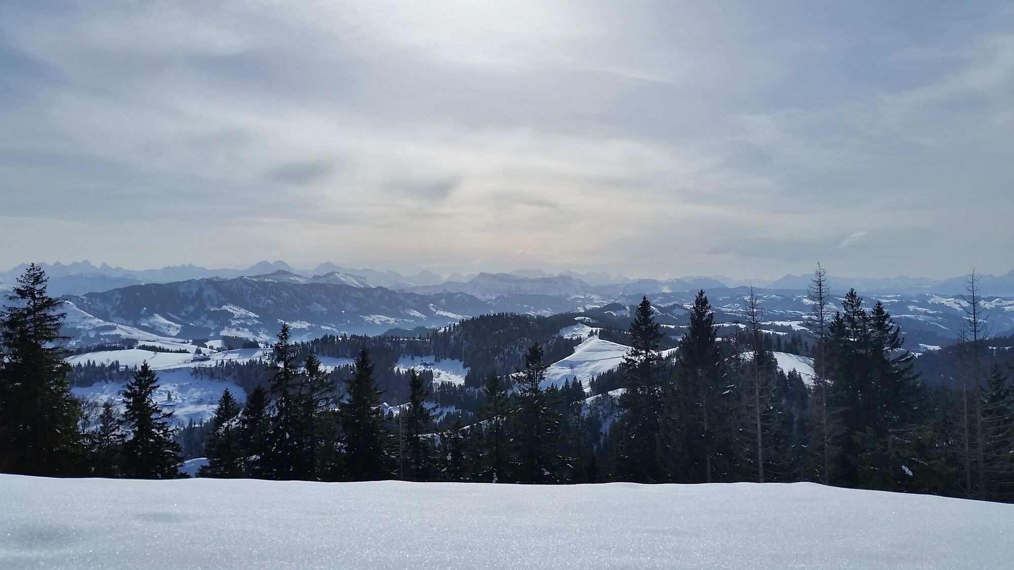
© Willisau Tourismus - Pi Häfliger


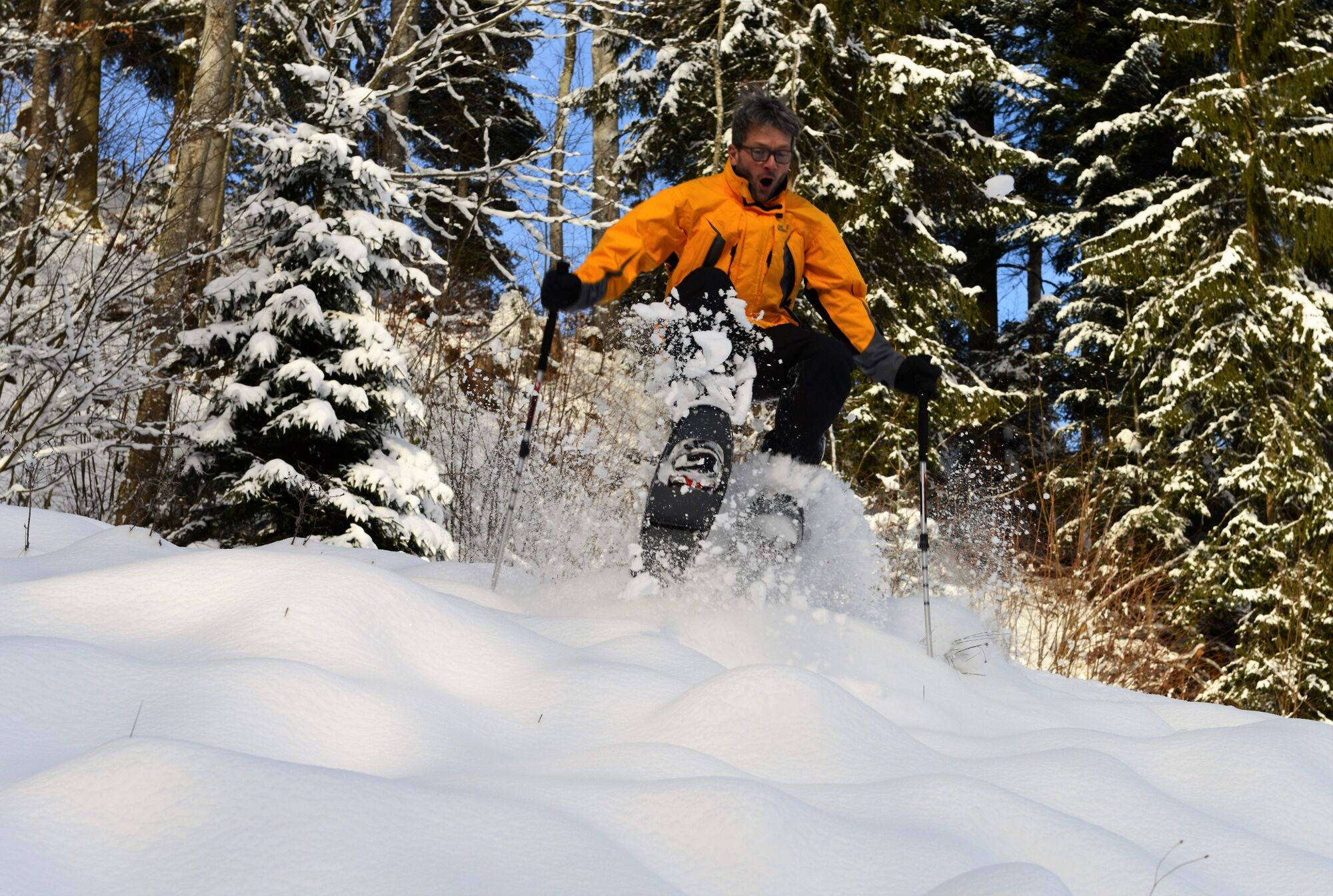
© Willisau Tourismus - Pi Häfliger


- Descrizione rapida
-
A delightful and well-signposted snowshoeing round trail on the Napf.
- Difficoltà
-
difficile
- Valutazione
-
- Percorso
-
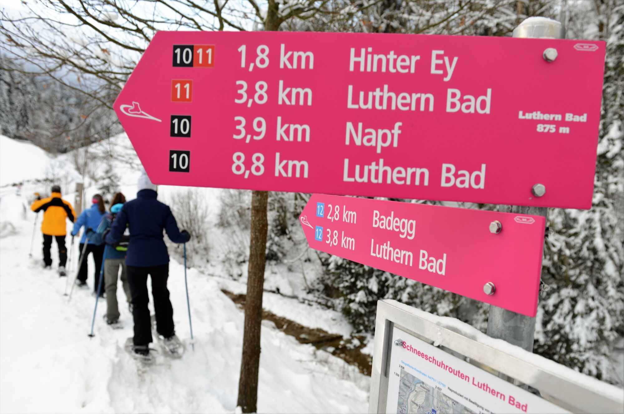
Luthern Bad0,0 kmGasthaus Hirschen0,0 kmHinter-Ey1,9 kmBergwirtschaft Trachselegg2,8 kmNapf4,1 kmGrüeblihängst (1.366 m)4,6 kmEyflue (1.286 m)6,3 kmBergwirtschaft Ober-Badegg8,1 kmGasthaus Hirschen8,9 kmLuthern Bad8,9 km
- La stagione migliore
-
agosetottnovdicgenfebmaraprmaggiulug
- Punto più alto
- 1.400 m
- Destinazione
-
Luthern Bad
- Profilo altimetrico
-
 © outdooractive.com

-

-
AutoreIl tour From Luthern Bad to the Napf è utilizzato da outdooractive.com fornito.
GPS Downloads


Info generali
Punto di ristoro
Promettente
Altri tour nelle regioni
-
Obwalden
116
-
UNESCO Biosphäre Entlebuch
33
-
Luthern
6