© Engelberg-Titlis Tourismus - Engelberg - Titlis Tourismus

© Engelberg-Titlis Tourismus - Engelberg - Titlis Tourismus

© Engelberg-Titlis Tourismus - Engelberg - Titlis Tourismus

© Engelberg-Titlis Tourismus AG

- Descrizione rapida
-
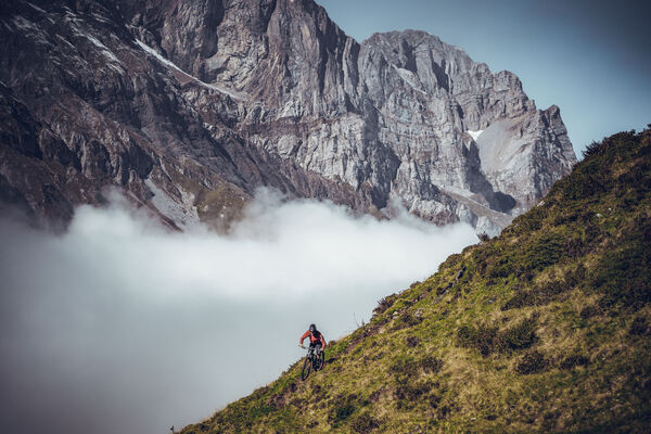
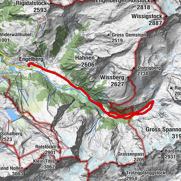
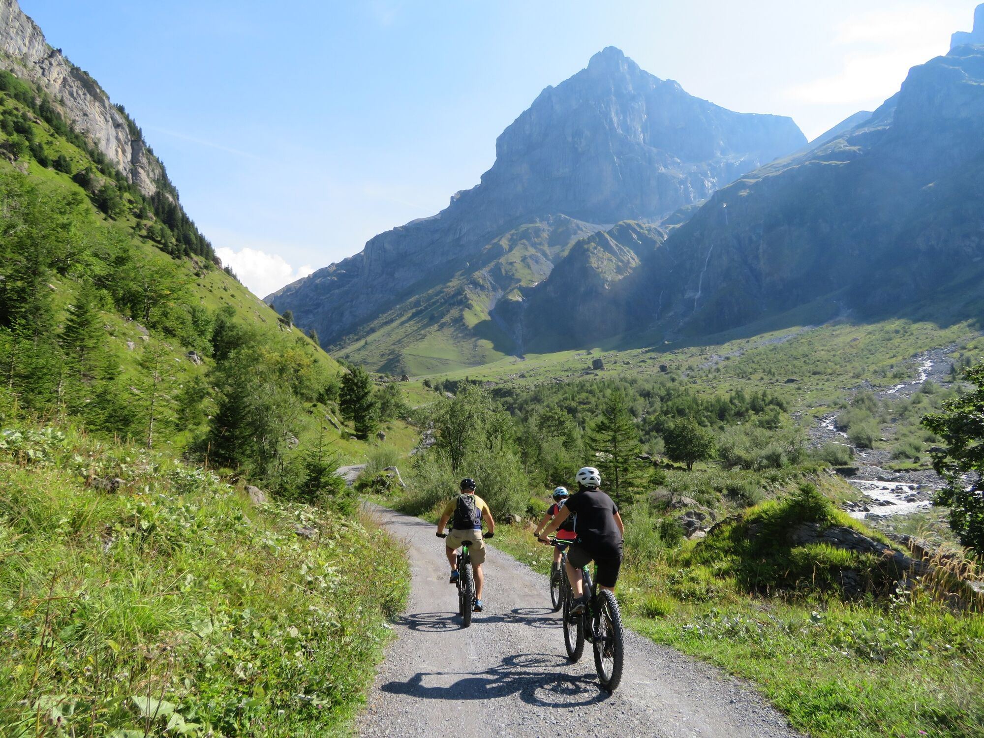
This tour takes bikers into another world. The Niedersurenen valley of the Engelberger Aa leads quietly and almost mysteriously along towards the Surenen pass. Always the massive Spannörter with their special form before your eyes.
- Difficoltà
-
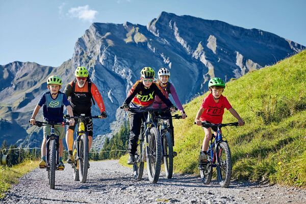
facile
- Valutazione
-
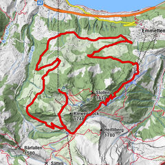
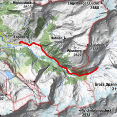
- Percorso
-
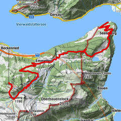
Engelberg (1.002 m)0,0 kmEngelberg (1.000 m)0,3 kmTätschbachfall3,9 kmWasserfall4,0 kmHohmatt4,1 kmTalstation Herrenrüti5,6 kmNiedersurenen7,5 kmAlpenrösli7,5 kmBerggasthaus Stäfeli8,7 kmStäfeli8,7 kmNiedersurenen10,4 kmTalstation Herrenrüti12,3 kmTalstation Herrenrüti12,5 kmHohmatt13,8 kmWasserfall13,8 kmTätschbachfall13,8 kmEngelberg (1.000 m)17,7 kmEngelberg (1.002 m)18,0 km
- La stagione migliore
-
genfebmaraprmaggiulugagosetottnovdic
- Punto più alto
- 1.411 m
- Destinazione
-
Stäfeli
- Profilo altimetrico
-
 © outdooractive.com


-

-
AutoreIl tour Stäfeli Engelberg è utilizzato da outdooractive.com fornito.
GPS Downloads


Info generali
Punto di ristoro
Promettente
Altri tour nelle regioni