© Engelberg-Titlis Tourismus - Engelberg - Titlis Tourismus

© Engelberg-Titlis Tourismus - Engelberg - Titlis Tourismus

© Engelberg-Titlis Tourismus - Engelberg - Titlis Tourismus

- Descrizione rapida
-
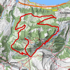
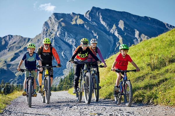
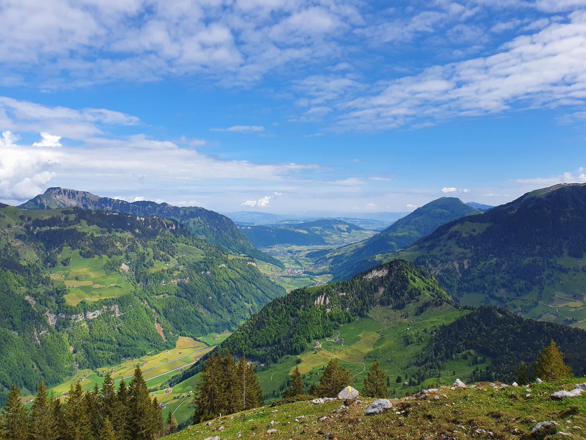
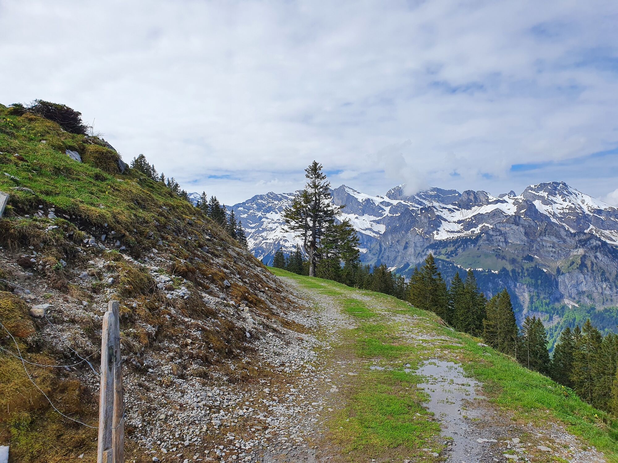
Biking on the sunny side of Engelberg is possible on the route to Walenalp. The technically easy but conditionally demanding tour offers the perfect biking route for sporty families with the wonderful view of the Engelberg Valley and the beautiful fireplace at the finish.
- Difficoltà
-
intermedio
- Valutazione
-
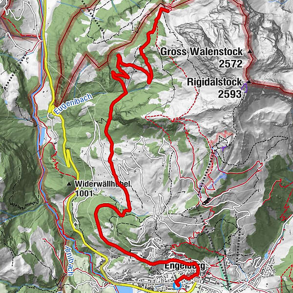
- Percorso
-
Engelberg (1.002 m)0,0 kmMülibrunnen0,8 kmEngelberg (1.000 m)1,0 kmSchwandstrasse2,2 kmSchwand (1.189 m)4,5 kmTalstation Schwand6,2 kmTalstation Wandalp8,5 kmWalenalp10,0 km
- La stagione migliore
-
genfebmaraprmaggiulugagosetottnovdic
- Punto più alto
- 1.672 m
- Destinazione
-
Walenalp
- Profilo altimetrico
-
 © outdooractive.com

-

-
AutoreIl tour Walenalp Engelberg è utilizzato da outdooractive.com fornito.
GPS Downloads


Info generali
Punto di ristoro
Promettente
Altri tour nelle regioni