© Engelberg-Titlis Tourismus - Beat Brechbühl

© Engelberg-Titlis Tourismus - Beat Brechbühl

- Descrizione rapida
-
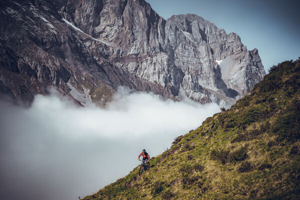
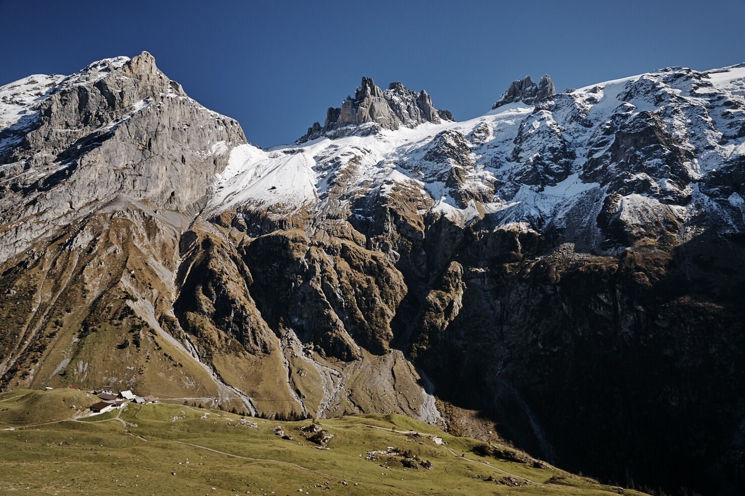
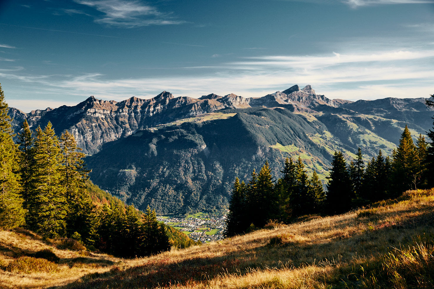
This demanding tour takes bikers through the mysteriously quiet Niedersurenen Valley into another world. Along the Engelberger Aa for the route to the Surenen Pass. The imposing Spannörter and the Stäuber waterfall are just two of the numerous highlights on this tour.
- Difficoltà
-
difficile
- Valutazione
-
- Percorso
-
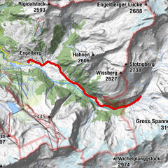
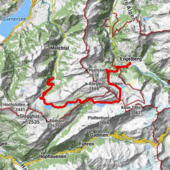
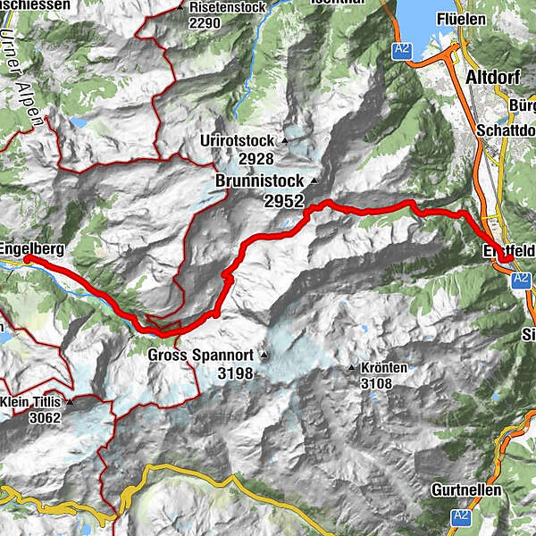
Engelberg (1.002 m)0,0 kmEngelberg (1.000 m)0,3 kmTätschbachfall3,8 kmWasserfall4,0 kmHohmatt4,1 kmTalstation Herrenrüti5,7 kmNiedersurenen7,6 kmAlpenrösli7,6 kmBerggasthaus Stäfeli8,8 kmStäfeli8,8 kmStäuberfall II11,7 kmStäuberfall I11,7 kmBlackenalp13,4 kmBachhütte21,7 kmBocki24,3 kmErstfeld (475 m)27,8 km
- La stagione migliore
-
genfebmaraprmaggiulugagosetottnovdic
- Punto più alto
- 2.284 m
- Destinazione
-
Erstfeld train station
- Profilo altimetrico
-
 © outdooractive.com
-

-
AutoreIl tour Bike tour Surenenpass è utilizzato da outdooractive.com fornito.
GPS Downloads


Info generali
Punto di ristoro
Promettente
Altri tour nelle regioni
-
Uri
198
-
Engelberg Titlis
104
-
Isenthal
43