
© Region Luzern-Vierwaldstättersee - Kanuwelt Buochs

- Descrizione rapida
-
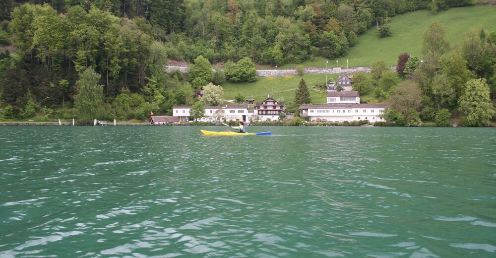
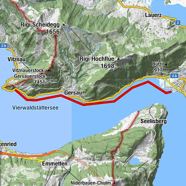
Der Weg von Rotschuo nach Brunnen führt alles am Ufer entlang. Es ist eine einfache Route an meist unbewohnter Uferzone.
- Difficoltà
-
facile
- Valutazione
-
- Percorso
-
Gersau1,9 km
- La stagione migliore
-
genfebmaraprmaggiulugagosetottnovdic
- Punto più alto
- 433 m
- Destinazione
-
Brunnen
- Profilo altimetrico
-
 © outdooractive.com

-
-
AutoreIl tour Rotschuo (Gersau) - Brunnen è utilizzato da outdooractive.com fornito.
GPS Downloads


Info generali
Punto di ristoro
Altri tour nelle regioni