
© Region Luzern-Vierwaldstättersee - Kanuwelt Buochs

- Descrizione rapida
-
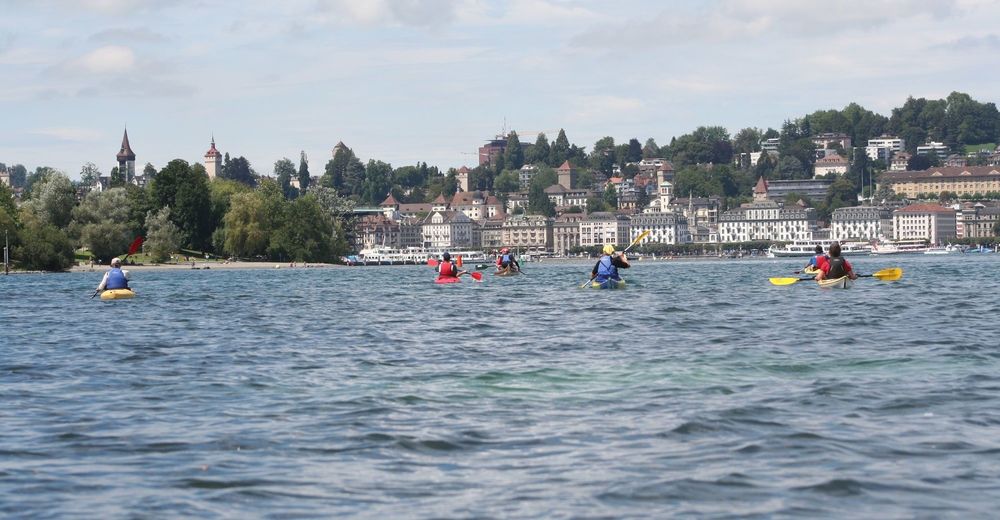
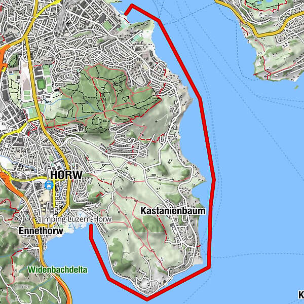
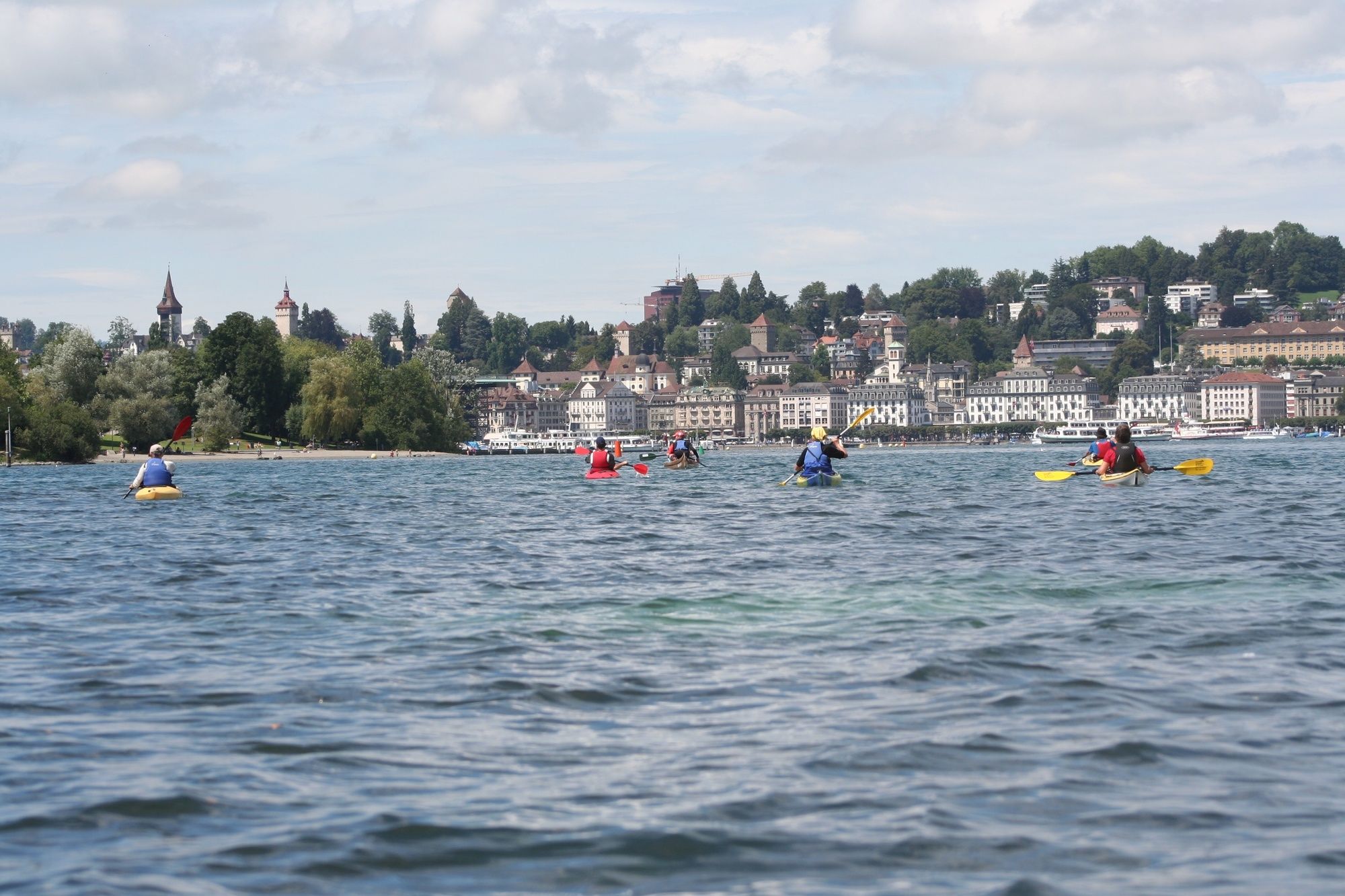
Die Route führt um die Horwer-Halbinsel an der Ortschaft Kastanienbaum vorbei bis nach Luzern. Die Uferzone ist geprägt von wunderschönen Villen und führt an einem Rebberg vorbei.
- Difficoltà
-
intermedio
- Valutazione
-
- Percorso
-
HorwWinkelLucerna (436 m)8,0 km
- La stagione migliore
-
genfebmaraprmaggiulugagosetottnovdic
- Punto più alto
- 434 m
- Destinazione
-
Luzern
- Profilo altimetrico
-
 © outdooractive.com
-
-
AutoreIl tour Horw-Luzern è utilizzato da outdooractive.com fornito.
GPS Downloads


Info generali
Punto di ristoro
Promettente
Altri tour nelle regioni