© Ferienregion Andermatt - Stiftung Vier-Quellen-Weg
© Ferienregion Andermatt - Stiftung Vier-Quellen-Weg
© Ferienregion Andermatt - Stiftung Vier-Quellen-Weg
© Ferienregion Andermatt - Stiftung Vier-Quellen-Weg
© Ferienregion Andermatt - Stiftung Vier-Quellen-Weg

- Descrizione rapida
-
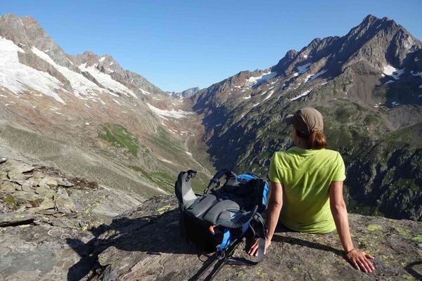
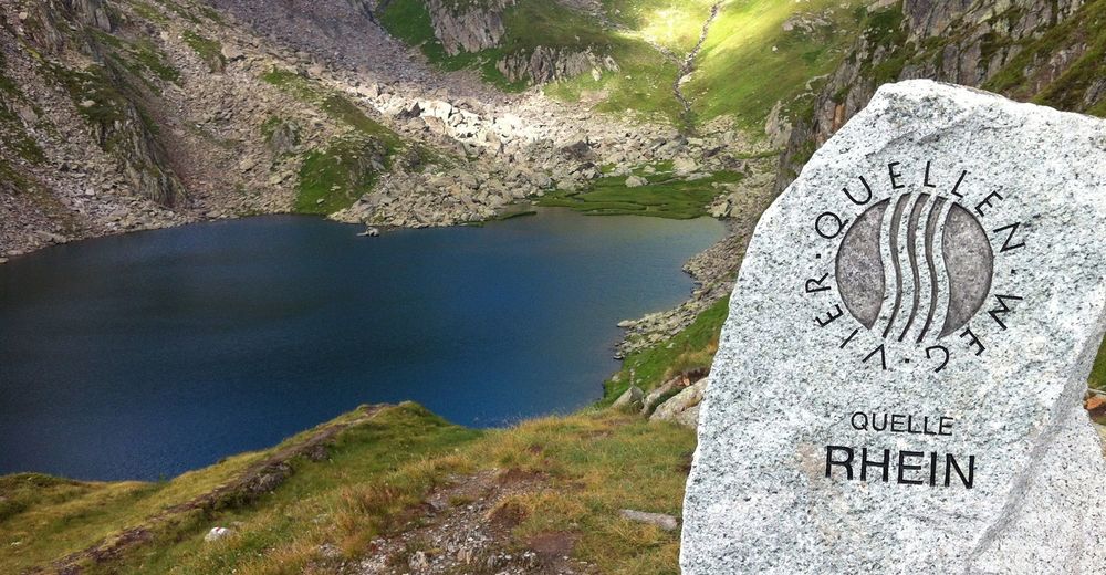
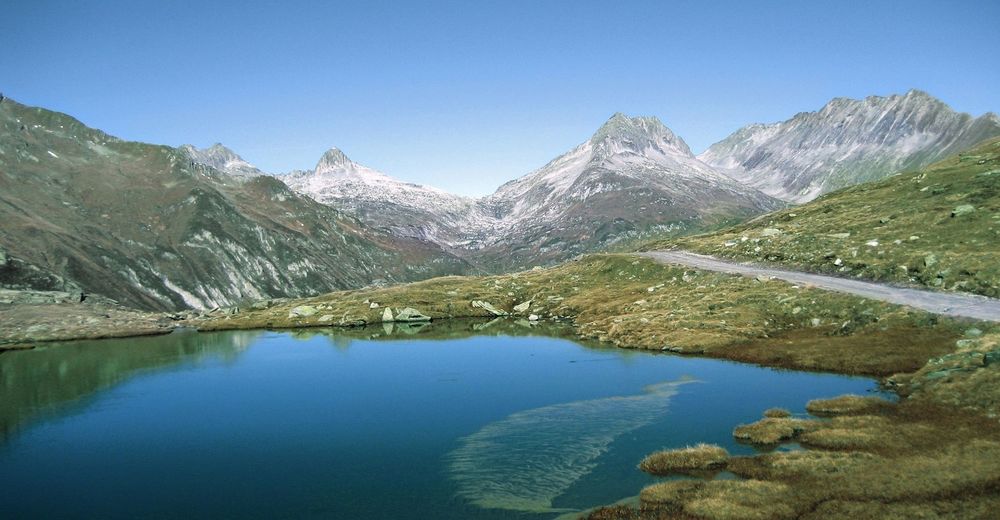
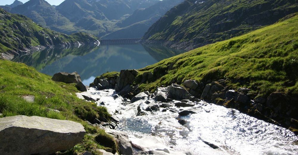
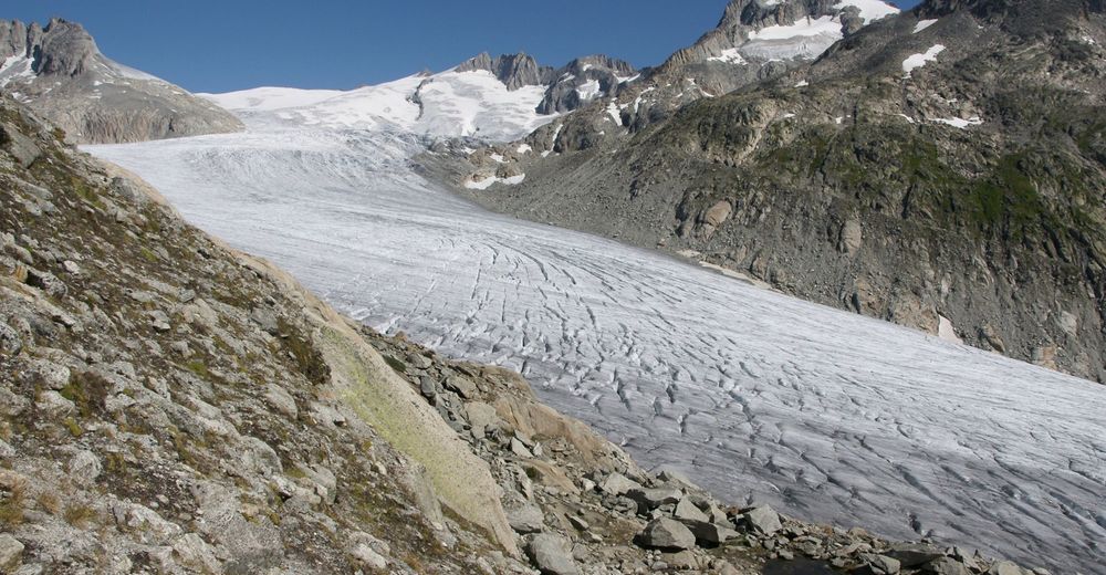
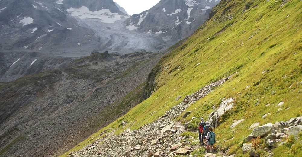
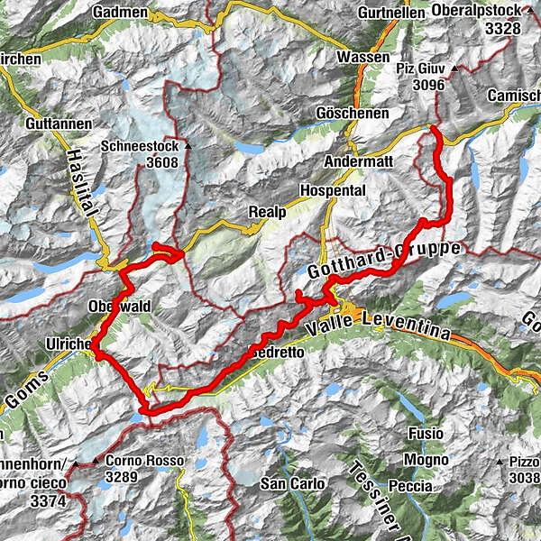
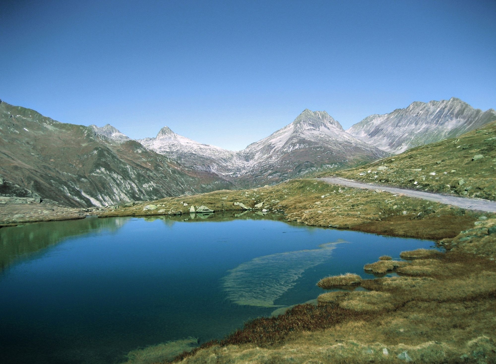
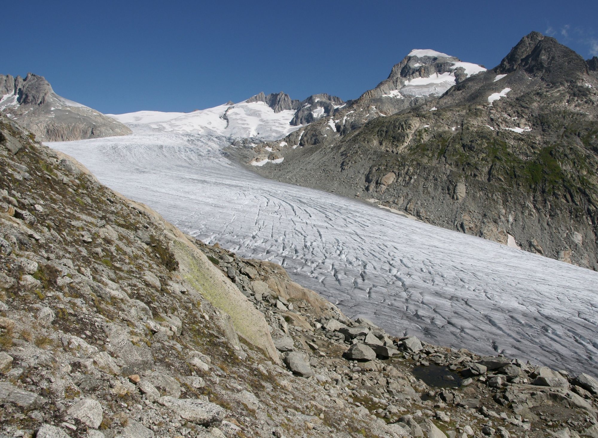
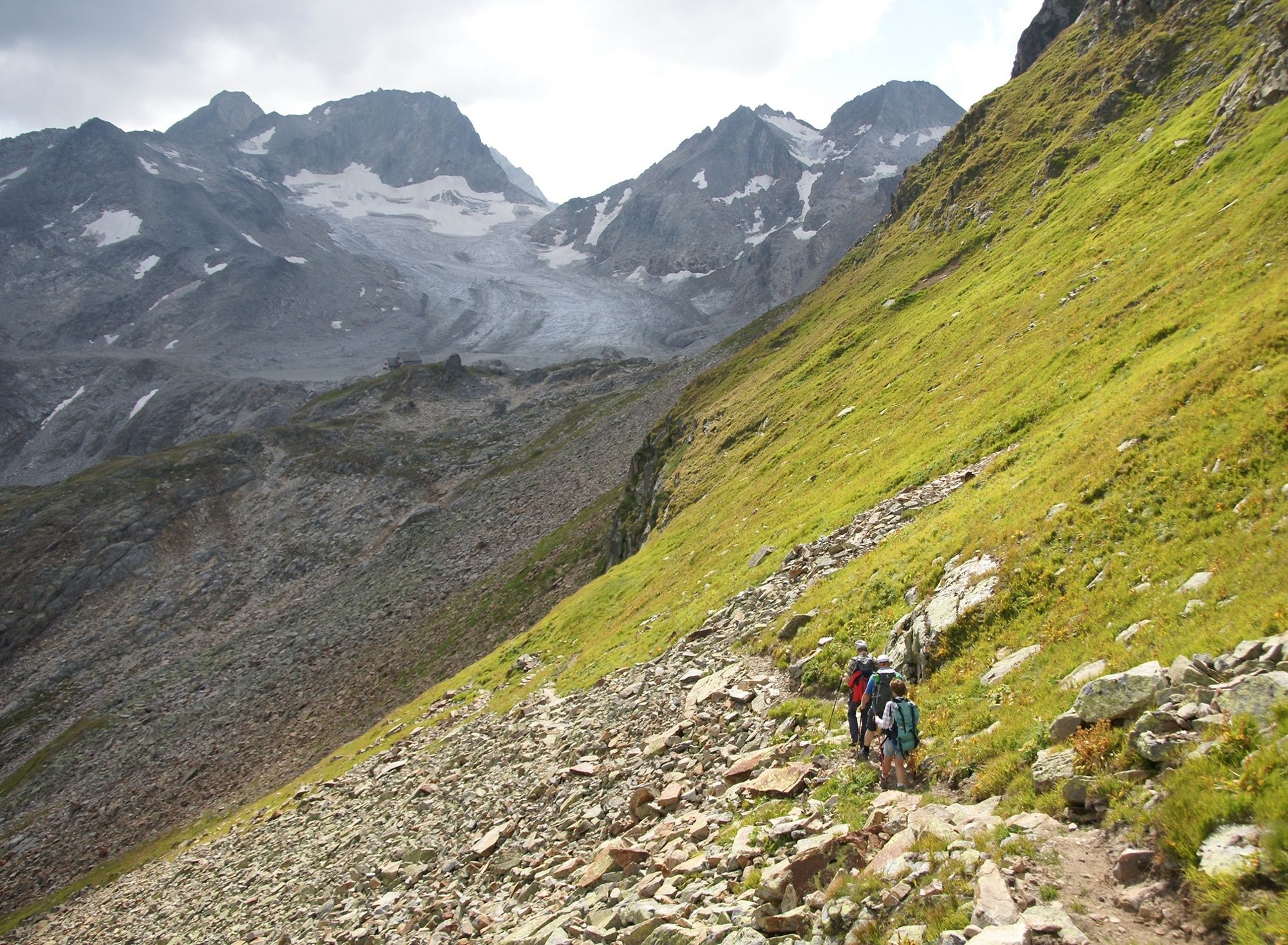
This trek in the Gotthard massif will take hikers to the four sources of the Rhine, Reuss, Ticino and Rhone rivers. Mountain shelters directly along the route and hotels in nearby villages can be used for overnight accommodation.
- Percorso
-
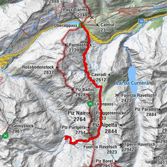
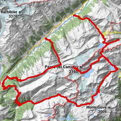
Oberalppass (2.033 m)Piz Calmot0,1 kmGasthaus Piz Calmot0,2 kmVermigel Hütte12,8 kmGiübin (2.776 m)18,3 kmAlte Sust25,4 kmOspizio del San Gottardo (2.091 m)25,4 kmScuderia25,5 kmSan Gottardo25,5 kmCapanna Piansecco (1.982 m)46,2 kmAlpe di Rotondo46,2 kmCapanna Corno-Gries53,0 kmMandeli (2.433 m)56,2 kmKitt63,9 kmObergesteln (1.355 m)66,8 kmPizzeria al Ponte70,6 kmBinelti70,6 kmOberwald (1.377 m)70,7 kmKirche Heilig Kreuz70,8 kmFurka70,8 kmRhonequelle72,7 kmGletsch (1.759 m)76,3 kmMuttbach-Belvédère (2.117 m)80,1 kmRhone Glacier View84,2 km
- La stagione migliore
-
genfebmaraprmaggiulugagosetottnovdic
- Punto più alto
- 2.767 m
- Destinazione
-
Furkapass, Belvédère
- Profilo altimetrico
-
 © outdooractive.com


- Autore
-
Il tour Four Headwaters Trail è utilizzato da outdooractive.com fornito.
GPS Downloads


Info generali
Punto di ristoro
Promettente