© Visit Luxembourg - Pancake

© Visit Luxembourg - Pancake

- Descrizione rapida
-
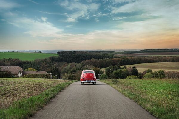
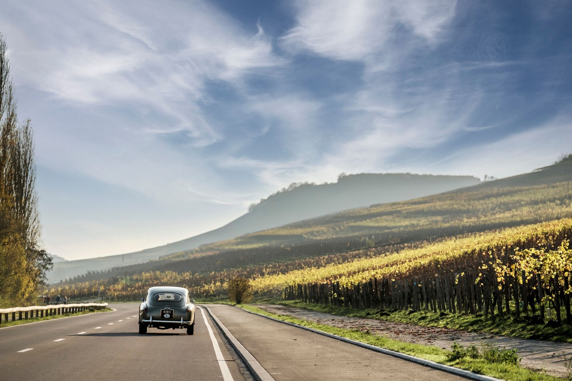
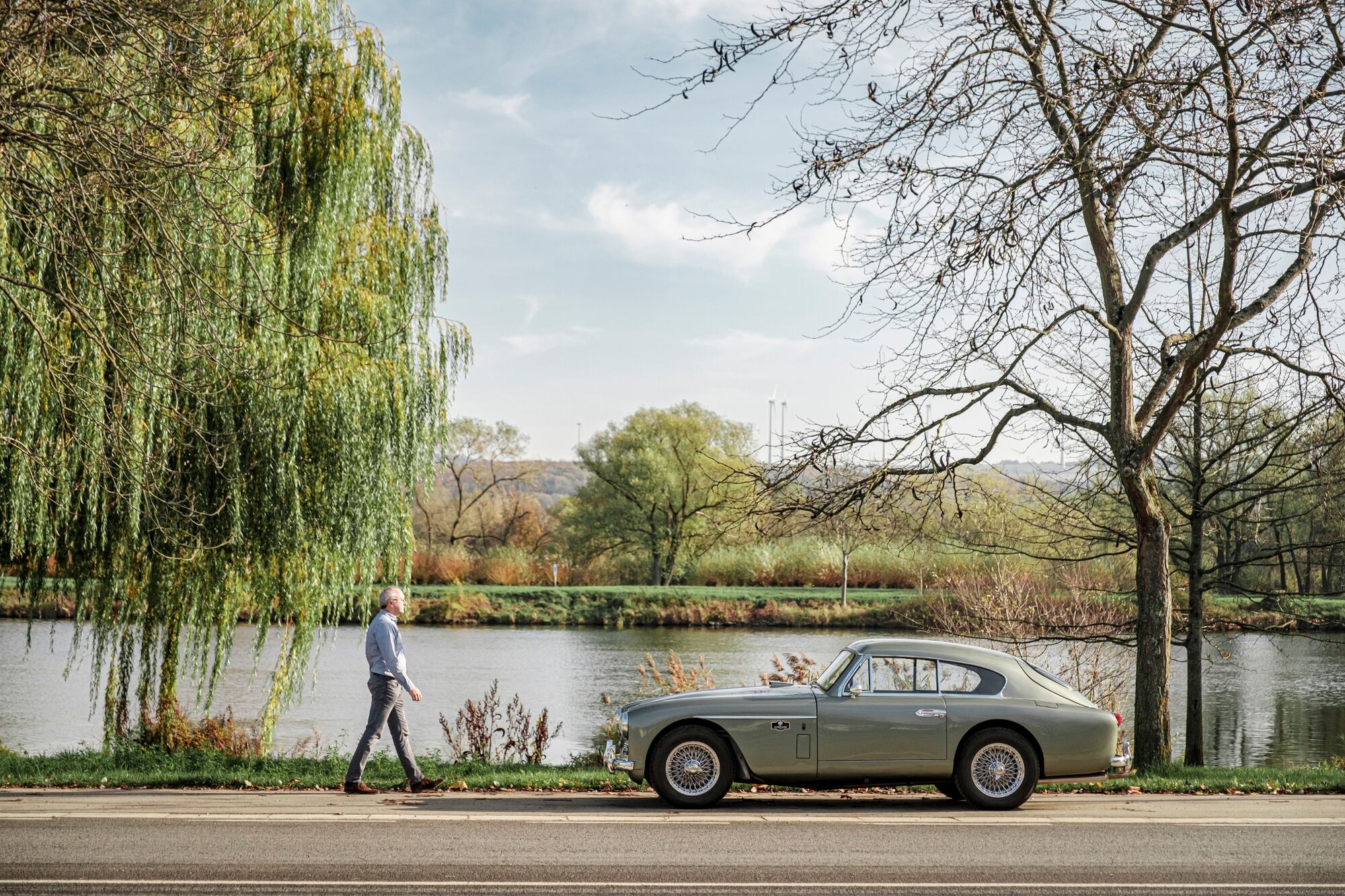
Driving for 115km along vineyards, the Moselle river and beautiful orchids, what better setting can you imagine for cruising around in your vintage car or on your motorbike?
This special route will take you to the south-east of Luxembourg, making you explore not only the picturesque villages and the endless vineyards, but also a unique cultural and river landscape. So fill up your fuel tank, put your sunglasses on and get ready for the ride!
- Difficoltà
-
facile
- Valutazione
-
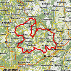
- Percorso
-
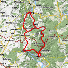
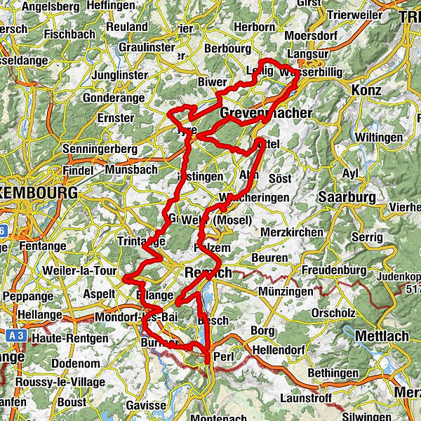
NavitoursRemich0,1 kmVilla Belle-Rive1,2 kmAm Broch2,1 kmStadtbredimus2,9 kmPalzem2,9 kmEcluse3,2 kmEcluse / Pier 293,2 kmGreiweldingen6,5 kmSaint-Jacques-le-Majeur6,6 kmCaves Leuck-Thull / Restaurant Wäistuff Leuck8,6 kmSaint-Pierre8,6 kmLenningen8,7 kmEhnen10,4 kmÉglise St-Roch10,5 kmFu Zhou10,5 kmFu-Zhou10,5 kmOberwormeldingen12,8 kmAhn15,4 kmRestaurant Mathes15,6 kmNittel18,7 kmMachtum22,9 kmOberdonven26,8 kmBuchholz30,0 kmL'Etage34,7 kmGrevenmacher37,9 kmTemmels40,9 kmMertert43,0 kmSaint-Antoine-l'Ermite49,1 kmLellig49,2 kmManternach51,0 kmSyrdall53,3 kmWecker-Gare53,8 kmAl Treno54,2 kmWecker54,3 kmRestaurant de la Gare54,3 kmWecker55,5 kmWeckergronn56,2 kmBerg57,8 kmSainte Marie59,9 kmBetzdorf60,4 kmOlingen63,2 kmBanzelt64,4 kmFlaxweiler66,0 kmLe Menhir66,2 kmÉglise Saint-Érasme70,5 kmBeyren70,5 kmCanach73,4 kmTrintingen79,9 kmRoedt80,0 kmWaldbredimus83,3 kmSaint-Sébastien83,5 kmGondelingen84,3 kmDalheim86,1 kmJin Yang Guang86,3 kmWelfringen88,4 kmEllingen91,5 kmLa Rameaudière92,1 kmEllange Gare92,2 kmBad Mondorf94,3 kmSainte-Barbe98,6 kmBürmeringen98,7 kmRemerschen101,6 kmL'inconnu103,3 kmL'Inconnu103,3 kmSchengen104,0 kmWäistrooss104,6 kmBrasserie du Port108,6 kmSchwebsingen109,2 kmSaint-Pirmin109,3 kmHanner Weltesch111,1 kmBech-Kleinmacher111,3 kmAn Pärdech111,7 kmWellenstein112,3 kmRemich118,3 kmNavitours118,7 km
- La stagione migliore
-
genfebmaraprmaggiulugagosetottnovdic
- Punto più alto
- 340 m
- Destinazione
-
Parking du Pont Remich
- Profilo altimetrico
-
 © outdooractive.com
- Autore
-
Il tour Moselle Tour - Grand Tour du Luxembourg è utilizzato da outdooractive.com fornito.
GPS Downloads


Info generali
Punto di ristoro
Culturale/Storico
Promettente
Altri tour nelle regioni
")

")